Install
McMurray, PA Weather
Current conditions
Observed at Pittsburgh - Allegheny County Airport · 22 min ago
Forecast
10-day-
Saturday
Sunny, with a high near 65. East wind around 2 mph.
-
Saturday Night
Clear, with a low around 35.
-
Sunday
Patchy frost before 9am. Sunny, with a high near 66.
National Weather Service forecast updated 1 day ago.
Hourly
Hourly forecast- Now64°
- 3 PM64°
- 4 PM64°
- 5 PM64°
- 6 PM59°
- 7 PM55°
- 8 PM50°
- 9 PM47°
- 10 PM45°
- 11 PM43°
- Sun12 AM42°
- 1 AM40°
- 2 AM40°
- 3 AM39°
- 4 AM38°
- 5 AM37°
- 6 AM36°
- 7 AM35°
- 8 AM36°
- 9 AM41°
- 10 AM48°
- 11 AM54°
- 12 PM59°
- 1 PM62°
10-day forecast
Details- ThuOct 22Sunny41°65°
- FriOct 23Mostly Sunny37°63°
- TodayOct 24Sunny35°65°
- SunOct 25Patchy Frost then Sunny38°66°
- MonOct 26Sunny43°68°
- TueOct 27Mostly Sunny42°65°
- WedOct 28Partly Sunny44°66°
- ThuOct 29Partly cloudy0.10 in49°68°
- FriOct 30Partly cloudy36°51°
- SatOct 31Partly cloudy32°55°
Days after the National Weather Service's seven are MET Norway's outlook, a computer model with no forecaster's review.
Radar
Full mapWeather news in Pennsylvania
More weather news-
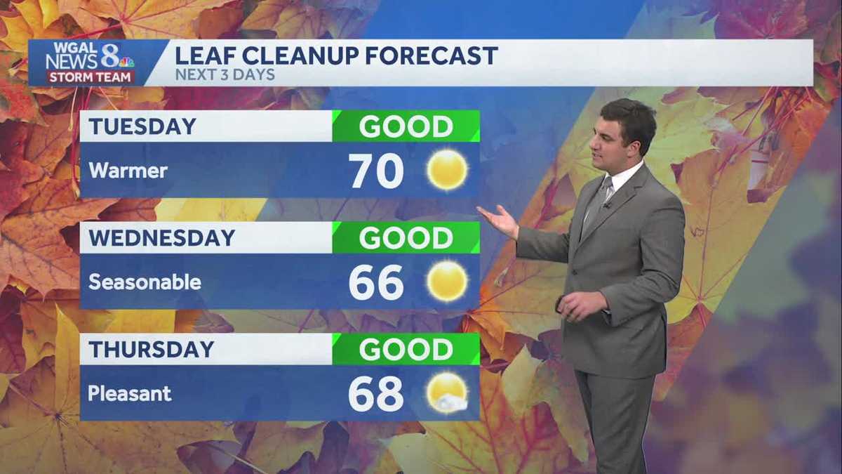 Seasonable sunshine and temperatures continue throughout the week in south central Pennsylvania
At or above average temperatures and 10 days of dry weather ahead. Tuesday looks to be the warmest day of the workweek. Expect bright blue skies and highs climbing to around 70 degrees. From Wednesday through Friday…
-
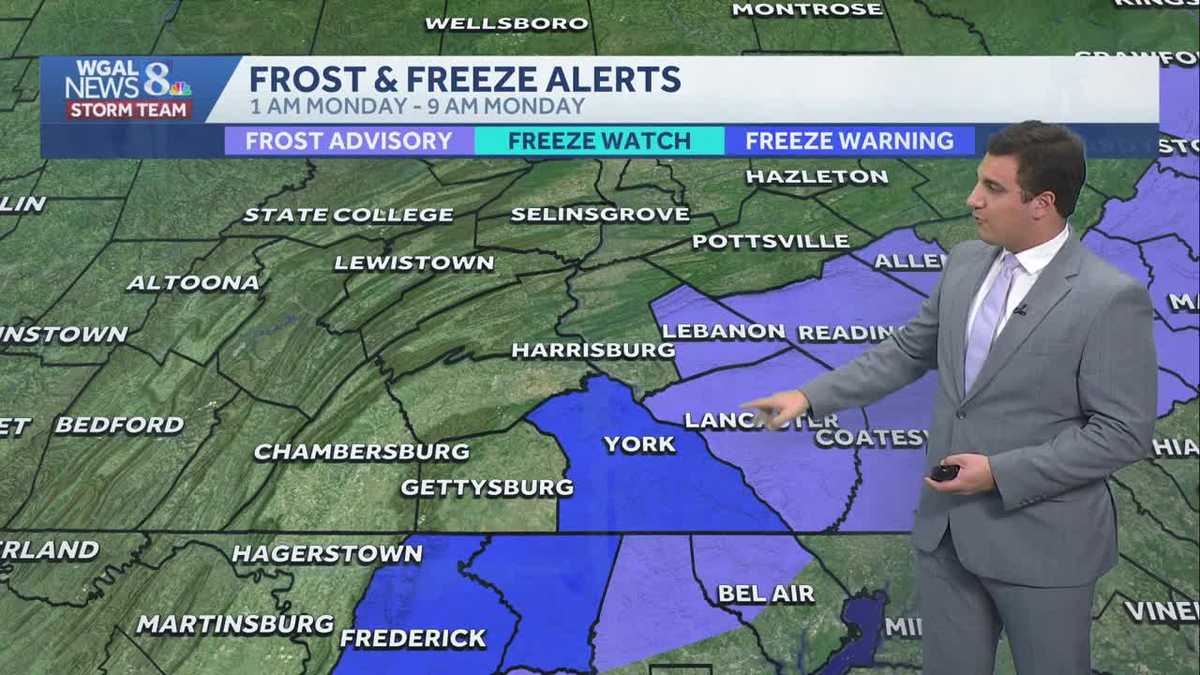 Impact: Frost & freeze alerts issued for some on Sunday night; sunny stretch next week in south central Pennsylvania
Another chilly and frosty night across south central Pennsylvania with lows dropping into the 30s. The National Weather Service has issued freeze warnings and frost advisories for parts of the Susquehanna Valley where…
-
 Freeze Watch Upgraded to Warning for Almost All of Pennsylvania as Conditions Worsen
Freeze Warnings are now in effect for most of Pennsylvania from 1 a.m. to 9 a.m. EDT Sunday, with lows between 25 and 30 degrees expected in central Pennsylvania. The earlier Freeze Watches have been upgraded to…
-
 Pennsylvania weather: Cold, cloudy, breezy in upper 40s
Alert!: Freeze watch Saturday night through Sunday morning (WBRE/WYOU) — Skies will clear and winds will diminish Saturday night with high pressure moving overhead. The clear sky and light winds will allow for cooling…
-
 Storm Boelo brings disruption with the full force still to come
Lough Melvin in County Fermanagh being battered by Storm Boelo on Saturday Storm Boelo has brought gusts of more that 70mph (113kph) to the east coast of Northern Ireland on Saturday, with conditions due to worsen later…
-
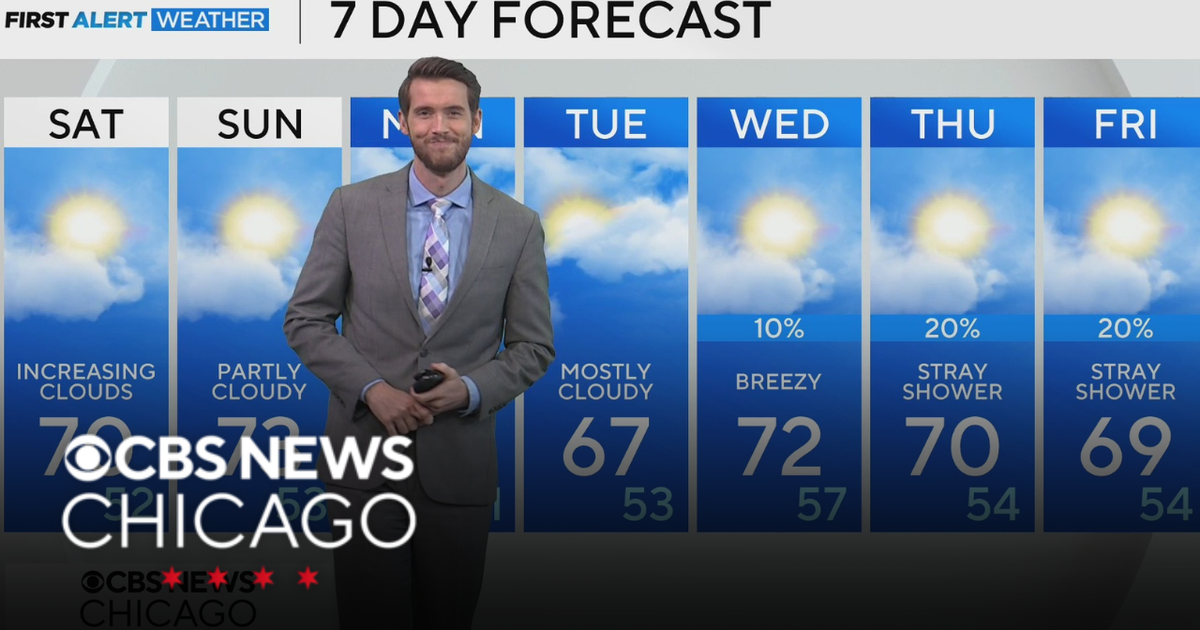 Mild, rain-free day Saturday for Chicago
CBS News Los Angeles Weekend 8am CBS News Miami This Morning 10am CBS News New York Saturday 11am Hometown High Q Classics CBS News Texas 9am
-
 Thousands without power as rain and wind continues
The Met Office issued a yellow weather warning for heavy rain on Saturday Thousands of homes are without power, and disruption is continuing across Devon and Cornwall after more stormy weather. On Friday, Storm Austen…
-
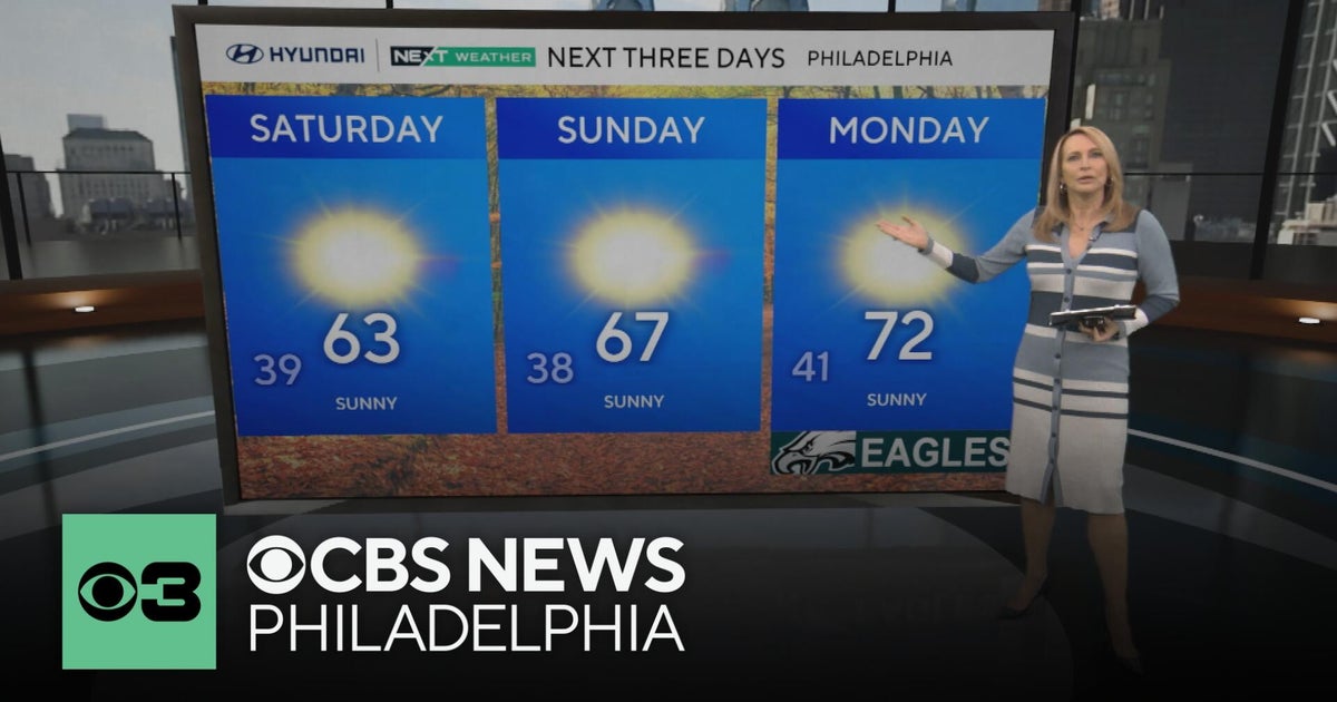 Frosty mornings and sunny days ahead in the Philadelphia area | NEXT Weather
CBS News Bay Area Morning Edition Weekend 7am CBS News Chicago Saturday at 9am CBS Colorado Mornings Weekend CBS News Los Angeles Weekend 7am CBS News Miami This Morning 10am CBS News New York Saturday 10am KDKA News…
-
 Another round of wind and showers Saturday in Minnesota | Oct. 24, 2026
CBS News Bay Area Morning Edition Weekend 6am WBZ This Morning 8am CBS News Chicago Saturday 8am CBS Colorado Mornings Weekend CBS News Los Angeles Weekend 6am CBS News Miami This Morning 9am WCCO News Saturday Morning…
-
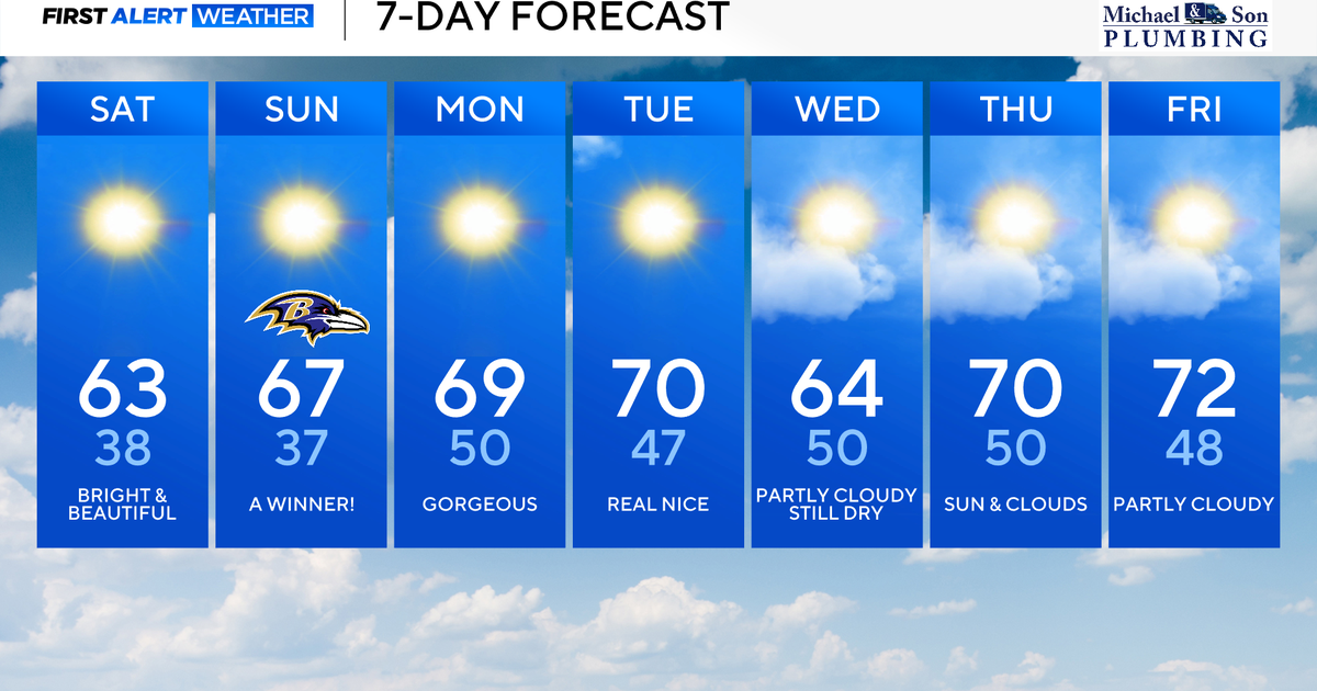 Perfect Fall weather across Maryland this weekend
October 24, 2026 / 9:12 AM EDT / CBS Baltimore The first full dry weekend of October will bring plenty of sunshine and comfortable daytime temperatures in the 60's through the weekend. After frosty mornings through the…
Air quality
Acceptable. Unusually sensitive people should consider limiting prolonged outdoor exertion.
Forecast
- SatModerate (65)
- SunModerate (75)
- MonModerate (70)
Mon Valley Area, PA reporting area · 2 hrs ago. Data from AirNow (EPA and its state, local and tribal partners); preliminary and subject to change.
Sun & moon
Nearby
- Pittsburgh 20 km
- Mount Lebanon 9 km
- Bethel Park 7 km
- Monroeville 30 km
- Cranberry Township 45 km
- Wheeling 59 km
- Plum 38 km
- Allison Park 33 km
- Murrysville 37 km
- West Mifflin 21 km
- Baldwin 11 km
- McKeesport 20 km
Forecasters' discussion
From the National Weather Service office in PBZ, issued 6 hrs ago
What Has Changed
Overall forecast and message remains unchanged.
Key Messages
1) Above normal temperature with dry weather highly likely until at least late next week.
Discussion
KEY MESSAGE 1... Ensemble guidance remains in strong agreement that persistent upper ridging and surface high pressure will dominate the region through most of next week (if not longer). This will guarantee dry, sunny, and warm conditions. Precipitation chances remain below 10% through Thursday morning before cloud cover gradually increases ahead of an approaching trough.
Uncertainty in ridge placement and trough movement grows by late next week with increasing rain chances into the weekend. However, 24-hour probabilities generally never exceed 50% during this timeframe, suggesting rain likely confined to one period (rather than multiple rounds) with models uncertain which of Friday/Saturday/Sunday sees the best chance.
Aviation
High confidence VFR continues through much of next week. Light E/SE winds are expected through Sunday. River valley fog may impact isolated sites (FKL/HLG) with IFR to LIFR visibility through 13Z this morning before diurnal mixing after sunrise.
Outlook... Outside of any morning river valley fog, VFR is highly likely through Thursday under high pressure.
Forecasts, observations and alerts in the United States come from the National Weather Service (NOAA); radar from NOAA's Multi-Radar Multi-Sensor system; satellite imagery from NASA's Global Imagery Browse Services (GIBS) and NOAA's GOES satellites; the map from the U.S. Geological Survey's National Map; air quality from AirNow (EPA and its partners); hurricane information from the National Hurricane Center; climate normals and records from NOAA's Regional Climate Centers (ACIS). Forecasts outside the United States and the UV index: MET Norway (CC BY 4.0); observations outside the U.S.: airport reports via NOAA's Aviation Weather Center. Place names: GeoNames (CC BY 4.0). Data are copied on a schedule and may lag the sources; for warnings that affect your safety, follow your local National Weather Service office and emergency officials. Weather news is drawn from the 4Search index and reflects what the press published. Terms of use.