Install
Elim, PA Weather
Current conditions
Observed at Johnstown - Cambria County Airport · 48 min ago
Forecast
10-day-
Today
Sunny, with a high near 60. East wind around 3 mph.
-
Tonight
Areas of frost after 2am. Clear, with a low around 33. Southeast wind around 2 mph.
-
Saturday
Areas of frost before 9am. Sunny, with a high near 60. South wind around 5 mph.
National Weather Service forecast updated 6 hrs ago.
Hourly
Hourly forecast- Now59°
- 5 PM58°
- 6 PM55°
- 7 PM51°
- 8 PM48°
- 9 PM43°
- 10 PM40°
- 11 PM39°
- Sat12 AM38°
- 1 AM37°
- 2 AM36°
- 3 AM36°
- 4 AM35°
- 5 AM34°
- 6 AM34°
- 7 AM33°
- 8 AM33°
- 9 AM37°
- 10 AM44°
- 11 AM51°
- 12 PM55°
- 1 PM58°
- 2 PM60°
- 3 PM60°
Daily forecast
Details- TodayOct 23Sunny33°60°
- SatOct 24Areas Of Frost then Sunny31°60°
- SunOct 25Widespread Frost then Sunny34°65°
- MonOct 26Sunny40°66°
- TueOct 27Mostly Sunny39°63°
- WedOct 28Partly Sunny40°62°
- ThuOct 29Mostly Sunny42°66°
- FriOct 30Cloudy40°65°
- SatOct 31Partly cloudy37°61°
Days after the National Weather Service's seven are MET Norway's outlook, a computer model with no forecaster's review.
Radar
Full mapWeather news in Pennsylvania
More weather news-
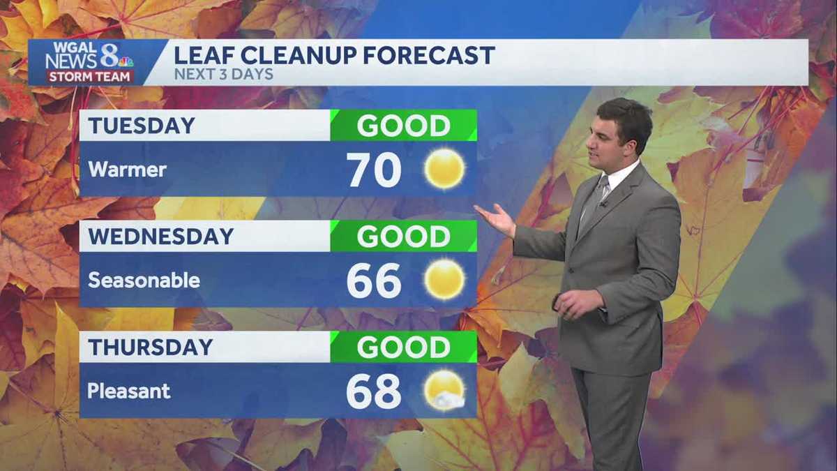 Seasonable sunshine and temperatures continue throughout the week in south central Pennsylvania
At or above average temperatures and 10 days of dry weather ahead. Tuesday looks to be the warmest day of the workweek. Expect bright blue skies and highs climbing to around 70 degrees. From Wednesday through Friday…
-
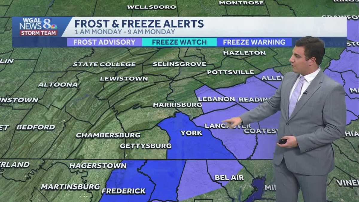 Impact: Frost & freeze alerts issued for some on Sunday night; sunny stretch next week in south central Pennsylvania
Another chilly and frosty night across south central Pennsylvania with lows dropping into the 30s. The National Weather Service has issued freeze warnings and frost advisories for parts of the Susquehanna Valley where…
-
 Freeze Watch Upgraded to Warning for Almost All of Pennsylvania as Conditions Worsen
Freeze Warnings are now in effect for most of Pennsylvania from 1 a.m. to 9 a.m. EDT Sunday, with lows between 25 and 30 degrees expected in central Pennsylvania. The earlier Freeze Watches have been upgraded to…
-
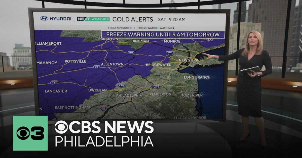 Freeze warning in Pennsylvania after wet Saturday | NEXT Weather
CBS News Freeze warning in Pennsylvania after wet Saturday | NEXT Weather Philadelphia region sees more than 20-degree drop in temperatures Saturday Camden Catholic beats Kipp Cooper Norcross and more in Week 6 of…
-
 Pennsylvania weather: Cold, cloudy, breezy in upper 40s
Alert!: Freeze watch Saturday night through Sunday morning (WBRE/WYOU) — Skies will clear and winds will diminish Saturday night with high pressure moving overhead. The clear sky and light winds will allow for cooling…
-
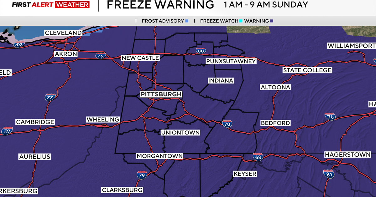 Freeze Warning issued for all of western Pennsylvania as overnight temperatures will drop
October 17, 2026 / 6:59 AM EDT / CBS Pittsburgh There are a few showers this morning, but clouds will quickly clear out this afternoon with sunshine and highs well below normal at 50 degrees. Overnight, we are going…
Air quality
Air quality is satisfactory, and air pollution poses little or no risk.
Forecast
- FriGood (40)
- SatGood (35)
- SunGood (40)
Johnstown, PA reporting area · 1 hr ago. Data from AirNow (EPA and its state, local and tribal partners); preliminary and subject to change.
Sun & moon
Almanac
MonthlyEbensburg Sewage Plant, records since 1964. Normals 1991–2020. Data from NOAA's Regional Climate Centers (ACIS).
Nearby
- Altoona 52 km
- Johnstown 4 km
- Greensburg 51 km
- Indiana 40 km
- Jeannette 57 km
- Latrobe 37 km
- Somerset 34 km
- Hollidaysburg 49 km
- Westmont 2 km
- Mount Pleasant 53 km
- Scottdale 59 km
- Windber 11 km
Forecasters' discussion
From the National Weather Service office in CTP, issued 1 hr ago
What Has Changed
* Freeze Warning issued for Lancaster and Lebanon Counties. * Downward adjustments to dewpoints next three days.
Key Messages
1) Dry forecast holds for the next 5-6 days
Discussion
KEY MESSAGE 1: Dry forecast holds for next 5-6 days
Freeze seems likely enough to post yet another freeze warning for the two counties not yet out of the growing season. While the urban places may stay above freezing, the light wind and few clouds will help the rural areas to get down to 32F. Guidance does keep the values up more 32-34F for most places, but the wind should be gone, and they just need an hour to drop enough to warrant the freeze warning for >50% of each county.
The high pressure making the light/nil wind and mainly clear sky possible will silently hold onto the region for many more days. A front, starved of moisture, will approach from the Upper Great Lakes Mon night-Tues, but PoPs are hardly worth having as PWATs stay very low before the arrival of the baroclinic zone. A new airmass, just as dry as this one then moves in from the NW and continues the dry forecast. Per almost every model/member/wooly worm I could find, the next chance for rain comes on/near Halloween.
Aviation
VFR conditions prevail across much of central Pennsylvania this afternoon as a high pressure settles over the Northeastern US. Lingering SCT-BKN stratocumulus over the Laurels will continue to lift and clear out through this afternoon, with VFR high clouds streaming overhead later this afternoon and through the overnight hours. Wind gusts of 15-20 kts will remain possible across the southeast today in N to NE flow, with lighter winds towards the northwest, closer to the center of the high.
Outside of patchy overnight valley fog in the north (KBFD), there are very low probabilities of reductions to flight categories through the remainder of the current TAF period.
Sun-Wed...VFR prevailing conditions.
Forecasts, observations and alerts in the United States come from the National Weather Service (NOAA); radar from NOAA's Multi-Radar Multi-Sensor system; satellite imagery from NASA's Global Imagery Browse Services (GIBS) and NOAA's GOES satellites; the map from the U.S. Geological Survey's National Map; air quality from AirNow (EPA and its partners); hurricane information from the National Hurricane Center; climate normals and records from NOAA's Regional Climate Centers (ACIS). Forecasts outside the United States and the UV index: MET Norway (CC BY 4.0); observations outside the U.S.: airport reports via NOAA's Aviation Weather Center. Place names: GeoNames (CC BY 4.0). Data are copied on a schedule and may lag the sources; for warnings that affect your safety, follow your local National Weather Service office and emergency officials. Weather news is drawn from the 4Search index and reflects what the press published. Terms of use.