Install
Seminole, OK Weather
Current conditions
Forecast for this hour (no station report in the last two hours)
Forecast
10-day-
Friday Night
Partly cloudy, with a low around 56. South southeast wind around 5 mph.
-
Saturday
Mostly sunny, with a high near 82. South southeast wind around 7 mph.
-
Saturday Night
Mostly cloudy, with a low around 57. South southeast wind around 5 mph.
National Weather Service forecast updated 1 day ago.
Hourly
Hourly forecast- Now59°
- 5 AM58°
- 6 AM57°
- 7 AM56°
- 8 AM56°
- 9 AM60°
- 10 AM66°
- 11 AM71°
- 12 PM75°
- 1 PM79°
- 2 PM81°
- 3 PM82°
- 4 PM82°
- 5 PM80°
- 6 PM77°
- 7 PM74°
- 8 PM71°
- 9 PM68°
- 10 PM65°
- 11 PM64°
- Sun12 AM63°
- 1 AM62°
- 2 AM61°
- 3 AM60°
10-day forecast
Details- TonightOct 22Mostly Clear56°
- FriOct 23Mostly Sunny56°81°
- TodayOct 24Mostly Sunny57°82°
- SunOct 25Partly Sunny56°80°
- MonOct 26Partly Sunny13%56°78°
- TueOct 27Slight Chance Rain Showers18%54°73°
- WedOct 28Mostly Sunny15%55°75°
- ThuOct 29Slight Chance Rain Showers then Mostly Sunny15%75°
- FriOct 30Heavy rain0.41 in56°69°
- SatOct 31Heavy rain0.63 in57°66°
Days after the National Weather Service's seven are MET Norway's outlook, a computer model with no forecaster's review.
Radar
Full mapWeather news near Seminole
More weather news-
 Low Humidity, High Winds, Major Sunshine
SARASOTA, Fla. (WWSB) - Saturday’s rain was mixed on the Suncoast. SRQ received a half inch (0.51) Our total for the month is 9.74”. Other areas received a quarter inch (0.22”) at Lakewood Ranch and Venice Airport…
-
 Fall weather is finally here, and it looks to stay!
WALB.com SUNDAY: Temperatures will warm up, but not by much. Sunny skies with a breeze keep temperatures mainly in the 60s, occasionally peaking around 70°. This will be the coolest afternoon since May 9th. MONDAY…
-
 Will the Florida State-Miami Game be Delayed Saturday? Latest Weather, Kickoff
Will the Florida State-Miami football game be delayed by thunderstorms or lightning? The Seminoles and Hurricanes are scheduled to meet Saturday, October 17, at Hard Rock Stadium in Miami Gardens, Florida, but a…
-
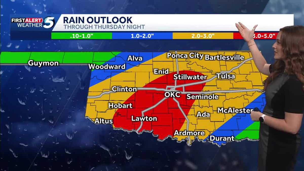 FORECAST: More rain and flooding risk for the rest of Thursday in Oklahoma
Oklahoma has already seen heavy rain and flooding, and we're not done just yet heading into the back half of Thursday. A flood watch remains in effect until 7 p.m. Thursday due to the expected rain. KOCO 5 Meteorologist…
-
 Cold Front Alert: A weekend cold front will bring cool and breezy conditions to Central Florida.
WKMG Cold Front Alert: A weekend cold front will bring cool and breezy conditions to Central Florida. Ex-US Sen. Mel Martinez, a Republican, endorses Democrat Bale Dalton in House District 7 race MICHELLE PARKER CASE…
-
 Severe Weather Is Possible Through Friday
KOKH Fox 25 provides, news, sports, weather and local event coverage in Oklahoma City and surrounding areas, including McLoud, Shawnee, Tecumseh, Seminole, Wewoka, Maud, Asher, Wanetted, Goldsby, Norman, Blanchard…
-
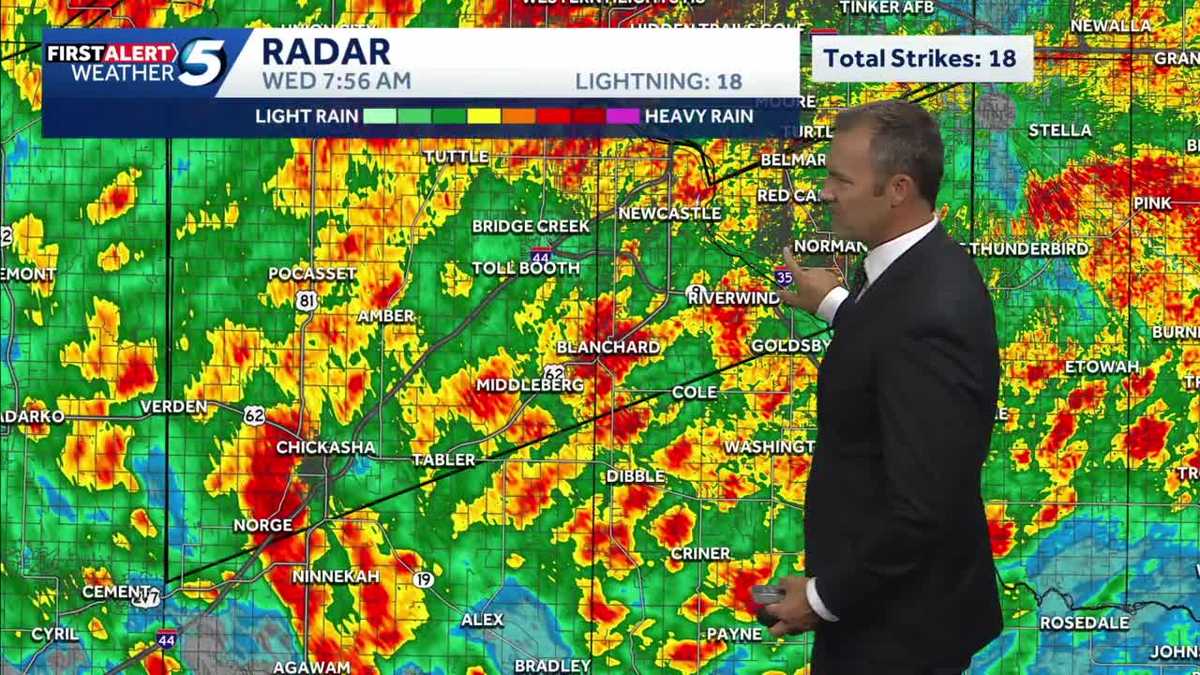 UPDATES: Storms continue into morning commute, bringing flooding risk to Oklahoma
It's another alert day in Oklahoma, as people are waking up in the OKC metro and statewide to heavy rainfall, storms, and a flash flooding risk. The heavy rain has caused dangerous road conditions as Oklahomans start…
- Forecasters warn of big change in Miami weather. ‘Nice while it lasted.’
Don’t get too used to sunny skies and lower humidity. The weather is changing in South Florida. Expect the relief to continue most of Wednesday, but rain chances will increase through the week and weekend, according to…
-
 Drought Improves for Much of Oklahoma
TULSA, Okla. — Since mid-summer, Oklahoma has quickly fallen into drought. The Drought Monitor, released each Thursday by the scientists with the University of Nebraska at Lincoln, shows improvement for much of the…
-
 Orionid meteor shower peaks over Oklahoma Wednesday night into Thursday morning
Oklahomans can expect a celestial event Wednesday night with the Orionid meteor shower peaking overnight into Thursday morning. KOCO 5 Meteorologist Mikayla Smith talks about when the best time to view the meteors will…
Air quality
Acceptable. Unusually sensitive people should consider limiting prolonged outdoor exertion.
Forecast
- SatModerate (100)
- SunModerate (70)
- MonModerate (70)
Oklahoma City, OK reporting area · 1 hr ago. Data from AirNow (EPA and its state, local and tribal partners); preliminary and subject to change.
Sun & moon
Nearby
Forecasters' discussion
From the National Weather Service office in OUN, issued 10 hrs ago
Key Messages
Updated at 539 PM CDT Fri Oct 23 2026
- Above normal temperatures and dry conditions through the weekend.
- Higher rain chances return to western areas early next week
- Rain chances increase again towards the end of next week.
Near Term
(Rest of today and tonight) Issued at 104 PM CDT Fri Oct 23 2026
Long wave ridging continues across Oklahoma and Texas today, with a pronounced long wave trough through California and the desert southwest. The daily weather pattern in the inter mountain west looks quite similar to a typical Oklahoma day in April. This feature has helped bring severe thunderstorms and heavy rainfall well to the west of our forecast area.
For us, only some high cirrus clouds riding the ridge, leaving most of us with dirty sunshine and warm temperatures. Surface features include a lee trough which stretches from a surface low in Montana all the way to eastern New Mexico. This surface trough relaxes a bit in the south plains, keeping our winds southerly and relatively light.
Without the high cloud cover, our temperatures may have made a run to be even higher than what the latest observations are showing. Even with the high clouds, most surface observations are showing temperatures in the mid 70s, shooting for highs in the lower 80s. Tonight, lows will only drop into the upper 50s, with some areas limited to near 60 in proximity to the high cloud cover.
Fox
Short Term
(Saturday through Sunday night) Issued at 104 PM CDT Fri Oct 23 2026
Through Sunday, temperatures will remain above normal for most of the area, and well above normal in our Texas Counties. The normal highs for this time of year are in the lower 70s, so temperatures near 80 degrees are nearly 10 degrees above normal.
Short range numerical modeling is in surprising agreement in the (lack of) movement of the long wave trough. Convective allowing models and synoptic scale models agree that the trough will make incremental eastward progress through Saturday, keeping rain and thunderstorm chances quite low (< 10%) in western Oklahoma. Heavy rainfall will be possible in the Texas panhandle, but all we should see is an increase in high cloud cover, and slightly "lower" temperatures...which will still be above normal.
Late Sunday, thunderstorm chances creep upward in far western Oklahoma, topping out around 40-60% in areas west of US 81 and north of I-40. After midnight on Sunday / early Monday morning, rain and thunderstorm chances remain low (30-50%), but very slowly creep eastward to near the I-35 corridor.
Fox
Long Term
(Monday through next Thursday) Issued at 104 PM CDT Fri Oct 23 2026
While the trough and rain chances move east, this should be a nice pattern. However, once the trough gets near central Oklahoma, the long fetch of subtropical moisture disappear faster than kids being told to clean up. More scientifically, the moisture plume evident on water vapor imagery today...finally dries up. While we may still see scattered rainfall or thunderstorms Monday or Tuesday, the chances decrease to 10-30% as the main trough approaches overhead. Latest ensemble blends put the rainfall amounts in our forecast area between 0 and about 1/2 inch. Rainfall would be more welcome, most of us won't see much more than a few showers.
Later in the week, the range of possibilities widens further. Long range forecasting is hard enough, but check out these ranges for OKC:
Thursday morning ensemble forecast guidance Low temp: between 48 and 61 F High temp: between 66 and 76 F PoP: between 1% and 46% Precip: between 0.00 and 0.89"
and that is just Thursday morning. The same wide ranges will continue into the Halloween weekend, although it is just out of this official forecast period. However, there is a potential for another heavy rain event just after this forecast range.
But...what is known now is there is strong (more than 60% of members) are showing increasing rain chances beginning on Thursday, as another upper level trough approaches, along with another fetch of subtropical jet. While the timing is uncertain, with the evidence in the wide range of ensemble data, it does appear that a pattern change to a wet pattern is likely by the end of next weekend. However, it is too early to make final decisions based on all of this, especially with the uncertainty of timing.
Forecasts, observations and alerts in the United States come from the National Weather Service (NOAA); radar from NOAA's Multi-Radar Multi-Sensor system; satellite imagery from NASA's Global Imagery Browse Services (GIBS) and NOAA's GOES satellites; the map from the U.S. Geological Survey's National Map; air quality from AirNow (EPA and its partners); hurricane information from the National Hurricane Center; climate normals and records from NOAA's Regional Climate Centers (ACIS). Forecasts outside the United States and the UV index: MET Norway (CC BY 4.0); observations outside the U.S.: airport reports via NOAA's Aviation Weather Center. Place names: GeoNames (CC BY 4.0). Data are copied on a schedule and may lag the sources; for warnings that affect your safety, follow your local National Weather Service office and emergency officials. Weather news is drawn from the 4Search index and reflects what the press published. Terms of use.