Install
Oakhurst, OK Weather
Current conditions
Observed at William R Pogue Municipal Airport · 1 hr ago
Forecast
10-day-
Thursday Night
Mostly clear, with a low around 54. Southeast wind 0 to 5 mph.
-
Friday
Mostly sunny, with a high near 79. South wind 5 to 10 mph.
-
Friday Night
Partly cloudy, with a low around 55. Southeast wind around 5 mph.
National Weather Service forecast updated 1 day ago.
Hourly
Hourly forecast- Now72°
- 8 PM66°
- 9 PM64°
- 10 PM62°
- 11 PM61°
- Fri12 AM60°
- 1 AM59°
- 2 AM57°
- 3 AM56°
- 4 AM56°
- 5 AM55°
- 6 AM54°
- 7 AM54°
- 8 AM54°
- 9 AM58°
- 10 AM64°
- 11 AM69°
- 12 PM73°
- 1 PM76°
- 2 PM78°
- 3 PM79°
- 4 PM79°
- 5 PM78°
- 6 PM75°
10-day forecast
Details- WedOct 21Chance Rain Showers10%54°77°
- TodayOct 22Sunny54°79°
- FriOct 23Mostly Sunny55°79°
- SatOct 24Partly Sunny55°79°
- SunOct 25Partly Sunny54°77°
- MonOct 26Partly Sunny11%53°74°
- TueOct 27Partly Sunny12%52°70°
- WedOct 28Sunny56°80°
- ThuOct 29Rain0.28 in51°70°
- FriOct 30Partly cloudy45°64°
Days after the National Weather Service's seven are MET Norway's outlook, a computer model with no forecaster's review.
Radar
Full mapWeather news near Oakhurst
More weather news-
 Cool Nights and Mild Days All Week
TULSA, OKLA. — Partly cloudy and cool tonight and into Tuesday morning. Temperatures will not be as cool as previous nights, but will still drop to near our average low of 50°. Partly cloudy skies are expected Tuesday…
-
 First frost possible for some Saturday ahead of major cool down
A potent low-pressure system moved across the US overnight Thursday into Friday. The high temperature in Tulsa was 61 degrees at midnight. By sunrise, temperatures were in the 40s across most of Green Country…
- Freezing temperatures this weekend could cause car trouble
(WKYT) – Temperatures this weekend may drop below freezing overnight in some areas, and a local mechanic says drivers should prepare their vehicles along with themselves. When temperatures drop, it can cause issues for…
-
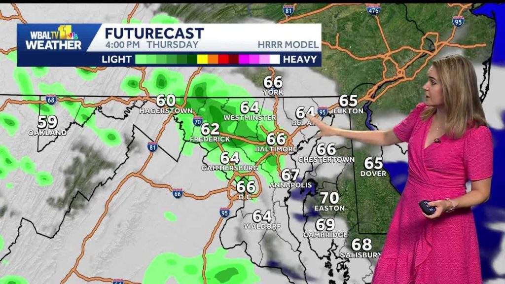 Weather: Cooler with showers on Thursday around Baltimore
WBAL News Radio Weather: Cooler with showers on Thursday around Baltimore Get a recap of Baltimore’s biggest headlines from WBAL NewsRadio – sent straight to your email inbox. Baltimore County police recover loaded…
-
 Out the door forecast - October 14, 2026
KOLD Out the door forecast - October 14, 2026 Jefferson County Sheriff’s Office conducts active shooter training Local Danish bakery feels impacts of war in Ukraine Tulsa Race Massacre leads to conversation about…
- Daily high-temperature records broken or tied on October 13 across parts of the central U.S.
Five daily high-temperature records were broken and one was tied at six sites across Kansas, Oklahoma, Missouri and Illinois on October 13, 2026. Temperatures at the sites reached 32.8–33.9°C (91–93°F), or 9.4–13.3°C…
-
 Record Heat Continues Tuesday
TULSA, OKLA — Another unusually warm day is expected with afternoon highs reaching record to near record levels in the upper 80s to mid-90s. Partly to mostly sunny skies and breezy south winds will continue through the…
-
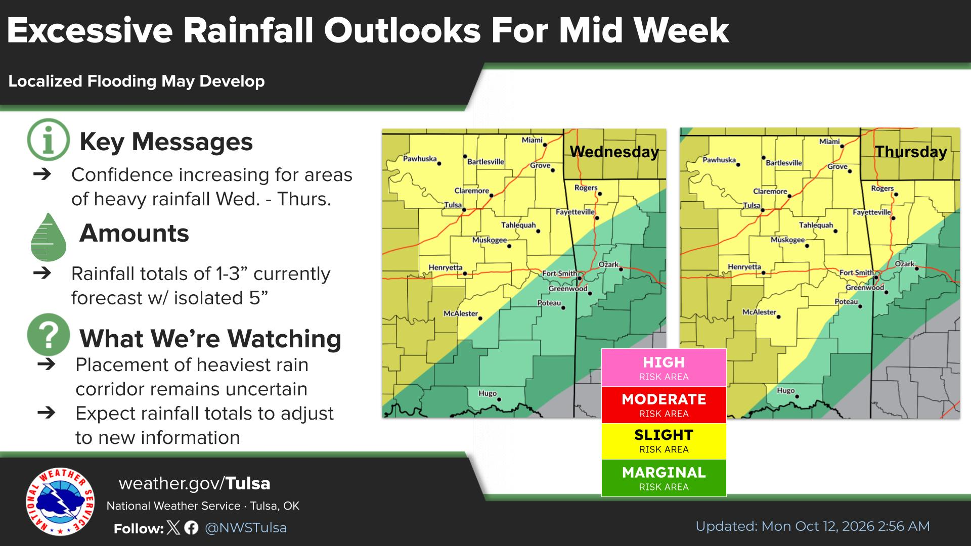 FORECAST: Hot today, rain tomorrow & cool temps this weekend
After one more day over 90 degrees, the Tulsa area will see a big change in the weather for the rest of the week. Rain moves in Wednesday and brings with it a slight chance of severe weather. The National Weather…
-
 Drought Improves for Much of Oklahoma
TULSA, Okla. — Since mid-summer, Oklahoma has quickly fallen into drought. The Drought Monitor, released each Thursday by the scientists with the University of Nebraska at Lincoln, shows improvement for much of the…
-
 Orionid meteor shower peaks over Oklahoma Wednesday night into Thursday morning
Oklahomans can expect a celestial event Wednesday night with the Orionid meteor shower peaking overnight into Thursday morning. KOCO 5 Meteorologist Mikayla Smith talks about when the best time to view the meteors will…
Air quality
Acceptable. Unusually sensitive people should consider limiting prolonged outdoor exertion.
Forecast
- ThuModerate (70)
- FriModerate (70)
- SatModerate (70)
Tulsa, OK reporting area · 1 hr ago. Data from AirNow (EPA and its state, local and tribal partners); preliminary and subject to change.
Sun & moon
Almanac
MonthlyTulsa Area, records since 1905. Normals 1991–2020. Data from NOAA's Regional Climate Centers (ACIS).
Nearby
Forecasters' discussion
From the National Weather Service office in TSA, issued 2 hrs ago
Key Messages
Updated at 552 PM CDT Thu Oct 22 2026
- Above average highs and dry weather will continue through this weekend.
- Locally enhanced grassland fire spread rates possible northwest of I-44 Friday afternoon.
- Low rain chances return during the first half of next week along with temperatures closer to normal.
Short Term
(Through tonight) Issued at 1134 AM CDT Thu Oct 22 2026
Upper level ridging will continue to strengthen over the region today, providing dry and warm conditions. Mostly clear skies will persist today, though high clouds will tend to increase overnight. Temperatures will likely top out in the upper 70s-lower 80s this afternoon, and fall into the lower 50s or upper 40s tonight. Winds remain light out of the south/southeast.
Long Term
(Tomorrow through Thursday) Issued at 1134 AM CDT Thu Oct 22 2026
High pressure will continue to dominate the forecast with low impact weather likely to persist through this weekend. The only exception may be across NE OK on Friday, where limited fire weather conditions could develop during the afternoon. Winds will be higher Friday, especially along and NW of I-44, and with min RHs in the 25 to 35 percent range, locally enhanced grassland fire spread rates are forecast. Temperatures will remain well above average for the next several days with highs near or above 80 degrees.
By late Sunday, a potent upper low will begin to navigate E-NE out of the desert southwest, eventually moving into the C Plains Monday. This system will interact with a frontal boundary and produce increasing precipitation to our north and west. Some of this may move into at least parts of E OK Monday and Tuesday, but PoPs generally remain less than 20 percent at this time. Models diverge beyond this point and disagree on how to handle the aforementioned frontal boundary. Some solutions indicate the front will push south into the forecast area and help to clear things out, while other solutions keep the boundary to our north. The latest NBM seems to favor the former and brings cooler temperatures into the area Tuesday. Despite higher variability early in the week, guidance does appear to be in reasonable agreement that a strong trough will swing through the C/N Plains Wed-Thu. This would likely send a stronger front into our area with additional rain potential and another chance for cooler temperatures.
Aviation
(00Z TAFS) Issued at 552 PM CDT Thu Oct 22 2026
VFR conditions will continue through the forecast period.
Forecasts, observations and alerts in the United States come from the National Weather Service (NOAA); radar from NOAA's Multi-Radar Multi-Sensor system; satellite imagery from NASA's Global Imagery Browse Services (GIBS) and NOAA's GOES satellites; the map from the U.S. Geological Survey's National Map; air quality from AirNow (EPA and its partners); hurricane information from the National Hurricane Center; climate normals and records from NOAA's Regional Climate Centers (ACIS). Forecasts outside the United States and the UV index: MET Norway (CC BY 4.0); observations outside the U.S.: airport reports via NOAA's Aviation Weather Center. Place names: GeoNames (CC BY 4.0). Data are copied on a schedule and may lag the sources; for warnings that affect your safety, follow your local National Weather Service office and emergency officials. Weather news is drawn from the 4Search index and reflects what the press published. Terms of use.