Install
Guymon, OK Weather
Current conditions
Observed at Guymon / Guymon Municipal Airport · 40 min ago
Forecast
10-day-
Wednesday
Sunny, with a high near 79. North northwest wind 5 to 10 mph.
-
Wednesday Night
Mostly clear, with a low around 49. East southeast wind 0 to 5 mph.
-
Thursday
Mostly sunny, with a high near 83. South southwest wind 0 to 15 mph, with gusts as high as 25 mph.
National Weather Service forecast updated 2 hrs ago.
Hourly
Hourly forecast- Now55°
- 7 AM52°
- 8 AM52°
- 9 AM54°
- 10 AM61°
- 11 AM67°
- 12 PM71°
- 1 PM76°
- 2 PM77°
- 3 PM79°
- 4 PM79°
- 5 PM78°
- 6 PM77°
- 7 PM73°
- 8 PM65°
- 9 PM62°
- 10 PM59°
- 11 PM57°
- Thu12 AM56°
- 1 AM55°
- 2 AM54°
- 3 AM53°
- 4 AM53°
- 5 AM52°
10-day forecast
Details- TonightOct 20Clear52°
- TodayOct 21Sunny49°79°
- ThuOct 22Mostly Sunny54°83°
- FriOct 23Partly Sunny25%53°77°
- SatOct 24Rain Showers Likely68%47°68°
- SunOct 25Showers And Thunderstorms78%42°59°
- MonOct 26Showers And Thunderstorms Likely70%40°60°
- TueOct 27Slight Chance Rain Showers then Partly Sunny16%59°
- WedOct 28Sunny33°56°
- ThuOct 29Sunny38°68°
Days after the National Weather Service's seven are MET Norway's outlook, a computer model with no forecaster's review.
Radar
Full mapWeather news near Guymon
More weather news-
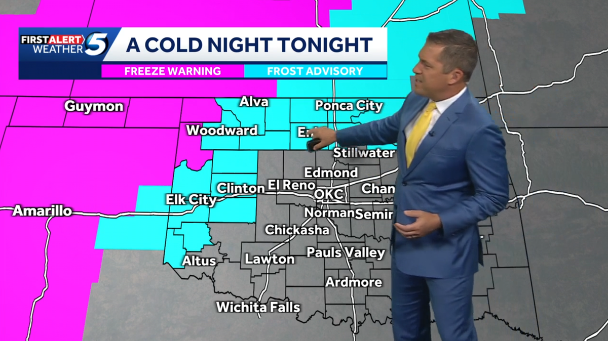 WEEKEND FORECAST: Colder temperatures across Oklahoma with frost advisory, freeze warnings issued
Northwestern Oklahoma is under frost advisories and freeze warnings Friday night, with temperatures potentially dropping to 32 degrees in some areas. A cold night is forecast across Oklahoma, with frost advisories and…
-
 Massive cold front triggers Texas freeze watch-which counties are at risk?
A cold front is barreling toward Texas, and some counties are under a freeze watch, with temperatures expected to dip below freezing. The National Weather Service has issued a freeze watch for counties most likely to…
-
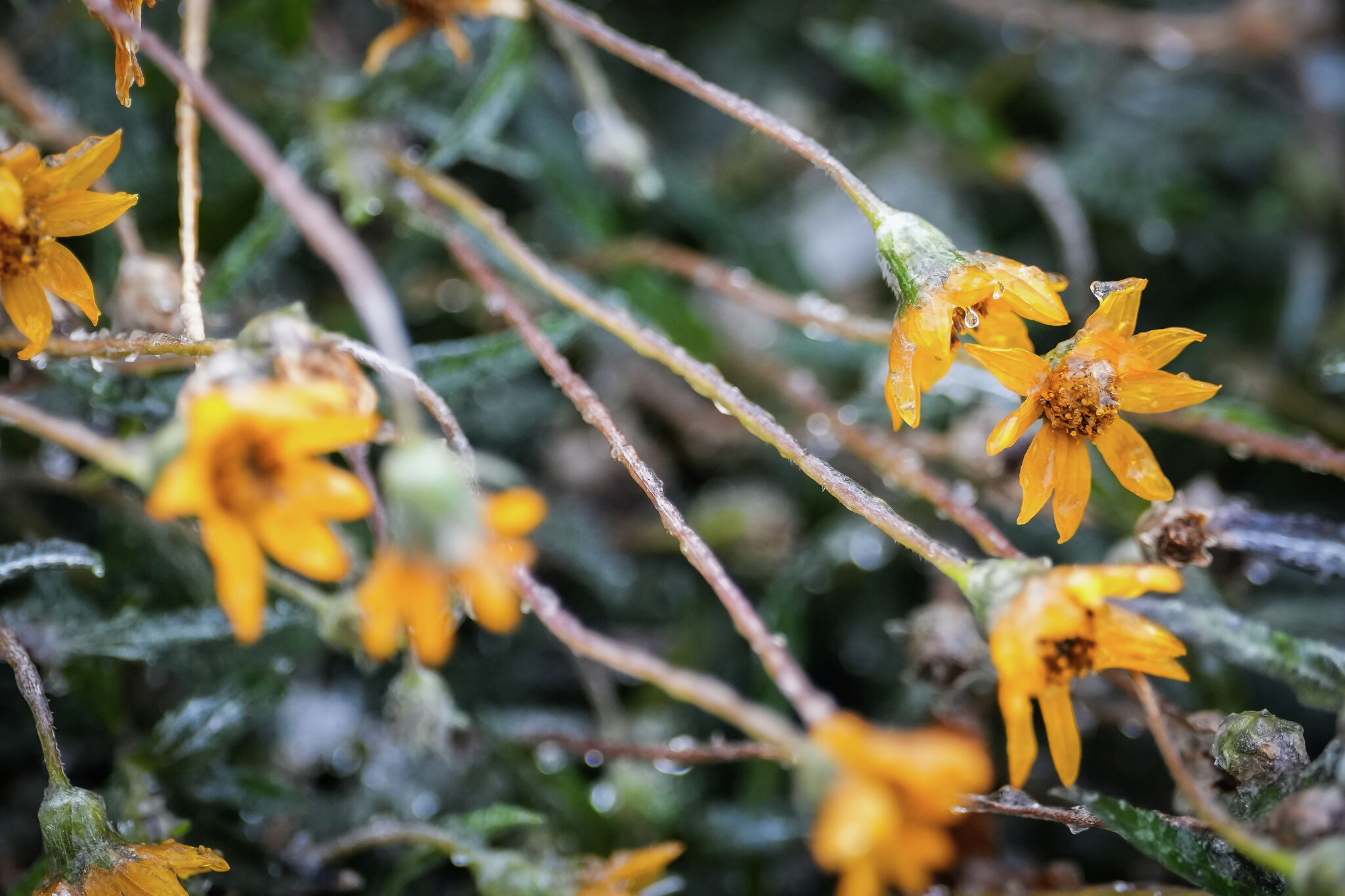 Freeze Watch issued for parts of Texas. Are you in its path?
Flowers are covered in ice as intense cold settles into the Austin area, Jan. 25, 2026. Parts of the state are under a Freeze Watch this weekend as a cold front sweeps through Texas. A cold front is barreling toward…
- Oklahoma's holiday weather forecast: What to expect Halloween to Christmas
Oklahomans are soon entering the holiday season, and temperatures have already started to drop. If you need to plan your Halloween costume based on the weather, or figure out how to best prepare for Thanksgiving…
-
 Temperate, wet winter expected for Northwest Oklahoma
People fish at Meadowlake Park on a warm autumn day on Monday, Oct. 19, 2026. ENID, Okla. — Summer has been over for about a month now, and what a summer it was. There were several series of 100-degree temperatures, and…
-
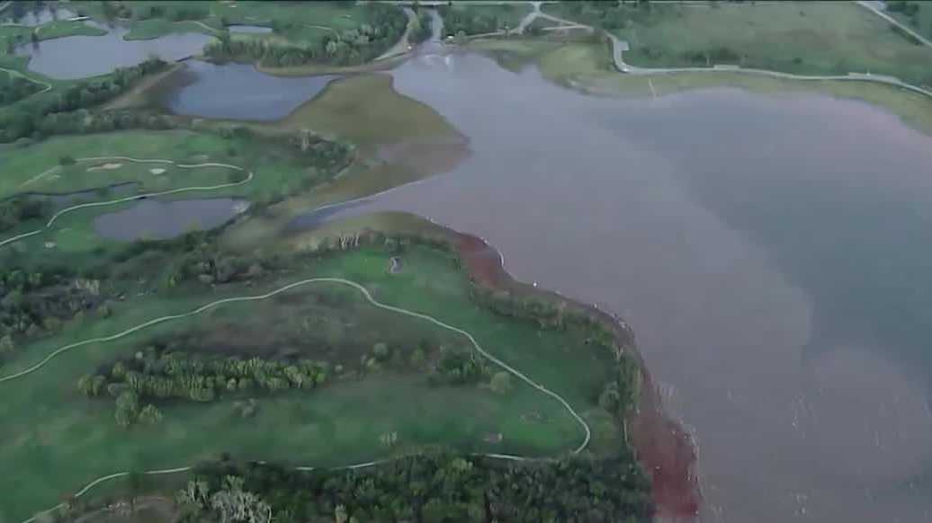 Heavy rain boosts Oklahoma lake levels but drought concerns remain
Recent rainfall in Oklahoma has improved lake levels and farm ponds, but the state remains in a significant drought and needs more rain for full recovery. Nearly a foot of rain in parts of Oklahoma last week brought…
-
 Oklahoma’s Winter Outlook Is In, And The Almanacs Disagree
We've been hearing about the upcoming winter for months now, with early predictions of a potentially brutal season sending meteorologists down the rabbit hole of what El Niño could mean for Oklahoma. The Farmers'…
-
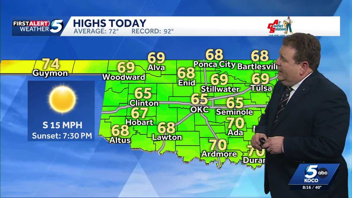 TIMELINE: Cool temperatures across Oklahoma before slight warmup
Oklahoma started Sunday with chilly temperatures in the 30s and 40s, but sunny skies and a light south wind are expected to bring highs of 65 degrees. Oklahoma residents experienced a cold start to Sunday, with…
-
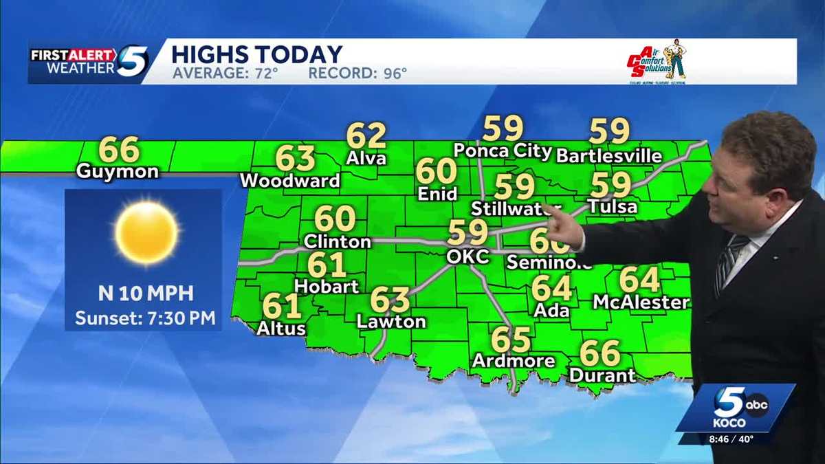 FORECAST: Cold start to weekend in Oklahoma
KOCO 5 Meteorologist Steve Carano shows you the cold start and the high temperatures Oklahoma will see on Saturday. >> Go to the KOCO weather page | Get KOCO on the Go | Subscribe to KOCO 5's YouTube channel | Sign up…
-
 Clearing skies this evening; patchy frost for parts of SW Oklahoma Saturday morning | 10/16 PM
KSWO 7News Clearing skies this evening; patchy frost for parts of SW Oklahoma Saturday morning | 10/16 PM A windy and cool Friday with below average temperatures | 10/16 AM More showers and storms possible ahead of a…
Sun & moon
Almanac
MonthlyGuymon Municipal Ap, records since 1998. Normals 1991–2020. Data from NOAA's Regional Climate Centers (ACIS).
Nearby
Forecasters' discussion
From the National Weather Service office in AMA, issued 5 hrs ago
Key Messages
Issued at 1153 PM CDT Tue Oct 20 2026
- Above average temperatures expected today and tomorrow.
- Watching for a potential system to bring rain, potentially some heavy rain, to the combined Panhandles this coming weekend. Along with cooler temperatures.
Short Term
(Tonight through Thursday night) Issued at 1153 PM CDT Tue Oct 20 2026
Upper level ridging is expected to build aloft today and tomorrow. Leading to afternoon highs well above average in the upper 70s to lower 80s. For today, surface winds are expected to drop off and become relatively light, less than 10 mph, under a weak surface low. This feature may cause some variability in the wind directions as well. Tomorrow, however, the surface pressure gradient will reorganize to give breezy and gusty southerly winds as the next upper level system sets up over the west coast.
Long Term
(Friday through next Tuesday) Issued at 1153 PM CDT Tue Oct 20 2026
Going into Friday, the combined Panhandles are progged to fall under southwest flow aloft with the next upper level trough deepening over the Intermountain West down into the southern tips of CA/NV. The southwest flow is expected to increase the cloud cover limiting daytime highs a few degrees into the mid to upper 70s for Fri. PoPs are expected to start to increase from west to east overnight Fri night as plenty of Pacific moisture gets carried up in the southwest flow. PWATs are expected to begin increasing Fri night to around an inch on Sat, maybe even slightly higher. Models have the system slowing down, and mainly confining PoPs to the central to western combined Panhandles Fri night into Sat, eventually spreading likely PoPs to include the eastern Panhandles Sat night into Sun night. There is a bit of uncertainty to the timing of when the system will enter and exit the combined Panhandles. Which will impact the overall potential for rain amounts. Guidance is pointing to a potential excessive rainfall event at this time. In fact, WPC currently has the central to western parts of the combined Panhandles under a 15% chance for rainfall to exceed flash flood guidance Sat into Sat night. With the eastern Panhandles under a 5% probability within 25 mile of a given point. At this time wide spread severe storms are not anticipated at this time.
Temperatures will be on a downward trend this weekend with widespread lower 60s for an afternoon high Sun into Mon. These temperatures are looking to be kept cool due to the rain and cloud cover, more so than any actual CAA behind a front. Winds are looking to shift behind a front on Monday, however, temperatures are not looking to be much different than Sun ahead of the front.
Aviation
(06Z TAFS) Issued at 1153 PM CDT Tue Oct 20 2026
VFR conditions are expected to prevail with southerly winds slightly above 10 kts decreasing to slightly below 10 kts and potentially gaining a more westerly component.
Forecasts, observations and alerts in the United States come from the National Weather Service (NOAA); radar from NOAA's Multi-Radar Multi-Sensor system; satellite imagery from NASA's Global Imagery Browse Services (GIBS) and NOAA's GOES satellites; the map from the U.S. Geological Survey's National Map; air quality from AirNow (EPA and its partners); hurricane information from the National Hurricane Center; climate normals and records from NOAA's Regional Climate Centers (ACIS). Forecasts outside the United States and the UV index: MET Norway (CC BY 4.0); observations outside the U.S.: airport reports via NOAA's Aviation Weather Center. Place names: GeoNames (CC BY 4.0). Data are copied on a schedule and may lag the sources; for warnings that affect your safety, follow your local National Weather Service office and emergency officials. Weather news is drawn from the 4Search index and reflects what the press published. Terms of use.