Install
Lakewood, OH Weather
Current conditions
Observed at Cleveland Hopkins International Airport · 23 min ago
Forecast
10-day-
Overnight
Mostly clear, with a low around 45. South wind around 1 mph.
-
Tuesday
Sunny. High near 66, with temperatures falling to around 60 in the afternoon. East wind 2 to 12 mph.
-
Tuesday Night
Mostly clear, with a low around 44. East wind 5 to 12 mph.
National Weather Service forecast updated 4 hrs ago.
Hourly
Hourly forecast- Now48°
- 3 AM48°
- 4 AM47°
- 5 AM46°
- 6 AM45°
- 7 AM45°
- 8 AM47°
- 9 AM50°
- 10 AM55°
- 11 AM58°
- 12 PM60°
- 1 PM62°
- 2 PM63°
- 3 PM62°
- 4 PM61°
- 5 PM60°
- 6 PM59°
- 7 PM56°
- 8 PM56°
- 9 PM55°
- 10 PM54°
- 11 PM53°
- Wed12 AM52°
- 1 AM51°
10-day forecast
Details- TonightOct 19Mostly Clear45°
- TodayOct 20Sunny44°66°
- WedOct 21Sunny49°64°
- ThuOct 22Sunny48°66°
- FriOct 23Sunny44°62°
- SatOct 24Sunny47°64°
- SunOct 25Mostly Sunny52°67°
- MonOct 26Mostly Sunny67°
- TueOct 27Heavy rain0.32 in51°60°
- WedOct 28Cloudy49°51°
Days after the National Weather Service's seven are MET Norway's outlook, a computer model with no forecaster's review.
Radar
Full mapWeather news near Lakewood
More weather news-
 Northeast Ohio Weather: Another sun filled day ahead; dry spell continues
Cleveland 19 News CLEVELAND, Ohio (WOIO) - Surface high pressure is centered over eastern Canada today. This will keep Ohio dry. Sunny today. Afternoon temperatures 65 to 70 degrees. Clear tonight. Early morning…
-
 Southwest Florida weather forecast
WINK News Oct. 18, 2026, 6:30 p.m. Currently in Fort Myers Hour by Hour Forecast - Car crashes into Mel's Diner in Bonita Springs - Tampa Bay Rays one win from World Series after beating Cleveland 3-1 - Anthropic…
-
 Northeast Ohio Weather: Extended dry spell starting up
Cleveland 19 News Northeast Ohio Weather: Extended dry spell starting up 19 First Alert Weather Day: Frost, freeze tonight into early Sunday morning Lake effect snow expected Friday; here's what's ahead next week 19…
-
 Northeast Ohio Weather: Extended dry spell just beginning
Cleveland 19 News CLEVELAND, Ohio (WOIO) - High pressure is centered east of Ohio today. Warmer air is building in and that will put us closer to seasonal averages today. Several days of sunshine expected. Chilly nights…
-
 Low Humidity, High Winds, Major Sunshine
SARASOTA, Fla. (WWSB) - Saturday’s rain was mixed on the Suncoast. SRQ received a half inch (0.51) Our total for the month is 9.74”. Other areas received a quarter inch (0.22”) at Lakewood Ranch and Venice Airport…
-
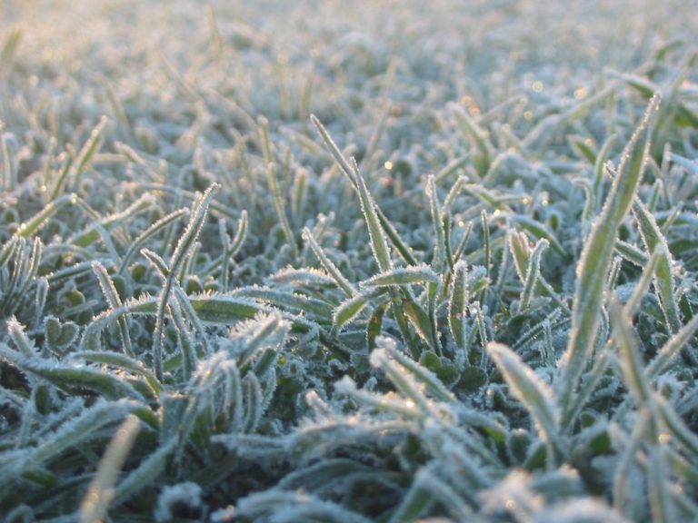 Freeze warning issued for Northern Ohio Sunday Morning
The National Weather Service has issued a freeze warning for Sunday from 1 a.m. to 9 a.m. across northern Ohio and northwest Pennsylvania, with temperatures dropping as low as 30 degrees. CLEVELAND, OH (MARION COUNTY…
-
 19 First Alert Weather Day: Frost, freeze tonight into early Sunday morning
CLEVELAND, Ohio (WOIO) - A clear sky and light wind will allow temperatures to plummet overnight. Low temperatures drop as low as the upper 20s and low 30s away from the lakeshore with widespread frost. Near and along…
-
 Temperatures rebound across the Northeast after a frosty weekend finish
Temperatures will bounce back to historical averages across the Ohio Valley and Northeast as high pressure keeps conditions dry through much of next week. Published Oct 17, 2026 11:48 AM EDT | Updated Oct 17, 2026 3:20…
-
 Freeze Watch Upgraded to Warning for Almost All of Pennsylvania as Conditions Worsen
Freeze Warnings are now in effect for most of Pennsylvania from 1 a.m. to 9 a.m. EDT Sunday, with lows between 25 and 30 degrees expected in central Pennsylvania. The earlier Freeze Watches have been upgraded to…
- Overnight freeze warning issued for Sunday morning in Northeast Ohio
The National Weather Service in Cleveland has issued an overnight freeze warning for much of the region, including Summit, Stark and Portage counties. Subfreezing temperatures as low as 30 degrees are expected between 1…
Air quality
Acceptable. Unusually sensitive people should consider limiting prolonged outdoor exertion.
Forecast
- TueModerate
Cleveland-Akron-Lorain, OH reporting area · 1 hr ago. Data from AirNow (EPA and its state, local and tribal partners); preliminary and subject to change.
Sun & moon
Almanac
MonthlyCleveland Area, records since 1871. Normals 1991–2020. Data from NOAA's Regional Climate Centers (ACIS).
Nearby
- Cleveland 9 km
- Akron 50 km
- Parma 11 km
- Lorain 32 km
- Elyria 29 km
- Cuyahoga Falls 47 km
- Euclid 26 km
- Mentor 43 km
- Cleveland Heights 21 km
- Strongsville 19 km
- Stow 47 km
- Brunswick 27 km
Forecasters' discussion
From the National Weather Service office in CLE, issued 57 min ago
What Has Changed
No significant changes to the previous forecast.
Key Messages
1) Dry and seasonable weather is expected through this weekend.
Discussion
KEY MESSAGE 1... A prolonged period of dry weather is expected through the workweek and even through the weekend as high pressure anchors over the eastern CONUS. Highs will be in the 60s each day with lows in the 30s and lower 40s each night. Efficient radiational cooling and light winds will result in patchy to areas of frost in the eastern half of the area tonight and possibly each night through the remainder of the week, but most of the frost will occur in locations where the growing season has ended. Will need to keep an eye on the frost coverage typical cold spots of Ashland/Holmes/Wayne counties tonight into early Tuesday morning, where the growing season has not yet ended. A localized Frost Advisory may be needed. Temperatures may begin to warm into the 70s as the high shifts east towards the end of the weekend.
Marine
Light and variable winds are expected on Lake Erie tonight before winds shift to the northeast and increase to 10 to 15 knots Tuesday morning/afternoon and to 15 to 20 knots Tuesday evening and Tuesday night. Waves may build to 2 to 4 feet east of the Islands Tuesday night and a brief Small Craft Advisory may be needed. By early Wednesday morning, east winds will diminish to 10 knots or less with light northeast winds anticipated by Wednesday afternoon/evening. Generally expect onshore flow around 10 knots or less through much of Thursday before northeast winds increase to 10 to 15 knots Thursday night through Friday. Winds will become more southeasterly Friday night.
Forecasts, observations and alerts in the United States come from the National Weather Service (NOAA); radar from NOAA's Multi-Radar Multi-Sensor system; satellite imagery from NASA's Global Imagery Browse Services (GIBS) and NOAA's GOES satellites; the map from the U.S. Geological Survey's National Map; air quality from AirNow (EPA and its partners); hurricane information from the National Hurricane Center; climate normals and records from NOAA's Regional Climate Centers (ACIS). Forecasts outside the United States and the UV index: MET Norway (CC BY 4.0); observations outside the U.S.: airport reports via NOAA's Aviation Weather Center. Place names: GeoNames (CC BY 4.0). Data are copied on a schedule and may lag the sources; for warnings that affect your safety, follow your local National Weather Service office and emergency officials. Weather news is drawn from the 4Search index and reflects what the press published. Terms of use.