Install
Clayton, OH Weather
Current conditions
Forecast for this hour (no station report in the last two hours)
Forecast
10-day-
Saturday
Sunny, with a high near 68. East wind around 5 mph.
-
Saturday Night
Mostly clear, with a low around 42.
-
Sunday
Sunny, with a high near 71.
National Weather Service forecast updated 1 day ago.
Hourly
Hourly forecast- Now46°
- 10 AM52°
- 11 AM57°
- 12 PM61°
- 1 PM64°
- 2 PM66°
- 3 PM68°
- 4 PM68°
- 5 PM67°
- 6 PM64°
- 7 PM61°
- 8 PM57°
- 9 PM55°
- 10 PM52°
- 11 PM50°
- Sun12 AM49°
- 1 AM48°
- 2 AM47°
- 3 AM46°
- 4 AM45°
- 5 AM45°
- 6 AM43°
- 7 AM42°
- 8 AM43°
10-day forecast
Details- ThuOct 22Sunny43°69°
- FriOct 23Sunny41°68°
- TodayOct 24Sunny42°68°
- SunOct 25Sunny44°71°
- MonOct 26Mostly Sunny46°72°
- TueOct 27Partly Sunny46°69°
- WedOct 28Partly Sunny44°66°
- ThuOct 29Cloudy0.02 in44°67°
- FriOct 30Sunny36°52°
- SatOct 31Partly cloudy33°57°
Days after the National Weather Service's seven are MET Norway's outlook, a computer model with no forecaster's review.
Radar
Full mapWeather news near Clayton
More weather news-
 Sunny, dry, and more seasonable potentially right through all of next weekend
headline: Frost Advisory from MON 1:00 AM EDT until MON 9:00 AM EDT TONIGHT: Clear and cold with areas of frost again. Low: 33 MONDAY: Ample sunshine gradually mixing with some high clouds during the afternoon; more…
-
 Frost and freeze conditions tonight; finally a sunny and dry Sunday...just cool
Wall-to-wall sunshine but a frosty start. Still cool in the afternoon, but much lighter winds compared to Saturday. . headline: Freeze Warning until SUN 9:00 AM EDT headline: Freeze Warning from SUN 1:00 AM EDT until…
- Cleveland Weather Forecast: Rain, Gusty Winds And Weekend Frost
Cleveland is starting Friday under cloudy skies with showers and gusty winds on the way, though the threat for stronger showers or storms is low. Temperatures may reach the upper 60s early, then fall into the upper 50s…
-
 Farmers prepare for first widespread freeze of fall
LUZERNE COUNTY, Pa. — Growers are preparing for the incoming freeze on Sunday morning. Temperatures are expected to be below the freezing mark. It'll be the coldest some have been since mid-May. "Today, tomorrow…
-
 Despite recent rain, drought has reached all areas of Maine
Conditions already affecting the fall harvest for farmers The latest precipitation across the state still was not enough to alleviate Maine’s statewide drought, according to the Maine Drought Task Force. The task force…
-
 Tracking the potential for some severe thunderstorms later Friday
Becoming mostly cloudy with some scattered showers mainly after midnight. Some thunder and lightning is also possible. . After some unseasonable warmth the last couple of days, temperatures returned to more typical…
-
 High wind warning and freeze alert issued for New Mexico Thursday night
ALBUQUERQUE, N.M. – A strong cold front will bring a significant east wind event across New Mexico, with potentially damaging gusts and the coldest air of the season so far. The front is pushing south and west across…
-
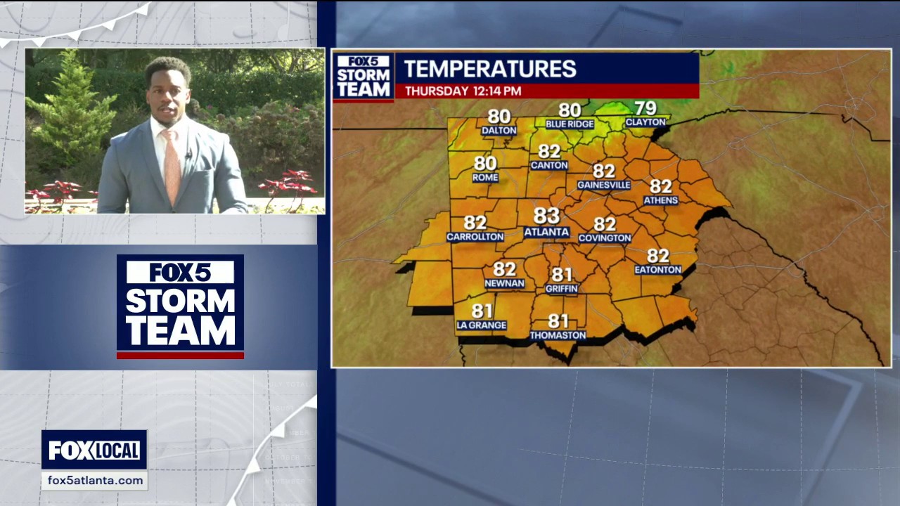 Thursday midday weather forecast
North Georgia is in for a sharp swing from summer heat to fall chill. Sunshine could push highs into the mid- to upper 80s today, with some areas reaching the 90s and record warmth possible again tomorrow. An air…
-
 Freeze warning issued for northern and central New Mexico valleys
ALBUQUERQUE, N.M. – A freeze warning covers the Upper Rio Grande Valley Wednesday night, while a stronger cold front could bring 50 to 55 mph wind gusts to parts of New Mexico on Thursday. Northwest winds will continue…
-
 Northeast Ohio weather: Dry stretch continues this weekend
CLEVELAND, Ohio (WOIO) - High pressure keeps dry weather around through the weekend and beyond. High temperatures rise to the mid 60s this afternoon under a sunny sky. Low temperatures drop to the upper 30s and low 40s…
Air quality
Acceptable. Unusually sensitive people should consider limiting prolonged outdoor exertion.
Forecast
- SatModerate (56)
- SunModerate (56)
- MonModerate (64)
Dayton, OH reporting area · 1 hr ago. Data from AirNow (EPA and its state, local and tribal partners); preliminary and subject to change.
Sun & moon
Almanac
MonthlyDayton Area, records since 1893. Normals 1991–2020. Data from NOAA's Regional Climate Centers (ACIS).
Nearby
- Dayton 18 km
- Hamilton 54 km
- Springfield 48 km
- Kettering 25 km
- Middletown 39 km
- Beavercreek 31 km
- Huber Heights 20 km
- Richmond 45 km
- Fairborn 29 km
- Mason 56 km
- Xenia 42 km
- Troy 24 km
Forecasters' discussion
From the National Weather Service office in ILN, issued 7 hrs ago
What Has Changed
Dense fog advisory has been issued for parts of west central Ohio.
Key Messages
1) Fog will occur across parts of west central and central Ohio into the mid morning.
2) Dry conditions will persist though much of next week.
Discussion
KEY MESSAGE 1) Northeast flow coming off of Lake Erie has increased low level moisture enough for fog to develop. This has spread into parts of west central Ohio and some areas in central Ohio north of Columbus. The lowest visibilities are forecast to remain across west central Ohio, so a dense fog advisory has been issued for that area. The fog should diminish by mid morning.
KEY MESSAGE 2) Mid level ridge extending from the western Gulf to the western Great Lakes will shift slightly eastward into the early part of the week. Surface high situated east of the area will remain through the weekend. Then a weak front will sag south across the area Monday into Monday night.
The mid level ridge gets slowly suppressed, finally breaking down by mid week as a short wave lifts out of the southern Plains and up the Ohio Valley. The front will wash out as another high moves from Ontario to the northeast Atlantic coast.
All put together, the extended period of dry conditions will persist well into next week, perhaps the entirety of the week. Temperatures will be above normal.
Aviation
Will continue to see the same conditions across the region. Visibility restrictions in valley fog will occur at KLUK for the early part of the period and then redevelop at the end. There could be a brief drop in visibility at KILN around 12Z as well. Otherwise VFR with just a few high clouds and easterly winds less than 10 kt.
OUTLOOK...No significant weather expected.
Forecasts, observations and alerts in the United States come from the National Weather Service (NOAA); radar from NOAA's Multi-Radar Multi-Sensor system; satellite imagery from NASA's Global Imagery Browse Services (GIBS) and NOAA's GOES satellites; the map from the U.S. Geological Survey's National Map; air quality from AirNow (EPA and its partners); hurricane information from the National Hurricane Center; climate normals and records from NOAA's Regional Climate Centers (ACIS). Forecasts outside the United States and the UV index: MET Norway (CC BY 4.0); observations outside the U.S.: airport reports via NOAA's Aviation Weather Center. Place names: GeoNames (CC BY 4.0). Data are copied on a schedule and may lag the sources; for warnings that affect your safety, follow your local National Weather Service office and emergency officials. Weather news is drawn from the 4Search index and reflects what the press published. Terms of use.