Install
Huntington Station, NY Weather
Current conditions
Observed at Farmingdale - Republic Airport · 52 min ago
Forecast
10-day-
Tuesday
Sunny. High near 57, with temperatures falling to around 55 in the afternoon. Northeast wind 5 to 10 mph.
-
Tuesday Night
Mostly clear, with a low around 42. Northeast wind around 3 mph.
-
Wednesday
Mostly sunny. High near 61, with temperatures falling to around 59 in the afternoon. East wind around 6 mph.
National Weather Service forecast updated 4 hrs ago.
Hourly
Hourly forecast- Now48°
- 8 AM48°
- 9 AM49°
- 10 AM51°
- 11 AM53°
- 12 PM55°
- 1 PM56°
- 2 PM56°
- 3 PM57°
- 4 PM56°
- 5 PM55°
- 6 PM54°
- 7 PM49°
- 8 PM47°
- 9 PM46°
- 10 PM45°
- 11 PM44°
- Wed12 AM44°
- 1 AM43°
- 2 AM43°
- 3 AM43°
- 4 AM42°
- 5 AM42°
- 6 AM42°
10-day forecast
Details- TonightOct 26Clear48°
- TodayOct 27Sunny42°57°
- WedOct 28Mostly Sunny48°61°
- ThuOct 29Sunny54°66°
- FriOct 30Sunny46°72°
- SatOct 31Mostly Sunny49°63°
- SunNov 1Mostly Cloudy32%54°65°
- MonNov 2Chance Rain Showers47%66°
- TueNov 3Rain0.11 in51°60°
- WedNov 4Rain0.30 in51°62°
Days after the National Weather Service's seven are MET Norway's outlook, a computer model with no forecaster's review.
Radar
Full mapWeather news near Huntington Station
More weather news-
 First Alert Weather: Freezing temps overnight for some parts of New York - 10/24/26
CBS News - The 5:33 | Legacy of the LIRR Massacre - On The Dot with David Schechter: Wildfires & Climate Change First Alert Weather: Freezing temps overnight for some parts of New York - 10/24/26 Trump, Obama make…
-
 AP Trending SummaryBrief at 12:34 p.m. EDT
How daylight saving time changes affect you and what you can do about it How daylight saving time changes affect you and what you can do about it It's almost time for most Americans to set their clocks back an hour…
- AP Trending SummaryBrief at 11:53 a.m. EDT
How daylight saving time changes affect you and what you can do about it How daylight saving time changes affect you and what you can do about it It's almost time for most Americans to set their clocks back an hour…
-
 First Alert Weather: Sun and clouds Saturday in New York - 10/24/26
CBS News - The 5:33 | Legacy of the LIRR Massacre - On The Dot with David Schechter: Wildfires & Climate Change First Alert Weather: Sun and clouds Saturday in New York - 10/24/26 First Alert Weather: Near normal temps…
-
 Vance no longer a hurricane but as a tropical storm still threatens Mexico's Pacific coast
Tropical Storm Vance is churning off Mexicoâs southwest Pacific coast after a day of gradual weakening but is threatening several western states in that country with heavy rain and possible flash flooding. Elsewhere…
-
 Early Halloween weather outlook reveals how brewing Super El Niño will haunt the forecast for millions
Halloween is next week and we're taking a look at early forecasts for the holiday. Find out which regions could see wet weather and cooler temps and which will be warm and dry: Halloween is about a week away, and the…
-
 Vance could be a major Category 3 hurricane Friday as it nears Mexico
Vance has become a hurricane off the coast of Mexico. The National Hurricane Center says Vance is a Category 1 hurricane with winds of 85 mph, and is expected to strengthen rapidly to become a major Category 3 hurricane…
- Vance becomes a hurricane as it churns off the coast of Mexico
This satellite image from the National Oceanic and Atmospheric Administration shows Tropical Storm Vance strengthening in the Pacific Ocean on Wednesday, Oct. 21, 2026. - Football playoff match-ups announced for…
-
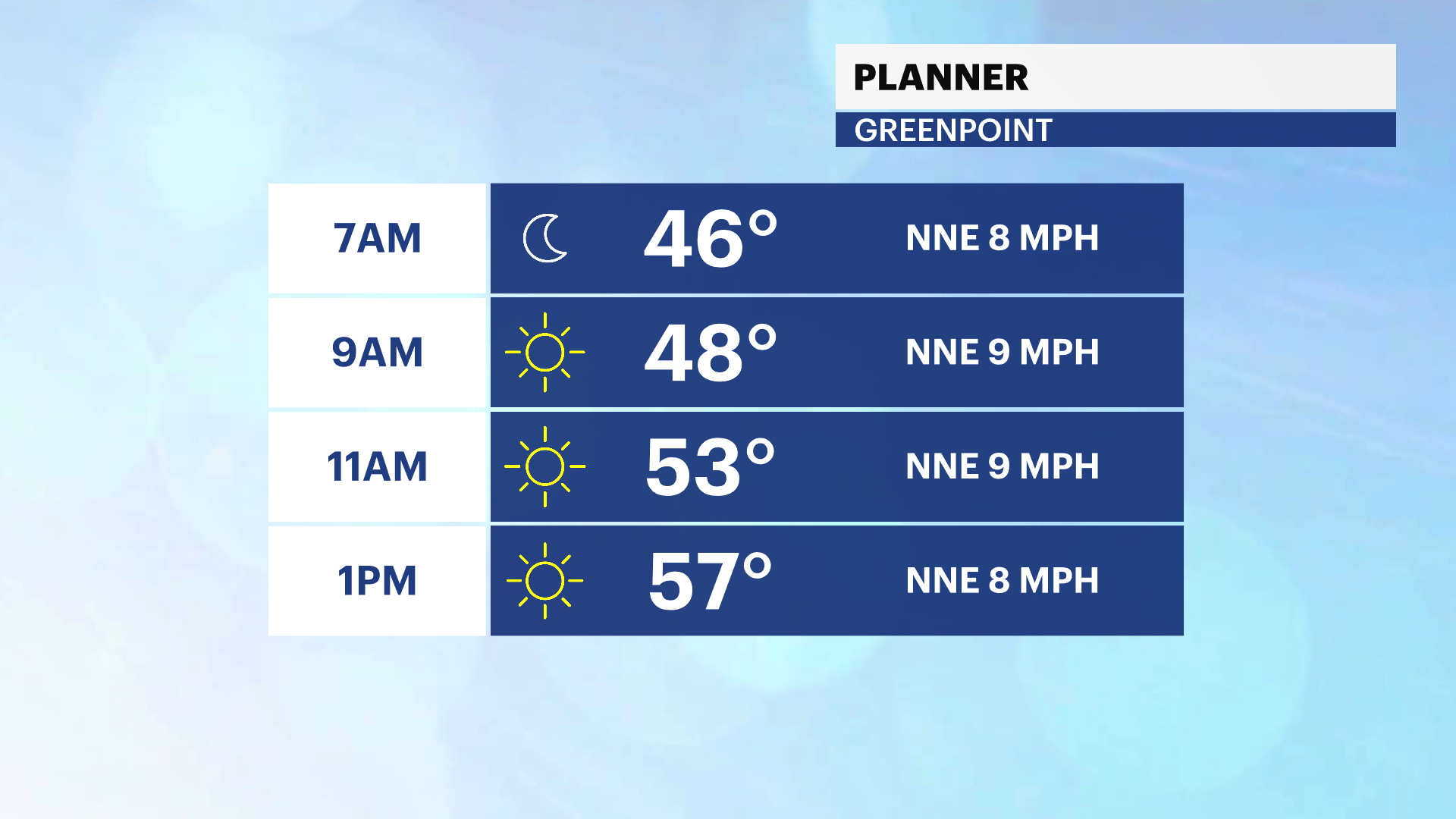 A cooler Friday on the way in Brooklyn with more sunshine but less wind
Another pleasant and breezy day in Brooklyn before colder air arrives tomorrow News12 | Bronx A cooler Friday on the way in Brooklyn with more sunshine but less wind Turning colder for Friday night with lows in the…
- Storm Josephine brings coastal flooding and strong winds to the Eastern Seaboard
Coastal flooding and gale-force winds are forecast for the Eastern Seaboard of the United States from Subtropical Storm Josephine. The storm had maximum sustained winds of 65 mph Thursday. Josephine is centered about…
Air quality
Air quality is satisfactory, and air pollution poses little or no risk.
Forecast
- TueGood (39)
Long Island Region, NY reporting area · 1 hr ago. Data from AirNow (EPA and its state, local and tribal partners); preliminary and subject to change.
Sun & moon
Almanac
MonthlyIslip Area, records since 1963. Normals 1991–2020. Data from NOAA's Regional Climate Centers (ACIS).
Nearby
- Queens 41 km
- The Bronx 38 km
- Yonkers 42 km
- Bridgeport 41 km
- Stamford 25 km
- North Stamford 34 km
- Norwalk 29 km
- Greenburgh 41 km
- East Norwalk 28 km
- New Rochelle 32 km
- Mount Vernon 36 km
- Brentwood 16 km
Forecasters' discussion
From the National Weather Service office in OKX, issued 4 hrs ago
What Has Changed
Frost Advisory is in effect for coastal portions of southeast CT tonight into Wednesday morning.
Coastal Flood Statement issued for the early afternoon high tide cycle for Fairfield county.
Key Messages
1) High pressure will remain the dominant player through the weekend.
2) Water levels may touch or come close to minor coastal flood benchmarks across Lower NY Harbor, southern Nassau, and southern Fairfield during the morning/afternoon high tide cycle today and Wednesday.
Key Message 1
A benign stretch of weather will continue through the upcoming weekend with high pressure largely in control. On the heels of a cold frontal passage, high pressure north of the Great Lakes builds southeast today and into the Northeast tonight. The high then works offshore Wednesday and gives way to another approaching cold front, which passes through dry on Friday. Another strong high pressure system builds across the area for the weekend.
Outside of some of high level clouds on Wednesday associated with a shortwave moving through the ridge, expect mostly sunny days and clear nights. The coldest night of the week looks to be tonight into Wednesday morning with the best chance for widespread frost formation across coastal southeast CT (Middlesex and New London counties), where the growing season continues. The growing season has already ended across the interior where frost is likely. Thus, a Frost Advisory will only be issued for coastal southeast CT. It is possible for some expansion later today if the frost coverage increases for the coastal zones.
Highs today are forecast to be in the upper 50s to lowers 60s, gradually warming Wednesday through Friday. Widespread 70s are forecast by Friday ahead of the next cold front. Lows tonight will be in the 30s to around 40 outside of the NYC metro, where it will be in the 40s to around 50. Subsequent mornings will warm as well, with readings in the upper 40s to the lower and mid 50s. Friday's highs and lows will be on the order of 10 to possibly 15 degrees above normal. Values are short of records.
Behind the cold front, cooler weather is on tap for the weekend, but remaining dry.
.KEY MESSAGE 2... Coastal Flood Statement in effect for coastal Fairfield county for this afternoon's high tide cycle.
Localized minor coastal flooding remains possible for portions of Lower NY Harbor, southern Nassau, and southern Fairfield during the morning/afternoon high tides today and Wednesday. The latest guidance supports the best chance of occurrence along the SW CT coast this afternoon. Despite high pressure over the area during this timeframe, astronomically high tides (King Tide) and an easterly swell are producing above normal water levels. In many cases, less than foot is needed to reach minor coastal flood benchmark.
Outlook For 06z Wednesday Through Saturday
Tuesday night-Saturday: VFR.
Detailed information, including hourly TAF wind component forecasts, can be found at: https:/www.weather.gov/zny/n90
Forecasts, observations and alerts in the United States come from the National Weather Service (NOAA); radar from NOAA's Multi-Radar Multi-Sensor system; satellite imagery from NASA's Global Imagery Browse Services (GIBS) and NOAA's GOES satellites; the map from the U.S. Geological Survey's National Map; air quality from AirNow (EPA and its partners); hurricane information from the National Hurricane Center; climate normals and records from NOAA's Regional Climate Centers (ACIS). Forecasts outside the United States and the UV index: MET Norway (CC BY 4.0); observations outside the U.S.: airport reports via NOAA's Aviation Weather Center. Place names: GeoNames (CC BY 4.0). Data are copied on a schedule and may lag the sources; for warnings that affect your safety, follow your local National Weather Service office and emergency officials. Weather news is drawn from the 4Search index and reflects what the press published. Terms of use. How to use Weather