Install
Buffalo, NY Weather
Current conditions
Observed at Buffalo, Greater Buffalo International Airport · 22 min ago
Forecast
10-day-
Friday
Mostly sunny, with a high near 58. East wind around 6 mph.
-
Friday Night
Mostly clear, with a low around 36. East wind 2 to 6 mph.
-
Saturday
Sunny, with a high near 62. Southwest wind around 3 mph.
National Weather Service forecast updated 1 day ago.
Hourly
Hourly forecast- Now58°
- 5 PM58°
- 6 PM56°
- 7 PM52°
- 8 PM48°
- 9 PM47°
- 10 PM45°
- 11 PM44°
- Sat12 AM43°
- 1 AM42°
- 2 AM41°
- 3 AM38°
- 4 AM36°
- 5 AM36°
- 6 AM36°
- 7 AM36°
- 8 AM39°
- 9 AM43°
- 10 AM49°
- 11 AM55°
- 12 PM58°
- 1 PM60°
- 2 PM61°
- 3 PM62°
10-day forecast
Details- ThuOct 22Sunny40°62°
- TodayOct 23Mostly Sunny36°58°
- SatOct 24Sunny42°62°
- SunOct 25Sunny50°64°
- MonOct 26Mostly Sunny42°64°
- TueOct 27Mostly Sunny38°56°
- WedOct 28Partly Sunny46°60°
- ThuOct 29Showers0.28 in47°65°
- FriOct 30Mostly sunny42°48°
- SatOct 31Sunny40°50°
Days after the National Weather Service's seven are MET Norway's outlook, a computer model with no forecaster's review.
Radar
Full mapWeather news near Buffalo
More weather news-
 Autumn's Forecast: Mild fall weather continues across WNY
BUFFALO, N.Y. (WKBW) — If you’ve been waiting for a good stretch of fall weather to tackle those outdoor plans, Wednesday is another great day to get outside across Western New York. It’s a chilly start to Wednesday…
-
 How long-range forecasters actually predict Thanksgiving travel weather — and why early route planning beats waiting
Extended meteorology does not attempt to lock down precise street-level accumulation weeks in advance. Instead, seasonal specialists track shifting jet stream patterns, moisture corridors, and historical pressure trends…
-
 Rapid City nears 80 Thursday before a sharp weekend cooldown
RAPID CITY, S.D. (KOTA) -Temperatures will climb toward 80 degrees in parts of western South Dakota and northeastern Wyoming before a cold front brings gusty winds, a chance of showers and a sharp cooldown this weekend…
-
 Thanksgiving Week Weather Forecast 2026: Old Farmer's Almanac Map Reveals Where Snow Could Fall
The Thanksgiving Week Weather Forecast 2026 from The Old Farmer's Almanac identifies six regions where snow could fall during the holiday period, the Northeast, Atlantic Corridor, Appalachians, Lower Lakes, Upper…
-
 FL1 FORECAST: Mostly sunny Tuesday starts another dry week across FLX and CNY
October 20, 2026 3:38 AM / Staff Report A weak cold front will cross the Finger Lakes and Central New York on Tuesday, bringing a few morning clouds and a light breeze but no rain before sunshine expands during the…
-
 Autumn's Forecast: Beautiful fall weather sticks around in WNY
BUFFALO, N.Y. (WKBW) — If you’ve been waiting for a good stretch of fall weather to tackle those outdoor plans, this is the week to do it across Western New York. Mainly clear and cool conditions settle in tonight, with…
-
 Chance of showers continues through Tuesday afternoon
KCBD LUBBOCK, Texas (KCBD) - A weak weather system will continue to bring slight chances of showers through Tuesday afternoon, with light rainfall amounts expected across the region. As a slow-moving shortwave trough…
-
 Weather Forecast: Geneva and Ithaca Wake to Near-Saturated Air Under Clear Skies
Finger Lakes Daily News Our records show you're subscribed. Stepping outside at the Weather Center this morning, 47°F and essentially 100% humidity greet you — but no fog, just still, crystalline air under a fully clear…
- Western South Dakota warms toward 80 before weekend cooldown
RAPID CITY, S.D. (KOTA) -Warm weather will continue across much of KOTA Territory this week, with some communities approaching or reaching 80 degrees before a stronger cold front brings a cooler, windier weekend…
-
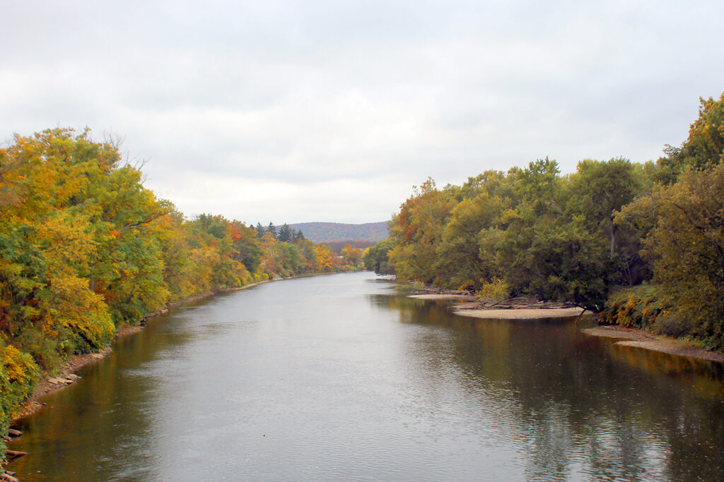 Sunshine, comfortable days expected this week - Olean Times Herald
Leaf peepers will have an extended period of fine weather to enjoy the fall foliage, as the coming week is expected to have warm days, chilly nights and plenty of sunshine. "There's no weather this week. Just high…
Air quality
Air quality is satisfactory, and air pollution poses little or no risk.
Forecast
- FriModerate (51)
- SatGood (45)
- SunModerate (51)
Western New York Region, NY reporting area · 1 hr ago. Data from AirNow (EPA and its state, local and tribal partners); preliminary and subject to change.
Sun & moon
Almanac
MonthlyLockport 2se, records since 1893. Normals 1991–2020. Data from NOAA's Regional Climate Centers (ACIS).
Nearby
- St. Catharines 43 km
- Amherst 12 km
- Niagara Falls 28 km
- Cheektowaga 10 km
- Welland 32 km
- Niagara Falls 27 km
- West Seneca 8 km
- North Tonawanda 17 km
- Fort Erie 5 km
- East Amherst 21 km
- Grand Island 18 km
- Lockport 35 km
Forecasters' discussion
From the National Weather Service office in BUF, issued 2 hrs ago
What Has Changed
No major changes with this forecast update.
Key Messages
1) Dry and tranquil weather is expected to continue into early next week.
Discussion
KEY MESSAGE 1...Dry and tranquil weather is expected to continue into early next week.
Ridging aloft and at the surface will continue to dominate the weather across region, providing several more days of quiet weather. The rex block should remain mostly intact into early next week before slowly breaking down in favor of a more zonal pattern by the middle of next week. Seasonable temperatures through Saturday will experience on a warming trend Sunday and Monday, with temperatures warming to as much as 10 degrees above normal, with some normally warmer spots possibly approaching 70F. A weak cold front moves through Monday, but the airmass is very dry with ridging across the SW CONUS blocking any moisture return, the front will offer some cooler temperatures by Tuesday.
Aviation
Mainly VFR weather is expected across WNY/CNY through the 18Z TAF period as high pressure will maintain its hold across the region. Mainly cirrus level cloudiness is expected through the TAF period. Localized river valley fog with MVFR to LIFR across the western Southern Tier and the Black River Valley may develop after 04Z/Sat through 12Z/Sat. Low confidence that any restrictions reach KJHW due to an unfavorable vertical wind profile in the atmospheric layer. Black River Valley fog may impact KART between ~08Z/Sat and 12Z/Sat.
Outlook...
Saturday through Wednesday...Mainly VFR. However, localized restrictions in late night/early morning valley fog.
Forecasts, observations and alerts in the United States come from the National Weather Service (NOAA); radar from NOAA's Multi-Radar Multi-Sensor system; satellite imagery from NASA's Global Imagery Browse Services (GIBS) and NOAA's GOES satellites; the map from the U.S. Geological Survey's National Map; air quality from AirNow (EPA and its partners); hurricane information from the National Hurricane Center; climate normals and records from NOAA's Regional Climate Centers (ACIS). Forecasts outside the United States and the UV index: MET Norway (CC BY 4.0); observations outside the U.S.: airport reports via NOAA's Aviation Weather Center. Place names: GeoNames (CC BY 4.0). Data are copied on a schedule and may lag the sources; for warnings that affect your safety, follow your local National Weather Service office and emergency officials. Weather news is drawn from the 4Search index and reflects what the press published. Terms of use.