Install
Brighton, NY Weather
Current conditions
Observed at Rochester, Greater Rochester International Airport · 36 min ago
Forecast
10-day-
Friday
Mostly sunny, with a high near 56. Northeast wind 3 to 7 mph.
-
Friday Night
Partly cloudy, with a low around 31. Southeast wind 1 to 5 mph.
-
Saturday
Sunny, with a high near 61. East wind around 3 mph.
National Weather Service forecast updated 15 hrs ago.
Hourly
Hourly forecast- Now39°
- 8 AM39°
- 9 AM42°
- 10 AM48°
- 11 AM51°
- 12 PM53°
- 1 PM54°
- 2 PM55°
- 3 PM55°
- 4 PM54°
- 5 PM53°
- 6 PM50°
- 7 PM46°
- 8 PM42°
- 9 PM41°
- 10 PM40°
- 11 PM39°
- Sat12 AM38°
- 1 AM37°
- 2 AM36°
- 3 AM35°
- 4 AM34°
- 5 AM33°
- 6 AM32°
10-day forecast
Details- ThuOct 22Mostly Sunny40°60°
- TodayOct 23Mostly Sunny31°56°
- SatOct 24Sunny38°61°
- SunOct 25Sunny46°66°
- MonOct 26Mostly Sunny42°65°
- TueOct 27Mostly Sunny36°53°
- WedOct 28Partly Sunny44°59°
- ThuOct 29Partly cloudy48°69°
- FriOct 30Cloudy44°60°
- SatOct 31Sunny38°54°
Days after the National Weather Service's seven are MET Norway's outlook, a computer model with no forecaster's review.
Radar
Full mapWeather news near Brighton
More weather news-
 First Alert Weather: A quiet Sunday night may lead to a frosty Monday morning for some
WHEC.com First Alert Weather: A quiet Sunday night may lead to a frosty Monday morning for some ROCHESTER, N.Y. – A Frost Advisory is in effect for Monroe, Wayne and northern Cayuga tonight through 9am Monday morning…
-
 First Alert Weather: Chilly morning turns into a nice afternoon with plenty of sun! Nice weather continues for a while…
First Alert Weather: Chilly morning turns into a nice afternoon with plenty of sun! Nice weather continues for a while... WHEC.com First Alert Weather: Chilly morning turns into a nice afternoon with plenty of sun! Nice…
- Winter Weather Awareness Week: Oct 25-Oct 31, 2026
The National Weather Service and The New York State Office of Emergency Management is promoting winter safety to all New Yorkers during Winter Weather Awareness week October 25 through October 31. You can help protect…
-
 Dangerous Freeze Warnings for 7 Counties in New York as Temperatures Plummet
Freeze Warnings take effect tonight across parts of New York, with lows in the upper 20s to around 30 expected from the Hudson Valley to Buffalo. The warnings run into 9 a.m. EDT Sunday. Frost and freeze conditions…
-
 First Alert Weather: Sunday brings a frosty morning and a picture-perfect fall day
WHEC.com First Alert Weather: Sunday brings a frosty morning and a picture-perfect fall day ROCHESTER, N.Y. – Saturday will end on a high note with abundant sunshine and a crisp fall breeze. The rest of the evening will…
-
 FL1 FORECAST: Blustery Saturday turns sunny before widespread overnight freeze
October 17, 2026 3:37 AM / Staff Report A blustery and unusually cold start to the weekend will give way to increasing sunshine across the Finger Lakes and Central New York on Saturday, but a widespread freeze is…
-
 Dangerous Freeze Watches Issued for Ohio, Pennsylvania and New York as Temperatures Plummet
Freeze Watches are in effect from late Saturday night through Sunday morning across Ohio, Pennsylvania, western New York, West Virginia, Maryland and Virginia, with lows as cold as 25 degrees possible. A strong cold…
-
 Weather Service Issues Rochester Storm Warning October 16
Severe thunderstorms threatened Rochester and four surrounding counties in western New York on Friday morning, October 16, 2026, prompting the National Weather Service to issue a warning for potentially damaging winds…
-
 FL1 FORECAST: Rain, gusty winds sweep across region before sharp Saturday chill
October 16, 2026 3:36 AM / Staff Report Periods of rain and gusty winds will cross the Finger Lakes and Central New York on Friday, followed by a fast drop in temperatures that could bring a few wet snowflakes to parts…
-
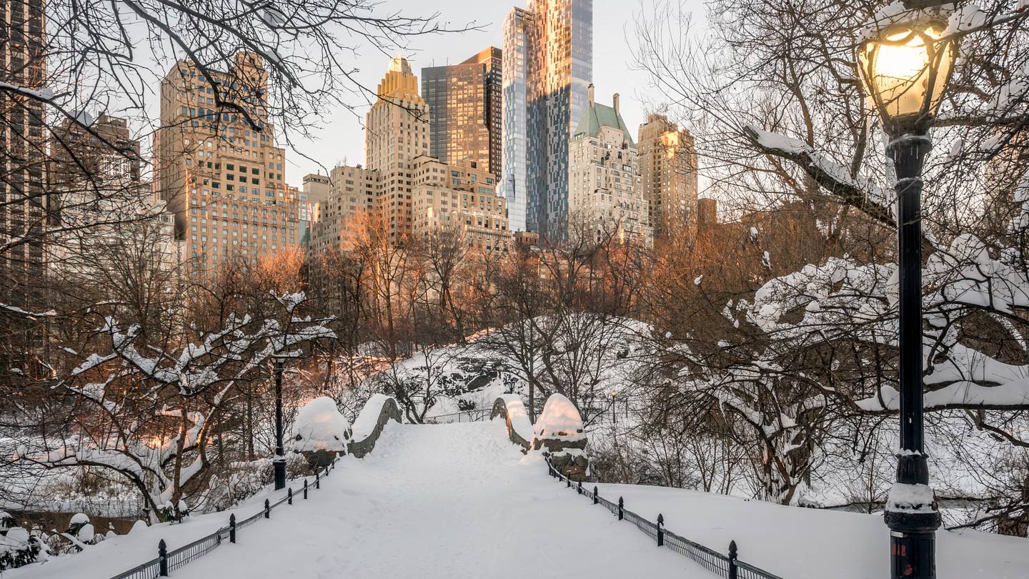 How Likely Is Your State to Have a White Christmas in 2026?
With only 10 Sundays left until Christmas, cities across the U.S. are already getting into the holiday spirit: stringing lights on trees, opening ice rinks, and rummaging through last year’s decorations as they prepare…
Air quality
Air quality is satisfactory, and air pollution poses little or no risk.
Forecast
- FriGood (26)
Eastern Lake Ontario Region, NY reporting area · 2 hrs ago. Data from AirNow (EPA and its state, local and tribal partners); preliminary and subject to change.
Sun & moon
Almanac
MonthlyRochester Area, records since 1872. Normals 1991–2020. Data from NOAA's Regional Climate Centers (ACIS).
Nearby
- Rochester 5 km
- Irondequoit 8 km
- Henrietta 11 km
- Gates-North Gates 12 km
- Batavia 54 km
- Greece 13 km
- Geneva 56 km
- West Henrietta 15 km
- Canandaigua 37 km
- North Gates 13 km
- Newark 39 km
- Brockport 32 km
Forecasters' discussion
From the National Weather Service office in BUF, issued 3 hrs ago
What Has Changed
No major changes with this forecast update.
Key Messages
1) Dry and tranquil weather is expected to continue through this Monday.
Discussion
KEY MESSAGE 1...Dry and tranquil weather is expected to continue through this Monday.
Aloft, a high pressure ridge builds from the Upper Midwest today and settles over the Northeast United States and vicinity, including our CWA, tonight through Sunday night. At the surface, the ridge continues to affect Western and Central NY as the embedded high pressure center wobbles generally S'ward from central QC to the Mid-Atlantic states. Dry weather persists in our CWA as stabilizing subsidence accompanies the ridge.
Clear to mainly clear sky is expected through most of the time period. However, isolated to scattered lake-effect stratocumuli over and downwind of the ~16C eastern Great Lakes are expected to persist through this late morning as a sufficiently-cold mean low-level flow veers from N'erly to ENE'erly. Lake-induced CAPE will remain limited as synoptic-scale low-level moisture remains scarce. These stratocumuli should dissipate by midday as daytime heating of surrounding land and overlying air causes the eastern Great Lakes to no longer be the primary source and warmth, moisture, and instability. Scattered to widespread upslope stratocumuli over the Western Southern Tier and vicinity should dissipate by daybreak this morning in response to the veering mean low-level flow and continued low-level dry air advection. The lake-effect and upslope stratocumuli are expected to remain too shallow to produce precip. Otherwise, variable amounts of mid/upper-level cloudiness associated with moist isentropic ascent preceding shortwave trough axes embedded in the NW'erly to W'erly flow aloft are expected, especially during today's mid-morning hours through the first few predawn hours of Saturday morning and Sunday afternoon through Sunday night.
Lows should reach mainly the upper 20's to upper 30's around daybreak this morning and be followed by highs in the 50's to lower 60's late this afternoon as weak low-level CAA continues in the wake of Thursday's cold front passage. Tonight's lows should reach mainly the mid 20's to mid 30's around daybreak Saturday as clearing sky, weak or calm surface winds, and low humidity promote efficient radiational cooling. Late afternoon highs should reach the mid 50's to lower 60's on Saturday as weak WAA begins to develop along the western flank of the low- level ridge. Overnight lows mainly in the mid 20's to upper 30's are forecast around daybreak Sunday due to another round of efficient radiational cooling. Warmer highs, mainly in the upper 50's to upper 60's, are expected on Sunday and should be followed by overnight lows in the mid 30's to upper 40's around daybreak Monday as the WAA regime strengthens somewhat along the western flank of the low-level ridge.
Note: Clear sky or sufficient cloud breaks and weak or calm surface winds should contribute to localized steam fog in the Black River Valley, Western Southern Tier river valleys, and the lake valleys of the Finger Lakes Region during the predawn hours through about 9 AM EDT today through Monday, respectively.
On Monday, cyclonic W'erly to WNW'erly flow aloft and embedded shortwave troughs are expected to impact our region. Variable amounts of mainly mid/upper-level cloudiness are expected amidst moist isentropic ascent ahead of the shortwave trough axes. At the surface, the aforementioned ridge will exit generally SE'ward and be followed by the SE'ward passage of a weak cold front during the late morning through early afternoon. A rather dry low-level atmospheric column should permit a dry cold front passage. Behind the front, another high pressure ridge should build from central Canada and vicinity through the evening. Late afternoon highs should reach mainly the mid 50's to mid 60's.
Aviation
North/northeast flow behind a cold front continues to produce an area of lake induced and upslope clouds south of the lakes with CIGS ranging from low VFR across lower areas to MVFR across the higher terrain of the Finger Lakes region and Southern Tier. Any flight restrictions (KJHW) will be brief as drier air can already be seen eroding low level decks north of the Thruway. This trend will continue with low clouds dissipating from north to south through the wee hours of the night, with no more than a FEW-SCT cloud deck possibly remaining toward the NY/PA line by daybreak.
Today...other than some passing mid and upper level decks during the afternoon and evening, VFR conditions will prevail through the end of the TAF period.
Outlook...
Tonight through Tuesday...Dry weather and mainly VFR are expected. However, localized steam fog with MVFR to LIFR should impact the Black River Valley, Western Southern Tier river valleys, and lake valleys of the Finger Lakes Region each late night and morning.
Forecasts, observations and alerts in the United States come from the National Weather Service (NOAA); radar from NOAA's Multi-Radar Multi-Sensor system; satellite imagery from NASA's Global Imagery Browse Services (GIBS) and NOAA's GOES satellites; the map from the U.S. Geological Survey's National Map; air quality from AirNow (EPA and its partners); hurricane information from the National Hurricane Center; climate normals and records from NOAA's Regional Climate Centers (ACIS). Forecasts outside the United States and the UV index: MET Norway (CC BY 4.0); observations outside the U.S.: airport reports via NOAA's Aviation Weather Center. Place names: GeoNames (CC BY 4.0). Data are copied on a schedule and may lag the sources; for warnings that affect your safety, follow your local National Weather Service office and emergency officials. Weather news is drawn from the 4Search index and reflects what the press published. Terms of use.