Install
Tonopah, NV Weather
Current conditions
Forecast for this hour (no station report in the last two hours)
Forecast
10-day-
Friday Night
Mostly clear, with a low around 33.
-
Saturday
Sunny, with a high near 54.
-
Saturday Night
Mostly clear, with a low around 35.
National Weather Service forecast updated 4 days ago.
Hourly
Hourly forecast- Now35°
- 6 AM35°
- 7 AM35°
- 8 AM36°
- 9 AM39°
- 10 AM42°
- 11 AM45°
- 12 PM48°
- 1 PM50°
- 2 PM52°
- 3 PM54°
- 4 PM54°
- 5 PM54°
- 6 PM52°
- 7 PM49°
- 8 PM47°
- 9 PM44°
- 10 PM42°
- 11 PM40°
- Sun12 AM39°
- 1 AM39°
- 2 AM38°
- 3 AM37°
- 4 AM36°
10-day forecast
Details- TonightOct 19Mostly Clear45°
- TueOct 20Isolated Rain Showers then Isolated Showers And Thunderstorms34%46°64°
- WedOct 21Chance Showers And Thunderstorms86%46°60°
- ThuOct 22Rain Showers86%39°52°
- FriOct 23Mostly Sunny33°54°
- TodayOct 24Sunny35°54°
- SunOct 25Sunny36°57°
- MonOct 26Mostly Sunny57°
- TueOct 27Cloudy38°63°
- WedOct 28Cloudy40°62°
Days after the National Weather Service's seven are MET Norway's outlook, a computer model with no forecaster's review.
Radar
Full mapWeather news in Nevada
More weather news-
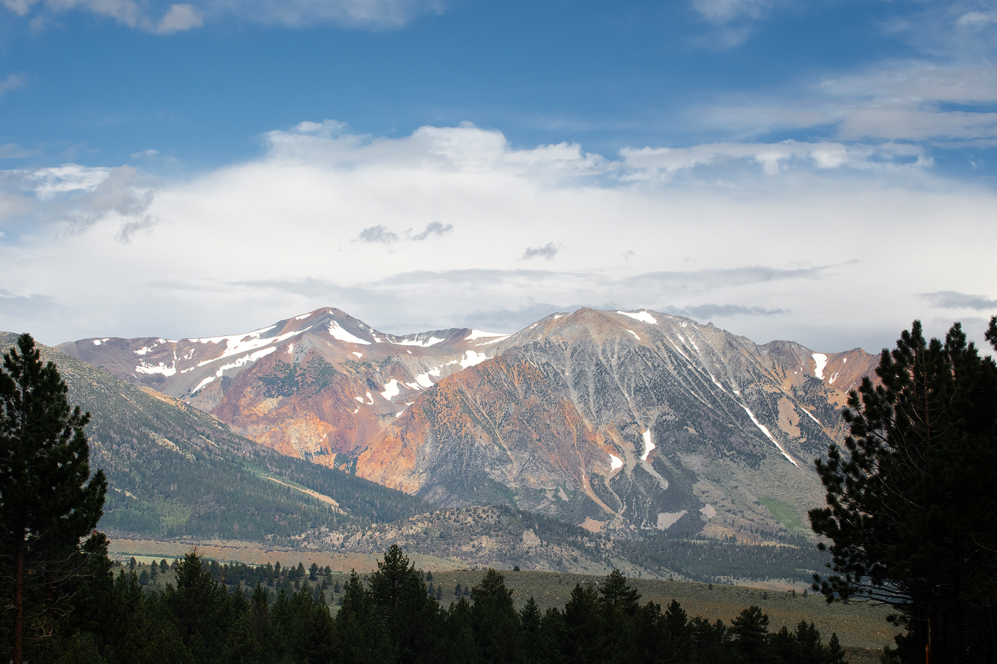 Storm to bring snow to high peaks in the Sierra Nevada
Mammoth Lakes could see snow from the storm moving into the Sierra Nevada this week. A storm moving through California this week is forecast to deliver snow to high peaks in the Sierra Nevada on Wednesday, with snow…
-
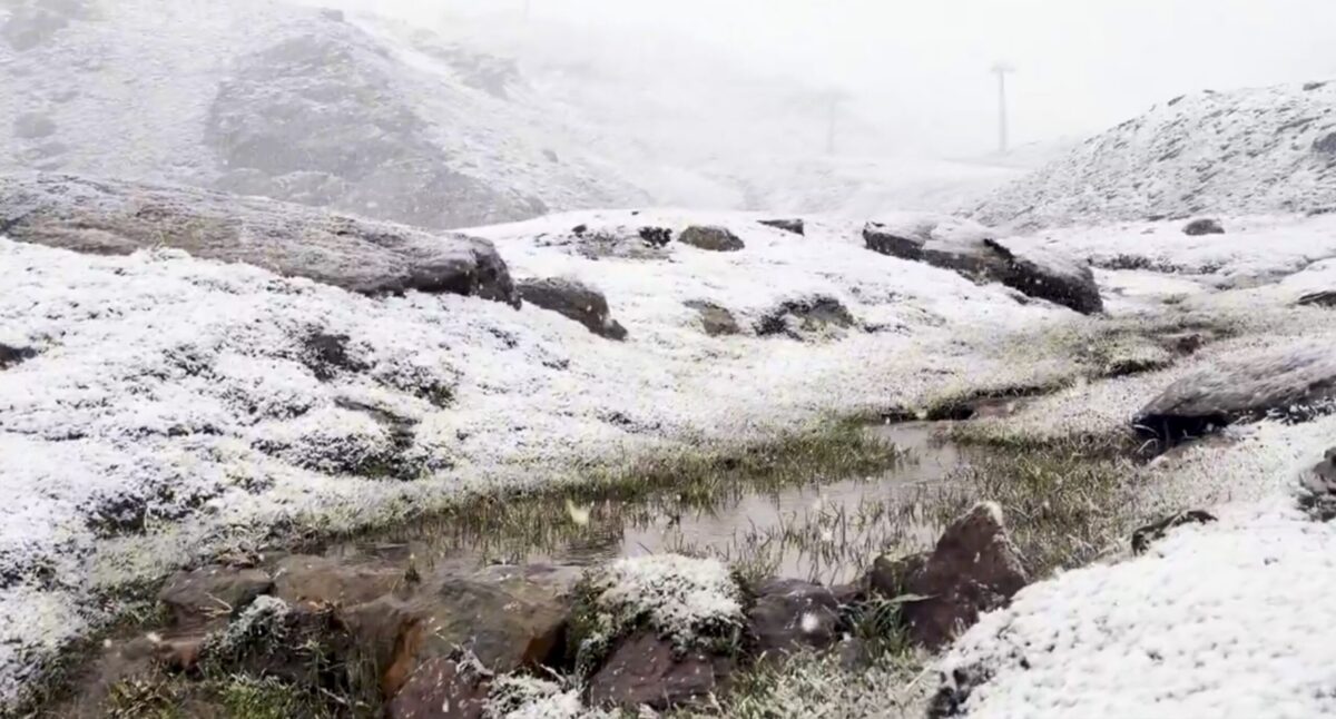 Sierra Nevada turns white early: First autumn snow hits peaks above Borreguiles
First snow of the season in Sierra Nevada. Credit: SN X First proper snow of the autumn has arrived on Sierra Nevada’s high ground this weekend, turning upper slopes white just as the resort looks forward to the 2026/27…
-
 Sunshine, warmer temperatures continue across northern Nevada Saturday
A beautiful Friday evening from News4/FOX11's Porsche Reno SkyCam Saturday is shaping up to be a beautiful day across the Truckee Meadows, with plenty of sunshine and temperatures climbing into the upper 70s in Reno…
-
 A Beautiful Fall Weekend in Southern Nevada
KTNV Las Vegas TONIGHT: Clear Low: 62 ° Winds: NE 5-10SATURDAY: Partly cloudy High: 79° Winds: NE 5-15SUNDAY: Sunny High: 79° Winds: Light NEFridayâs HaikuClear and cool tonightA beautiful fall weekendHighs around…
-
 Gusty North Winds Continue in Southern Nevada
ktnv.com Gusty North Winds Continue in Southern Nevada
-
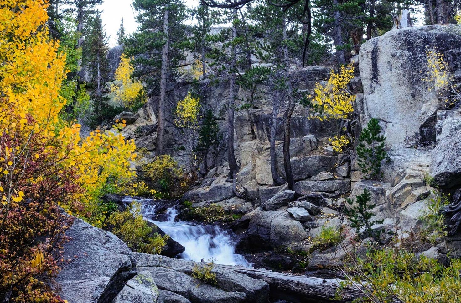 Drought Status Update for California-Nevada
NIDIS and its partners will issue future drought status updates as conditions evolve. Water Year 2026 Recap: Near-Normal Precipitation and a Warm Water Year Caused Mixed Drought Conditions This update is based on data…
Sun & moon
Almanac
MonthlyTonopah Airport, records since 1954. Normals 1991–2020. Data from NOAA's Regional Climate Centers (ACIS).
Forecasts, observations and alerts in the United States come from the National Weather Service (NOAA); radar from NOAA's Multi-Radar Multi-Sensor system; satellite imagery from NASA's Global Imagery Browse Services (GIBS) and NOAA's GOES satellites; the map from the U.S. Geological Survey's National Map; air quality from AirNow (EPA and its partners); hurricane information from the National Hurricane Center; climate normals and records from NOAA's Regional Climate Centers (ACIS). Forecasts outside the United States and the UV index: MET Norway (CC BY 4.0); observations outside the U.S.: airport reports via NOAA's Aviation Weather Center. Place names: GeoNames (CC BY 4.0). Data are copied on a schedule and may lag the sources; for warnings that affect your safety, follow your local National Weather Service office and emergency officials. Weather news is drawn from the 4Search index and reflects what the press published. Terms of use.