Install
Lovelock, NV Weather
Current conditions
Forecast for this hour (no station report in the last two hours)
Forecast
10-day-
Thursday
Rain showers likely before 11am, then showers and thunderstorms. Mostly cloudy, with a high near 62. Southwest wind around 5 mph. Chance of precipitation is 80%.
-
Thursday Night
Rain showers before 5am. Mostly cloudy, with a low around 33. West wind 5 to 15 mph. Chance of precipitation is 80%.
-
Friday
Mostly sunny, with a high near 60. Northwest wind 10 to 15 mph.
National Weather Service forecast updated 1 day ago.
Hourly
Hourly forecast- Now61°73%
- 2 PM61°73%
- 3 PM62°73%
- 4 PM61°73%
- 5 PM60°79%
- 6 PM57°79%
- 7 PM54°79%
- 8 PM51°79%
- 9 PM49°79%
- 10 PM47°79%
- 11 PM46°61%
- Fri12 AM44°61%
- 1 AM43°61%
- 2 AM41°61%
- 3 AM40°61%
- 4 AM39°61%
- 5 AM38°
- 6 AM35°
- 7 AM34°
- 8 AM34°
- 9 AM40°
- 10 AM47°
- 11 AM53°
- 12 PM56°
10-day forecast
Details- TonightOct 20Chance Rain Showers then Mostly Cloudy36%39°
- WedOct 21Showers And Thunderstorms82%39°73°
- TodayOct 22Showers And Thunderstorms79%33°62°
- FriOct 23Mostly Sunny24°60°
- SatOct 24Sunny26°61°
- SunOct 25Sunny29°63°
- MonOct 26Sunny29°64°
- TueOct 27Sunny65°
- WedOct 28Cloudy46°66°
- ThuOct 29Cloudy47°67°
Days after the National Weather Service's seven are MET Norway's outlook, a computer model with no forecaster's review.
Radar
Full mapWeather news in Nevada
More weather news-
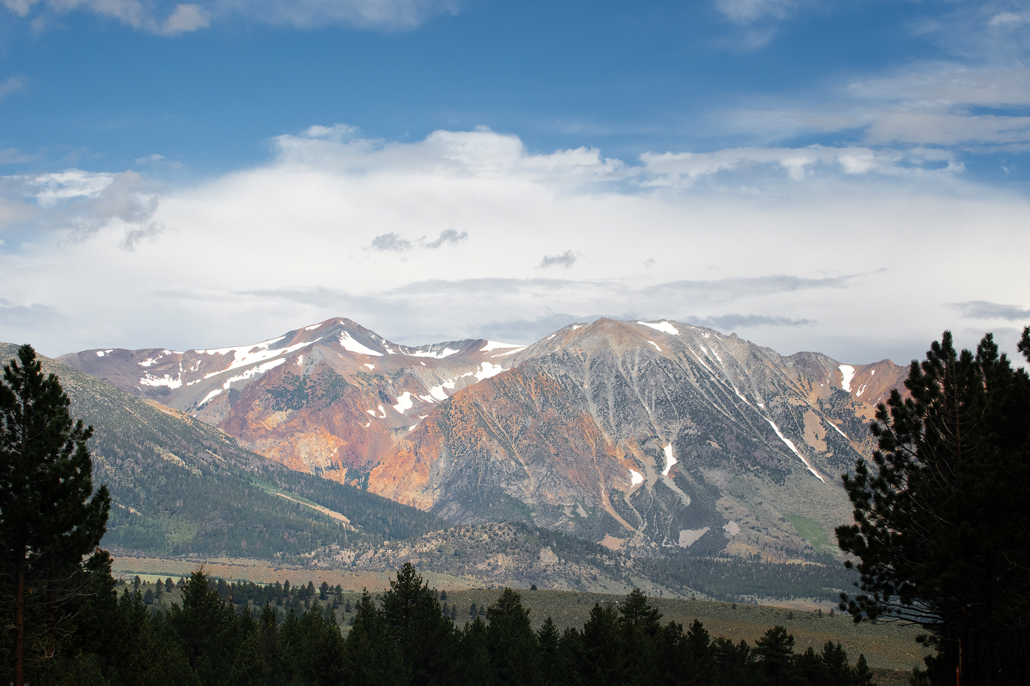 Storm to bring snow to high peaks in the Sierra Nevada
Mammoth Lakes could see snow from the storm moving into the Sierra Nevada this week. A storm moving through California this week is forecast to deliver snow to high peaks in the Sierra Nevada on Wednesday, with snow…
-
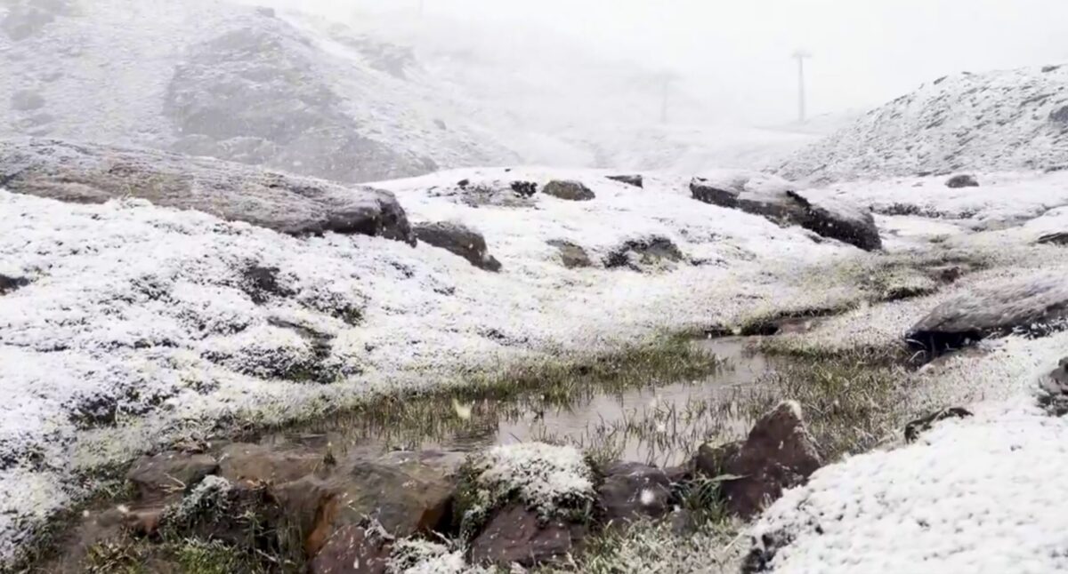 Sierra Nevada turns white early: First autumn snow hits peaks above Borreguiles
First snow of the season in Sierra Nevada. Credit: SN X First proper snow of the autumn has arrived on Sierra Nevada’s high ground this weekend, turning upper slopes white just as the resort looks forward to the 2026/27…
-
 Sunshine, warmer temperatures continue across northern Nevada Saturday
A beautiful Friday evening from News4/FOX11's Porsche Reno SkyCam Saturday is shaping up to be a beautiful day across the Truckee Meadows, with plenty of sunshine and temperatures climbing into the upper 70s in Reno…
-
 A Beautiful Fall Weekend in Southern Nevada
KTNV Las Vegas TONIGHT: Clear Low: 62 ° Winds: NE 5-10SATURDAY: Partly cloudy High: 79° Winds: NE 5-15SUNDAY: Sunny High: 79° Winds: Light NEFridayâs HaikuClear and cool tonightA beautiful fall weekendHighs around…
-
 Gusty North Winds Continue in Southern Nevada
ktnv.com Gusty North Winds Continue in Southern Nevada
-
 Drought Status Update for California-Nevada
NIDIS and its partners will issue future drought status updates as conditions evolve. Water Year 2026 Recap: Near-Normal Precipitation and a Warm Water Year Caused Mixed Drought Conditions This update is based on data…
Sun & moon
Almanac
MonthlyRye Patch Dam, records since 1935. Normals 1991–2020. Data from NOAA's Regional Climate Centers (ACIS).
Forecasters' discussion
From the National Weather Service office in REV, issued 10 hrs ago
Key Messages
* A slow moving storm will bring periods of wetting rain with thunderstorms and high elevation snow to the region through tonight.
* Breezy west to northwest winds tonight into Friday as showers linger across west central NV and Mono County.
* Cool and dry conditions prevail this weekend through the middle of next week. A more active storm pattern may return by the end of October or early November.
Discussion
The first round of rain and thunderstorms moved across the region Wednesday afternoon and evening, with the heaviest rain totals from 0.50" to locally over 1" across the Carson Valley and northern areas of the Tahoe basin. Some storms produced accumulating small hail, including I-580 in Washoe Valley during the PM commute. Another wet day is on the way, with the latest WPC outlook keeping most of western NV and eastern CA in a marginal (5-15%) risk of excessive/flood-producing rainfall through early Friday morning.
* As the upper low center off the southern CA coast moves inland today and tracks northeastward to central-eastern NV tonight, additional shower bands with embedded lightning will form through this morning. The most favored areas include Mono County northward across west central NV, although lighter showers remain in play across the remainder of eastern CA-western NV. For higher elevations above 8000-8500 feet in Mono County, 1-3" of new snow is expected through late morning, with up to 6" for higher peaks such as Mammoth Mountain and the White Mountains.
* For this afternoon, instability increases as colder air aloft moves across the Sierra and western NV, leading to another around of showers and thunderstorms. Higher resolution guidance appears to be focusing on two areas where storm chances/coverage are higher. The first is around the Tahoe basin northward to southern Lassen County and also into far western NV mainly from I-80 northward, and the second is across west central NV near and east of US-95. While both areas can expect storms with locally heavy rainfall, lightning and small hail/graupel, some of the cells in the US-95 vicinity could become stronger and more organized as more instability (CAPE up to 500-700 J/kg) is expected in this area. Additional rainfall amounts through sunset today will be in a wider range from 0.10-0.50", with locally higher amounts up to 1" where heavier showers/storms occur. For the Sierra above 8000 feet, isolated locations where heavier showers/storms occur could receive a few more inches of snow, while spotty amounts of 1" or less between 7000-8000 feet.
* For this evening and overnight, a surface cold front across northeast CA-northwest NV combines with outflows and moisture from the afternoon storm activity to sustain a larger area of light to moderate rain. This rain area is then projected to wrap around the main low and track across western NV mainly from US-50 northward overnight into early Friday morning. Areas north of Susanville-Pyramid Lake-Fallon have the highest probability (60-80%) of receiving at least 0.25" of additional rainfall tonight into Friday morning. An increase in west to northwest winds will also accompany/follow this rain area as the cold front moves through, with gusts 25-35 mph and ridge top gusts of 40-50 mph.
* For the remainder of Friday, light showers south of US-50 and east of US-95 along the back edge of the cold front may linger into the early afternoon for Mono County, otherwise a drier air mass spreads over the region. Temperatures drop to below average through Friday with highs mainly in the 50s to near 60. As skies clear out Friday night, lows plunge into the 20s for most lower elevations, with teens and single digits for Sierra and typically colder valley sites. A short period of increased NE-E ridge winds (gusts 40-60 mph) for the Sierra crest is also projected for Friday night, which may also bring brief choppy conditions on Lake Tahoe.
* A dry fall weekend is then expected with a slow warmup into the 60s for most areas by Sunday. Similar temperatures and dry conditions are anticipated through early-mid next week, although a shortwave trough passage across the Pacific NW could bring increased PM breezes Monday or Tuesday mainly from I-80 northward, and low end (10-15%) light shower chances near the OR border. Longer range guidance signals a potential return to an active storm pattern toward the end of October, although more of the ensemble members delays this change until early November. MJD
Aviation
* Recent and upcoming rain at KTRK provides the setup for areas of fog/low stratus this morning and again early Friday morning, producing LIFR conditions mainly between 08-16Z.
* Widespread rain and embedded thunderstorms (15-20% chance) bring periods of MVFR/IFR conditions and mountain obscurations through much of today, with additional rain tonight mainly for KTRK/KRNO/KCXP.
* Winds will be light overall through this afternoon, though heavier showers/storms may trigger brief gusts to 30+ kts. A cold frontal passage will bring W-NW gusts of 20-25 kt tonight for KRNO.
* Clearing skies bring prevailing VFR conditions to the main terminals Friday through the weekend, although FZFG potential continues each morning at KTRK. MJD
Forecasts, observations and alerts in the United States come from the National Weather Service (NOAA); radar from NOAA's Multi-Radar Multi-Sensor system; satellite imagery from NASA's Global Imagery Browse Services (GIBS) and NOAA's GOES satellites; the map from the U.S. Geological Survey's National Map; air quality from AirNow (EPA and its partners); hurricane information from the National Hurricane Center; climate normals and records from NOAA's Regional Climate Centers (ACIS). Forecasts outside the United States and the UV index: MET Norway (CC BY 4.0); observations outside the U.S.: airport reports via NOAA's Aviation Weather Center. Place names: GeoNames (CC BY 4.0). Data are copied on a schedule and may lag the sources; for warnings that affect your safety, follow your local National Weather Service office and emergency officials. Weather news is drawn from the 4Search index and reflects what the press published. Terms of use.