Install
Ely, NV Weather
Current conditions
Observed at Ely, Ely Airport · 45 min ago
Forecast
10-day-
Wednesday
Isolated showers and thunderstorms between 11am and 2pm, then scattered showers and thunderstorms between 2pm and 4pm, then isolated showers and thunderstorms. Mostly sunny, with a high near 63. South southeast wind 5 to 15 mph. Chance of precipitation is 30%.
-
Wednesday Night
A chance of showers and thunderstorms. Mostly cloudy, with a low around 40. South southeast wind around 15 mph. Chance of precipitation is 70%. New rainfall amounts less than a tenth of an inch possible.
-
Thursday
A chance of rain showers before 8am, then showers and thunderstorms. Cloudy, with a high near 56. South southeast wind 10 to 15 mph. Chance of precipitation is 90%. New rainfall amounts between a quarter and half of an inch possible.
National Weather Service forecast updated 2 hrs ago.
Hourly
Hourly forecast- Now40°
- 7 AM39°
- 8 AM43°
- 9 AM48°
- 10 AM55°11%
- 11 AM58°17%
- 12 PM60°18%
- 1 PM61°21%
- 2 PM62°34%
- 3 PM63°26%
- 4 PM61°22%
- 5 PM61°23%
- 6 PM57°22%
- 7 PM52°22%
- 8 PM50°21%
- 9 PM49°21%
- 10 PM48°20%
- 11 PM47°23%
- Thu12 AM46°27%
- 1 AM45°29%
- 2 AM45°33%
- 3 AM44°38%
- 4 AM42°39%
- 5 AM43°70%
10-day forecast
Details- TonightOct 20Partly Cloudy39°
- TodayOct 21Isolated Showers And Thunderstorms70%40°63°
- ThuOct 22Showers And Thunderstorms87%34°56°
- FriOct 23Chance Rain And Snow Showers62%27°47°
- SatOct 24Sunny28°50°
- SunOct 25Sunny30°55°
- MonOct 26Sunny31°56°
- TueOct 27Sunny55°
- WedOct 28Sunny29°51°
- ThuOct 29Sunny28°52°
Days after the National Weather Service's seven are MET Norway's outlook, a computer model with no forecaster's review.
Radar
Full mapWeather news near Ely
More weather news- How much rain fell in Minnesota on Thursday, Oct. 15?
After a bone-dry start to October for much of the state, Minnesota finally welcomed some rain on Thursday. Unlike the short, heavy bursts typically brought by summer storms, Thursday was a decidedly fall-like day of…
-
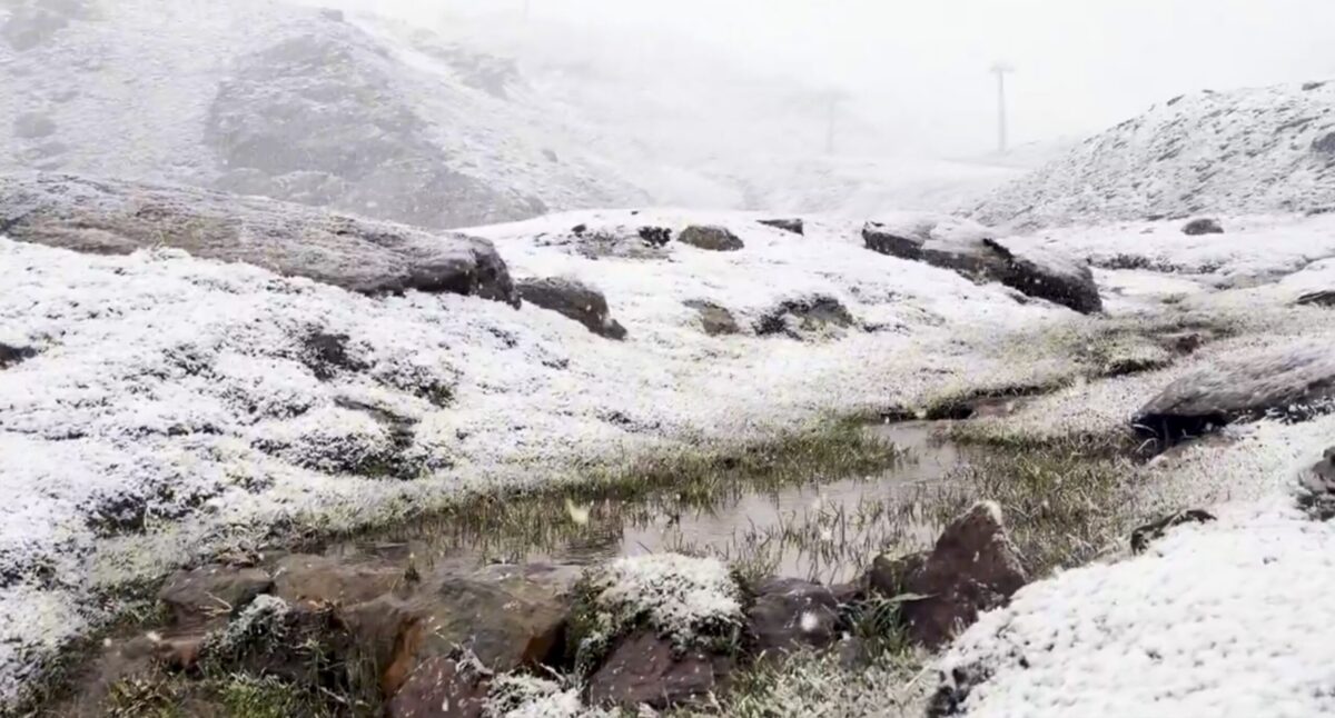 Sierra Nevada turns white early: First autumn snow hits peaks above Borreguiles
First snow of the season in Sierra Nevada. Credit: SN X First proper snow of the autumn has arrived on Sierra Nevada’s high ground this weekend, turning upper slopes white just as the resort looks forward to the 2026/27…
-
 Sunshine, warmer temperatures continue across northern Nevada Saturday
A beautiful Friday evening from News4/FOX11's Porsche Reno SkyCam Saturday is shaping up to be a beautiful day across the Truckee Meadows, with plenty of sunshine and temperatures climbing into the upper 70s in Reno…
-
 A Beautiful Fall Weekend in Southern Nevada
KTNV Las Vegas TONIGHT: Clear Low: 62 ° Winds: NE 5-10SATURDAY: Partly cloudy High: 79° Winds: NE 5-15SUNDAY: Sunny High: 79° Winds: Light NEFridayâs HaikuClear and cool tonightA beautiful fall weekendHighs around…
-
 Gusty North Winds Continue in Southern Nevada
ktnv.com Gusty North Winds Continue in Southern Nevada
-
 Drought Status Update for California-Nevada
NIDIS and its partners will issue future drought status updates as conditions evolve. Water Year 2026 Recap: Near-Normal Precipitation and a Warm Water Year Caused Mixed Drought Conditions This update is based on data…
-
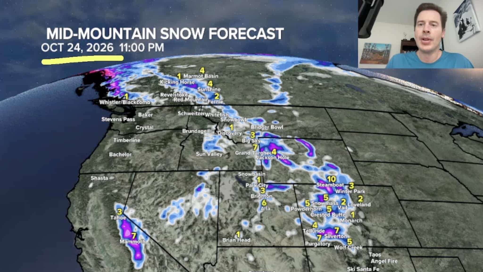 Sierra Nevada, Colorado, and Wyoming Could See A Lot More Snow Next Week
The Sierra Nevada is positioned to receive some of the highest snowfall totals in Tomer’s latest forecast. The incoming storm is expected to dig south into California, generating snowfall across the High Sierra. Tomer…
-
 America’s Most Turbulent Flights Come From Utah & Nevada!
If you fly between Salt Lake City and Denver, buckle up. Six of America's ten roughest flight routes involve Utah or Nevada, where the Rocky Mountains and strong winds create consistent turbulence for travelers…
- Moisture From Hurricane Rachel Brought Measurable Snowfall to the Sierra Nevada
As Hurricane Rachel transitioned to a tropical storm and hooked toward Southern California, the system’s remnants coincided with a cold low-pressure system, bringing an early season dusting of snow to the Sierra Nevada…
Air quality
Air quality is satisfactory, and air pollution poses little or no risk.
Great Basin National Park, NV reporting area · 1 hr ago. Data from AirNow (EPA and its state, local and tribal partners); preliminary and subject to change.
Sun & moon
Almanac
MonthlyEly Airport, records since 1893. Normals 1991–2020. Data from NOAA's Regional Climate Centers (ACIS).
Forecasters' discussion
From the National Weather Service office in LKN, issued 4 hrs ago
Key Messages
* Periods of valley rain and mountain snow continues thru Friday.
* Isolated thunderstorms expected Wednesday and Thursday afternoon and evening.
* Much cooler Friday, followed by a modest warming trend thru Monday.
Discussion
(Today through next Wednesday)
WEATHER PATTERN OVERVIEW: Large upper level closed low continues to slowly meander east and into California this morning. The low will concurrently weaken as it moves into Nevada today and Thursday, opening into a deep upper level trof. Trof axis looks to be centered over Nevada by Thursday night, after midnight. By Friday morning, most of the energy associated with the system will shift east into Utah as the trof splits into two pieces. The northern half lifting north into Montana and Alberta and a southern piece re- organizing into another closed low that will drift from Arizona into the four corners region Saturday.
Sensible weather wise, periods of showers and thunderstorms will continue thru Friday morning, with activity dissipating from west to east Friday afternoon and thru Friday night as the afore mentioned upper level trof progresses east into Utah. Areal coverage of showers and thunderstorms will again increase from the south, moving into central Nevada this afternoon and evening. The main push of showers and thunderstorms will occur Thursday as the main energy of the system passes overhead. Thunderstorms will be possible across the entire forecast area and there is a marginal risk of severe thunderstorms across eastern Nevada, including White Pine and Elko counties. The potential for severe thunderstorms across eastern Nevada on Thursday looks top be supported by adequate CAPE and mid level lapse rates, which will also be co- located with the main area of upper level lift. Gusty and erratic outflow winds, frequent cloud to ground lightning, and small hail are the primary hazards.
By Friday morning cooler air aloft will filter in from the northwest, and snow levels which had been around 10,000 feet for the majority of the event will lower to around 6,000 feet just as precipitation begins to dissipate across northern Nevada from west to east. Timing may allow for snowfall which had been restricted to the mountain summits to reach some of the higher elevation passes on NV225 Friday morning. That said, any valley snowfall within northwest Elko County will be limited to less than an inch. Storm total rainfall accumulation for the four day period that began Tuesday and will run thru Friday continues to look robust with most locations expected to receive between 0.25 inches and 0.75 inches. One inch or more of liquid equivalent is expected for the mountains thru Friday afternoon.
Beyond Friday, high pressure looks to quickly build in behind the trof, with the ridge firmly in control by Sunday. This will provide fair weather and a modest warming trend into next week Monday. Ridge looks to remain in control thru Wednesday of next week with fair weather continuing.
FORECAST CONFIDENCE & DEVIATIONS: There is high confidence for isolated to scattered showers and isolated thunderstorms today and tomorrow with the majority of the activity occurring on Thursday.
Aviation
Periods of -SHRA and/or VCSH will be present at all terminals thru at least Wednesday night as active weather persists across the region thru Friday. That said, CIGS are expected to remain within VFR category though brief reductions in VIS due to -SHRA on terminal may produce periods of MVFR. TS and/or VCTS may also impact terminals this afternoon as thunderstorms will be present across the forecast area. Breezy to locally windy conditions can also be expected this afternoon under generally southeast winds. The strongest winds will be present across the central Nevada terminals KTPH and KELY with gusts 25KT to 30KT.
Fire Weather
Upper level system continues to slowly move into the Great Basin from the west today and tomorrow, bringing rain showers, thunderstorms, and mountain snow to all FWZs. The next push of light showers and thunderstorms will move into central Nevada from the south around midday today. Shower and thunderstorm activity will increase Thursday as the main band of energy passes overhead, bringing additional activity north into the forecast area in the morning. The Storm Prediction Center has also issued a marginal risk for severe thunderstorms across FWZs 425, 438, 469, and 470 for Thursday afternoon. Gusty and erratic outflow winds, frequent cloud to ground lightning, and small hail are the primary hazards. Activity begins to dissipate from west to east Friday, eventually exiting Nevada Friday night. Widespread wetting rains are still expected over the four day period that began Tuesday and runs thru Friday with 0.25 inches to 0.75 inches of rainfall forecast across all FWZs, most of which is expected to fall on Thursday. Breezy to locally windy conditions will also be present each afternoon thru Friday, especially in central Nevada where gusts as high as 30-40 mph are expected. Much cooler temperatures will be in place by Friday though a modest warming trend will take place thru the weekend with dry and fair weather also present.
Forecasts, observations and alerts in the United States come from the National Weather Service (NOAA); radar from NOAA's Multi-Radar Multi-Sensor system; satellite imagery from NASA's Global Imagery Browse Services (GIBS) and NOAA's GOES satellites; the map from the U.S. Geological Survey's National Map; air quality from AirNow (EPA and its partners); hurricane information from the National Hurricane Center; climate normals and records from NOAA's Regional Climate Centers (ACIS). Forecasts outside the United States and the UV index: MET Norway (CC BY 4.0); observations outside the U.S.: airport reports via NOAA's Aviation Weather Center. Place names: GeoNames (CC BY 4.0). Data are copied on a schedule and may lag the sources; for warnings that affect your safety, follow your local National Weather Service office and emergency officials. Weather news is drawn from the 4Search index and reflects what the press published. Terms of use.