Install
Carlin, NV Weather
Current conditions
Observed at Elko, Elko Regional Airport · 1 hr ago
Forecast
10-day-
Tonight
Showers and thunderstorms. Cloudy, with a low around 31. South southwest wind 5 to 10 mph. Chance of precipitation is 90%. New rainfall amounts between a tenth and quarter of an inch possible.
-
Friday
Showers and thunderstorms before 3pm. Mostly cloudy, with a high near 51. West wind 10 to 15 mph. Chance of precipitation is 100%. New rainfall amounts less than a tenth of an inch possible.
-
Friday Night
Mostly cloudy, with a low around 23. North northwest wind 0 to 5 mph.
National Weather Service forecast updated 11 hrs ago.
Hourly
Hourly forecast- Now46°47%
- 11 PM44°54%
- Fri12 AM43°59%
- 1 AM41°59%
- 2 AM40°56%
- 3 AM39°62%
- 4 AM36°62%
- 5 AM36°56%
- 6 AM34°62%
- 7 AM32°62%
- 8 AM34°58%
- 9 AM37°58%
- 10 AM41°58%
- 11 AM44°20%
- 12 PM48°20%
- 1 PM49°20%
- 2 PM51°15%
- 3 PM52°15%
- 4 PM51°15%
- 5 PM51°
- 6 PM49°
- 7 PM47°
- 8 PM44°
- 9 PM41°
Daily forecast
Details- TodayOct 22Showers And Thunderstorms94%31°67°
- FriOct 23Showers And Thunderstorms98%23°51°
- SatOct 24Sunny22°58°
- SunOct 25Sunny25°62°
- MonOct 26Sunny12%26°64°
- TueOct 27Sunny25°62°
- WedOct 28Mostly Sunny28°63°
- ThuOct 29Cloudy32°60°
- FriOct 30Partly cloudy40°63°
Days after the National Weather Service's seven are MET Norway's outlook, a computer model with no forecaster's review.
Radar
Full mapWeather news near Carlin
More weather news-
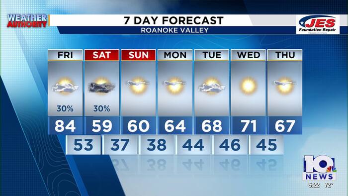 Southwest, Central Virginia Weather | 5 p.m. - Oct. 15, 2026
WSLS Southwest, Central Virginia Weather | 5 p.m. - Oct. 15, 2026 Here is a look at your Thursday evening forecast. Visit Virginia's Blue Ridge Dinner gauges growing tourism Watch The 540 Oct. 15: GO Fest Interview…
-
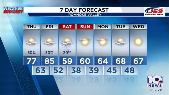 Southwest, Central Virginia Weather | 11 p.m. - Oct. 14, 2026
WSLS Southwest, Central Virginia Weather | 11 p.m. - Oct. 14, 2026 Here is a look at your Wednesday night forecast. 6th District community conversation held in Clifton Forge Wednesday night 16 patients taken to hospital…
-
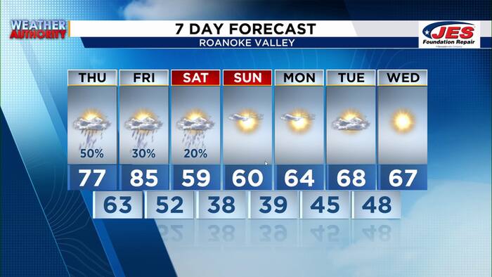 Southwest, Central Virginia Weather | 7 p.m. - Oct. 14, 2026
WSLS Southwest, Central Virginia Weather | 7 p.m. - Oct. 14, 2026 Here's a look at your forecast! Crews on scene of WestRock Paper Mill in Covington John Carlin's Outdoors | Red foxes released back into wild in…
-
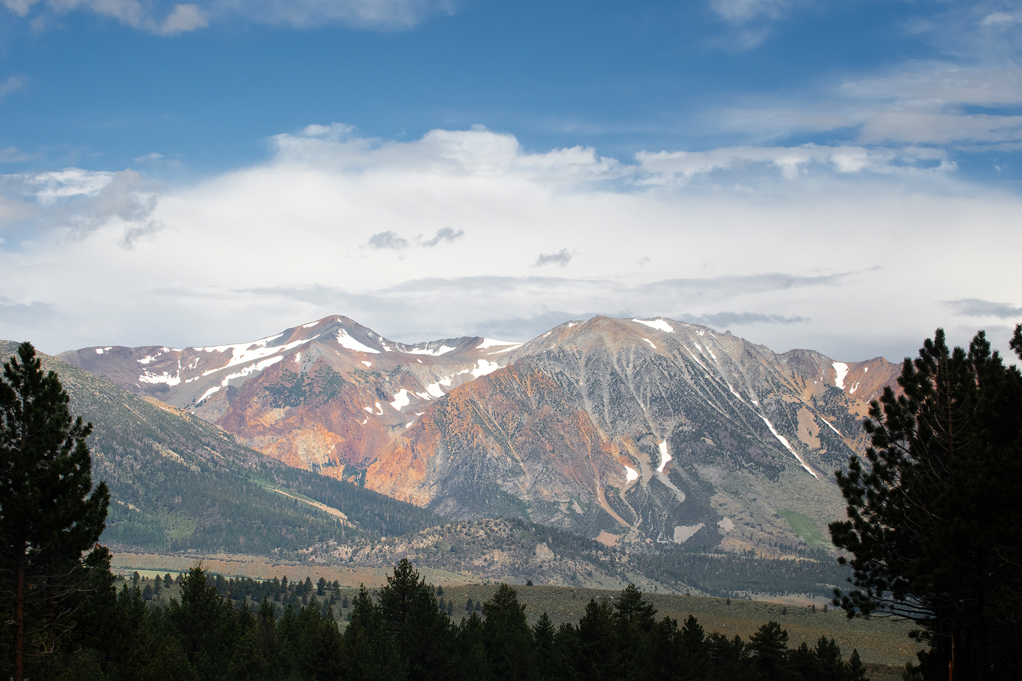 Storm to bring snow to high peaks in the Sierra Nevada
Mammoth Lakes could see snow from the storm moving into the Sierra Nevada this week. A storm moving through California this week is forecast to deliver snow to high peaks in the Sierra Nevada on Wednesday, with snow…
-
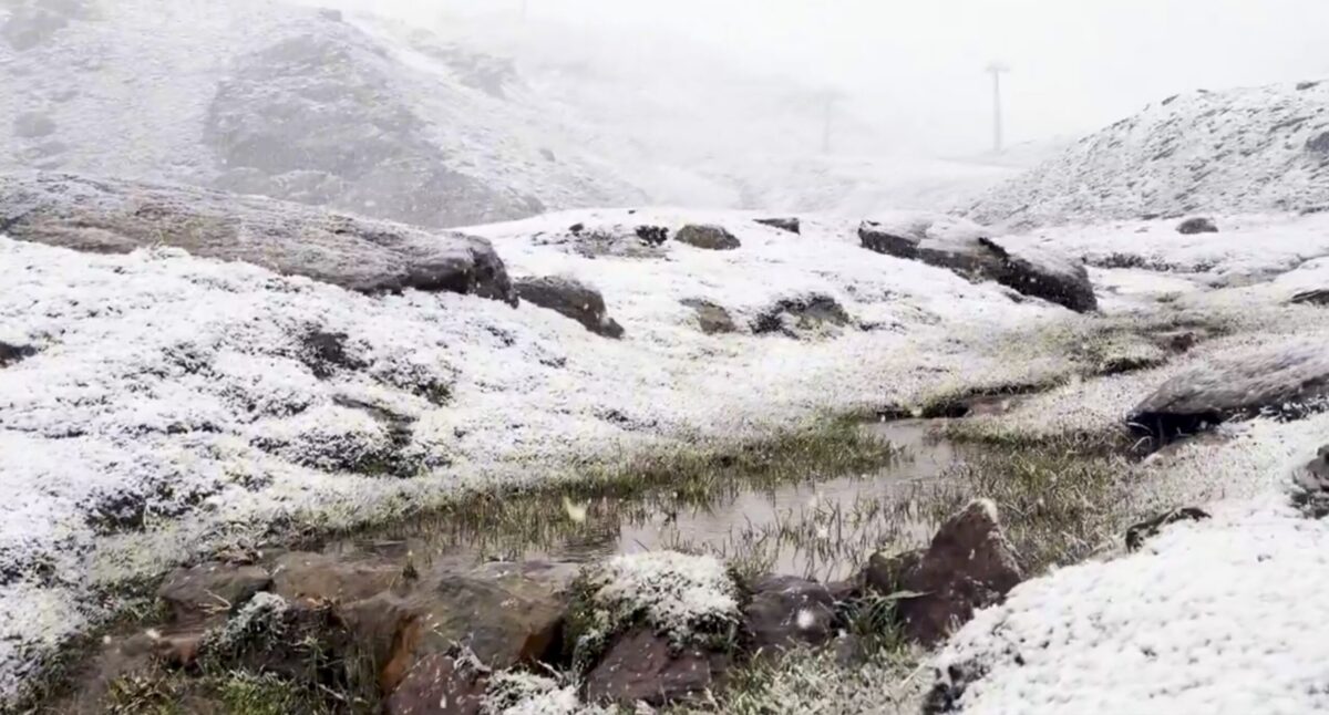 Sierra Nevada turns white early: First autumn snow hits peaks above Borreguiles
First snow of the season in Sierra Nevada. Credit: SN X First proper snow of the autumn has arrived on Sierra Nevada’s high ground this weekend, turning upper slopes white just as the resort looks forward to the 2026/27…
-
 Sunshine, warmer temperatures continue across northern Nevada Saturday
A beautiful Friday evening from News4/FOX11's Porsche Reno SkyCam Saturday is shaping up to be a beautiful day across the Truckee Meadows, with plenty of sunshine and temperatures climbing into the upper 70s in Reno…
-
 A Beautiful Fall Weekend in Southern Nevada
KTNV Las Vegas TONIGHT: Clear Low: 62 ° Winds: NE 5-10SATURDAY: Partly cloudy High: 79° Winds: NE 5-15SUNDAY: Sunny High: 79° Winds: Light NEFridayâs HaikuClear and cool tonightA beautiful fall weekendHighs around…
-
 Gusty North Winds Continue in Southern Nevada
ktnv.com Gusty North Winds Continue in Southern Nevada
-
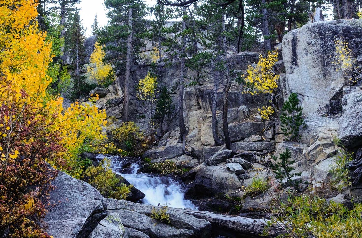 Drought Status Update for California-Nevada
NIDIS and its partners will issue future drought status updates as conditions evolve. Water Year 2026 Recap: Near-Normal Precipitation and a Warm Water Year Caused Mixed Drought Conditions This update is based on data…
Air quality
Air quality is satisfactory, and air pollution poses little or no risk.
Forecast
- ThuGood
- FriGood
- SatGood
Elko, NV reporting area · 1 hr ago. Data from AirNow (EPA and its state, local and tribal partners); preliminary and subject to change.
Sun & moon
Almanac
MonthlyElko Regional Airport, records since 1890. Normals 1991–2020. Data from NOAA's Regional Climate Centers (ACIS).
Nearby
- Elko 32 km
- Spring Creek 44 km
Forecasters' discussion
From the National Weather Service office in LKN, issued 20 hrs ago
Key Messages
* Periods of valley rain and mountain snow continue thru Friday.
* Thunderstorms will be present this afternoon and evening. A few may be severe.
* Much cooler Friday and Friday night, followed by a modest warming trend and dry weather thru Monday.
Discussion
(Today through next Thursday)
WEATHER PATTERN OVERVIEW: Upper level closed low continues to progress east and into the intermountain west today while concurrently weakening, opening into a deep upper level trof. The trof axis is still projected to be situated over Nevada by tonight after midnight. Moisture continues to be advected into the Great Basin today from the south. Rain showers and thunderstorms will become more prevalent as the morning progresses and activity increases from the southwest in conjunction with the upper level trof moving into the intermountain west, providing additional dynamical forcing to aid in shower and thunderstorm production. Showers and thunderstorms continue thru most of tonight. A few thunderstorms may become severe this afternoon and evening, primarily across the eastern half of the forecast area. The Storm Prediction Center has issued a marginal risk of severe thunderstorms including northeast Nye and White Pine counties, as well as portions of Elko County. Showers will continue through the day Friday, though activity will dissipate from west to east as the upper level trof continues to progress east into Utah. Snow levels lower from around 10,000 feet to around 6,000 to 7,000 feet early Friday morning as cooler air moves into Nevada from the northwest. Significant valley snow accumulation is not expected and a few locales along the Idaho and Oregon borders may see less than an inch of accumulation. Storm total liquid equivalent precipitation accumulation for the four day period that began Tuesday and runs thru Friday is still between one quarter and three quarters of an inch. The high elevations look to reach one inch or more, much of which will fall as snow above 10,000 feet.
The upper level trof is indicated to split into a closed low as reinforcing energy advects south from the PacNW along the upstream side of the trof. The closed low will form over SoCal and western Arizona by Saturday morning while the remainder of the trof itself progresses to the northeast and into Montana. An upper level ridge and high pressure look to reside offshore of the west coast. All that to say weather will be generally fair beginning Saturday and thru the middle of next week. There is potential for light precipitation in the Monday/Monday night timeframe as a weak cold front moves thru the PacNW and clips northern Nevada, though based on the current modeled trajectory of this weak system, will be maintaining dry condtions in the forecast at this time.
Friday and Saturday nights will be the coldest of the forecast period, with widespread lows in the 20s across the area. Mid to upper teens can be expected in the typical colder valleys, especially Saturday night under clearer skies and light to calm winds. A modest warming trend will be present thru the weekend and into Monday, though temperatures remain cool and more seasonal next week.
FORECAST CONFIDENCE & DEVIATIONS: There is high confidence for showers and thunderstorms today and tomorrow with the majority of the activity occurring today.
There is high confidence in the return of fair weather Saturday though moderate confidence in the potential for precipitaton along the OR/ID borders on Monday/Monday night.
Aviation
Periods of SHRA and/or VCSH continue at all terminals thru at least Thursday night as active weather persists across the region thru Friday. An increase in shower activity is expected this morning as an upper level trof moves into the Great Basin. Stronger and more consistent showers will move in from the southwest as the day progresses. CIGS are generally expected to remain within VFR category though may lower into MVFR category for brief periods as stronger showers move on terminal. Reductions in VIS due to SHRA on terminal may also produce periods of MVFR. TS and/or VCTS may also impact terminals this afternoon and evening as thunderstorms will be present across the forecast area. Additionally, there is a marginal risk for severe thunderstorms, defined as being capable of producing one inch hail and wind gusts of 58 mph or greater, at KELY, KENV, and KEKO as per the Storm Prediction Center severe weather outlook for today and tonight. Breezy to locally windy conditions will be present across the area this afternoon and evening under generally south winds. Gusts around 25KT to 30KT are forecast. Winds begin to shift northwesterly in northwest Nevada later tonight as the afore mentioned trof progresses into the Great Basin.
Fire Weather
Upper level system continues to slowly move into the Great Basin from the west today, bringing rain showers, thunderstorms, and mountain snow to all FWZs. An increase in shower activity is expected this morning in conjunction with the system and main band of energy progressing into the Great Basin. Stronger and more consistent showers will move in from the southwest as the day progresses. The Storm Prediction Center maintains a marginal risk for severe thunderstorms this afternoon and evening, primarily within FWZs 425, 469, and 470. Severe thunderstorms are defined as being capable of producing one inch hail and strong and erratic wind gusts of 58 mph or greater. Frequent cloud to ground lightning will also be present under any severe storms. Showers and thunderstorms begin to dissipate from west to east Friday, eventually exiting Nevada Friday night. Widespread wetting rains are still expected over the four day period that began Tuesday and runs thru Friday with 0.25 inches to 0.75 inches of rainfall forecast across all FWZs. Liquid equivalent accumulations of an inch or more are expected across the high terrain. Most of this precipitaton is still expected to fall today. Breezy to locally windy conditions under a generally south wind will also be present today, and gusts as high as 30-40 mph are expected. Winds begin to shift northwesterly later tonight, beginning in northwest Nevada as the afore mentioned upper level system moves into the Great Basin. Wind shift continues thru Friday morning with north- northwesterly winds widespread across the forecast area by Friday afternoon. Much cooler temperatures will be in place by Friday though a modest warming trend will take place thru the weekend with dry and fair weather also present. Weather remains fair into early next week with a low chance for light precipitaton along the OR/ID border on Monday/Monday night. However given the low potential for precip, will be maintaining a dry forecast thru the middle of next week at this time.
Forecasts, observations and alerts in the United States come from the National Weather Service (NOAA); radar from NOAA's Multi-Radar Multi-Sensor system; satellite imagery from NASA's Global Imagery Browse Services (GIBS) and NOAA's GOES satellites; the map from the U.S. Geological Survey's National Map; air quality from AirNow (EPA and its partners); hurricane information from the National Hurricane Center; climate normals and records from NOAA's Regional Climate Centers (ACIS). Forecasts outside the United States and the UV index: MET Norway (CC BY 4.0); observations outside the U.S.: airport reports via NOAA's Aviation Weather Center. Place names: GeoNames (CC BY 4.0). Data are copied on a schedule and may lag the sources; for warnings that affect your safety, follow your local National Weather Service office and emergency officials. Weather news is drawn from the 4Search index and reflects what the press published. Terms of use.