Install
Navajo, NM Weather
Current conditions
Observed at Window Rock, Window Rock Airport · 47 min ago
Forecast
10-day-
Sunday Night
Partly cloudy, with a low around 36.
-
Monday
Mostly sunny, with a high near 56.
National Weather Service forecast updated 6 days ago.
Hourly
Hourly forecast- Now38°
- 3 AM37°
- 4 AM36°
- 5 AM36°
- 6 AM36°
- 7 AM36°
- 8 AM38°
- 9 AM40°
- 10 AM44°
- 11 AM48°
- 12 PM52°12%
- 1 PM54°12%
- 2 PM56°12%
- 3 PM56°12%
10-day forecast
Details- TonightOct 19Mostly Clear42°
- TueOct 20Mostly Sunny26%47°65°
- WedOct 21Showers And Thunderstorms Likely91%46°64°
- ThuOct 22Showers And Thunderstorms99%42°59°
- FriOct 23Slight Chance Rain Showers then Mostly Sunny17%36°56°
- SatOct 24Mostly Sunny then Slight Chance Showers And Thunderstorms19%35°53°
- SunOct 25Sunny10%36°55°
- TodayOct 26Mostly Sunny12%56°
- TueOct 27Sunny36°60°
- WedOct 28Partly cloudy38°61°
Days after the National Weather Service's seven are MET Norway's outlook, a computer model with no forecaster's review.
Radar
Full mapWeather news near Navajo
More weather news-
 Millions Will Turn Their Clocks Back This Weekend — Here’s When
When do the clocks change? Daylight saving time ends this weekend across most of the U.S. and Canada, giving millions an extra hour overnight — and bringing sunrise and sunset an hour earlier. At 2 a.m. local daylight…
-
 Daylight Saving Time 2026 ending: Americans to turn their clocks back one hour on November 1 - All you need to know
The citizens of the United States will adjust their clock backward by one hour on November 1, 2026, marking the conclusion of daylight saving time across the majority of the nation. However, the legislative body has not…
-
 MOST ACCURATE FORECAST: Tornado Watch for much of Arizona
PHOENIX — A powerful fall storm is moving through Arizona. Strong to severe storms are impacting parts of the state again Thursday. The storm threat shifts into eastern Arizona this afternoon before clearing out…
-
 Majority of Arizona under tornado watch as severe weather threat continues
PHOENIX (AZFamily) — A tornado warning has been issued for the Show Low area until 5:15 p.m. on Thursday afternoon. A tornado watch remains in effect for northern and eastern Arizona through 9 p.m. tonight. This…
-
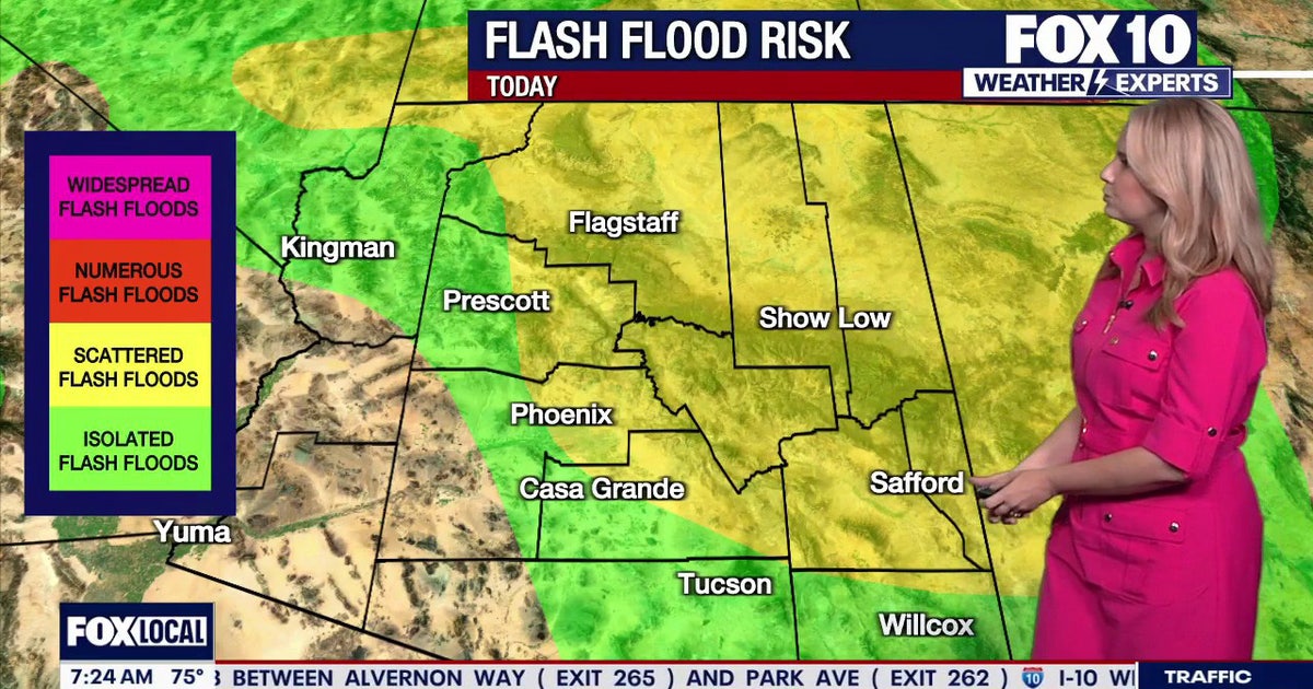 Arizona weather forecast: Thunderstorms, hail, and flood warnings hit the state
Severe thunderstorms push across Arizona, bringing hail, high winds, and flood risks before clearing on Thursday afternoon. PHOENIX - Showers are approaching Tempe as rain starts to fire off across Arizona. Tempe sits…
-
 Arizona tornado warnings issued with more severe weather expected
PHOENIX (AZFamily) — While no tornadoes have been confirmed in Arizona, at least nine tornado warnings have been issued Thursday in the state. The National Weather Service issued the latest tornado warning for areas of…
-
 Severe Tornado Warning Issued in Arizona as Conditions Intensify
A Tornado Warning was issued for Coconino County in north central Arizona on Wednesday morning, and a Tornado Watch is in effect for northern and central Arizona until 6 p.m. MST. NWS Flagstaff issued the warning at…
-
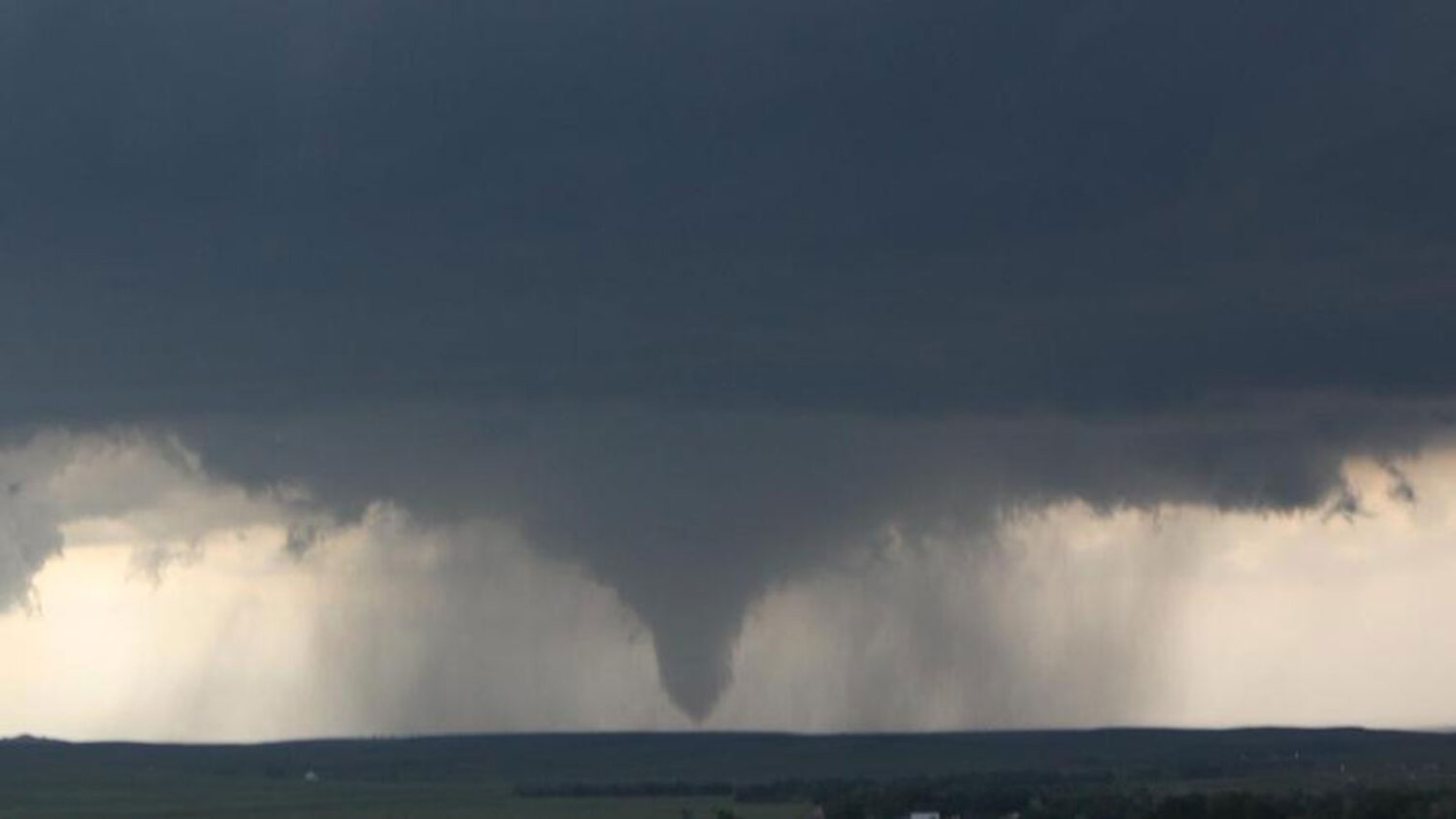 Tornado watch in effect for northern half of Arizona
More than 675,000 residents in Mohave, Coconino, Yavapai and Navajo counties are covered by the National Weather Service alert until 6 p.m. Wednesday. The National Weather Service issued several tornado warnings…
- Severe weather chances increase in Arizona, with hail, tornado risks
Forecasts for the storms coming to Arizona have taken a more severe turn ahead of their arrival on Wednesday, Oct. 21. Recent updates from the Storm Prediction Center increased the threat level in the state up to an…
-
 Daylight Savings Time 2026: When do the clocks fall back?
The second US time change of 2026 is approaching, but millions of Americans will not need to adjust their clocks. The second time change of 2026 in the United States is approaching, as daylight saving time will soon…
Sun & moon
Almanac
MonthlyWindow Rock Airport, records since 1998. Normals 1991–2020. Data from NOAA's Regional Climate Centers (ACIS).
Nearby
- Gallup 49 km
- Chinle 55 km
- Fort Defiance 18 km
- Window Rock 24 km
Forecasters' discussion
From the National Weather Service office in ABQ, issued 2 hrs ago
Key Messages
Issued at 1136 PM MDT Sun Oct 25 2026
- A few storms may again turn severe over east-central and southeast areas through tonight. Large hail and damaging winds will be the main threats, with a lower risk of an isolated tornado.
- River flooding will continue over parts of central and northwest New Mexico.
- Moderate to locally heavy rainfall will return along and east of the central mountain chain through tonight, but the risk of flash flooding will extend westward to the continental divide of northwest New Mexico, and the West Central Highlands, due to saturated soil there.
Short Term
(This evening through Monday night) Issued at 1251 PM MDT Sun Oct 25 2026
A double-lobed low pressure system remains upstream of NM with one vorticity lobe over UT and the southern one in AZ. The latter will fill in some and lift northeastward across NM through the late afternoon, helping to spawn more showers and thunderstorms over central and eastern sections of our forecast area. PWATs have reduced to 0.3 to 0.5 inch over much of western NM, and storms will consequently be harder, but not impossible, to come by along and west of the Continental Divide. Much of central to eastern NM still hosts 30-50 kt of 0-6 km bulk shear, plenty for a few strong to severe cells. Instability will be highest this afternoon in the south central to southeastern zones with 1000-1750 J/kg of MUCAPE modeled, but some capping and low layer inhibition could keep this from fully being exploited. Portions of central to north central NM are still soggy from previous days' rainfall, so the Flash Flood Watch will be retained there, as just another 0.5 to 1.0 inch could cause problems in a few locales. The Flash Flood Watch was also expanded to portions of the Pecos valley. Confidence is lower (50-60% chance of flooding) in this eastern segment of the Watch, but this area did receive 1.0-2.5 inches overnight, saturating the soils. Storms will transition toward the eastern half of the forecast area late this evening and overnight with a concentration of storms depicted by the REFS in northeastern NM where some 1-2 inch rainfall totals are depicted through Monday morning. These northeastern zones have not received as much rain yet, so they were left out of the Flash Flood Watch for now. Overnight low temperatures will be a few to several degrees cooler tonight, particularly in western to north central zones where more clearing will occur, and isolated patches of ground fog will develop in low valleys and over areas of standing water.
The remnants of the upper low will lift northeastward into the central plains on Monday, leaving behind much lighter westerlies aloft. Western and central areas of NM will continue to dry out, but another shortwave trough will lift out of Mexico into the the permian basin of west TX and southeast NM. This will keep PWATs higher over our southeastern zones (0.8 to 1.0 inch) with additional showers and thunderstorms developing southeast of a Carrizozo to Santa Rosa to Clayton line on Monday. With less momentum aloft, the bulk shear will lower enough to inhibit any storms from turning severe, and storm motions will turn much slower. High temperatures will gain a couple to a few degrees, running near to slightly below normal Monday afternoon.
Long Term
(Tuesday through Saturday) Issued at 1251 PM MDT Sun Oct 25 2026
A few straggling light showers may linger into Tuesday morning across southeastern zones, but otherwise light west southwest flow aloft looks to continue into Tuesday and Wednesday with a slow cessation of showers and storms. Low layer moisture will try to hang on in southeastern zones with dewpoints modeled to stay in the 40's and 50's there, but elsewhere readings will reduce. High temperatures will trend closer to normal on Tuesday, inching slightly above on Wednesday.
Into Wednesday night, there is potential for the low layer southeasterly return flow to advect moisture a bit farther into the forecast area. This could be enhanced or work in tandem with another shortwave trough coming out of Chihuahua, possibly leading to showers and thunderstorms over south central to southeastern zones Thursday. A gradual and subtle increase in PWATs (only 0.5 to 0.8 inch) will lead to broadening coverage of showers and storms through Friday before retreating under more subsident flow on Saturday. All eyes will then be focused on the next upstream Pacific Northwest low that will move inland on Sunday. There are uncertainties with the eastward progression of the main low among deterministic models, and it should also be noted that a strengthening of the subtropical jet is indicated, potentially leading to an ingest of more subtropical moisture that could lead to a more active stretch of weather Sunday through Monday. Precipitation would be more transient with the upper low staying in quick propagation due to the polar and subtropical jet tethering.
Aviation
(06Z TAFS) Issued at 1136 PM MDT Sun Oct 25 2026
Scattered to numerous showers and thunderstorms will continue over the eastern plains and south central mountains for the remainder of tonight. Showers and storms will then linger over far east central areas until mid morning Monday. Monday afternoon and night scattered showers and thunderstorms will then return to the south central mountains, southeast plains, and east central plains. Otherwise, widespread MVFR and IFR conditions in low clouds will continue east of the central mountain chain for the remainder of tonight until mid morning Monday, except into the afternoon in some east central and southeast locations. Along and west of the central mountain chain, patchy fog will impact many locations for the remainder of the night until mid morning Monday, including KGUP.
Forecasts, observations and alerts in the United States come from the National Weather Service (NOAA); radar from NOAA's Multi-Radar Multi-Sensor system; satellite imagery from NASA's Global Imagery Browse Services (GIBS) and NOAA's GOES satellites; the map from the U.S. Geological Survey's National Map; air quality from AirNow (EPA and its partners); hurricane information from the National Hurricane Center; climate normals and records from NOAA's Regional Climate Centers (ACIS). Forecasts outside the United States and the UV index: MET Norway (CC BY 4.0); observations outside the U.S.: airport reports via NOAA's Aviation Weather Center. Place names: GeoNames (CC BY 4.0). Data are copied on a schedule and may lag the sources; for warnings that affect your safety, follow your local National Weather Service office and emergency officials. Weather news is drawn from the 4Search index and reflects what the press published. Terms of use. How to use Weather