Install
Lee, NH Weather
Current conditions
Forecast for this hour (no station report in the last two hours)
Forecast
10-day-
Tonight
Mostly clear, with a low around 28. North wind around 0 mph.
-
Saturday
Sunny, with a high near 58. Northwest wind around 0 mph.
-
Saturday Night
Clear, with a low around 28. West wind around 0 mph.
National Weather Service forecast updated 18 hrs ago.
Hourly
Hourly forecast- Now42°
- 10 PM41°
- 11 PM39°
- Sat12 AM37°
- 1 AM36°
- 2 AM34°
- 3 AM33°
- 4 AM31°
- 5 AM30°
- 6 AM28°
- 7 AM28°
- 8 AM34°
- 9 AM39°
- 10 AM45°
- 11 AM50°
- 12 PM53°
- 1 PM56°
- 2 PM58°
- 3 PM58°
- 4 PM58°
- 5 PM56°
- 6 PM51°
- 7 PM47°
- 8 PM40°
10-day forecast
Details- TodayOct 23Sunny28°55°
- SatOct 24Sunny28°58°
- SunOct 25Sunny35°63°
- MonOct 26Sunny36°67°
- TueOct 27Sunny28°54°
- WedOct 28Sunny31°53°
- ThuOct 29Mostly Sunny38°58°
- FriOct 30Sunny40°62°
- SatOct 31Sunny33°52°
- SunNov 1Sunny32°56°
Days after the National Weather Service's seven are MET Norway's outlook, a computer model with no forecaster's review.
Radar
Full mapWeather news near Lee
More weather news-
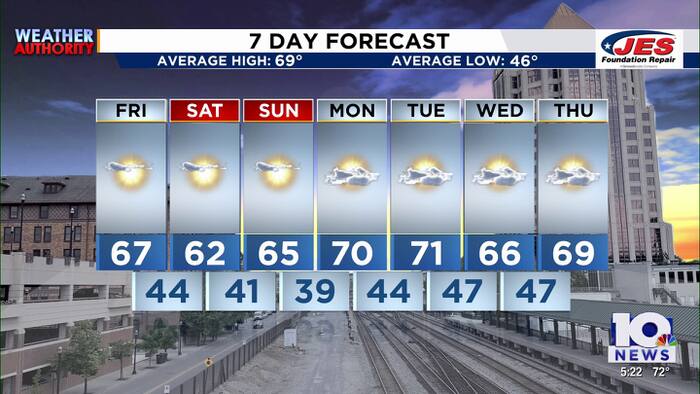 Southwest, Central Virginia Weather | 5 p.m. - Oct. 22, 2026
WSLS Southwest, Central Virginia Weather | 5 p.m. - Oct. 22, 2026 Here is a look at your Thursday evening forecast. Roanoke City Council Race Preview Washington & Lee Student released from ICE Custody ‘Home is not home…
-
 First Alert Weather: Mild afternoons before weekend local nor’easter
Here's what the First Alert Weather Team said you can expect in the forecast: This evening will be dry and clear. Tomorrow morning, temperatures will drop to the lower to mid-50s around Jacksonville and upper 60s along…
-
 Sunshine Continues With Chilly Mornings and Warm Afternoons
Chilly 40s mornings and warm 70s afternoons continue with sunshine through the weekend. Expect a light breeze Friday then gusty winds at times this weekend with no rain in sight. Highs ease back to the mid 70s Friday…
- Menacing Dust Storm Captured Over Broken Hill as January’s Photo of the Month
At SSBCrack News, our dedicated editorial team brings you the latest and most reliable updates on Defence, Geopolitics, Military Affairs, Science, and Technology. Driven by a passion for national security and strategic…
-
 Sonora, Tioga passes to close due to incoming storm
KOLO | 8 News Now MONO COUNTY, California (KOLO) - Sonora and Tioga passes in Mono County are set to close due to an incoming storm. Caltrans says the passes will close on Wednesday due to a storm that is expected to…
-
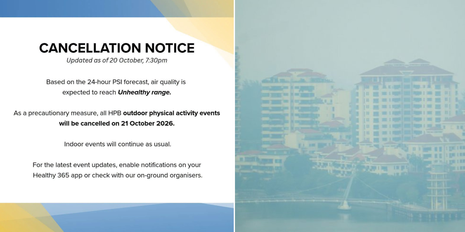 Health Promotion Board releases haze advisory, outdoor events to be cancelled if necessary
Health Latest News Singapore Physical activity events held outdoors were cancelled on 21 Oct as the PSI breached the Unhealthy range. By Rochelle Lee - 21 Oct 2026, 11:02 am On Tuesday (20 Oct), the Health Promotion…
- California-Nevada Border Weather Alert: Up to 10 Inches of Heavy Mountain Snow Oct. 21-22
By Country Herald Staff, Sierra Nevada, CA – Winter weather advisories have been issued across California's Sierra Nevada near the Nevada border, with up to 10 inches of mountain snow possible Wednesday, October 21…
-
 Super El Niño 2026: Moving in the Winter in Cleveland
Northeast Ohio may be heading into a winter unlike any most residents have lived through. In its September 10 update, NOAA's Climate Prediction Center said El Niño is strengthening, with a greater than 90% chance of a…
-
 Glorious fall weather on tap throughout coming week in Central Plains
With just over 10 weeks left in 2026, it would be a shame to waste the next few days indoors as Omaha's weather forecast calls for glorious sunshine and above-normal temperatures. A fan salutes during the national…
-
 Weather: Sunny week in Baltimore, with big waves at the beach
WBAL News Radio Weather: Sunny week in Baltimore, with big waves at the beach Meteorologist Alena Lee describes frost advisories will go in effect until 9AM; sunny and seasonable Monday afternoon. It will be sunny this…
Air quality
Air quality is satisfactory, and air pollution poses little or no risk.
Forecast
- FriGood
- SatGood
- SunGood
Coastal Rockingham County, NH reporting area · 1 hr ago. Data from AirNow (EPA and its state, local and tribal partners); preliminary and subject to change.
Sun & moon
Almanac
MonthlyMassabesic Lake, records since 1942. Normals 1991–2020. Data from NOAA's Regional Climate Centers (ACIS).
Nearby
- Lowell 60 km
- Manchester 39 km
- Nashua 54 km
- Lawrence 48 km
- Haverhill 39 km
- Methuen 46 km
- Concord 44 km
- East Concord 45 km
- Derry Village 35 km
- Dover 14 km
- Rochester 20 km
- Salem 40 km
Forecasters' discussion
From the National Weather Service office in GYX, issued 55 min ago
What Has Changed
No significant changes to the forecast with this update.
Key Messages
1. Cold tonight with lows in the teens and 20s. High pressure continues dry weather fore the foreseeable future.
Discussion
KEY MESSAGE 1 DESCRIPTION...
High pressure cresting overhead will provide optimal radiational cooling conditions tonight with lows dropping into the 20s and teens. Temperatures rebounds into the 50s to low 60s Saturday under sunny skies. Saturday night will not be as cold as tonight while most spots drop into the 20s. Temperatures warm Sunday into Monday as the high shifts offshore. A dry cold front crosses late Monday with another cool Canadian high pressure settling over the area for much of next week. Ensembles show little in the way of precipitation chances through the end of the month with the next signal for precipitation arriving around November 1st.
Aviation
Through Saturday: VFR expected through Saturday.
Outlook...
Saturday night-Wednesday...VFR prevails under high pressure. This should lead to light diurnal wind patterns.
Forecasts, observations and alerts in the United States come from the National Weather Service (NOAA); radar from NOAA's Multi-Radar Multi-Sensor system; satellite imagery from NASA's Global Imagery Browse Services (GIBS) and NOAA's GOES satellites; the map from the U.S. Geological Survey's National Map; air quality from AirNow (EPA and its partners); hurricane information from the National Hurricane Center; climate normals and records from NOAA's Regional Climate Centers (ACIS). Forecasts outside the United States and the UV index: MET Norway (CC BY 4.0); observations outside the U.S.: airport reports via NOAA's Aviation Weather Center. Place names: GeoNames (CC BY 4.0). Data are copied on a schedule and may lag the sources; for warnings that affect your safety, follow your local National Weather Service office and emergency officials. Weather news is drawn from the 4Search index and reflects what the press published. Terms of use.