Install
Towner, ND Weather
Current conditions
Observed at Minot International Airport · 24 min ago
Forecast
10-day-
Tonight
Mostly clear. Low around 35, with temperatures rising to around 38 overnight. North wind 2 to 6 mph.
-
Wednesday
Sunny. High near 60, with temperatures falling to around 58 in the afternoon. East wind 3 to 7 mph.
-
Wednesday Night
Mostly clear, with a low around 40. Southeast wind 5 to 9 mph, with gusts as high as 18 mph.
National Weather Service forecast updated 17 hrs ago.
Hourly
Hourly forecast- Now46°
- Wed12 AM44°
- 1 AM44°
- 2 AM43°
- 3 AM40°
- 4 AM39°
- 5 AM38°
- 6 AM37°
- 7 AM36°
- 8 AM35°
- 9 AM37°
- 10 AM41°
- 11 AM46°
- 12 PM50°
- 1 PM53°
- 2 PM56°
- 3 PM58°
- 4 PM59°
- 5 PM58°
- 6 PM56°
- 7 PM50°
- 8 PM47°
- 9 PM46°
- 10 PM45°
10-day forecast
Details- TodayOct 20Sunny35°66°
- WedOct 21Sunny40°60°
- ThuOct 22Sunny52°69°
- FriOct 23Chance Rain Showers47%45°67°
- SatOct 24Slight Chance Rain Showers then Partly Sunny18%31°52°
- SunOct 25Mostly Sunny28°47°
- MonOct 26Partly Sunny11%28°43°
- TueOct 27Sunny28°50°
- WedOct 28Sunny29°48°
- ThuOct 29Partly cloudy28°40°
Days after the National Weather Service's seven are MET Norway's outlook, a computer model with no forecaster's review.
Radar
Full mapWeather news near Towner
More weather news-
 Thanksgiving Weather Forecast 2026: What to Expect Across the U.S.
Thanksgiving is a time for family, food, gratitude—and for many Americans, travel. Whether you’re driving across town or flying across the country, the weather can shape your plans in a big way. So what does the…
- Weather Today
Weather Forecast and Conditions for Irish Town, Magalia, California - The Weather Channel | Weather.com The Weather Channel Irish Town, Magalia, California Irish Town Daily Forecast
-
 Penetanguishene crews begin winter maintenance training
Penetanguishene residents may see snowplows and sidewalk maintenance equipment operating across town over the coming weeks as municipal crews prepare for winter. The Town of Penetanguishene began its annual winter…
-
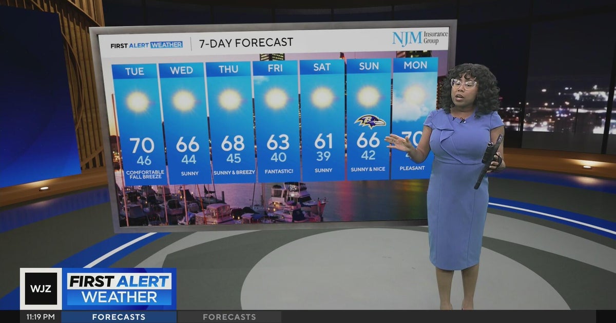 Cool, nice, breezy weather continues in Maryland
CBS News Cool, nice, breezy weather continues in Maryland 1 killed in triple shooting near NW Baltimore gas station Ravens will try to bounce back after disappointing loss in Cleveland | Purple Connection Baltimore…
-
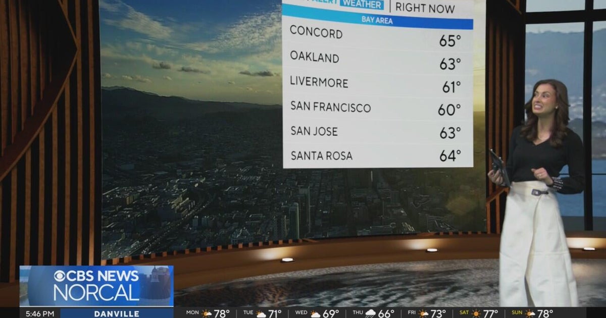 First Alert Weather Monday evening forecast 10-19-26
CBS News Bay Area is a local news organization that is part of CBS News and Stations. Also referred to as KPIX-TV and channel 5, CBS News Bay Area offers local breaking news, weather coverage and investigative…
-
 MA Current Conditions
Herald and News - Manage Subscription (Pay Your Bill, Vacation Request, Update Account Info) MA Current Conditions as of 01:01 AM EDT Tuesday, October 20, 2026 City/Town;Weather Condition;Temp (F);Wind Direction;Wind…
-
 Doug Iverson's Storm Tracker Forecast | Monday, October 19
KPVI Warmer-than-usual temperatures continue, but sunshine takes a step back. STUDENT'S ALLEGED GUN THREAT AFFECTS LOCAL SCHOOLS Low Water Levels Reveal Original American Falls Town Site Local Man Was Arrested in Bar…
-
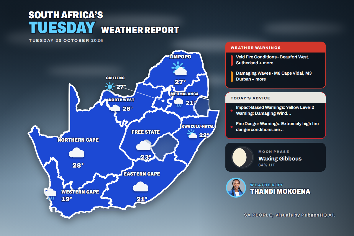 Here is today’s weather by province: Damaging waves expected along the KwaZulu-Natal coast today
Home » Here is today’s weather by province: Damaging waves expected along the KwaZulu-Natal coast today Mahikeng swings from a chilly 6°C at dawn to the country’s warmest reading of 28°C, while Cape Town tops out at…
-
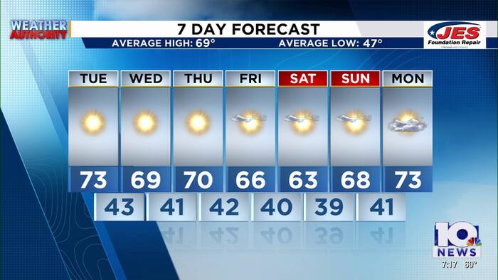 Southwest, Central Virginia Weather | 7 p.m. - Oct. 19, 2026
WSLS Southwest, Central Virginia Weather | 7 p.m. - Oct. 19, 2026 Here's a look at your forecast! Raleigh Court Library Zine Club Helps Teens Get Creative Longtime Q99 morning host David Page announces retirement after…
-
 Southwest, Central Virginia Weather | 5 p.m. - Oct. 19, 2026
WSLS Southwest, Central Virginia Weather | 5 p.m. - Oct. 19, 2026 Here's a look at your forecast! Raleigh Court Library Zine Club Helps Teens Get Creative Longtime Q99 morning host David Page announces retirement after…
Sun & moon
Nearby
Forecasters' discussion
From the National Weather Service office in BIS, issued 1 hr ago
Key Messages
- Above normal temperatures are forecast through the work week, then much cooler temperatures this weekend. Near record highs possible Thursday and Friday.
- Dry conditions through Thursday, then low to medium chances for showers Friday into Saturday.
- Breezy to windy Friday and Saturday.
Update
Issued at 958 PM CDT Tue Oct 20 2026
The weak front have moved through most of the state turning the winds to northerly. Other than that, quiet weather continues across the region. No updates are needed at this time as the forecast remains on track.
UPDATE Issued at 602 PM CDT Tue Oct 20 2026
Quiet weather continues across the region. No updates are need at this time as temperatures 60s to lower 70s with a weak front bringing a windshift.
Discussion
Issued at 237 PM CDT Tue Oct 20 2026
Weak cold front will continue to push across the state through tonight. As a result cooler temperatures will return tonight, with a steady north wind. Given track of a surface high tonight and clear skies, blended in NBM 10th percentile. Near to slightly below freezing temperatures will be found for some areas, mainly in the northwest closer to the surface high. Humidity values may also increased tonight. Some patchy fog is possible, especially in the north and west where winds are expected to go light from the mentioned surface high. Confidence was not high enough to include in the forecast at this time. Weak ridging builds back in Wednesday, while the surface high moves east. Behind tonight's front could be slightly cooler, yet still above normal, highs for Wednesday in the 60s. As the surface high moves east winds will become easterly to southerly. Given this mixing blended NBM with NBM 90th percentile which brings slightly higher temperatures. Mainly dry and clear conditions are also expected for Wednesday. A steady south wind and southwest flow aloft will bring mild and dry conditions Wednesday night. Look for lows in the 40s. Increased dewpoints from this south wind could also bring some higher RH values Wednesday night. Perhaps more patchy fog is possible then, although the mentioned increased winds and overall dry state of the atmosphere should limit this threat.
Thursday and Friday see southwest flow aloft ahead of a larger upper level wave, and developing surface low. Expect very warm conditions from this pattern both Thursday and Friday. Given ample mixing from southerly flow, continued blending in NBM with NBM90th for high temperatures. This brings highs in the 70s and low 80s each day. Some sites with highs near 80 would approach record highs for this time of year. ECMWF EFI values for MaxT on Friday are elevated showing this potential. Surface low encroaches on the state Friday which could make for some breezier southerly winds. Very warm temperatures could lower RH values enough for some near critical fire weather conditions with these breezy southerly winds. Increasing RH is the limiting factor for this potential thus will continue to monitor. Lifting warm front with this surface low could also bring some isolated showers and perhaps thunderstorms Friday. CSU-MLP showing some low probability for isolated severe storms with this front. Shear looks adequate for severe weather, although instability is limited.
Strong cold front then moves through sometime later Friday or early Saturday. This could bring another isolated to scattered chances for showers and thunderstorms. Much cooler temperatures and breezy to windy conditions will then be found for Saturday. Perhaps some fire weather concerns will linger into Saturday, although cooler temperatures should help limit this. Cooler temperatures then look to remain Saturday nigh with lows in the 20s. Sunday remains cool with less wind. Expect dry conditions as well on Sunday.
Aviation
Issued at 602 PM CDT Tue Oct 20 2026
VFR conditions will continue across the region through the period. A weak front will switch winds from southerly to northerly tonight. However, winds will shift back out of the south tomorrow afternoon.
Forecasts, observations and alerts in the United States come from the National Weather Service (NOAA); radar from NOAA's Multi-Radar Multi-Sensor system; satellite imagery from NASA's Global Imagery Browse Services (GIBS) and NOAA's GOES satellites; the map from the U.S. Geological Survey's National Map; air quality from AirNow (EPA and its partners); hurricane information from the National Hurricane Center; climate normals and records from NOAA's Regional Climate Centers (ACIS). Forecasts outside the United States and the UV index: MET Norway (CC BY 4.0); observations outside the U.S.: airport reports via NOAA's Aviation Weather Center. Place names: GeoNames (CC BY 4.0). Data are copied on a schedule and may lag the sources; for warnings that affect your safety, follow your local National Weather Service office and emergency officials. Weather news is drawn from the 4Search index and reflects what the press published. Terms of use.