Install
Oakes, ND Weather
Current conditions
Forecast for this hour (no station report in the last two hours)
Forecast
10-day-
Tuesday
Sunny, with a high near 70. South wind 9 to 15 mph, with gusts as high as 24 mph.
-
Tuesday Night
Mostly clear. Low around 42, with temperatures rising to around 45 overnight. Southwest wind 2 to 9 mph.
-
Wednesday
Sunny, with a high near 65. North wind 5 to 10 mph.
National Weather Service forecast updated 1 hr ago.
Hourly
Hourly forecast- Now36°
- 7 AM36°
- 8 AM39°
- 9 AM45°
- 10 AM50°
- 11 AM56°
- 12 PM60°
- 1 PM64°
- 2 PM67°
- 3 PM69°
- 4 PM70°
- 5 PM69°
- 6 PM67°
- 7 PM62°
- 8 PM56°
- 9 PM53°
- 10 PM52°
- 11 PM51°
- Wed12 AM49°
- 1 AM48°
- 2 AM47°
- 3 AM47°
- 4 AM45°
- 5 AM45°
10-day forecast
Details- TonightOct 19Clear32°
- TodayOct 20Sunny42°70°
- WedOct 21Sunny41°65°
- ThuOct 22Sunny12%54°74°
- FriOct 23Chance Showers And Thunderstorms48%52°72°
- SatOct 24Slight Chance Rain Showers16%38°61°
- SunOct 25Mostly Sunny32°54°
- MonOct 26Mostly Sunny12%50°
- TueOct 27Cloudy36°46°
- WedOct 28Mostly sunny37°55°
Days after the National Weather Service's seven are MET Norway's outlook, a computer model with no forecaster's review.
Radar
Full mapWeather news near Oakes
More weather news-
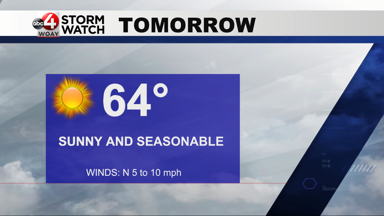 Nice weather this week
WOAY-TV OAK HILL, WV (WOAY) – It was a nearly perfect day around the region, with wall-to-wall sunshine and pleasant temperatures. It was a bit below normal this morning, but by this afternoon it wound up being back to…
-
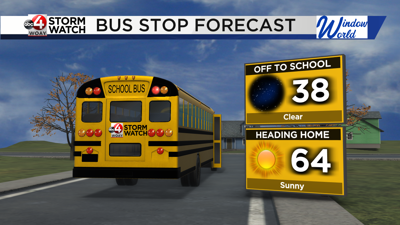 Frosty Morning; Stable Weather Pattern
High pressure takes over the weather pattern this week. Morning temperatures will consistently reach the upper 30s while afternoon highs stay seasonable. Dress warm for the morning before shedding layers in the…
-
 Mild Today and even Warmer the upcoming week.
5 EYEWITNESS NEWS Mild Today and even Warmer the upcoming week. The upcoming week of Weather in the Twin Cities will be Dry and Mild with above average temperatures Today through Saturday October 24. Average highs this…
- From Sweater to Sweat: Dallas Enjoys Crisp Weekend Before Near-90 Heat Roars Back
The National Weather Service says cooler and much drier air will remain in place through the weekend, with no meaningful rain expected. Saturday night will stay clear, and temperatures will dip to around 48 degrees…
- MWR Fort Worth has highlighted windy conditions ahead of Fall Fest.
A MWR Fort Worth Facebook post highlighted windy conditions around Fall Fest. The base employs more than 11,000 active-duty, reserve, guard and civilian personnel across over 40 joint tenant commands, generating an…
-
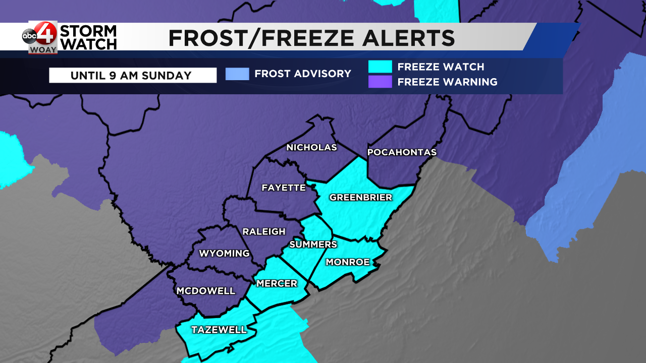 Weekend outlook: Cold and windy, but with plenty of sunshine
A few lingering showers are being seen as well on the radar, and some of these could be falling in the wintry form in the highest elevation portions of the area. For the Bridge Day festivities, we should be dry, but it…
-
 More vibrant fall colors are in the forecast this year in northeast Missouri
HANNIBAL (WGEM) - Fall color is just starting to show in northeast Missouri, but the Missouri Department of Conservation (MDC) expects a more vibrant season this year, with peak color still about two weeks away. MDC…
-
 Much colder weekend with a widespread frost/freeze Sunday (10/16/26)
WPXI 10th annual free dental and hearing clinic by Mission of Mercy Pittsburgh gets underway Pursuit ends in crash into Pittsburgh Police cruiser in Oakland Western Pennsylvania School for Blind Children community…
-
 Storms possible with strong wind gusts possible Friday
WPXI 10th annual free dental and hearing clinic by Mission of Mercy Pittsburgh gets underway Pursuit ends in crash into Pittsburgh Police cruiser in Oakland Western Pennsylvania School for Blind Children community…
-
 Leaves begin falling and flowers begin fading as winter approaches
More than 50% of the pretty fall leaves are on the ground with the winds and rain we had during the past week. The leaves were crunchy as I came down from the Stillwater Fire Tower last Sunday and the wind was still…
Sun & moon
Nearby
- Lisbon 46 km
Forecasters' discussion
From the National Weather Service office in BIS, issued 2 hrs ago
Key Messages
- Above normal temperatures are forecast through the work week, then much cooler temperatures this weekend.
- Dry conditions through Thursday, then low to medium chances for showers Friday into Saturday.
- Breezy to windy Friday and Saturday.
Discussion
Issued at 400 AM CDT Tue Oct 20 2026
Currently skies were mostly clear across western and central ND with a light southerly surface flow and temperatures in the upper 30s to mid 40s.
A quasi-zonal upper level flow will persist over the local area today. A weak, dry cold front will propagate through the upper flow turning our southerly winds this morning to a northerly surface flow, from west to east with the frontal passage. Even with the cold front passage, temperatures are forecast to be similar (northwest ND) or warmer (southwest and central) than yesterday. We did utilize a blend of NBM and NBM90 guidance to trend temperatures warmer. NBM ensemble guidance has been around 3 to 7 degrees warmer than our observed temperatures since late last week.
Wednesday through Friday upper level ridging builds over the central portion of the U.S. ahead of an upper level trough developing in the eastern Pacific. Wednesday is forecast to be a little cooler than today as high pressure builds over the area behind the cold front passage, but a southerly return flow is already developing over western ND by Wednesday afternoon. This will set the stage for a couple of unseasonably warm days on Thursday and Friday. As mentioned in the previous discussion, normal highs for this time of year are in the low to mid 50s, so temperatures will be approaching 20 degrees above normal. If our current trend of cooler than observed forecast high temperatures continues, which I suspect it may, Bismarck and Dickinson could see near record highs Thursday and Friday.
On Friday, the aforementioned upper trough over the eastern Pacific lifts into the Northern Rockies, with a surface low over eastern Montana/western North Dakota by 00Z Saturday. With a surge of warm advection ahead of the surface low, and with strong shear lifting into the area, an isolated elevated thunderstorm can not be ruled out on Friday. The CSU machine learning page indicated a threat for thunder on Friday. We'll see how this trends through the week. Friday night into Saturday as the surface low lifts north into Canada, we see a surge of cold advection. Breezy southerly winds Friday shift west to northwest Friday night, with breezy to windy conditions expected Friday night, and Saturday as the upper level system winds up to our north. At this time it looks like mainly light precipitation amounts from low to medium precipitation chances in North Dakota. The better precipitation amounts currently track from central Montana, northeast through Saskatchewan and into northern Manitoba. We could see low chance for showers on Friday then possibly some wrap around precipitation clipping the northwest Friday night.
Given the warm temperatures and breezy conditions Friday, will need to monitor fire weather concerns. Currently the return of moisture with dew point temperatures climbing into the mid 50s is keeping minimum humidities above 30 percent over southwest ND, with sustained southerly winds around 20 to 25 mph. Would not be surprised to see some lower minRH values in the southwest Friday afternoon as short range guidance extends into Friday. Saturday will also be breezy to windy, but with much cooler temperatures. However, being in the dry sector of the system over Canada, we could see windy conditions combined with low afternoon humidities.
Aviation
Issued at 1154 PM CDT Mon Oct 19 2026
VFR conditions are expected through the 06Z TAF period. LLWS will be tapering off early in the 06Z TAF period across the north but did include a few hours of LLWS to begin the period at KXWA and KMOT. Otherwise a light southerly surface flow overnight and into Tuesday morning. A weak dry cold front will push through the forecast area Tuesday into Tuesday evening. This will shift winds from southerly ahead of the front, to northerly behind the front. Only some mid and high clouds are expected with the front.
Bis Watches
None.
Forecasts, observations and alerts in the United States come from the National Weather Service (NOAA); radar from NOAA's Multi-Radar Multi-Sensor system; satellite imagery from NASA's Global Imagery Browse Services (GIBS) and NOAA's GOES satellites; the map from the U.S. Geological Survey's National Map; air quality from AirNow (EPA and its partners); hurricane information from the National Hurricane Center; climate normals and records from NOAA's Regional Climate Centers (ACIS). Forecasts outside the United States and the UV index: MET Norway (CC BY 4.0); observations outside the U.S.: airport reports via NOAA's Aviation Weather Center. Place names: GeoNames (CC BY 4.0). Data are copied on a schedule and may lag the sources; for warnings that affect your safety, follow your local National Weather Service office and emergency officials. Weather news is drawn from the 4Search index and reflects what the press published. Terms of use.