Install
Minnewaukan, ND Weather
Current conditions
Forecast for this hour (no station report in the last two hours)
Forecast
10-day-
Saturday
Mostly sunny, with a high near 50. West northwest wind 17 to 32 mph, with gusts as high as 45 mph.
-
Saturday Night
Mostly clear, with a low around 32. West wind 7 to 14 mph.
-
Sunday
Mostly sunny, with a high near 45. Northwest wind around 8 mph.
National Weather Service forecast updated 1 day ago.
Hourly
Hourly forecast- Now50°
- 4 PM49°
- 5 PM48°
- 6 PM45°
- 7 PM43°
- 8 PM41°
- 9 PM40°
- 10 PM39°
- 11 PM38°
- Sun12 AM38°
- 1 AM37°
- 2 AM36°
- 3 AM35°
- 4 AM34°
- 5 AM33°
- 6 AM32°
- 7 AM32°
- 8 AM33°
- 9 AM35°
- 10 AM37°
- 11 AM39°
- 12 PM42°
- 1 PM43°
- 2 PM44°
10-day forecast
Details- TonightOct 22Partly Cloudy then Chance Rain Showers10%53°
- FriOct 23Partly Sunny then Slight Chance T-storms17%45°73°
- TodayOct 24Mostly Sunny32°50°
- SunOct 25Mostly Sunny29°45°
- MonOct 26Mostly Sunny19%29°42°
- TueOct 27Chance Light Rain31%36°46°
- WedOct 28Chance Light Rain30%32°47°
- ThuOct 29Mostly Sunny45°
- FriOct 30Partly cloudy28°39°
- SatOct 31Partly cloudy28°36°
Days after the National Weather Service's seven are MET Norway's outlook, a computer model with no forecaster's review.
Radar
Full mapWeather news in North Dakota
More weather news-
 Fall temperatures trending warmer in North Dakota, meteorologist says overnight lows show biggest climb
Fall seasons in western and central North Dakota are getting warmer, and local meteorologists say the records prove it. BISMARCK, N.D. (KFYR) - Fall seasons in western and central North Dakota are getting warmer, and…
-
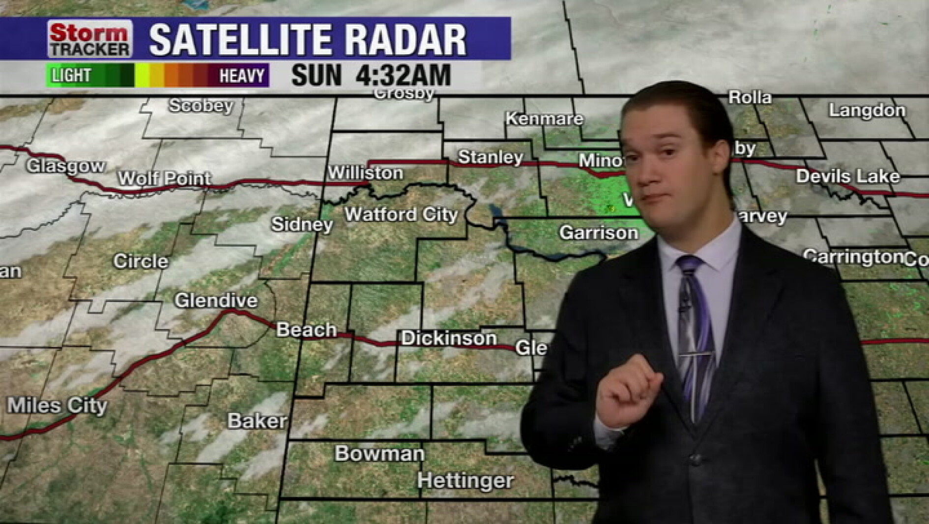 Mild fall weather continues across western North Dakota, even with a slight cool-down today
McKenzie County Farmer Mild fall weather continues across western North Dakota, even with a slight cool-down today
-
 Fall temperatures trending warmer in North Dakota
KFYR-TV Fall temperatures trending warmer in North Dakota Autumn Fest Parade brings music to downtown Bismarck, capitol grounds Hundreds welcome veterans home from Western ND Honor flight ND Today: Designer Genes: Walk…
- North Dakota Weather Today: 30 MPH Gusts Before 70° Sunday Oct 18
Grand Forks, ND – Residents across eastern North Dakota and northwestern Minnesota can expect an unusually pleasant stretch of fall weather this weekend, October 17-18, with sunshine, breezy conditions and temperatures…
-
 New maps reveal who could see more snow during this year’s super El Niño
This year’s potentially record-setting El Niño is expected to shape winter weather and snowfall across the US. A new CNN Weather analysis shows how snowfall has changed during El Niño winters, offering clues as to what…
-
 Storm Boelo brings disruption with the full force still to come
Lough Melvin in County Fermanagh being battered by Storm Boelo on Saturday Storm Boelo has brought gusts of more that 70mph (113kph) to the east coast of Northern Ireland on Saturday, with conditions due to worsen later…
-
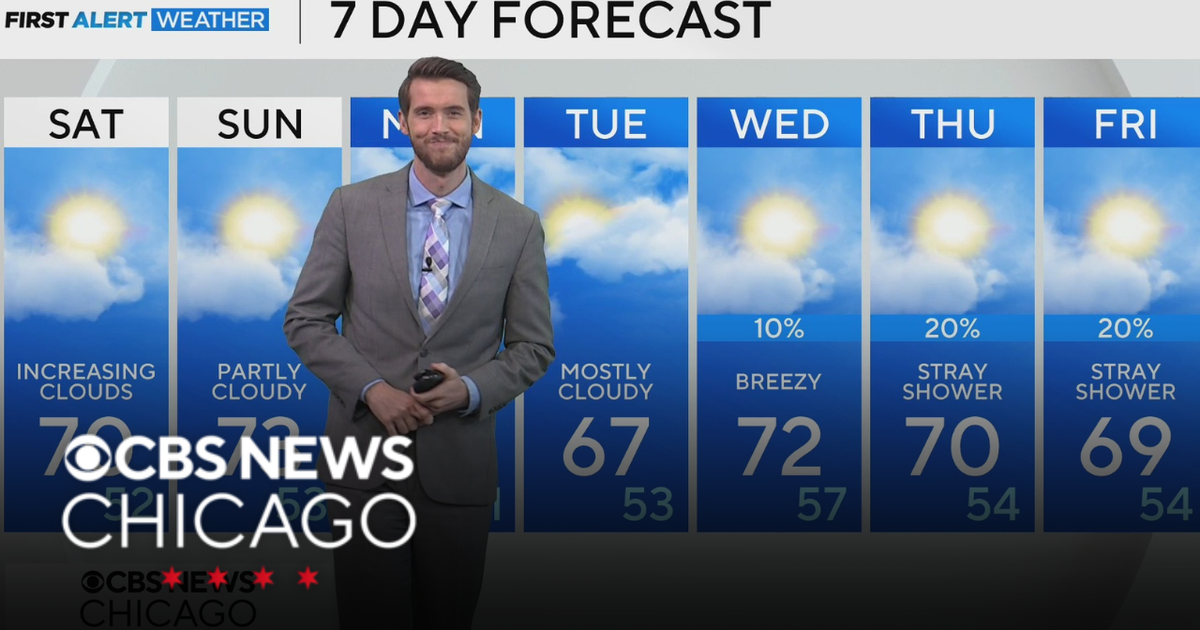 Mild, rain-free day Saturday for Chicago
CBS News Los Angeles Weekend 8am CBS News Miami This Morning 10am CBS News New York Saturday 11am Hometown High Q Classics CBS News Texas 9am
-
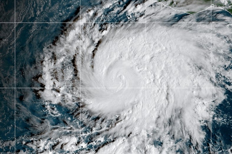 Hurricane Vance intensifies rapidly off Mexico's Pacific Coast
This GOES-19 GeoColor satellite image provided by the National Oceanic and Atmospheric Administration (NOAA) and taken on Friday, Oct. 23, 2026, shows Hurricane Vance in the Pacific. Hurricane Vance rapidly strengthened…
-
 Thousands without power as rain and wind continues
The Met Office issued a yellow weather warning for heavy rain on Saturday Thousands of homes are without power, and disruption is continuing across Devon and Cornwall after more stormy weather. On Friday, Storm Austen…
-
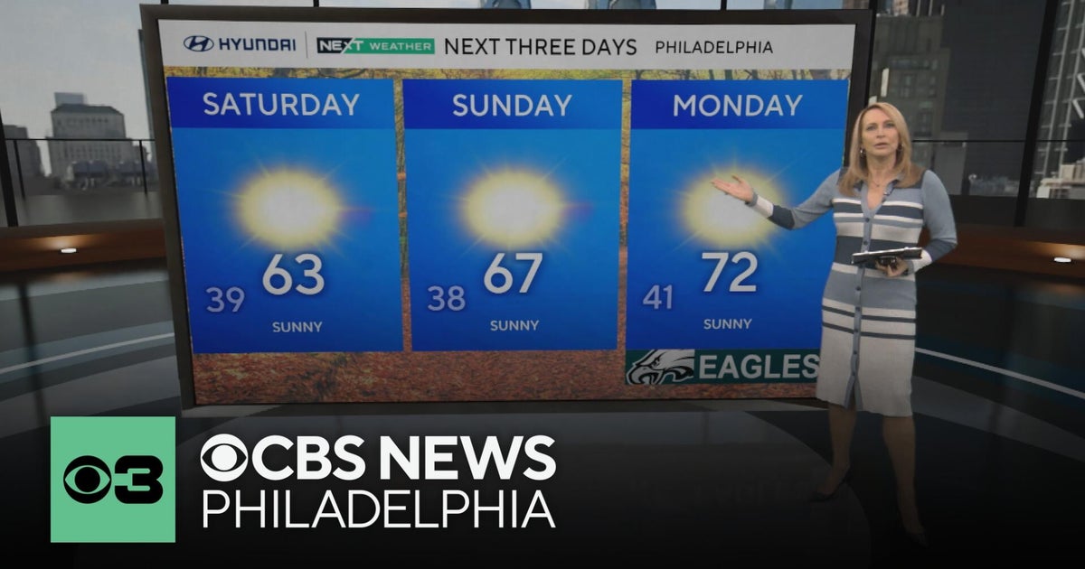 Frosty mornings and sunny days ahead in the Philadelphia area | NEXT Weather
CBS News Bay Area Morning Edition Weekend 7am CBS News Chicago Saturday at 9am CBS Colorado Mornings Weekend CBS News Los Angeles Weekend 7am CBS News Miami This Morning 10am CBS News New York Saturday 10am KDKA News…
Sun & moon
Almanac
MonthlyDevils Lake Municipal Ap, records since 1963. Normals 1991–2020. Data from NOAA's Regional Climate Centers (ACIS).
Nearby
- Devils Lake 29 km
Forecasters' discussion
From the National Weather Service office in FGF, issued 2 hrs ago
Key Messages
- Gusty winds continue this afternoon, up to 40 mph in Devils Lake basin.
Discussion
Issued at 406 PM CDT Fri Oct 23 2026
...Synopsis...
Gusty southeast winds 30-40 mph within the Red River Valley will gradually decrease some after sunset. However, winds do stay elevated overnight, but not as strong as this afternoon. Temperatures also stay quite mild in the upper 50s into the 60s overnight, well above average for this time of year. This is a result of a deepening low pressure system in the northern High Plains.
This is also driving showers and thunderstorms this afternoon into evening. Showers and weak thunderstorms will continue to migrate north and northeast, with relatively highest chance for lightning activity in the northern Red River Valley into northwest MN. Very little rain amounts will result from this, with those that see thunderstorms seeing at most half an inch.
As the low pressure system deepens, it propagates into south- central Canada, bringing with it a sweeping cold front still expected to move west to east late overnight tonight into Saturday morning. Behind the front will be shifting and increasing winds out of the west. Confidence has increased enough to issue a Wind Advisory for winds sustained near 30 mph and gusts to 50 mph in the Devils Lake basin of northeast ND Saturday morning. Similarly strengthen winds may also bleed into the far western edge of the Red River Valley. Winds are forecast to gradually decrease starting early afternoon Saturday.
Temperatures for Saturday will follow a non-diurnal curve, with daily maximum temperatures likely to occur during predawn hours Saturday ahead of the front. With the front moving through Saturday morning, temperatures in the afternoon will be either steady or falling.
Aviation
Issued at 1225 PM CDT Sat Oct 24 2026
Showers have pushed east of the terminals, while some MVFR ceilings linger for a couple more hours around KBJI and KTVF. Otherwise, VFR conditions prevail with winds continuing to decrease through the afternoon. Westerly gusts around 25 kts with a few gusts near 30 kts at KDVL and KGFK through 20Z, transitioning to gusts under 15 kts after 00Z.
Fgf Watches
ND...Wind Advisory until 1 PM CDT this afternoon for NDZ006-007-014- 015-024-026-054. MN...None.
Forecasts, observations and alerts in the United States come from the National Weather Service (NOAA); radar from NOAA's Multi-Radar Multi-Sensor system; satellite imagery from NASA's Global Imagery Browse Services (GIBS) and NOAA's GOES satellites; the map from the U.S. Geological Survey's National Map; air quality from AirNow (EPA and its partners); hurricane information from the National Hurricane Center; climate normals and records from NOAA's Regional Climate Centers (ACIS). Forecasts outside the United States and the UV index: MET Norway (CC BY 4.0); observations outside the U.S.: airport reports via NOAA's Aviation Weather Center. Place names: GeoNames (CC BY 4.0). Data are copied on a schedule and may lag the sources; for warnings that affect your safety, follow your local National Weather Service office and emergency officials. Weather news is drawn from the 4Search index and reflects what the press published. Terms of use.