Install
Amidon, ND Weather
Current conditions
Forecast for this hour (no station report in the last two hours)
Forecast
10-day-
Tonight
Partly cloudy, with a low around 49. Southeast wind around 12 mph.
-
Friday
Partly sunny. High near 80, with temperatures falling to around 76 in the afternoon. South wind 12 to 22 mph, with gusts as high as 37 mph.
-
Friday Night
Partly cloudy. Low around 35, with temperatures rising to around 38 overnight. West wind 20 to 32 mph, with gusts as high as 45 mph.
National Weather Service forecast updated 4 hrs ago.
Hourly
Hourly forecast- Now51°
- 3 AM50°
- 4 AM50°
- 5 AM50°
- 6 AM49°
- 7 AM49°
- 8 AM51°
- 9 AM57°
- 10 AM65°10%
- 11 AM69°
- 12 PM72°
- 1 PM76°
- 2 PM78°
- 3 PM79°
- 4 PM79°
- 5 PM76°
- 6 PM70°
- 7 PM66°
- 8 PM63°
- 9 PM60°
- 10 PM55°
- 11 PM50°
- Sat12 AM47°
- 1 AM45°
10-day forecast
Details- TonightOct 22Partly Cloudy49°
- TodayOct 23Partly Sunny10%35°80°
- SatOct 24Sunny28°47°
- SunOct 25Mostly Sunny23%30°48°
- MonOct 26Slight Chance Rain Showers23%30°43°
- TueOct 27Partly Sunny then Slight Chance Rain Showers27%32°48°
- WedOct 28Slight Chance Rain And Snow Showers then Mostly Sunny20%28°46°
- ThuOct 29Mostly Sunny47°
- FriOct 30Sunny23°40°
- SatOct 31Sunny25°37°
Days after the National Weather Service's seven are MET Norway's outlook, a computer model with no forecaster's review.
Radar
Full mapWeather news in North Dakota
More weather news-
 Fall temperatures trending warmer in North Dakota, meteorologist says overnight lows show biggest climb
Fall seasons in western and central North Dakota are getting warmer, and local meteorologists say the records prove it. BISMARCK, N.D. (KFYR) - Fall seasons in western and central North Dakota are getting warmer, and…
-
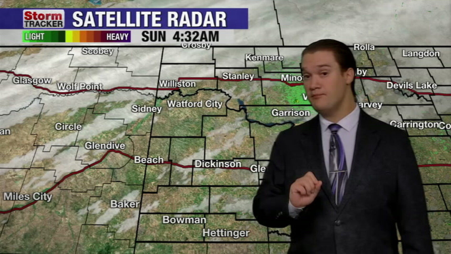 Mild fall weather continues across western North Dakota, even with a slight cool-down today
McKenzie County Farmer Mild fall weather continues across western North Dakota, even with a slight cool-down today
-
 Fall temperatures trending warmer in North Dakota
KFYR-TV Fall temperatures trending warmer in North Dakota Autumn Fest Parade brings music to downtown Bismarck, capitol grounds Hundreds welcome veterans home from Western ND Honor flight ND Today: Designer Genes: Walk…
- North Dakota Weather Today: 30 MPH Gusts Before 70° Sunday Oct 18
Grand Forks, ND – Residents across eastern North Dakota and northwestern Minnesota can expect an unusually pleasant stretch of fall weather this weekend, October 17-18, with sunshine, breezy conditions and temperatures…
-
 Minnesota sees chances for rain and more seasonable temps soon | Next Weather 10 p.m. Oct. 22, 2026
CBS News Minnesota is a local news organization that is part of CBS News and Stations. Also referred to as WCCO-TV and channel 4, CBS News Minnesota offers local breaking news, weather coverage and investigative…
-
 Slaughden Quay
Tides for Slaughden Quay, East of England - BBC Weather BBC Right now, the tide in Slaughden Quay is Tide tables for the next 7 days For more information, please see FAQs. © Crown copyright and database right
-
 Inland Empire extreme weather for the day included hail in Crestline
October 22, 2026 / 6:05 PM PDT / CBS LA Severe weather, including hail and heavy rain, impacted the Inland Empire, prompting emergency response efforts on Thursday. Intermittent hail, rain, lightning, and wind hit the…
-
 Amber warning in place as Storm Austen hits parts of UK
An amber weather warning has come into force in parts of the UK as Storm Austen brings a swathe of powerful winds and heavy rain on Friday. South West England is forecast to be worst hit by the storm which the Met…
-
 Vermont ski mountains prepare to open as winter weather looms
A ski resort in Colorado unveils preserved snow from last season to provide a rare opportunity for thousands, skiing in October. Chris Miller, the sustainability senior VP at Aspen One, joins FOX Weather to talk about…
-
 Heavy rain warning as Storm Austen sweeps across Scotland
Scotland is braced for a wet and windy weekend as two named storms hit in two days. Storm Austen is the first to sweep across the country, with the Met Office issuing a a yellow warning for rain, external in central and…
Air quality
Air quality is satisfactory, and air pollution poses little or no risk.
Theodore Roosevelt National Park, ND reporting area · 1 hr ago. Data from AirNow (EPA and its state, local and tribal partners); preliminary and subject to change.
Sun & moon
Almanac
MonthlyBowman, records since 1915. Normals 1991–2020. Data from NOAA's Regional Climate Centers (ACIS).
Nearby
- Dickinson 60 km
Forecasters' discussion
From the National Weather Service office in BIS, issued 13 hrs ago
Key Messages
- Unseasonably warm temperatures to end the workweek, with near record highs today and especially Friday. Then much cooler temperatures this weekend and into early next week.
- Dry conditions through tonight, then only low chances for showers west and north Friday afternoon through Friday night.
- Breezy to windy Friday and Saturday.
- Near critical fire weather conditions southwest Friday afternoon.
Discussion
Issued at 200 PM CDT Thu Oct 22 2026
Broad upper level ridging continues to promote warm and dry weather over the northern Plains this afternoon, with mostly clear to partly cloudy skies and light (around 10-15 MPH) south to southeast winds expected through the afternoon. With the ensemble consistently underperforming with high temperatures this week we have nudged temperatures a 1 to 3 degrees higher this afternoon utilizing a 1:1 blend of NBM:NBM90, resulting in forecast highs broadly in the 70s this afternoon. Have opted to leave forecast low temperatures in the mid 40s to mid 50s as increasing cloud cover this evening and overnight will prevent the low temperature crash we've seen earlier this week. A few climate sites are set to break their daily record high min, including BIS, DIK, JMS, and XWA.
Conditions on Friday will then be characterized by an upper level trough lifting across the Rockies and eventually closing off over the southern Canadian Prairies through the early weekend. With flow over North Dakota turning southerly as the trough approaches, Friday is expected to the warmest day of the week with highs from the lower 70s to lower 80s. During the daytime lee cyclogenesis is expected to spit out a center of low pressure over southern Montana, which is then to slowly be lifted into the forecast area through the evening and overnight into Saturday. The passage of this low and its attendant cold front is expected to promote chances (20 to 50 percent) for rain over portions of the west. With the warmer weather we have been monitoring the potential for isolated thunderstorms accompanying these showers early Friday evening, but with surface winds turning southwesterly and advecting drier air across the west Friday afternoon the chances remain very low (less than 10 percent).
The main forecast challenge for Friday and Saturday will be the potential for strong winds across much of western and central North Dakota. Increasing low level lapse rates and an initial push of CAA will allow gusty south to southwest winds (sustained 20 to 25 MPH gusting up to 35 MPH) to mix down from a develop 850mb over portions of the west. Later Friday night through Saturday morning, stronger CAA and greater pressure rises is then expected to promote strong northwesterly winds sustained around 25 to 30 MPH and gusting as high as 45 MPH across the area. Have continued Portions of the forecast area are expected to approach Wind Advisory criteria during this period, though confidence is too low for headlines at this time.
Otherwise for Saturday and beyond, cooler conditions with highs broadly in the 40s and 50s are expected behind the cold front. Looking ahead, there's decent ensemble agreement on swinging another closed low out of the south across western and central North Dakota early Monday through Tuesday, and again Wednesday through early Thursday. The NBM advertises near daily low to medium chances for PoPs through this period, with enough variation in storm track between ensemble members to limit confidence at this time.
Aviation
Issued at 200 PM CDT Thu Oct 22 2026
VFR ceilings and visibility is expected at all terminals throughout the 18Z TAF period. LLWS is expected to develop late this evening through early tonight at KBIS. Light southerly winds this afternoon will turn southeasterly overnight, becoming gusty late Saturday morning sustained around 10 to 15 knots gusting to 25 knots.
Bis Watches
None.
Forecasts, observations and alerts in the United States come from the National Weather Service (NOAA); radar from NOAA's Multi-Radar Multi-Sensor system; satellite imagery from NASA's Global Imagery Browse Services (GIBS) and NOAA's GOES satellites; the map from the U.S. Geological Survey's National Map; air quality from AirNow (EPA and its partners); hurricane information from the National Hurricane Center; climate normals and records from NOAA's Regional Climate Centers (ACIS). Forecasts outside the United States and the UV index: MET Norway (CC BY 4.0); observations outside the U.S.: airport reports via NOAA's Aviation Weather Center. Place names: GeoNames (CC BY 4.0). Data are copied on a schedule and may lag the sources; for warnings that affect your safety, follow your local National Weather Service office and emergency officials. Weather news is drawn from the 4Search index and reflects what the press published. Terms of use.