Install
Winterville, NC Weather
Current conditions
Observed at Pitt-Greenville Airport · 1 hr ago
Forecast
10-day-
Tonight
Clear, with a low around 43. North wind 3 to 8 mph.
-
Friday
Sunny, with a high near 69. North wind 6 to 13 mph, with gusts as high as 22 mph.
-
Friday Night
Mostly clear, with a low around 48. Northeast wind around 12 mph, with gusts as high as 21 mph.
National Weather Service forecast updated 21 hrs ago.
Hourly
Hourly forecast- Now47°
- 2 AM46°
- 3 AM45°
- 4 AM44°
- 5 AM44°
- 6 AM43°
- 7 AM43°
- 8 AM45°
- 9 AM49°
- 10 AM55°
- 11 AM60°
- 12 PM64°
- 1 PM67°
- 2 PM69°
- 3 PM68°
- 4 PM69°
- 5 PM67°
- 6 PM65°
- 7 PM63°
- 8 PM58°
- 9 PM56°
- 10 PM54°
- 11 PM53°
- Sat12 AM52°
10-day forecast
Details- ThuOct 22Sunny43°71°
- TodayOct 23Sunny48°69°
- SatOct 24Sunny50°67°
- SunOct 25Sunny47°69°
- MonOct 26Sunny47°70°
- TueOct 27Sunny52°73°
- WedOct 28Mostly Sunny54°74°
- ThuOct 29Cloudy55°75°
- FriOct 30Cloudy49°73°
- SatOct 31Sunny46°65°
Days after the National Weather Service's seven are MET Norway's outlook, a computer model with no forecaster's review.
Radar
Full mapWeather news in North Carolina
More weather news-
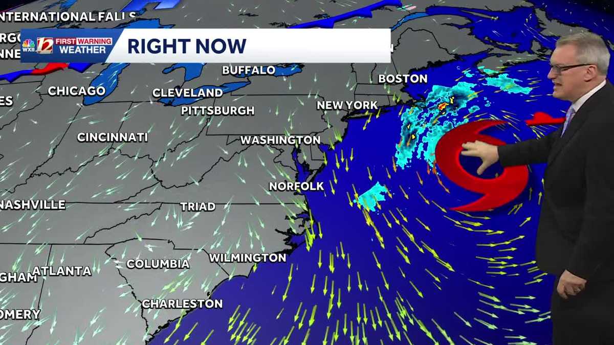 Sunny and dry Piedmont Triad weather Thursday | North Carolina temperatures this weekend
North Carolina will experience pleasant fall weather for most of the week. The beaches will remain windy, with large waves and concerns about coastal flooding. It's layering weather! You'll need a jacket early in the…
-
 Nor'easter destroys sand barrier as it pummels North Carolina
The Weather Network
-
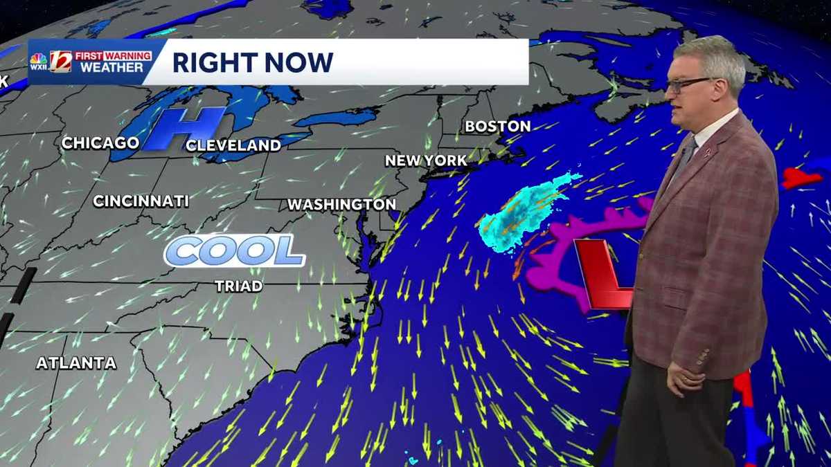 Beautiful North Carolina weather continues this week | Triad temperatures fall again this weekend
Cool Piedmont Triad mornings this week, sunny & pleasant afternoons WXII Despite the chilly start, afternoon temperatures were warmer than average on Tuesday afternoon The high temperature at Piedmont Triad…
-
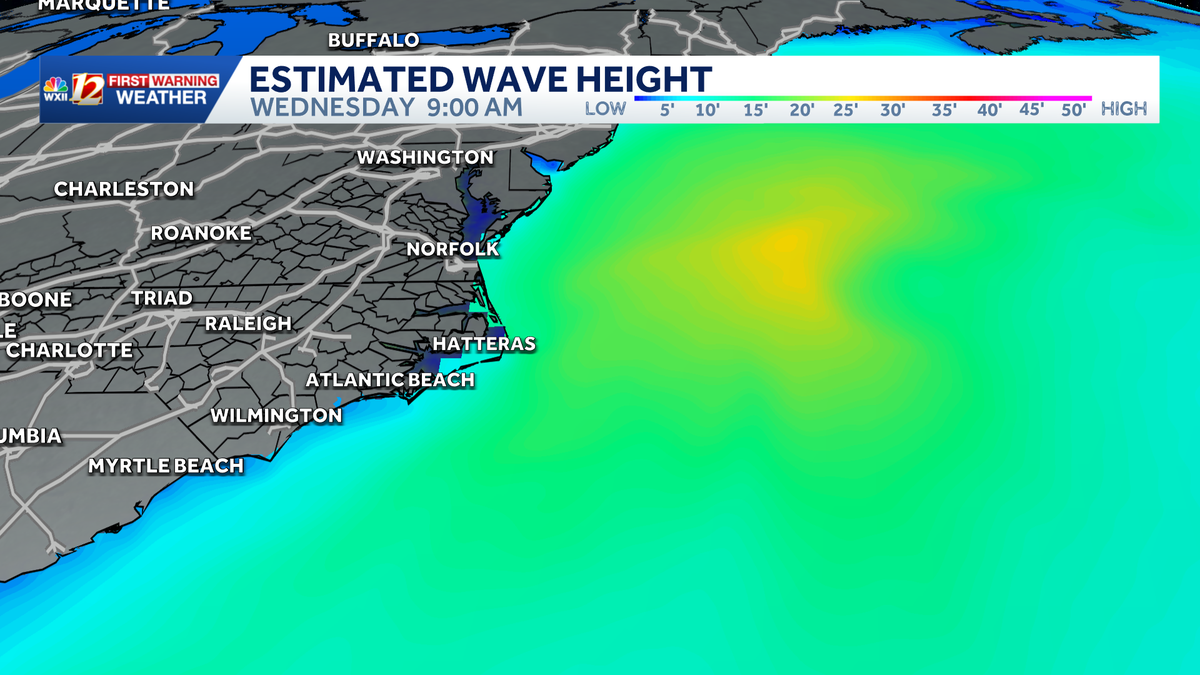 Slow-moving storm near North Carolina coast could gain tropical characteristics this week | Dangerous surf, flood threat for the Outer Banks
Coastal storm may become subtropical this week. Beach erosion, flooding is making travel difficult and the Outer Banks. A nor'easter is taking shape along the same powerful cold front that brought cooler temperatures to…
-
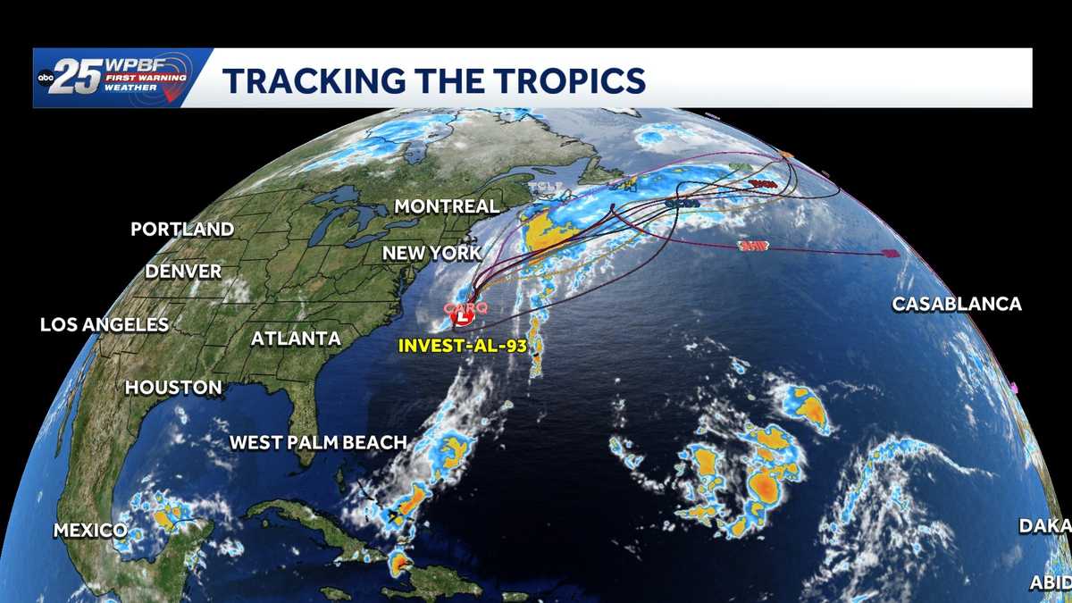 Low pressure off North Carolina could briefly turn subtropical while sending rough surf up the East Coast
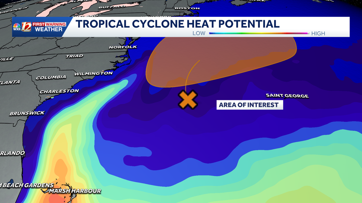
A storm-force non-tropical low-pressure system located a few hundred miles off the North Carolina coast is producing shower and thunderstorm activity primarily west of its center. According to the National Hurricane…
-
-
 Sunny and seasonably cool weather across North Carolina this week
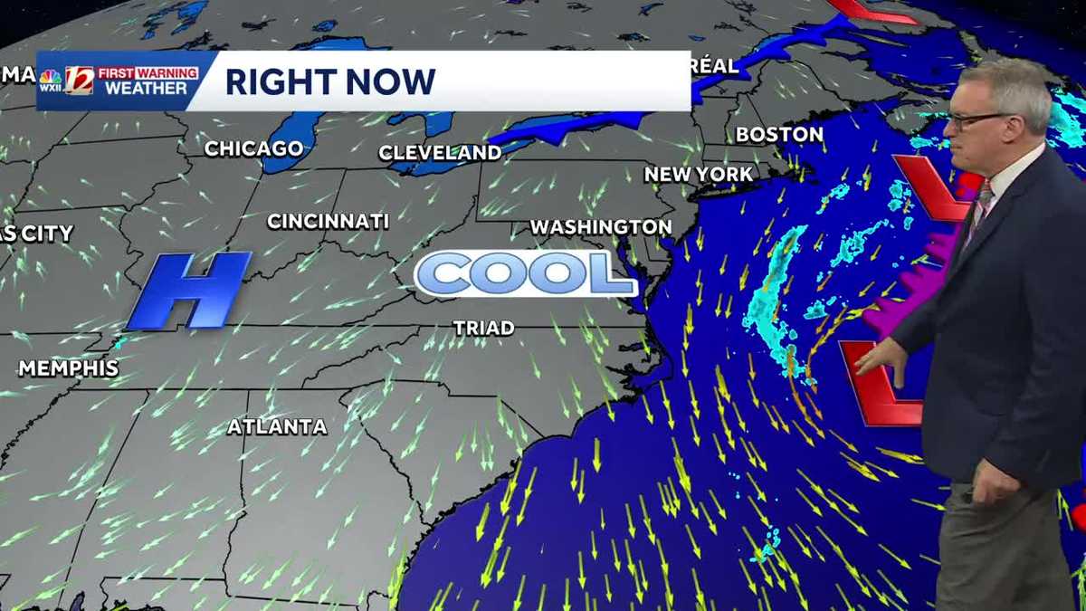
WXII Cold mornings will lead to seasonable, sunny afternoons in North Carolina this week Dress for 30s and 40s in the mornings Sunny weather will warm temperatures into the 60s and 70s in the afternoons Dry weather will…
-
 Weather System Off North Carolina Could Become Nor’Easter or Tropical Storm: What to Know
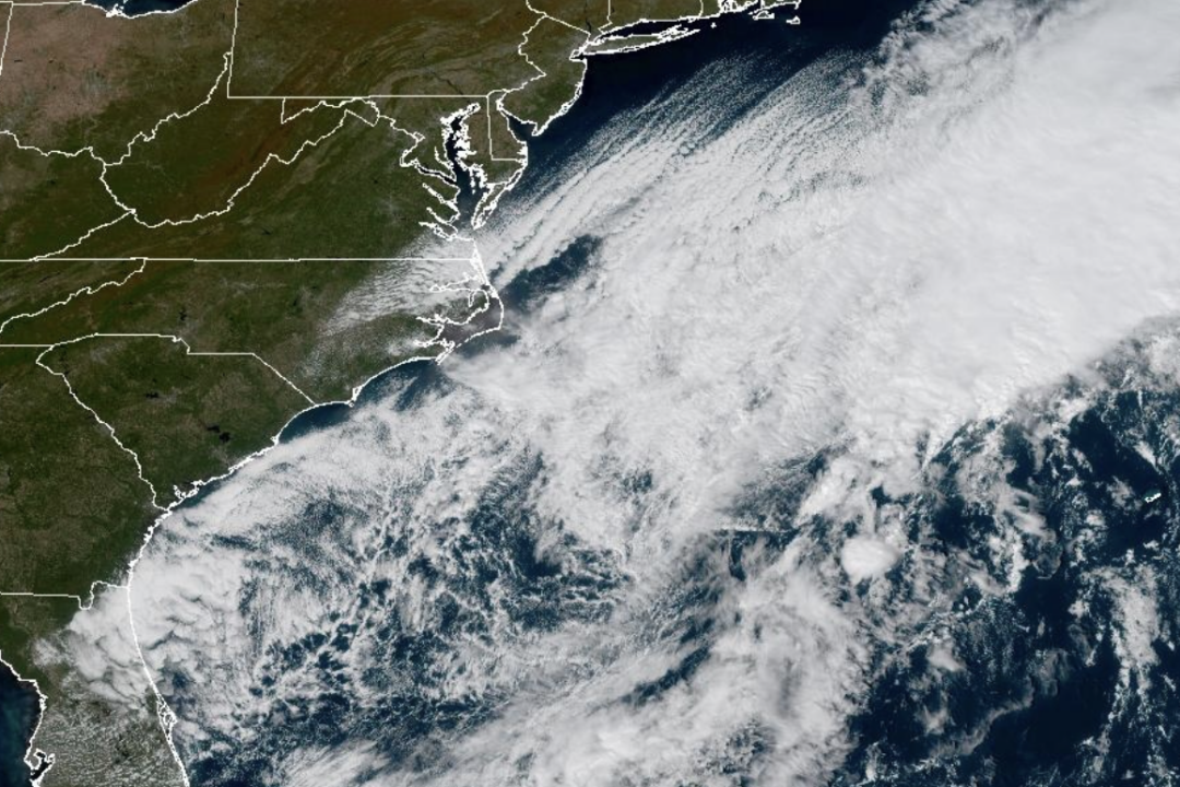
The National Weather Service and its National Hurricane Center are tracking a storm system sitting off the coast of North Carolina that has the opportunity to become either a proper Nor’easter or a Tropical Storm and is…
-
 Cold Sunday morning in North Carolina, beautiful fall weather this week
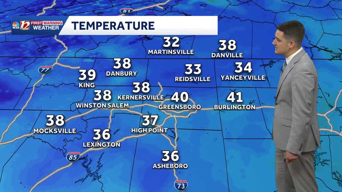
WXII Cold Sunday morning in North Carolina, beautiful fall weather this week Meteorologist Dylan Hudler has your Sunday forecast Brrrr! Cold fall air is here! Sunday morning is the first time in the 30s for many…
-
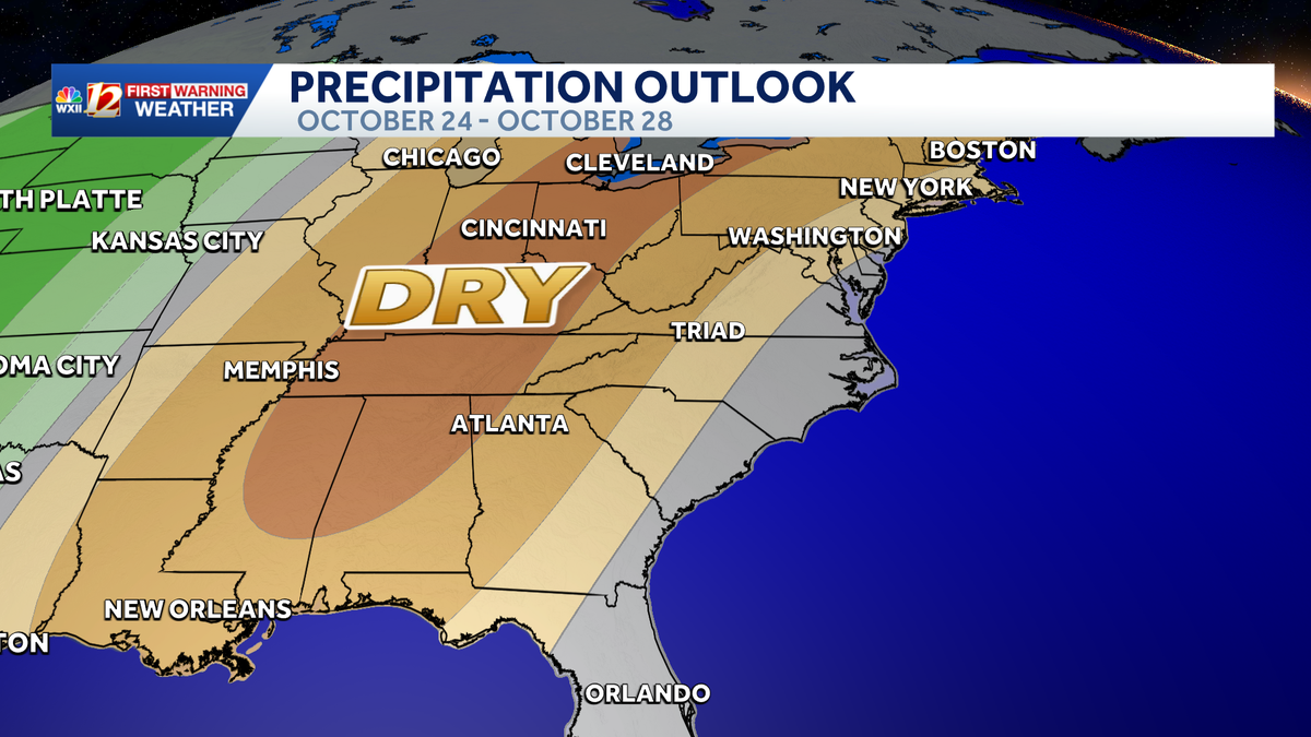 Seasonable highs ahead for the workweek in North Carolina | Cold mornings, tracking a coastal low
A dry pattern is developing for the coming workweek. Mostly sunny days will become seasonable through midweek, with highs in the 70s. A powerful cold front brought in a much colder air mass this weekend, but after two…
Air quality
Air quality is satisfactory, and air pollution poses little or no risk.
Forecast
- FriGood (42)
- SatGood (38)
- SunGood (35)
Pitt County, NC reporting area · 1 hr ago. Data from AirNow (EPA and its state, local and tribal partners); preliminary and subject to change.
Sun & moon
Almanac
MonthlyGreenville, records since 1897. Normals 1991–2020. Data from NOAA's Regional Climate Centers (ACIS).
Nearby
- Greenville 10 km
- Rocky Mount 57 km
- Wilson 51 km
- Goldsboro 56 km
- New Bern 57 km
- Kinston 34 km
- Tarboro 43 km
- Washington 32 km
- James City 59 km
- Williamston 48 km
- Ayden 6 km
- Farmville 18 km
Forecasters' discussion
From the National Weather Service office in MHX, issued 6 hrs ago
What Has Changed
Minor adjustments to the marine headlines.
Adjusted dewpoints and temperatures down this evening.
Updated Aviation Discussion.
Key Messages
1) A slow moving nor'easter well offshore will continue to bring impacts along the Outer Banks.
2) Dry with cooler than avg conditions continue through the weekend.
3) Breezy NE winds and high astronomical tides will bring the potential for additional coastal impacts Friday into into early next week.
Marine: Large seas will continue to bring hazardous boating conditions into next week. Strong Small Craft Advisory
Discussion
KEY MESSAGE 1...Subtropical Storm Josephine, continues to accelerate northeastward away from our area. As expected a marked decrease in winds have occurred with seas still running quite high off our coast, but lower than previous days. With continued large surf and longer period swell, coastal flooding impacts along vulnerable locations of the coast will continue through early tonight, especially along Hatteras Island where dune structure is fragile. The National Parks Service and NCDOT have reported substantial beach erosion from south Nags Head to Buxton, along with significant overwash occurring on side streets in Rodanthe. Due to hazardous road conditions and flooding, NC-12 remains closed from the Marc Basnight Bridge to Rodanthe. The next high tides are around 530AM Friday. A Coastal Flood Warning remains in effect for Hatteras Island and a Coastal Flood Advisory for the Northern Outer Banks. Additionally, a high surf advisory continues for the beaches from Duck to Cape Hatteras where surf heights 8-12 ft will through early evening. Beyond tonight, continued lowering trend in waves and swell will gradually give us a lull Friday before conditions pick up again (see key message 3 below). It should be noted that although water levels may fall below typical values that would cause flooding, due to the extensive erosion and dune loss, impacts Friday may still continue.
KEY MESSAGE 2...Made some slight tweaks to the dewpoint and temperature forecast for tonight given previous days cold weather. Expect dewpoints to range from the mid to upper 30s tonight and with winds potentially decoupling again late tonight, we could see temps lower into the mid to upper 30s as well especially across the more sheltered locations such as Wallace or Kenansville. This in turn could bring a patchy frost threat to portions of the Coastal Plain tonight, though a big caveat in this threat is that it may be too dry for frost formation even with the cold air in place. Otherwise the rest of the forecast remains on track with dry weather and clear skies forecast this evening across ENC.
Pleasantly cooler air mass will remain with us through the next several days with temps a bit below climo. Maximum temperatures through the period are expected to remain in the mid 60s to lower 70s range. Overnight lows will range from the 40s inland to the 50s coast. Good radiational cooling conditions are expected again tonight. With afternoon dewpoints in the upper 30s, lows in our typical cold spots should drop into the 30s once again. Model soundings do show just a few more knots of wind in the boundary layer compared to yesterday, so we may not be quite as cold as last night. A bit more mixing ensues Friday night as strong high pressure builds in from the north preventing temps from cratering.
KEY MESSAGE 3...Strong high pressure building in from the north and low pressure well off the SE coast will result in a period of breezy to strong NE winds returning late Friday through the weekend with strongest winds along the coast, especially south of Cape Hatteras where gradients will be tightest. This, combined with developing King Tides could lead to additional minor coastal impacts (coastal flooding and rough surf).
Aviation
Primarily VFR conditions are forecast through the period as the area remains under clear skies and light to calm winds through Friday. Will note we could once again decouple which would allow for temperatures to get into the mid to upper 30s tonight. This in turn could lead to a very low chance (10% or less) of steam fog by the terminals near rivers (primarily PGV where the lowest temps would occur). As a result we may have some patchy fog after 06Z with brief MVFR vsybs possible. Too low of confidence to include in the TAFS now. Either way think any steam fog development would have little impact on operations even if it does develop. Regardless of development, expect VFR conditions through Fri.
Outlook (Friday night through Tuesday): VFR conditions are expected to continue through the next several days with strong high pressure building in from the north.
Forecasts, observations and alerts in the United States come from the National Weather Service (NOAA); radar from NOAA's Multi-Radar Multi-Sensor system; satellite imagery from NASA's Global Imagery Browse Services (GIBS) and NOAA's GOES satellites; the map from the U.S. Geological Survey's National Map; air quality from AirNow (EPA and its partners); hurricane information from the National Hurricane Center; climate normals and records from NOAA's Regional Climate Centers (ACIS). Forecasts outside the United States and the UV index: MET Norway (CC BY 4.0); observations outside the U.S.: airport reports via NOAA's Aviation Weather Center. Place names: GeoNames (CC BY 4.0). Data are copied on a schedule and may lag the sources; for warnings that affect your safety, follow your local National Weather Service office and emergency officials. Weather news is drawn from the 4Search index and reflects what the press published. Terms of use.