Install
Red Springs, NC Weather
Current conditions
Forecast for this hour (no station report in the last two hours)
Forecast
10-day-
Sunday
Sunny, with a high near 72.
-
Sunday Night
Mostly clear, with a low around 46.
-
Monday
Sunny, with a high near 71.
National Weather Service forecast updated 2 days ago.
Hourly
Hourly forecast- Now49°
- 9 AM52°
- 10 AM57°
- 11 AM62°
- 12 PM65°
- 1 PM68°
- 2 PM70°
- 3 PM71°
- 4 PM72°
- 5 PM70°
- 6 PM68°
- 7 PM64°
- 8 PM61°
- 9 PM58°
- 10 PM56°
- 11 PM54°
- Mon12 AM52°
- 1 AM52°
- 2 AM51°
- 3 AM50°
- 4 AM49°
- 5 AM48°
- 6 AM47°
- 7 AM46°
10-day forecast
Details- TonightOct 22Clear39°
- FriOct 23Sunny48°69°
- SatOct 24Sunny48°69°
- TodayOct 25Sunny46°72°
- MonOct 26Sunny44°71°
- TueOct 27Sunny49°73°
- WedOct 28Mostly Sunny51°72°
- ThuOct 29Mostly Sunny72°
- FriOct 30Mostly sunny55°79°
- SatOct 31Partly cloudy57°79°
Days after the National Weather Service's seven are MET Norway's outlook, a computer model with no forecaster's review.
Radar
Full mapWeather news near Red Springs
More weather news-
 Hurricane Isaias Brings Tornadoes, Rain to the Carolinas
“We saw several tornado warnings active on Sunday afternoon in the Wake County area. The National Weather Service has confirmed two tornadoes of EF1 strength in Wake County. Several others were not far away, including…
-
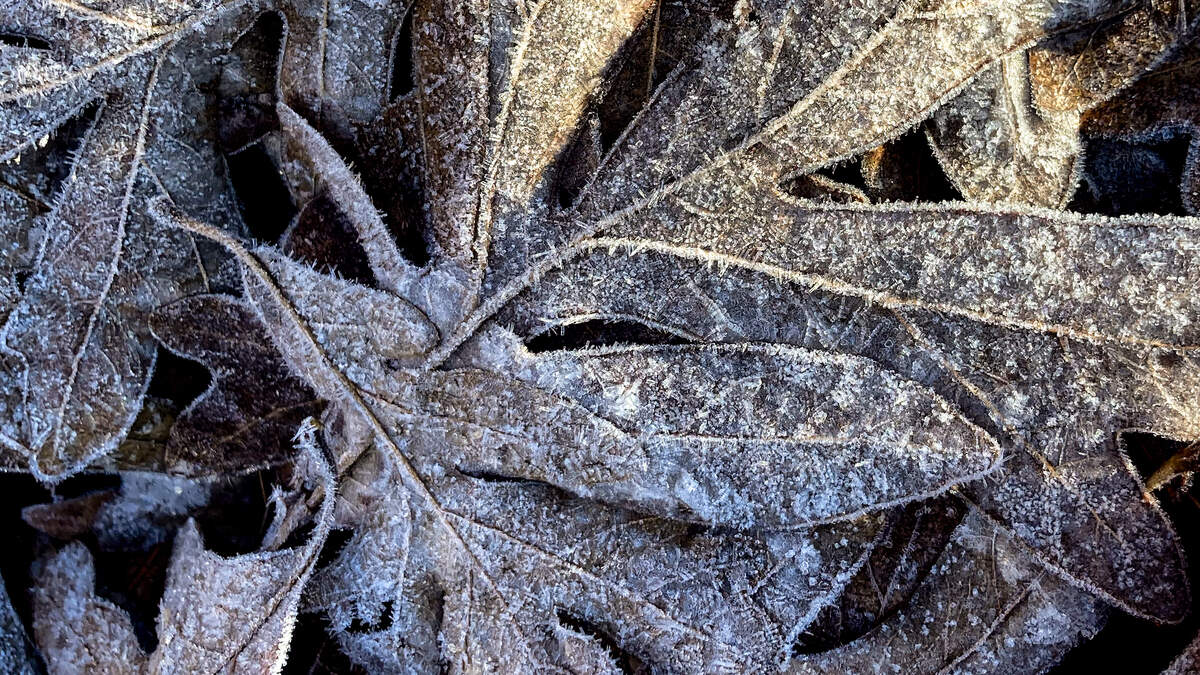 Rapid temperature swings could bring the Triangle an earlier-than-usual frost
More than a dozen tornados. A smashed record-high temperature. A nearly 50-degree temperature swing. And, possibly, our first frost of the season. Welcome to a week of weather in North Carolina. Parts of central North…
- Ask the Meteorologist: What is causing this warmth and why will it cool off so much this weekend?
It feels like just a couple of weeks ago I was complaining about how warm it was, and that's because it was. I am tired of breaking records and am ready for sweater weather, and Mother Nature will provide soon. First…
- Fayetteville's recent weather roller coaster continues
From tornadoes to record heat to a chance of light frost - welcome to Augtober in the Cape Fear region. Augtober, that wild season when the weather can't make up its mind, has come to Fayetteville. We've been whipsawed…
-
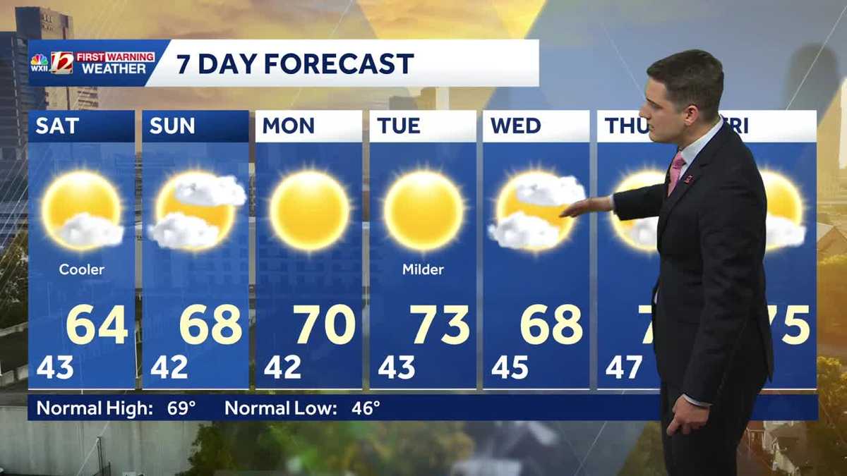 Slightly cooler fall weather this weekend, sunny and dry stretch continues in North Carolina
Meteorologist Dylan Hudler has your Saturday forecast Slightly cooler fall weather this weekend, sunny and dry stretch continues in North Carolina Meteorologist Dylan Hudler has your Saturday forecast This weekend is a…
-
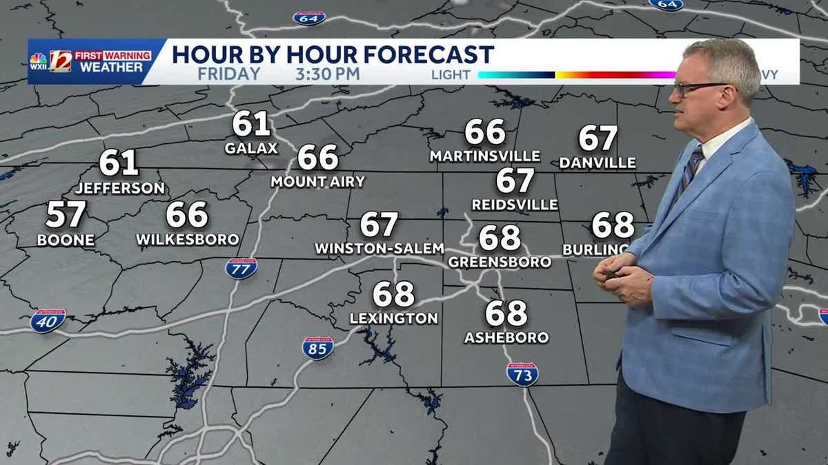 North Carolina temperatures dip a bit this weekend and it's dry, dry, dry...
Chilly North Carolina mornings will be followed by cool afternoon sunshine this weekend It's layering weather! You'll need a jacket early in the morning to combat the chill It will feel more pleasant by late morning…
-
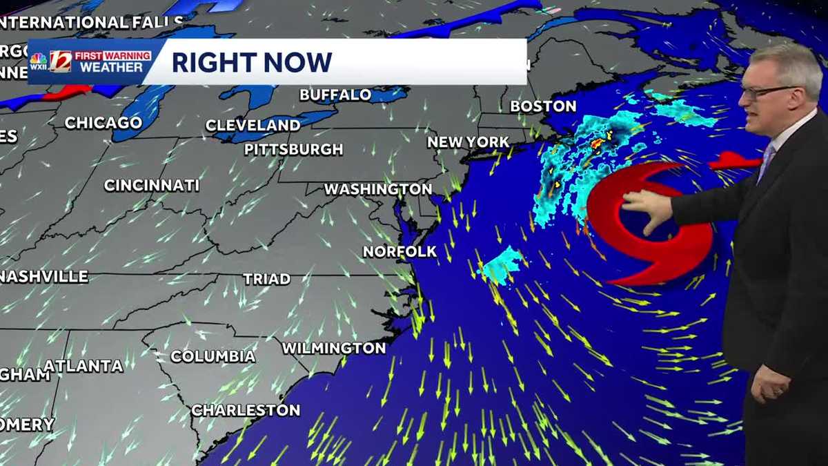 Sunny and dry Piedmont Triad weather Thursday | North Carolina temperatures this weekend
North Carolina will experience pleasant fall weather for most of the week. The beaches will remain windy, with large waves and concerns about coastal flooding. It's layering weather! You'll need a jacket early in the…
-
 Nor'easter destroys sand barrier as it pummels North Carolina
The Weather Network
-
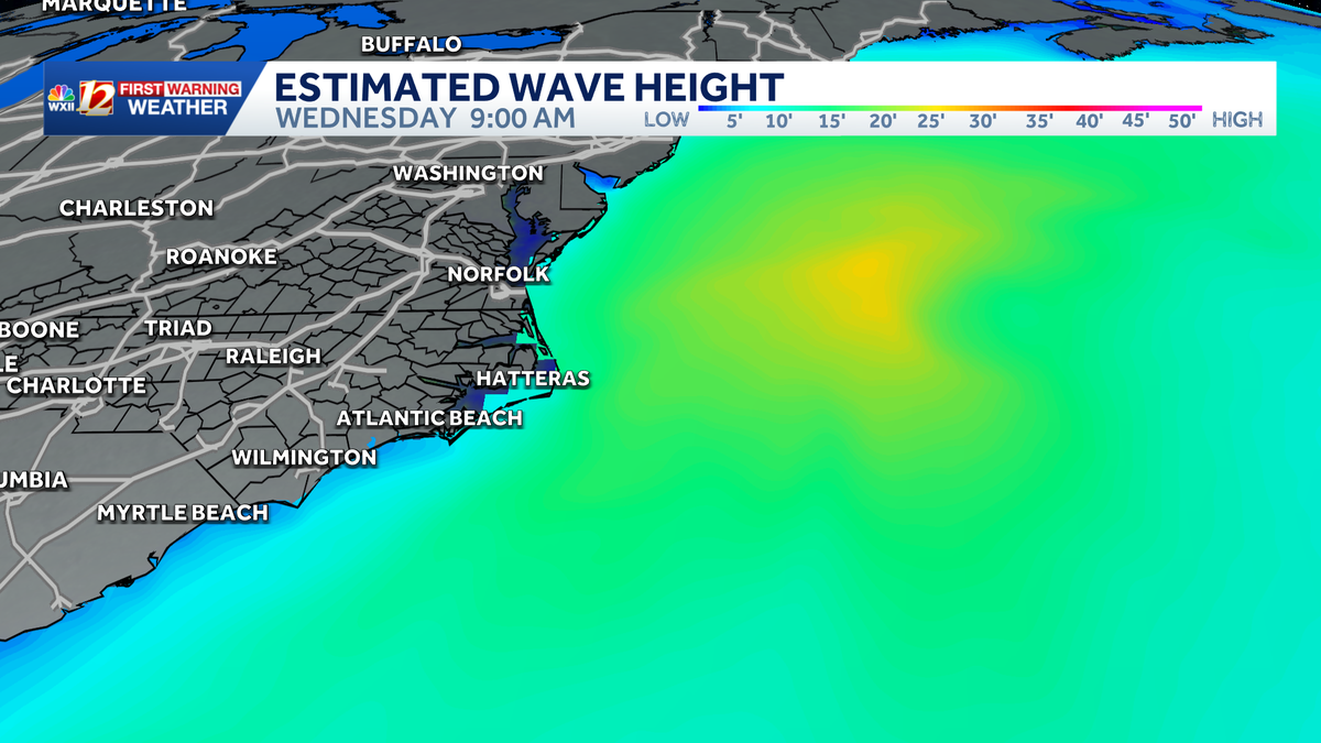 Slow-moving storm near North Carolina coast could gain tropical characteristics this week | Dangerous surf, flood threat for the Outer Banks
Coastal storm may become subtropical this week. Beach erosion, flooding is making travel difficult and the Outer Banks. A nor'easter is taking shape along the same powerful cold front that brought cooler temperatures to…
-
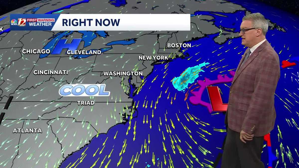 Beautiful North Carolina weather continues this week | Triad temperatures fall again this weekend
Cool Piedmont Triad mornings this week, sunny & pleasant afternoons WXII Despite the chilly start, afternoon temperatures were warmer than average on Tuesday afternoon The high temperature at Piedmont Triad…
Air quality
Forecast
- SunGood (32)
- MonGood (42)
- TueGood (42)
Robeson County, NC reporting area. Data from AirNow (EPA and its state, local and tribal partners); preliminary and subject to change.
Sun & moon
Almanac
MonthlyLumberton Area, records since 1903. Normals 1991–2020. Data from NOAA's Regional Climate Centers (ACIS).
Nearby
- Fayetteville 38 km
- Fort Bragg 39 km
- Lumberton 27 km
- Hope Mills 28 km
- Pinehurst 50 km
- Laurinburg 26 km
- Southern Pines 44 km
- Spring Lake 44 km
- Rockingham 56 km
- Bennettsville 51 km
- Pope Air Force Base (historical) 43 km
- Aberdeen 42 km
Forecasters' discussion
From the National Weather Service office in ILM, issued 2 hrs ago
What Has Changed
All sections have been updated. The Coastal Flood Advisories were extended through this evening's high tide for all tidal areas. The Gale Warning was extended into the nearshore waters into tonight and shortened for the offshore waters.
Key Messages
1) Minor coastal flooding and hazardous marine/surf conditions are expected at least into mid week.
2) High pressure will prevail through the week bringing generally dry weather and coastal breezes.
Discussion
KEY MESSAGE 1...Minor coastal flooding and hazardous marine/surf conditions are expected at least into mid week.
An extended period of enhanced northeast winds due to strong high pressure to the north and low pressure well to the southeast will continue to bring hazardous marine/surf conditions across the NE SC and SE NC coasts and nearby Atlantic waters. Also, high astronomical tides and onshore winds will lead to minor coastal flooding.
Coastal Flooding: Minor coastal flooding is likely during each high tide cycle through at least Tue AM, with the highest tides in the morning.
High Surf: High seas up near 10 ft within 20 nm will likely lead to 6 ft surf heights early this week, especially along the beaches of New Hanover County. In addition, the large waves coupled with high water levels could result in some erosion, especially for E-facing beaches.
Marine: See the Marine section below for details regarding marine hazards.
KEY MESSAGE 2...High pressure will prevail through the week bringing generally dry weather and coastal breezes.
Aviation
High confidence in VFR conditions as high pressure prevails. Very low risk of MVFR/IFR CIGs and LLWS this morning. NNE/NE winds will prevail, gusting to near 20-25 kt at times.
VFR to prevail with gusty NE winds expected at times, especially near the coast. There is a low risk for CIG restrictions, mainly during late night/early morning periods.
Forecasts, observations and alerts in the United States come from the National Weather Service (NOAA); radar from NOAA's Multi-Radar Multi-Sensor system; satellite imagery from NASA's Global Imagery Browse Services (GIBS) and NOAA's GOES satellites; the map from the U.S. Geological Survey's National Map; air quality from AirNow (EPA and its partners); hurricane information from the National Hurricane Center; climate normals and records from NOAA's Regional Climate Centers (ACIS). Forecasts outside the United States and the UV index: MET Norway (CC BY 4.0); observations outside the U.S.: airport reports via NOAA's Aviation Weather Center. Place names: GeoNames (CC BY 4.0). Data are copied on a schedule and may lag the sources; for warnings that affect your safety, follow your local National Weather Service office and emergency officials. Weather news is drawn from the 4Search index and reflects what the press published. Terms of use.