Install
King, NC Weather
Current conditions
Forecast for this hour (no station report in the last two hours)
Forecast
10-day-
Today
Sunny, with a high near 74. North wind 3 to 7 mph.
-
Tonight
Clear, with a low around 46. Northeast wind around 3 mph.
-
Wednesday
Sunny, with a high near 71. Northeast wind 2 to 6 mph.
National Weather Service forecast updated 1 hr ago.
Hourly
Hourly forecast- Now51°
- 10 AM58°
- 11 AM64°
- 12 PM67°
- 1 PM70°
- 2 PM72°
- 3 PM72°
- 4 PM74°
- 5 PM72°
- 6 PM68°
- 7 PM64°
- 8 PM59°
- 9 PM56°
- 10 PM54°
- 11 PM53°
- Wed12 AM52°
- 1 AM51°
- 2 AM50°
- 3 AM49°
- 4 AM48°
- 5 AM48°
- 6 AM46°
- 7 AM46°
- 8 AM46°
Daily forecast
Details- TodayOct 20Sunny46°74°
- WedOct 21Sunny42°71°
- ThuOct 22Sunny46°74°
- FriOct 23Sunny39°68°
- SatOct 24Sunny40°63°
- SunOct 25Sunny42°68°
- MonOct 26Mostly Sunny47°74°
- TueOct 27Cloudy46°70°
- WedOct 28Mostly sunny47°69°
Days after the National Weather Service's seven are MET Norway's outlook, a computer model with no forecaster's review.
Radar
Full mapWeather news near King
More weather news-
 Conditions aligning for Bay Area to expect highest King Tides in 18 years
October 18, 2026 / 1:21 PM PDT / CBS San Francisco King tides bring coastal flooding to the Bay Area every winter. But this fall and winter, the region is expected to see the highest tides in 18 years. Why does this…
-
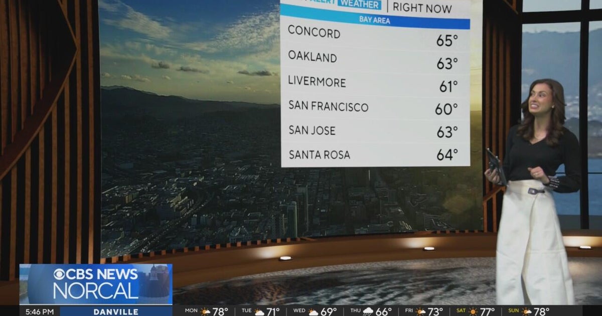 First Alert Weather Monday evening forecast 10-19-26
CBS News Bay Area is a local news organization that is part of CBS News and Stations. Also referred to as KPIX-TV and channel 5, CBS News Bay Area offers local breaking news, weather coverage and investigative…
-
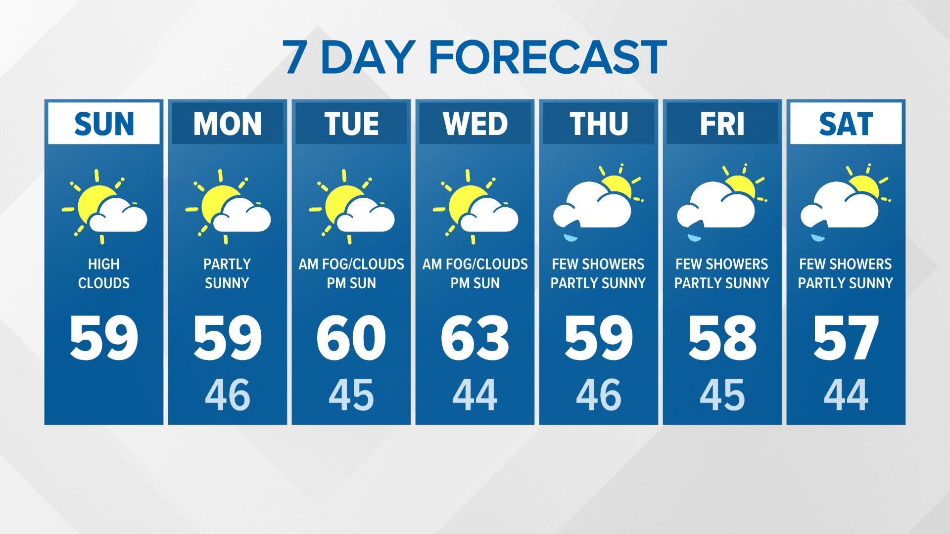 Generally mild conditions | KING 5 Weather
KING5.com Generally mild conditions | KING 5 Weather To stream KING 5 on your phone, you need the KING 5 app. Download the KING 5 app Next up in 5 Example video title will go here for this video Before You Leave, Check…
-
 Orionid meteor shower: When and where to watch as 'shooting stars' set to fill sky
A spectacular meteor shower will peak overnight this week, as the Earth passes through a trail of dust and debris left behind by Halley's Comet. The Orionid meteor shower is active now, lastung until November 7, but…
-
 A gray and calm Monday starts your Inland NW work week
KXLY.com Local news coverage from KXLY+ Your Monday will be cloudy and fall like for the Spokane region Clouds will roll in for your Spokane Monday with calm conditions throughout A gray and calm Monday starts your…
-
 😶🌫️Gray Monday starts a quiet week before rain and colder air arrive in the Spokane region- Jason
KXLY.com Local news coverage from KXLY+ Your Monday will be cloudy and fall like for the Spokane region Clouds will roll in for your Spokane Monday with calm conditions throughout A gray and calm Monday starts your…
- Sunday Morning Video Forecast
WBRZ Sunday Morning Video Forecast The coolest point following the recent cold front passage came this morning. Temperatures will gradually moderate from here on out, but still remain near or just below average…
- A Perfect Fall Sunday Afternoon to Kick Off a Sunny Week
Action News 5 From there it’s a beautiful fall turnaround. Expect clear and sunny skies to stick with us all day, with a nice steady warm-up into a comfortable afternoon. Highs will top out in the upper 60s to low 70s…
- First Alert: A dry and chilly start Sunday (10/17/2026)
Action News 5 First Alert: A dry and chilly start Sunday (10/17/2026) Booker T. Washington alumni celebrate 100 years with green and gold Making Strides Against Breast Cancer walk held at Tom Lee Park "Souls to the…
-
 El Niño grows ‘second arm’ as California braces for impacts of rapidly expanding super system
California’s looming El Niño nightmare is already here — and as the coastline continues to take a beating, meteorologists are warning the massive weather system has gone mutant. The potentially historic weather system…
Air quality
Forecast
- TueGood (40)
- WedGood (40)
- ThuGood (40)
Yadkin County, NC reporting area. Data from AirNow (EPA and its state, local and tribal partners); preliminary and subject to change.
Sun & moon
Almanac
MonthlyWinston Salem Reynolds Ap, records since 1899. Normals 1991–2020. Data from NOAA's Regional Climate Centers (ACIS).
Nearby
- Greensboro 56 km
- Winston-Salem 23 km
- High Point 48 km
- Thomasville 51 km
- Kernersville 31 km
- Clemmons 29 km
- Lexington 52 km
- Eden 58 km
- Lewisville 21 km
- Archdale 54 km
- Summerfield 42 km
- Mount Airy 33 km
Forecasters' discussion
From the National Weather Service office in RNK, issued 3 hrs ago
What Has Changed
Lowered dewpoints Tuesday and Wednesday. Deeper mixing of dry air aloft to the surface is resulting in low humidity.
Temperatures for overnight lows were also lowered to account for clear skies and calm winds at night, which will allow for extremely efficient radiational cooling.
Key Messages
1) Dry and seasonable through early next week.
Discussion
KEY MESSAGE 1: Dry and seasonable into early next week.
The region is expected to remain under the influence of surface high pressure likely through the end of the weekend, and early next week. With high pressure and mostly clear skies over the region through the next week, temperatures look to moderate to more seasonable values in the 60s and 70s for highs each day, and 30s/40s for lows at night.
Widespread measurable rainfall is not expected through the end of the month.
Aviation
VFR conditions are expected through the TAF period, with north/northeast winds between 5-10 knots. Some gusts of 10-15 knots with an occasional gust up to 20 knots will be possible at LYH and DAN today during the 18-00 UTC timeframe. With a dry airmass in place, fog formation at night will be difficult except for right along river Valleys. Given this uncertainty in fog formation, restrictions have been left out of LWB TAFs for the time being.
OUTLOOK...
VFR through the week. River valley fog may occur; however, with dry air over the region, confidence is low in its formation, and overall impact to terminals such as LWB and BCB.
Forecasts, observations and alerts in the United States come from the National Weather Service (NOAA); radar from NOAA's Multi-Radar Multi-Sensor system; satellite imagery from NASA's Global Imagery Browse Services (GIBS) and NOAA's GOES satellites; the map from the U.S. Geological Survey's National Map; air quality from AirNow (EPA and its partners); hurricane information from the National Hurricane Center; climate normals and records from NOAA's Regional Climate Centers (ACIS). Forecasts outside the United States and the UV index: MET Norway (CC BY 4.0); observations outside the U.S.: airport reports via NOAA's Aviation Weather Center. Place names: GeoNames (CC BY 4.0). Data are copied on a schedule and may lag the sources; for warnings that affect your safety, follow your local National Weather Service office and emergency officials. Weather news is drawn from the 4Search index and reflects what the press published. Terms of use.