Install
Ronan, MT Weather
Current conditions
Observed at RONAN · 1 hr ago
Forecast
10-day-
Tonight
Mostly clear, with a low around 34. East northeast wind around 2 mph.
-
Wednesday
Mostly sunny, with a high near 67. South southwest wind around 1 mph.
-
Wednesday Night
Mostly clear, with a low around 37. East northeast wind around 3 mph.
National Weather Service forecast updated 19 hrs ago.
Hourly
Hourly forecast- Now46°
- 10 PM44°
- 11 PM43°
- Wed12 AM41°
- 1 AM41°
- 2 AM39°
- 3 AM39°
- 4 AM37°
- 5 AM36°
- 6 AM36°
- 7 AM35°
- 8 AM35°
- 9 AM37°
- 10 AM46°
- 11 AM51°
- 12 PM56°
- 1 PM61°
- 2 PM64°
- 3 PM65°
- 4 PM67°
- 5 PM65°
- 6 PM63°
- 7 PM59°
- 8 PM54°
10-day forecast
Details- TodayOct 20Sunny34°64°
- WedOct 21Mostly Sunny37°67°
- ThuOct 22Mostly Sunny90%37°66°
- FriOct 23Light Rain86%26°51°
- SatOct 24Mostly Sunny22%26°50°
- SunOct 25Slight Chance Rain And Snow21%25°51°
- MonOct 26Partly Sunny23%26°52°
- TueOct 27Cloudy37°49°
- WedOct 28Cloudy34°49°
- ThuOct 29Cloudy31°47°
Days after the National Weather Service's seven are MET Norway's outlook, a computer model with no forecaster's review.
Radar
Full mapWeather news in Montana
More weather news-
 Warming trend brings highs back into the 70s in some of Montana
Nonstop Local News Montana El Niño winter conditions ahead include drier and warmer than normal outlooks for Montana This pattern can bring dry, warm weather to the north and stormy, wet, cool weather to the southern…
-
 Gusty winds expected on Saturday in western Montana
KPAX News Gusty winds expected on Saturday in western Montana A mid-level jet streak will move over northern Montana on Saturday. This will bring stornger winds back to the area, with 30-40 MPH maximum gusts possible…
-
 Wind and temperatures on the rise for the weekend in Montana
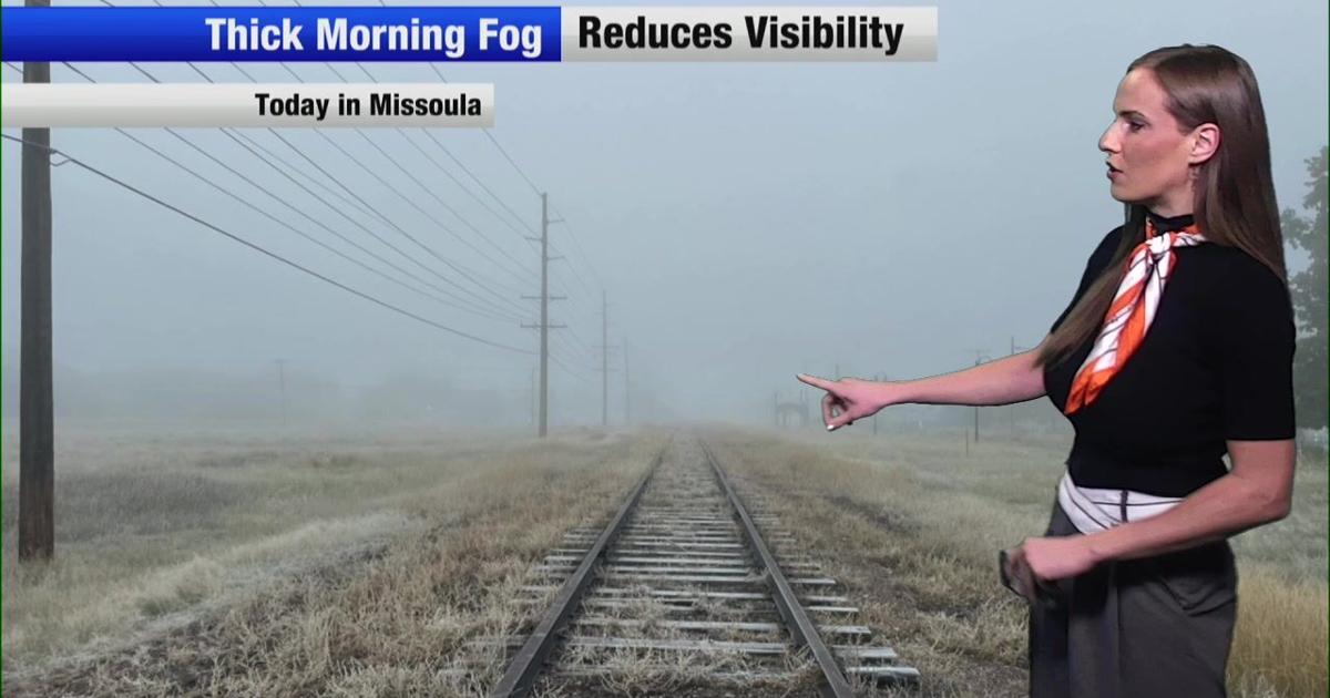
Nonstop Local News Montana Today, we saw dense fog in western valleys this morning This yielded to widespread sunshine in the afternoon across the region Highs reached the 50s in most major areas, which is normal for…
-
 [VIDEOS] Skiers Score Early-Season Powder in Montana After October Storm
Montana skiers didn’t wait for the chairlifts. On Monday, October 12, skiers and riders hiked for fresh turns at Showdown and Bridger Bowl after a weekend Montana snowstorm buried parts of the state. Nearby SNOTEL sites…
-
 Snow cover across parts of Montana
5-minute CONUS Sector GOES-19 (GOES-East) Day Snow-Fog RGB images (above) displayed the signature of snow cover (shades of red) across parts of Montana on 13 October 2026. This was remnant snow cover that fell 2 days…
Air quality
Air quality is satisfactory, and air pollution poses little or no risk.
Seeley Lake, MT reporting area · 1 hr ago. Data from AirNow (EPA and its state, local and tribal partners); preliminary and subject to change.
Sun & moon
Almanac
MonthlySkq Dam, records since 1951. Normals 1991–2020. Data from NOAA's Regional Climate Centers (ACIS).
Nearby
Forecasters' discussion
From the National Weather Service office in MSO, issued 18 hrs ago
Discussion
KEY MESSAGES:
- Mild day-time temperatures through Thursday.
- Patchy valley fog around sunrise each morning.
- Significant change coming Friday into the weekend.
A broad ridge of high pressure will continue to bring mild day- time temperatures across the Northern Rockies through Thursday. Stable conditions under the ridge are promoting the development of valley inversions and cold air pools, with observations the last few days suggesting high temperatures are struggling to reach their full warming potential. High cloud cover this morning into the early afternoon will limit solar heating, with temperatures feeling sluggish to warm until inversions weaken by mid-late afternoon. High clouds will generally decrease late afternoon as well, with plenty of sunshine for those looking to get outdoors.
Model guidance continues to advertise a significant change, as a trough and surface cold front tracks across the region Thursday night into Friday. The front will bring wind gusts of around 20 mph in Idaho and 20-35 mph across most of western Montana on Friday. Atmospheric moisture with this system will move northward the Great Basin, with precipitation focusing along and south of the I-90 corridor and along the Continental Divide in northwest Montana. The majority of the precipitation will fall within the warm sector of the trough, ahead of the approaching cold front, limiting the potential for winter weather impacts. Snow levels will fall to around 5,000 ft Friday and lower over the weekend as shower activity begins to decrease. Therefore, forecast snow amounts across the region are generally less than an inch, and mostly above 5,000 ft. The exception of course is the higher elevations of Flathead National Forest and Glacier National Park, which will likely pick up several inches of snow this weekend.
Aviation
Stable conditions will continue today under a ridge of high pressure. Valley inversions and cold air pools will set the stage for areas of valley fog, particularly near large bodies of water and river systems. The primary period to watch will be from 20/1200-1500Z, including Terminal KMSO. Fog can not be ruled out at KGPI as well, but the probability of impacts is less than 10 percent as high cloud cover has reduced overnight cooling.
Mso Watches
MT...None. ID...None.
Forecasts, observations and alerts in the United States come from the National Weather Service (NOAA); radar from NOAA's Multi-Radar Multi-Sensor system; satellite imagery from NASA's Global Imagery Browse Services (GIBS) and NOAA's GOES satellites; the map from the U.S. Geological Survey's National Map; air quality from AirNow (EPA and its partners); hurricane information from the National Hurricane Center; climate normals and records from NOAA's Regional Climate Centers (ACIS). Forecasts outside the United States and the UV index: MET Norway (CC BY 4.0); observations outside the U.S.: airport reports via NOAA's Aviation Weather Center. Place names: GeoNames (CC BY 4.0). Data are copied on a schedule and may lag the sources; for warnings that affect your safety, follow your local National Weather Service office and emergency officials. Weather news is drawn from the 4Search index and reflects what the press published. Terms of use.