Install
Helena, MT Weather
Current conditions
Forecast for this hour (no station report in the last two hours)
Forecast
10-day-
Friday
Rain before 2pm, then rain and snow between 2pm and 3pm, then rain and snow. Cloudy. High near 52, with temperatures falling to around 33 in the afternoon. West northwest wind 1 to 16 mph, with gusts as high as 30 mph. Chance of precipitation is 100%. New snow accumulation of less than half an inch possible.
-
Friday Night
Rain and snow likely before 10pm. Mostly cloudy, with a low around 28. West southwest wind 0 to 8 mph, with gusts as high as 22 mph. Chance of precipitation is 70%. Little or no snow accumulation expected.
-
Saturday
Sunny, with a high near 43. South southeast wind 1 to 5 mph.
National Weather Service forecast updated 18 hrs ago.
Hourly
Hourly forecast- Now50°94%
- 12 PM45°82%
- 1 PM40°91%
- 2 PM37°85%
- 3 PM36°84%
- 4 PM35°93%
- 5 PM33°76%
- 6 PM33°70%
- 7 PM33°65%
- 8 PM33°60%
- 9 PM33°29%
- 10 PM33°
- 11 PM32°
- Sat12 AM35°
- 1 AM35°
- 2 AM33°
- 3 AM32°
- 4 AM31°
- 5 AM30°
- 6 AM29°
- 7 AM28°
- 8 AM28°
- 9 AM28°
- 10 AM30°
10-day forecast
Details- TonightOct 22Mostly Cloudy then Slight Chance Light Rain23%42°
- TodayOct 23Rain0.3 in snow95%28°52°
- SatOct 24Sunny28°43°
- SunOct 25Sunny29°43°
- MonOct 26Mostly Sunny23%31°46°
- TueOct 27Chance Light Snow then Chance Light Rain38%30°45°
- WedOct 28Slight Chance Light Snow then Mostly Sunny<0.1 in snow18%28°41°
- ThuOct 29Partly Sunny13%42°
- FriOct 30Mostly sunny21°43°
- SatOct 31Sunny26°37°
Days after the National Weather Service's seven are MET Norway's outlook, a computer model with no forecaster's review.
Radar
Full mapWeather news near Helena
More weather news-
 Enjoying Autumn Foliage and Reading Under Warm Weather... Heavy Rain Expected Nationwide Tomorrow
Next, we have another story. With the warm weather, it was a day filled with citizens heading outdoors to enjoy the autumn atmosphere. However, the weather is set to change again tomorrow (October 18). Rain accompanied…
-
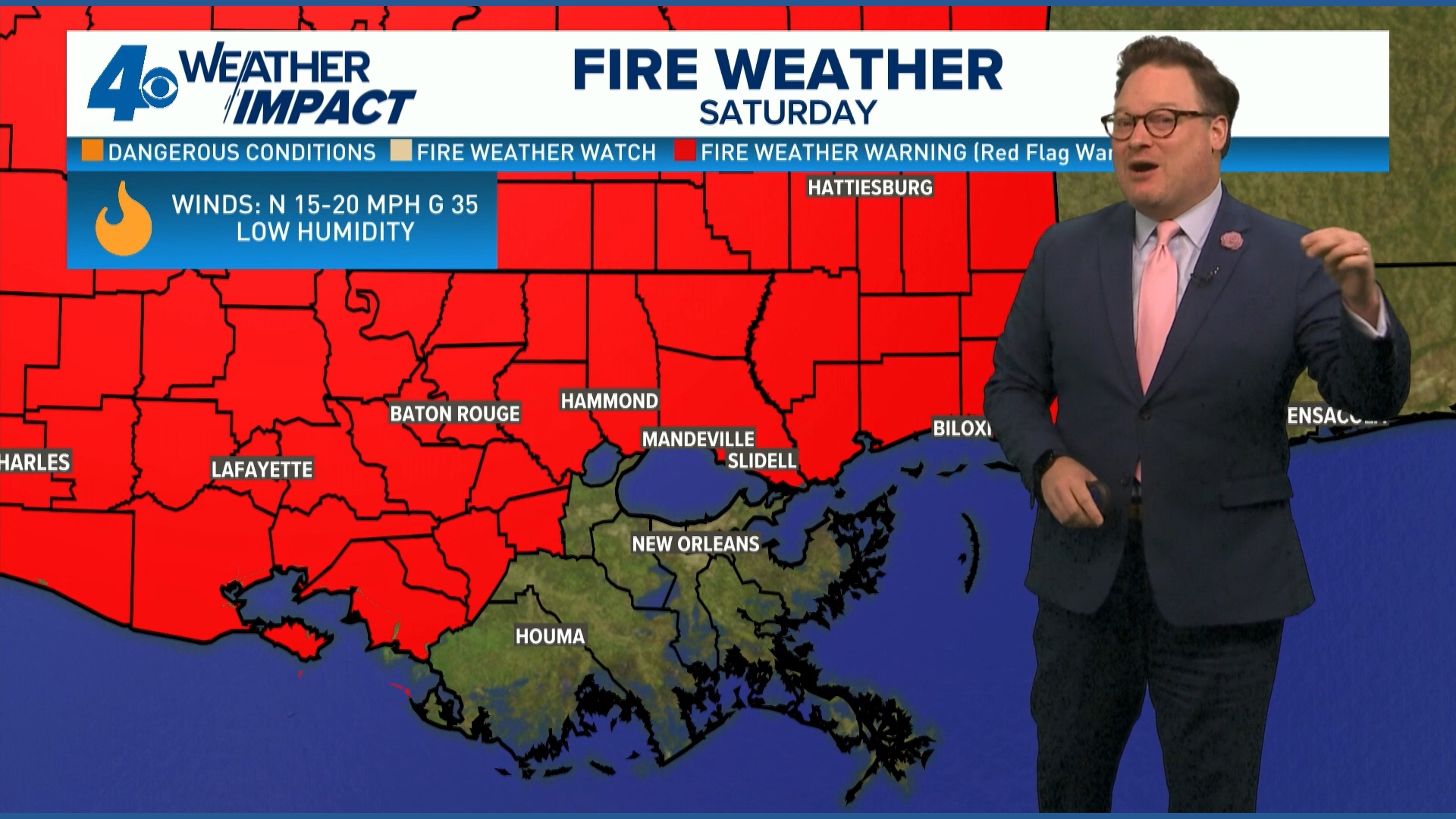 Red Flag Warning issued for parts of southeast Louisiana, southern Mississippi ahead of dry conditions
The National Weather Service has issued a Red Flag Warning for parts of southeast Louisiana and all of southern Mississippi on Friday. The warning is in effect from 9 a.m. until 8 p.m. on Saturday as forecasters say a…
-
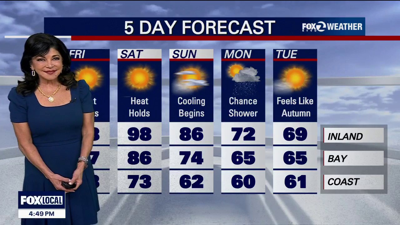 Red Flag Warning for parts of the Bay Area
Red Flag Warning: An official Red Flag Warning is active from 10:00 PM tonight through 11:00 AM Friday across the North Bay Interior Mountains. Diablo Winds: A classic weather setup is unleashing a dangerous Diablo Wind…
-
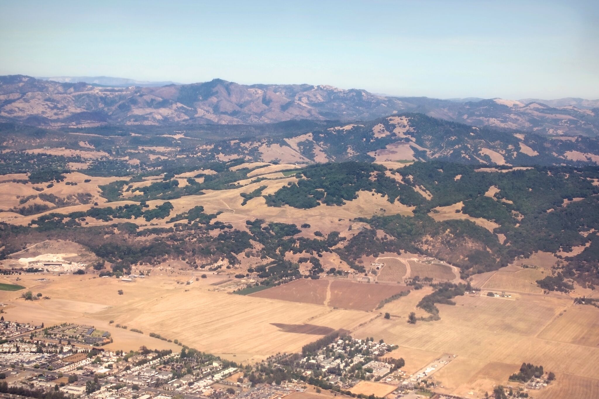 Red flag warning issued for North Bay over risk of 'rapid fire spread'
A view of Sonoma County near Santa Rosa and Taylor Mountain. Diablo winds are forecast for the region. The National Weather Service has issued a red flag warning for parts of the Bay Area as hot, dry winds gusting up to…
-
 [VIDEOS] Skiers Score Early-Season Powder in Montana After October Storm
Montana skiers didn’t wait for the chairlifts. On Monday, October 12, skiers and riders hiked for fresh turns at Showdown and Bridger Bowl after a weekend Montana snowstorm buried parts of the state. Nearby SNOTEL sites…
-
 See it: Early snow blankets the West as Great Falls piles up 16 inches
October snow delivered 15.7 inches over two days, ranking ninth among Great Fall's two-day snowfall totals. By Emilee Speck, AccuWeather staff writer Published Oct 13, 2026 2:56 PM EDT | Updated Oct 13, 2026 2:56 PM EDT…
-
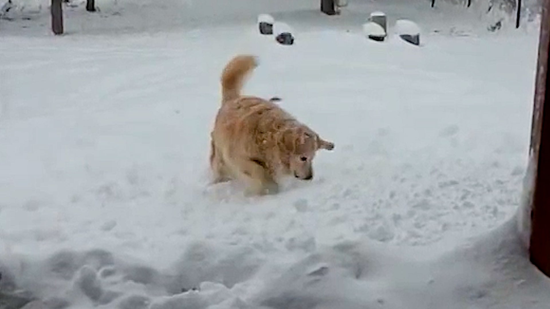 Dog has zero chill about Montana’s first snow of the season
The Weather Channel Snow much fun! Dog frolics in Montana’s first big snow of the season A dog frolics in fresh snow in a Helena, Montana, backyard after the season's first winter storm blanketed much of the state with…
-
 Farmers’ Almanac Reveals Montana’s Thanksgiving Weather Forecast
There's some good news for fans of the Farmers’ Almanac! After announcing plans to shut down in 2025, the historic publication has been given a new lease on life, and it's making a comeback in print in 2027. Not to be…
-
 Urgent Winter Weather Message Issued for 15 Counties in Montana as Snow Conditions Worsen
NWS Great Falls has issued Winter Weather Advisories for mountain areas of southwest and central Montana, with 2 to 5 inches of snow expected Friday. Gusts as high as 45 mph are possible in the Little Belt, Highwood…
-
 NOAA’s Latest Drought Forecast Isn’t Great News for Western Montana
We've been talking a lot lately about El Niño and what it could mean for Montana's winter. We've looked at forecasts from NOAA, the Old Farmer's Almanac, and other sources, with plenty of discussion about what kind of…
Air quality
Air quality is satisfactory, and air pollution poses little or no risk.
Helena, MT reporting area · 2 hrs ago. Data from AirNow (EPA and its state, local and tribal partners); preliminary and subject to change.
Sun & moon
Almanac
MonthlyHelena Airport Asos, records since 1938. Normals 1991–2020. Data from NOAA's Regional Climate Centers (ACIS).
Nearby
- Helena Valley Southeast 9 km
- Helena Valley West Central 8 km
- Helena Valley Northwest 15 km
- Helena Valley Northeast 13 km
- Deer Lodge 57 km
- Montana City 10 km
- East Helena 9 km
Forecasters' discussion
From the National Weather Service office in TFX, issued 17 hrs ago
Key Messages
- Significant shift to cooler and wetter conditions will occur on Friday.
- Rain develops tonight west of I-15 with rain and mountian snow early Friday and a transition to lower elevation snow by Friday evening before precipitation ends.
- Gusty to locally strong northwest winds develop across north-central Montana on Friday with much cooler temperatures spreading across the area by Friday afternoon.
- Drier but continued cooler than average conditions are expected for the weekend into early next week.
Discussion
/Issued 129 PM MDT Thu Oct 22 2026/
- Meteorological Overview:
A significant shift from the ongoing mild/benign weather is on track for Friday as an upper level trough moving onshore into CA/NV today lifts north across MT ahead of an eastward moving trough from northern Pacific.
The trough lifting out of CA/NV will spread unusually deep moisture for this time of year (PWATs>200% of normal) north into the area tonight through Friday morning with precipitation developing across western portions of the forecast area (mainly W of I-15) tonight as this moisture is drawn north along a deformation axis across the Northern Rockies. This precipitation will be a mix of decaying convection that develops over the Great Basin this afternoon with additional lift provided by upper jet energy lifting north from the Great Basin as well as in advance of the trough arriving from the NW.
The upper trough approaching from the NW crosses the Northern Rockies Friday afternoon, shifting the axis of precipitation east across the area while also bringing cooler air aloft and lowering snow levels before precipitation decreases from west to east Friday evening. Cooling aloft will support an initial drop in snow levels from above 9000 ft to around 6000-7000 ft across most of the area by Friday afternoon, resulting in a change to wet snow over the mountains. A secondary push of lower level cooling surges southeast out of AB as the northern upper trough axis emerges east of the Rockies and with surface low pressure deepening across eastern MT. Snow levels quickly lower to 3000-4000 ft across N-central MT as early as late Friday morning across Glacier county and by late Friday afternoon across eastern portions of north-central/central MT and Friday evening across SW MT valleys. Gusty to locally strong northwest winds develop with the surge of cooler air across N- central MT Friday, driven mostly by the surface pressure gradient behind the intensifying low to the east.
Mainly dry conditions follow for the weekend into at least early next week with temperatures remaining somewhat cooler than average for late October with afternoon temps in the mid-upper 40s and overnight lows in the 20s. A more unsettled period may develop by mid to late next week as the next trough digging southward along the west coast begins to shift inland, though there there is still considerable uncertainty with timing and details at this point. Hoenisch
Aviation
23/00z TAF Period
Initial concern this TAF period will be for rain developing tonight from south to north across the region. Ceilings slowly lower as the rain develops, eventually resulting in mountain obscuration by morning. A cold front then moves southward over the plains Friday morning and into Central and Southwest Montana valleys early in the afternoon. A sharp wind shift with gusty winds will accompany the front, along with even lower ceilings. Rain transitions to snow in many areas behind the cold front, though confidence in how quick this transition occurs is lower confidence across SW MT. Gusty winds will be strong at times over the plains through the afternoon Friday. -AM
Preliminary Point Temps
GTF 42 52 27 45 / 10 90 70 0 CTB 36 48 22 44 / 10 100 0 0 HLN 43 53 23 46 / 20 100 70 0 BZN 40 55 22 43 / 20 100 100 0 WYS 32 45 17 46 / 60 100 90 0 DLN 42 49 26 45 / 80 100 90 0 HVR 42 57 25 46 / 0 90 80 0 LWT 45 62 23 42 / 0 100 100 0
Forecasts, observations and alerts in the United States come from the National Weather Service (NOAA); radar from NOAA's Multi-Radar Multi-Sensor system; satellite imagery from NASA's Global Imagery Browse Services (GIBS) and NOAA's GOES satellites; the map from the U.S. Geological Survey's National Map; air quality from AirNow (EPA and its partners); hurricane information from the National Hurricane Center; climate normals and records from NOAA's Regional Climate Centers (ACIS). Forecasts outside the United States and the UV index: MET Norway (CC BY 4.0); observations outside the U.S.: airport reports via NOAA's Aviation Weather Center. Place names: GeoNames (CC BY 4.0). Data are copied on a schedule and may lag the sources; for warnings that affect your safety, follow your local National Weather Service office and emergency officials. Weather news is drawn from the 4Search index and reflects what the press published. Terms of use.