Install
Conrad, MT Weather
Current conditions
Forecast for this hour (no station report in the last two hours)
Forecast
10-day-
Wednesday
Sunny. High near 72, with temperatures falling to around 69 in the afternoon. South wind 2 to 7 mph.
-
Wednesday Night
Mostly clear, with a low around 40. Southwest wind around 3 mph.
-
Thursday
Mostly sunny, with a high near 73. South southwest wind 2 to 6 mph.
National Weather Service forecast updated 14 hrs ago.
Hourly
Hourly forecast- Now38°
- 10 AM46°
- 11 AM53°
- 12 PM59°
- 1 PM65°
- 2 PM68°
- 3 PM70°
- 4 PM71°
- 5 PM69°
- 6 PM67°
- 7 PM62°
- 8 PM55°
- 9 PM52°
- 10 PM51°
- 11 PM49°
- Thu12 AM47°
- 1 AM46°
- 2 AM45°
- 3 AM44°
- 4 AM43°
- 5 AM42°
- 6 AM42°
- 7 AM41°
- 8 AM41°
10-day forecast
Details- TonightOct 20Mostly Clear33°
- TodayOct 21Sunny40°72°
- ThuOct 22Mostly Sunny55%40°73°
- FriOct 23Light Rain81%28°52°
- SatOct 24Partly Sunny16%25°47°
- SunOct 25Slight Chance Light Snow20%22°41°
- MonOct 26Partly Sunny14%24°44°
- TueOct 27Partly Sunny47°
- WedOct 28Partly cloudy29°53°
- ThuOct 29Cloudy29°44°
Days after the National Weather Service's seven are MET Norway's outlook, a computer model with no forecaster's review.
Radar
Full mapWeather news near Conrad
More weather news-
 New Buffalo Beach sees ten-foot waves, 40mph wind gusts
NEW BUFFALO, Mich. -- Friday evening, New Buffalo beach saw wind gusts up to 40mph, scattered rain, and sand flying on to the parking lot. It was a picture-perfect day for weather chasers like New Buffalo resident…
-
 Abnormally warm air settles into Montana before big cooldown this weekend
Montana is enjoying some unseasonably warm weather this week, with highs reaching the 60s and 70s across much of the state, but a cooldown is on the way. A trough of low pressure moves in Thursday night, bringing heavy…
-
 A mild weather pattern holds across Montana, with changes set to arrive by end of week
Nonstop Local News Montana MONTANA -Ã Continuing through Thursday, much of the state will enjoy partly to mostly sunny skies, with a few light rain showers possible in the afternoon/evening, in areas of high elevation…
-
 Warming trend brings highs back into the 70s in some of Montana
Nonstop Local News Montana El Niño winter conditions ahead include drier and warmer than normal outlooks for Montana This pattern can bring dry, warm weather to the north and stormy, wet, cool weather to the southern…
-
 Gusty winds expected on Saturday in western Montana
KPAX News Gusty winds expected on Saturday in western Montana A mid-level jet streak will move over northern Montana on Saturday. This will bring stornger winds back to the area, with 30-40 MPH maximum gusts possible…
-
 Wind and temperatures on the rise for the weekend in Montana
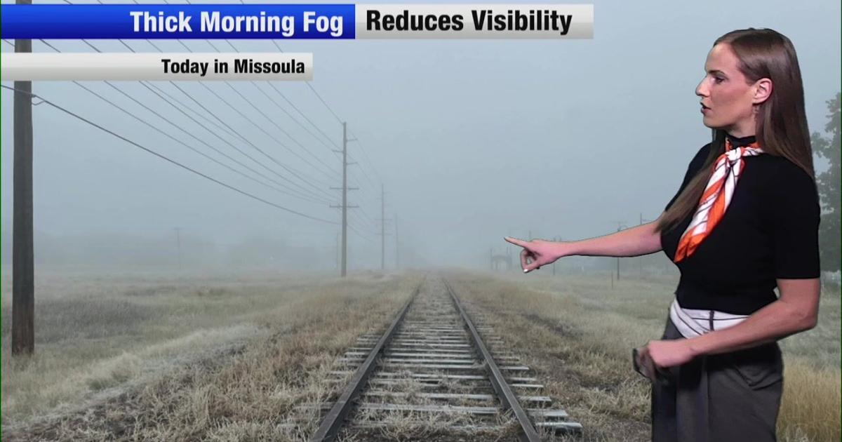
Nonstop Local News Montana Today, we saw dense fog in western valleys this morning This yielded to widespread sunshine in the afternoon across the region Highs reached the 50s in most major areas, which is normal for…
Air quality
Air quality is satisfactory, and air pollution poses little or no risk.
Choteau, MT reporting area · 1 hr ago. Data from AirNow (EPA and its state, local and tribal partners); preliminary and subject to change.
Sun & moon
Nearby
Forecasters' discussion
From the National Weather Service office in TFX, issued 4 hrs ago
Key Messages
- It will be mostly dry across North-central, Central, and Southwestern Montana through the day on Thursday.
- It will be windy across North-central Montana on Friday.
- Widespread precipitation returns late Thursday through Friday.
- Temperatures will be well-above seasonal averages through Thursday with temperatures cooling down Friday through this weekend.
Discussion
/Issued 140 AM MDT Wed Oct 21 2026/
- Meteorological Overview:
Today over Southwestern Montana there remains Southwest flow aloft with weak zonal flow (west-east) over North-central, and Central Montana. Due to slightly stronger warm air advection today temperatures will rebound to above seasonal averages. Across North- central and Central Montana it will be dry with a low chance for showers across Southwestern Montana today. See the Forecast Confidence & Scenarios Section for details. On Thursday there remains southerly flow aloft and an upper-level trough associated with a Pacific Cold front begins to move over North-central, Central, and Southwestern Montana by Thursday evening. This will allow temperatures to remain above seasonal averages with mostly dry weather until Thursday evening. Thursday evening into Friday morning precipitation will gradually spread over North-central, Central, and Southwestern Montana.
On Friday the upper-level trough merges with a shortwave trough moving south from Canada. This combined with the cold front that moved through will bring widespread precipitation and cooler temperatures (below seasonal averages) to the area. Due to the cold front that moved through Thursday evening into Friday morning snow-levels will lower and the precipitation that falls in mountain areas on Friday will transition from rain to snow by Friday evening. On Friday there is an increasing pressure gradient and strong low-level and mid-level winds. This will bring windy conditions to North-central Montana on Friday. On Saturday an upper-level ridge begins to build in over North-central, Central, and Southwestern Montana. This will allow the area to dry out with cool temperatures lingering.
On Sunday the upper-level ridge remains over North-central, Central, and Southwestern Montana. This will keep dry and cool (below seasonal averages) weather for the area on Sunday. Monday through Tuesday an upper-level trough moves over North-central, Central, and Southwestern Montana. This will bring cooler temperatures and widespread precipitation to the area on Monday and Tuesday. -IG
- Forecast Confidence & Scenarios:
Aviation
21/12Z TAF Period
VFR conditions will prevail at all terminals during this TAF Period with primarily light winds and high-level clouds around. At the KWYS terminal between 21/15Z and 21/22Z there is a 15 - 30% chance for rain showers. -IG
Preliminary Point Temps
GTF 73 45 74 42 / 0 0 0 30 CTB 68 39 70 38 / 0 0 0 60 HLN 69 39 71 43 / 10 10 0 40 BZN 67 38 70 40 / 10 0 0 30 WYS 60 29 62 32 / 30 10 10 70 DLN 65 38 66 41 / 20 10 0 80 HVR 69 37 73 40 / 0 0 0 20 LWT 71 45 75 43 / 0 0 0 20
Forecasts, observations and alerts in the United States come from the National Weather Service (NOAA); radar from NOAA's Multi-Radar Multi-Sensor system; satellite imagery from NASA's Global Imagery Browse Services (GIBS) and NOAA's GOES satellites; the map from the U.S. Geological Survey's National Map; air quality from AirNow (EPA and its partners); hurricane information from the National Hurricane Center; climate normals and records from NOAA's Regional Climate Centers (ACIS). Forecasts outside the United States and the UV index: MET Norway (CC BY 4.0); observations outside the U.S.: airport reports via NOAA's Aviation Weather Center. Place names: GeoNames (CC BY 4.0). Data are copied on a schedule and may lag the sources; for warnings that affect your safety, follow your local National Weather Service office and emergency officials. Weather news is drawn from the 4Search index and reflects what the press published. Terms of use.