Install
Circle, MT Weather
Current conditions
Forecast for this hour (no station report in the last two hours)
Forecast
10-day-
Today
Mostly sunny, with a high near 65. North wind 0 to 8 mph.
-
Tonight
Mostly clear, with a low around 33. Northeast wind 1 to 6 mph.
-
Wednesday
Mostly sunny, with a high near 66. Southeast wind 1 to 12 mph, with gusts as high as 20 mph.
National Weather Service forecast updated 7 hrs ago.
Hourly
Hourly forecast- Now61°
- 1 PM63°
- 2 PM64°
- 3 PM65°
- 4 PM64°
- 5 PM63°
- 6 PM58°
- 7 PM51°
- 8 PM48°
- 9 PM46°
- 10 PM45°
- 11 PM43°
- Wed12 AM41°
- 1 AM40°
- 2 AM39°
- 3 AM39°
- 4 AM37°
- 5 AM36°
- 6 AM36°
- 7 AM34°
- 8 AM38°
- 9 AM41°
- 10 AM50°
- 11 AM55°
10-day forecast
Details- TodayOct 20Mostly Sunny33°65°
- WedOct 21Mostly Sunny45°66°
- ThuOct 22Sunny48°75°
- FriOct 23Chance Light Rain79%33°70°
- SatOct 24Slight Chance Light Rain then Partly Sunny15%27°49°
- SunOct 25Mostly Sunny26°50°
- MonOct 26Mostly Sunny27°49°
- TueOct 27Sunny31°50°
- WedOct 28Sunny26°46°
- ThuOct 29Sunny24°42°
Days after the National Weather Service's seven are MET Norway's outlook, a computer model with no forecaster's review.
Radar
Full mapWeather news near Circle
More weather news-
 Lane shift planned on Mount Vernon Drive in Iowa City
Drivers on Mount Vernon Drive in Iowa City should expect shifted lanes starting Tuesday, Oct. 20, weather permitting.The lane shift will affect the stretch betw ... Lane shift planned on Mount Vernon Drive in Iowa City…
-
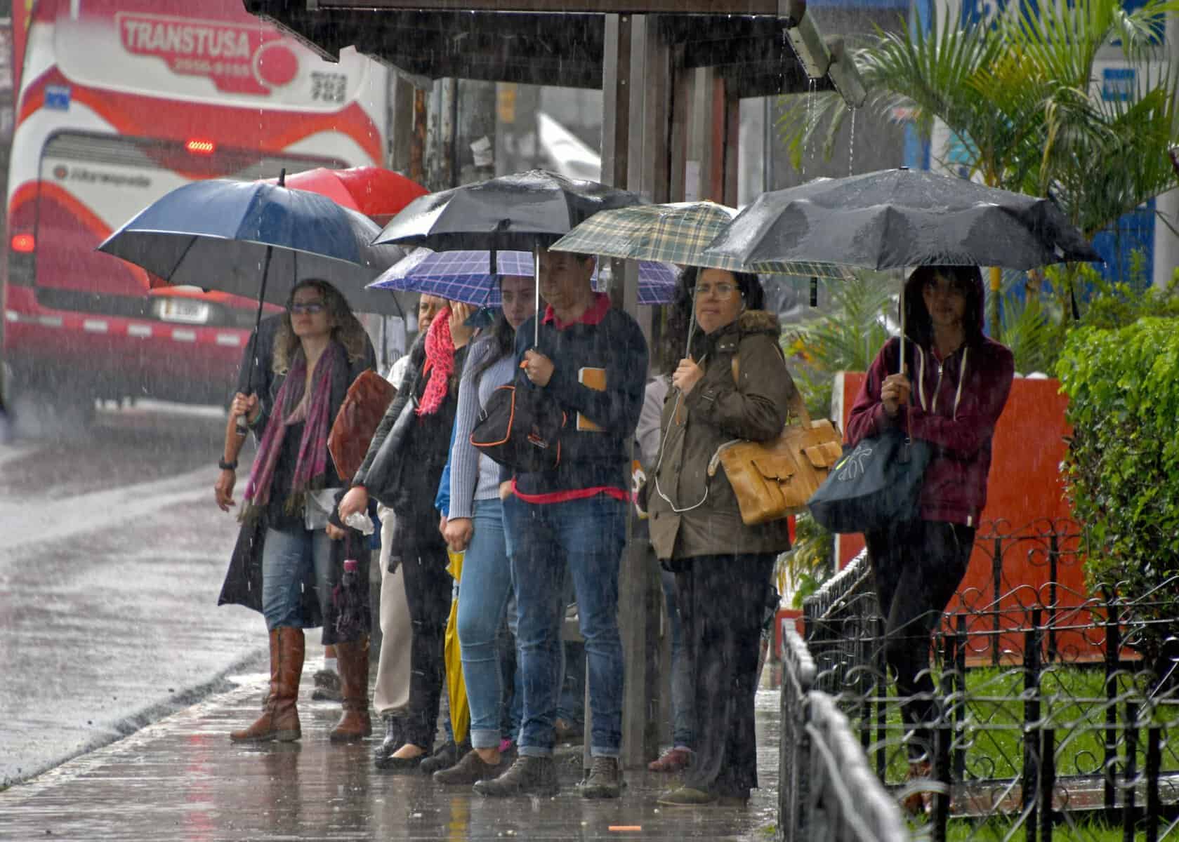 Costa Rica Storms Return After 2,000 Lightning Strikes in One Day
Afternoon storms are back across Costa Rica after 2,000 lightning strikes Friday. What to expect where you are and how to stay safe. COSTA RICA'S LEADING ENGLISH LANGUAGE NEWSPAPER Costa Rica Storms Return After 2,000…
-
 Saturday tropical update
Action News Jax Action News Jax Now Action News Jax Weather 24/7 Action Sports Jax 24/7 Action News Jax 24/7 News Late artist Lil Poppaâs mother launches foundation focused on youth mental health Thunderbirds, Blue…
-
 High wind and heavy rain to hit UK - followed by very cold weather
A climate expert says the UK is set to see stormy weather with high winds and heavy rain, followed by a very cold snap. But she says there is unlikely to be a lot of wind during the cold spell, with cloud cover also…
-
 First Alert Forecast - Fri. Oct. 16th - Late Evening Update
Action News Jax Action News Jax Now Action News Jax Weather 24/7 Action Sports Jax 24/7 Action News Jax 24/7 News Late artist Lil Poppaâs mother launches foundation focused on youth mental health Thunderbirds, Blue…
-
 Haze watch Oct 17: Hourly PM2.5 in western region back in high band, PSI remains unhealthy, Singapore News
After 18 hours in the elevated band, hourly PM2.5 in western Singapore climbed back into the high band (151 to 250µg/m3) at 11am on Saturday (Oct 17) morning. The western concentration reading returned to the elevated…
- Outdoor sports facilities at all ActiveSG, The Kallang venues resume operations on Oct 17
Published Oct 17, 2026, 08:25 AM Updated Oct 17, 2026, 10:17 AM SINGAPORE – All ActiveSG sport facilities have resumed operations on Oct 17, as haze conditions eased slightly with the 24-hour Pollutant Standard Index…
- Northern Lights Sweep Moscow And Volga As Powerful G3 Geomagnetic Storm Hits Russia
Northern Lights glow across the night sky over Russia during a powerful G3 geomagnetic storm. (Screengrab of video) Russia: Bright green Northern Lights swept across parts of Russia overnight from Saturday, 10 October…
- Weather today, forecast for Saturday, October 17: Cool, rain in the southeast
Oct 17, 2026 03:00 105 Cool weather with variable, more often significant cloudiness is expected in Bulgaria on Saturday, October 17. In the southeastern regions there will be rain, and the wind will be mainly from the…
-
 Met Office issues major UK snow update as El Nino 'strengthening rapidly'
Members of the public are wondering if a white Christmas is on the way(Image: Derby Telegraph) The Met Office has provided a major UK snow update as El Nino continues ‘strengthening rapidly’ ahead of reaching its peak…
Sun & moon
Almanac
MonthlyCircle, records since 1963. Normals 1991–2020. Data from NOAA's Regional Climate Centers (ACIS).
Forecasters' discussion
From the National Weather Service office in GGW, issued 13 hrs ago
Key Messages
- Dry weather conditions will continue along with seasonable temperatures through the midweek.
- Precipitation chances look to increase late Thursday night into Friday.
- Cooler and drier weather expected for the weekend.
Discussion
Gusty southeast winds that had preceded the approaching upper ridge have diminished across the area allowing the Lake Wind Advisory that had been in effect across Fort Peck Lake to expire on time. Next, attention focuses on seasonably warm and dry weather as the ridge translates east through the midweek across NE Montana. High temperatures will peak on Thursday as the ridge axis begins to push downstream of the CWA.
Meanwhile, a deepening upper level trough will send southerly upper level flow across the region as a surface cold front slides through Thursday night and Friday. As Pacific moisture advances ahead of this trough, rain chances will increase behind the front Thursday night into Friday before shifting east by Saturday morning. Current ensemble means depict a quarter to a half of an inch over the CWA with lesser amounts toward Wibaux.
Look for drier albeit far cooler weather conditions for the weekend behind the departing system.
FORECAST CONFIDENCE & DEVIATIONS:
NBM held the line this forecast cycle capturing large scale trends in the short to medium term efficiently given the benign weather expected with the upper level ridge. Confidence continues to increase on precipitation chances by Friday, though details on precipitation timing and placement as well as specific amounts will come into focus as the event heads into the short term and is better resolved by high resolution models.
Aviation
LAST UPDATED: Tuesday October 20, 2026 at 0400Z.
FLIGHT CAT RANGE: VFR.
DISCUSSION: Upper ridging will guide seasonably mild and dry conditions through the midweek.
WIND: Light and variable winds will become north to northeast at 5 to 9 kts after 18Z Tuesday.
LLWS: Low level wind shear is possible Tuesday morning near KSDY and KGDV but should diminish during the afternoon.
Ggw Watches
None.
Forecasts, observations and alerts in the United States come from the National Weather Service (NOAA); radar from NOAA's Multi-Radar Multi-Sensor system; satellite imagery from NASA's Global Imagery Browse Services (GIBS) and NOAA's GOES satellites; the map from the U.S. Geological Survey's National Map; air quality from AirNow (EPA and its partners); hurricane information from the National Hurricane Center; climate normals and records from NOAA's Regional Climate Centers (ACIS). Forecasts outside the United States and the UV index: MET Norway (CC BY 4.0); observations outside the U.S.: airport reports via NOAA's Aviation Weather Center. Place names: GeoNames (CC BY 4.0). Data are copied on a schedule and may lag the sources; for warnings that affect your safety, follow your local National Weather Service office and emergency officials. Weather news is drawn from the 4Search index and reflects what the press published. Terms of use.