Install
Pleasant Hill, MO Weather
Current conditions
Observed at Kansas City - Lee's Summit Regional Airport · 31 min ago
Forecast
10-day-
Friday Night
Partly cloudy, with a low around 54. South southeast wind around 7 mph.
-
Saturday
Mostly sunny, with a high near 78. South wind around 8 mph.
-
Saturday Night
Mostly cloudy, with a low around 53.
National Weather Service forecast updated 1 day ago.
Hourly
Hourly forecast- Now55°
- 6 AM54°
- 7 AM54°
- 8 AM56°
- 9 AM59°
- 10 AM63°
- 11 AM67°
- 12 PM71°
- 1 PM75°
- 2 PM77°
- 3 PM78°
- 4 PM78°
- 5 PM76°
- 6 PM73°
- 7 PM70°
- 8 PM68°
- 9 PM65°
- 10 PM62°
- 11 PM60°
- Sun12 AM59°
- 1 AM58°
- 2 AM57°
- 3 AM56°
- 4 AM56°
10-day forecast
Details- ThuOct 22Sunny51°78°
- FriOct 23Sunny54°79°
- TodayOct 24Mostly Sunny53°78°
- SunOct 25Partly Sunny53°79°
- MonOct 26Partly Sunny52°77°
- TueOct 27Mostly Cloudy10%50°70°
- WedOct 28Mostly Sunny22%48°71°
- ThuOct 29Sunny40°56°
- FriOct 30Sunny37°54°
- SatOct 31Showers0.10 in49°65°
Days after the National Weather Service's seven are MET Norway's outlook, a computer model with no forecaster's review.
Radar
Full mapWeather news in Missouri
More weather news-
 Thursday Evening Forecast: Mid-Missouri Weather Update
KRCG has released its Thursday evening forecast for the mid-Missouri viewing area covering October 22, 2026. The update details expected temperatures, cloud cover and precipitation chances for the coming hours and…
-
 Freeze alerts stretch from Missouri to New York for Sunday
Temps drop for millions across the Central Plains, Midwest, Northeast The first real taste of fall is settling in for millions, including a few first frosts and freezes of the season for some in the Midwest and East…
-
 Saturday Evening Forecast: What Mid-Missouri Can Expect Next
Saturday evening's forecast from KRCG lays out what Mid-Missouri can expect as the weekend winds down. Forecasters break down temperatures, cloud cover,... - Saturday evening's forecast from KRCG lays out what…
-
 Missouri farmers wait as rains stall fieldwork
A farmer in west-central Missouri says the recent rains are delaying early planting, and while the moisture is needed, it’s heavier than expected. “So far, we’ve had a little more than four inches since the start of the…
-
 Severe weather possible Tuesday in Southeast Michigan. Here's the timing and what to look for.
Updated on: April 14, 2026 / 11:50 PM EDT / CBS Detroit A severe weather threat exists for Tuesday, and Southeast Michigan is squarely in the path. A potent weather system is dragging unseasonably warm, humid air into…
-
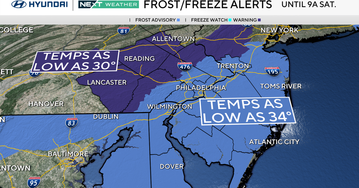 Freeze warning in effect for parts of Philadelphia region as chilly air moves in. Here's the weather forecast.
October 23, 2026 / 11:57 PM EDT / CBS Philadelphia With fall comes some frosty mornings, and that's exactly what's on tap this weekend in the Philadelphia region. Temperatures Saturday morning along the I-95 corridor…
-
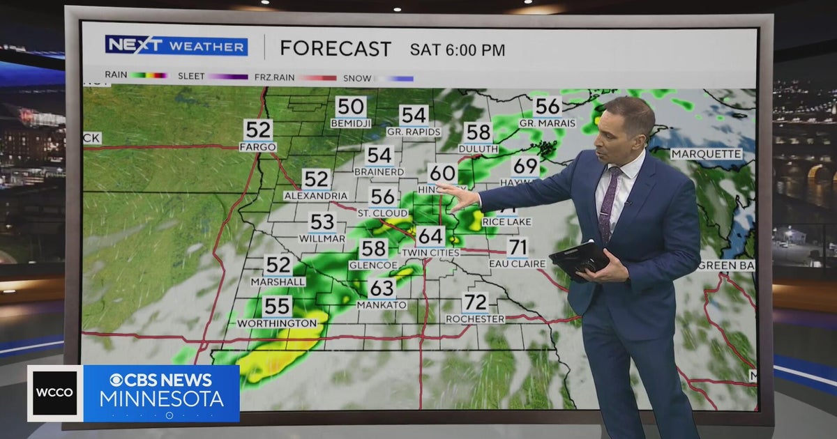 Minnesota weather to feature warm temps Saturday before cooldown | Oct. 23, 2026
CBS News Minnesota is a local news organization that is part of CBS News and Stations. Also referred to as WCCO-TV and channel 4, CBS News Minnesota offers local breaking news, weather coverage and investigative…
-
 Second storm to hit UK with more wind and rain as thousands remain without power
Rough sea along the Dorset coastline on Friday A second storm in as many days is set to batter parts of the UK, as thousands remain without power following powerful winds and heavy rain on Friday. Storm Boelo is…
-
 Thousands without power after Austen batters UK as second storm nears
Thousands of homes are without power in south-west England after Storm Austen hit the region, as the north of the country braces for a second storm. Strong winds and heavy, frequent showers are set to batter northern…
-
 Before you crank up the thermostat, try these tips to keep your house warmer for longer
As the UK braces for a chilly weekend, with powerful winds and heavy rain hitting parts of the country, people are looking for ways to bring some warmth to their homes without cranking up the heating just yet. It is…
Air quality
Acceptable. Unusually sensitive people should consider limiting prolonged outdoor exertion.
Forecast
- SatModerate (54)
Kansas City, MO reporting area · 1 hr ago. Data from AirNow (EPA and its state, local and tribal partners); preliminary and subject to change.
Sun & moon
Almanac
MonthlyKansas City Richards Gebaur Ap, records since 1954. Normals 1991–2020. Data from NOAA's Regional Climate Centers (ACIS).
Nearby
- Kansas City 44 km
- Overland Park 41 km
- Kansas City 48 km
- Olathe 49 km
- Independence 36 km
- Lee's Summit 17 km
- Shawnee 48 km
- Blue Springs 26 km
- Lenexa 44 km
- Leawood 36 km
- Liberty 53 km
- Raytown 30 km
Forecasters' discussion
From the National Weather Service office in EAX, issued 11 hrs ago
Key Messages
- Dry and warm conditions continue through the weekend. Temperatures fluctuate next week trending cooler toward the end of next week.
- Precipitation chances next Monday into Tuesday are trending lower. Additional chances for rain arrive late next week.
Discussion
Issued at 240 PM CDT Fri Oct 23 2026
If you quickly looked at the 500mb analysis between yesterday and this morning, it might seem like little has changed. That is somewhat accurate across the central CONUS and eastern Rockies. The axis of the ridge that dominates the center part of the country has shifted a little south and east as the trough across the western CONUS moves a bit east northeastward. These subtle movements are the beginning of an overall pattern shift that is expected next week.
For the next few days, above normal temperatures and dry conditions continue. Highs will be in the mid to upper 70s with a few spots touching 80 degrees. Winds will probably be the most interesting weather variable of the day as diurnal mixing will mix swifter flowing 850 flow down to the surface; however, the peak of the 850mb flow resides over central KS extending into eastern NE and western IA; therefore, gusts (around 20-25 MPH) will likely be concentrated to areas along and west of the I-35 to I-49 corridors.
As Friday becomes Saturday, a trough continues to progress eastward across the western CONUS. Simultaneously a low to midlevel high across the eastern seaboard expands westward toward the MO/KS border. The end result is a cutoff of midlevel flow yielding a warm and dry weekend with less gusty winds.
Deterministic model guidance suggests the southern part of the western trough developing into a cut off low over the four corners region Sunday. This could further the ongoing storms across that region and play a significant role in the weather picture for later next week. There is some skepticism as its imminent formation is not fully clear on water vapor satellite imagery, but it is more likely to manifest itself towards sunrise Saturday. The primary influence this system would have is enabling development of showers and storms along a synoptic front anticipated to develop from west Texas through the northern Great Lakes. This front will be competing against the large high across the eastern CONUS mentioned earlier. Previous model iterations were more optimistic about precipitation making its was eastward late Monday into Tuesday; however, recent runs have been trending drier with precipitation chances around 10- 25 percent and those chances only making it to the St Joseph area and points northwest. Dry and stable air ahead of the front look to win out lowering the chances of rain across the region. However, this does not mean the colder air would be held off. Another upper level wave pushes a lower level high pressure from interior Canada into the central CONUS which will deliver the cooler air. High temperatures decrease to the lower 70s before rebounding again thanks to some sinusoidal action in the 500mb flow; however, another tag team of upper level waves and Canadian air masses look to lower temperatures back down toward the upper 60s.
Looking at the extended forecast, guidance suggest further waves moving across the region with a slow moving synoptic scale cold front expected to drape across the central part of the country toward the end of next week. Many models have been using this as a focus for shower and storm development; however, at this time scale models usually broad brush precipitation potential. Therefore, uncertainties linger with precipitation probabilities currently sitting around 10-20 percent Thursday and 20-40 percent Friday with more fluctuations expected as the forecast updates.
Aviation
Issued at 614 PM CDT Fri Oct 23 2026
VFR conditions through the period. Southeast winds prevail through the period. Low level jet tonight will lead to slightly stronger winds tonight. Weak mixing Saturday will limit the potential for gusty winds Saturday afternoon.
Eax Watches
MO...None. KS...None.
Forecasts, observations and alerts in the United States come from the National Weather Service (NOAA); radar from NOAA's Multi-Radar Multi-Sensor system; satellite imagery from NASA's Global Imagery Browse Services (GIBS) and NOAA's GOES satellites; the map from the U.S. Geological Survey's National Map; air quality from AirNow (EPA and its partners); hurricane information from the National Hurricane Center; climate normals and records from NOAA's Regional Climate Centers (ACIS). Forecasts outside the United States and the UV index: MET Norway (CC BY 4.0); observations outside the U.S.: airport reports via NOAA's Aviation Weather Center. Place names: GeoNames (CC BY 4.0). Data are copied on a schedule and may lag the sources; for warnings that affect your safety, follow your local National Weather Service office and emergency officials. Weather news is drawn from the 4Search index and reflects what the press published. Terms of use.