Install
Licking, MO Weather
Current conditions
Observed at Fort Leonard Wood · 1 hr ago
Forecast
10-day-
Overnight
Partly cloudy, with a low around 44. Wind chill values as low as 44. Southeast wind around 3 mph.
-
Wednesday
Sunny. High near 75, with temperatures falling to around 73 in the afternoon. Southeast wind around 3 mph.
-
Wednesday Night
Mostly clear, with a low around 45. Wind chill values as low as 46. Northeast wind around 2 mph.
National Weather Service forecast updated 1 hr ago.
Hourly
Hourly forecast- Now47°
- 4 AM46°
- 5 AM45°
- 6 AM45°
- 7 AM44°
- 8 AM45°
- 9 AM52°
- 10 AM62°
- 11 AM66°
- 12 PM70°
- 1 PM73°
- 2 PM74°
- 3 PM75°
- 4 PM75°
- 5 PM73°
- 6 PM70°
- 7 PM64°
- 8 PM57°
- 9 PM54°
- 10 PM52°
- 11 PM51°
- Thu12 AM50°
- 1 AM49°
- 2 AM48°
10-day forecast
Details- TonightOct 20Partly Cloudy44°
- TodayOct 21Sunny45°75°
- ThuOct 22Sunny44°77°
- FriOct 23Sunny45°78°
- SatOct 24Mostly Sunny48°77°
- SunOct 25Partly Sunny47°77°
- MonOct 26Partly Sunny47°75°
- TueOct 27Slight Chance Rain Showers21%67°
- WedOct 28Cloudy54°69°
- ThuOct 29Cloudy48°61°
Days after the National Weather Service's seven are MET Norway's outlook, a computer model with no forecaster's review.
Radar
Full mapWeather news near Licking
More weather news- Freeze watch goes into effect Oct. 17 for central Ohio, other counties
The National Weather Service in Wilmington has issued a freeze watch for central Ohio and large swaths of the state that will go into effect this weekend. The freeze watch will go into effect on Saturday night, Oct. 17…
-
 Springfield temperatures were hotter in September than July
Skip the blur: Unlock a full year of access for just $40, or join our monthly plan for $4! September 2026 was Missouri’s warmest September on record, along with being generally dry, according to the University of…
-
 DeKalb County weathers Isaias relatively well
Hurricane Isaias, the first Atlantic storm of the 2026 hurricane season, made its impact felt across the Southeast over the weekend. The impact Isaias had on utilities in the area was also relatively lighter, Officials…
-
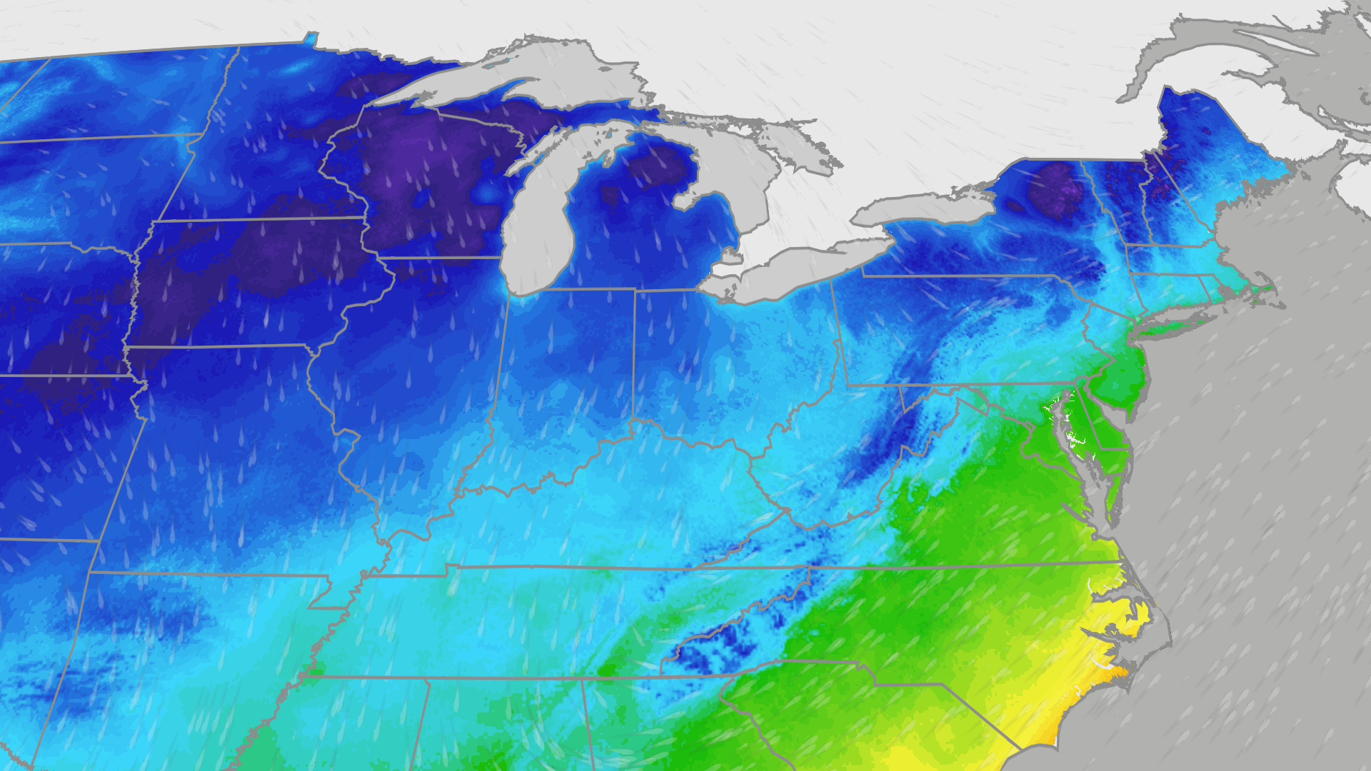 Freeze alerts stretch from Missouri to New York for Sunday
Temps drop for millions across the Central Plains, Midwest, Northeast The first real taste of fall is settling in for millions, including a few first frosts and freezes of the season for some in the Midwest and East…
-
 Saturday Evening Forecast: What Mid-Missouri Can Expect Next
Saturday evening's forecast from KRCG lays out what Mid-Missouri can expect as the weekend winds down. Forecasters break down temperatures, cloud cover,... - Saturday evening's forecast from KRCG lays out what…
-
 More vibrant fall colors are in the forecast this year in northeast Missouri
HANNIBAL (WGEM) - Fall color is just starting to show in northeast Missouri, but the Missouri Department of Conservation (MDC) expects a more vibrant season this year, with peak color still about two weeks away. MDC…
-
 Warm weather slows Missouri early antlerless deer harvest
Missouri hunters harvested 6,524 deer during the firearms Early Antlerless Portion of the deer season held Oct. 9-11, with warm weather contributing to lower totals than a year ago. The harvest figures were released by…
-
 Forecast: Passing showers and storms before cooler air returns to mid-Missouri
Cloudy with showers. Highs in the mid 70s.. Cloudy. Lows in the middle 40s. Forecast from KOMU 8 News Today on 10/15/2026 Happy Thursday! Keep those umbrellas and raincoats handy, as we will see another round of showers…
-
 Damaging Winds Possible in Illinois and Missouri Thursday
Parts of Missouri and most of Illinois are likely to experience the type of thunderstorm you'd expect to see during the Spring months. Forecasters are warning of a possible damaging wind event that will likely leave…
-
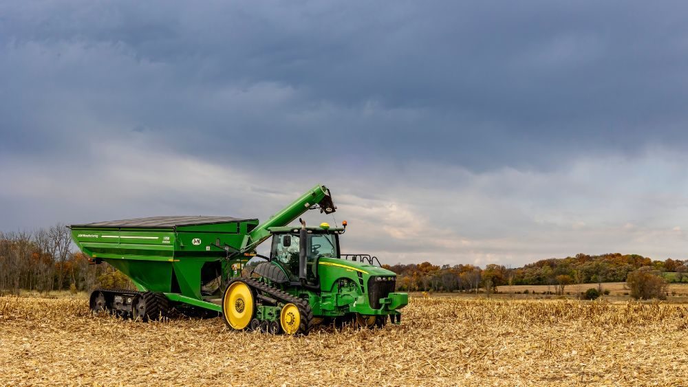 Heavy Rain Threatens Harvest Progress in Kansas and Missouri
Dakota News Network Heavy Rain Threatens Harvest Progress in Kansas and Missouri Heavy rain and potentially severe thunderstorms could disrupt fall harvest operations across parts of Kansas and Missouri this week. The…
Sun & moon
Almanac
MonthlyHouston, records since 1893. Normals 1991–2020. Data from NOAA's Regional Climate Centers (ACIS).
Nearby
- Rolla 51 km
- Fort Leonard Wood 35 km
- Waynesville 47 km
- Salem 33 km
- Mountain Grove 55 km
- Saint Robert 46 km
- Saint James 59 km
- Mountain View 58 km
- Willow Springs 57 km
- Cabool 47 km
- Houston 21 km
Forecasters' discussion
From the National Weather Service office in SGF, issued 2 hrs ago
Key Messages
- Above normal temperatures with a warming trend into late week. Highs in the middle to upper 70s, near 80 are likely into the weekend. Mostly dry weather expected to persist.
- Medium to high confidence in above normal temperatures to persist through the end of October.
Short Term
Issued at 101 AM CDT Wed Oct 21 2026
Ridging will continue to support dry and warmer than normal conditions today and tonight. A few sprinkles are possible as weak shortwave energy moves through, but as we have already seen tonight, dry low to mid level air is preventing anything measurable from reaching the surface.
Look for highs in the mid 70s today and lows in the mid 40s to low 50s.
Long Term
Issued at 101 AM CDT Wed Oct 21 2026
High pressure will continue to build through the weekend into early next week according to ensemble data, with high confidence in well above normal conditions (highs in the 70s to around 80). No precip is expected in this time frame.
Toward the middle of next week around 10-15% of ensembles are showing some rain over the area as a trough passes through the area. There remains quite a bit of uncertainty with all forecast parameters due to model spread. For example, NBM 25-75th percentile MaxT spread increases to around 15 degrees on Tuesday and Wednesday next week.
Aviation
Issued at 1056 PM CDT Tue Oct 20 2026
VFR conditions expected to prevail through the TAF period. Southeasterly winds <6 kts will be so light they're more variable than southeasterly at the surface. Scattered mid-level clouds may produce some sprinkles aloft across the region at times into the morning, but the expected sprinkles are not expected to reach the ground due to the dry low-level air mass in place.
Forecasts, observations and alerts in the United States come from the National Weather Service (NOAA); radar from NOAA's Multi-Radar Multi-Sensor system; satellite imagery from NASA's Global Imagery Browse Services (GIBS) and NOAA's GOES satellites; the map from the U.S. Geological Survey's National Map; air quality from AirNow (EPA and its partners); hurricane information from the National Hurricane Center; climate normals and records from NOAA's Regional Climate Centers (ACIS). Forecasts outside the United States and the UV index: MET Norway (CC BY 4.0); observations outside the U.S.: airport reports via NOAA's Aviation Weather Center. Place names: GeoNames (CC BY 4.0). Data are copied on a schedule and may lag the sources; for warnings that affect your safety, follow your local National Weather Service office and emergency officials. Weather news is drawn from the 4Search index and reflects what the press published. Terms of use.