Install
Bellefontaine Neighbors, MO Weather
Current conditions
Observed at St. Louis Lambert International Airport · 45 min ago
Forecast
10-day-
Today
Mostly sunny, with a high near 77. Southwest wind around 5 mph.
-
Tonight
Partly cloudy, with a low around 53. South wind around 3 mph.
-
Tuesday
Mostly cloudy, with a high near 76. South wind 1 to 7 mph.
National Weather Service forecast updated 3 hrs ago.
Hourly
Hourly forecast- Now59°
- 10 AM64°
- 11 AM68°
- 12 PM71°
- 1 PM75°
- 2 PM76°
- 3 PM77°
- 4 PM77°
- 5 PM76°
- 6 PM73°
- 7 PM67°
- 8 PM64°
- 9 PM62°
- 10 PM60°
- 11 PM59°
- Tue12 AM58°
- 1 AM57°
- 2 AM57°
- 3 AM55°
- 4 AM55°
- 5 AM54°
- 6 AM54°
- 7 AM53°
- 8 AM54°
10-day forecast
Details- TodayOct 26Mostly Sunny53°77°
- TueOct 27Mostly Cloudy55°76°
- WedOct 28Mostly Sunny56°79°
- ThuOct 29Sunny10%58°84°
- FriOct 30Partly Sunny11%59°80°
- SatOct 31Chance Rain Showers48%59°76°
- SunNov 1Chance Rain Showers32%56°76°
- MonNov 2Heavy showers1.47 in62°77°
- TueNov 3Cloudy0.04 in53°66°
- WedNov 4Cloudy46°60°
Days after the National Weather Service's seven are MET Norway's outlook, a computer model with no forecaster's review.
Radar
Full mapWeather news near Bellefontaine Neighbors
More weather news-
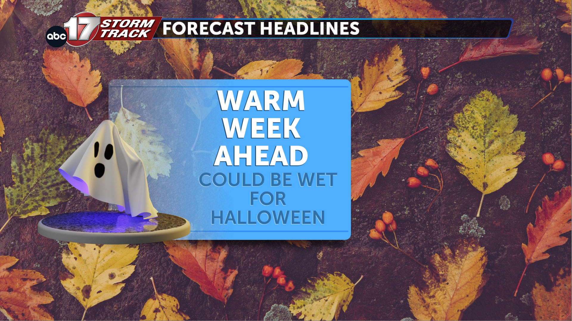 Tracking a mild week with wet weather around Halloween
TONIGHT: Mostly cloudy and mild with lows in the lower 50s. TOMORROW: Partly to mostly cloudy with highs in the upper 70s. EXTENDED: Our stubborn upper pattern continues to hold across Mid-Missouri for much of the…
-
 MoDOT releases mid-Missouri roadwork plans for Oct. 25-31
Mostly Cloudy. Highs in the upper 70s.. Mostly cloudy. Lows in the middle 50s. Roadwork ranging from rural routes to state roads to U.S. highways will affect mid-Missouri from Monday through Sunday, according to the…
-
 Thursday Evening Forecast: Mid-Missouri Weather Update
KRCG has released its Thursday evening forecast for the mid-Missouri viewing area covering October 22, 2026. The update details expected temperatures, cloud cover and precipitation chances for the coming hours and…
-
 Missouri farmers wait as rains stall fieldwork
A farmer in west-central Missouri says the recent rains are delaying early planting, and while the moisture is needed, it’s heavier than expected. “So far, we’ve had a little more than four inches since the start of the…
-
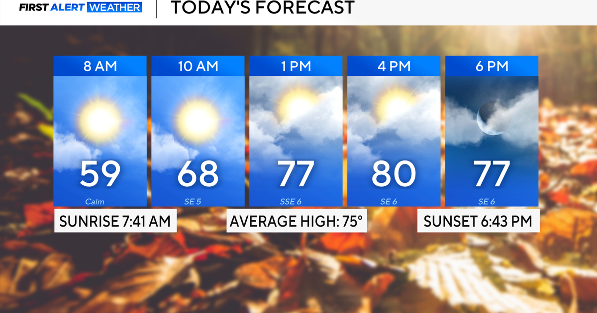 Rain chances on the rise for North Texas this week
October 26, 2026 / 8:16 AM CDT / CBS Texas North Texas woke up to partly to mostly cloudy skies and high temperatures in the 50s and 60s. You'll want to grab that light jacket as you head out the door. We'll continue to…
-
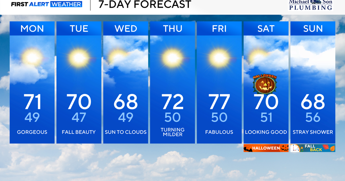 Another stunning week of fall weather coming to Maryland
Updated on: October 26, 2026 / 8:35 AM EDT / CBS Baltimore Get ready for another awesome week of nice fall weather across the state of Maryland. The nice and dry weather should continue into Halloween on Saturday. A…
-
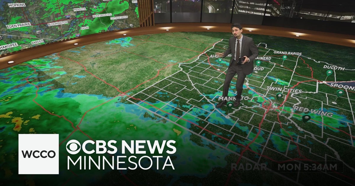 Widespread rainy weather in Minnesota | Oct. 26, 2026
CBS News Minnesota is a local news organization that is part of CBS News and Stations. Also referred to as WCCO-TV and channel 4, CBS News Minnesota offers local breaking news, weather coverage and investigative…
-
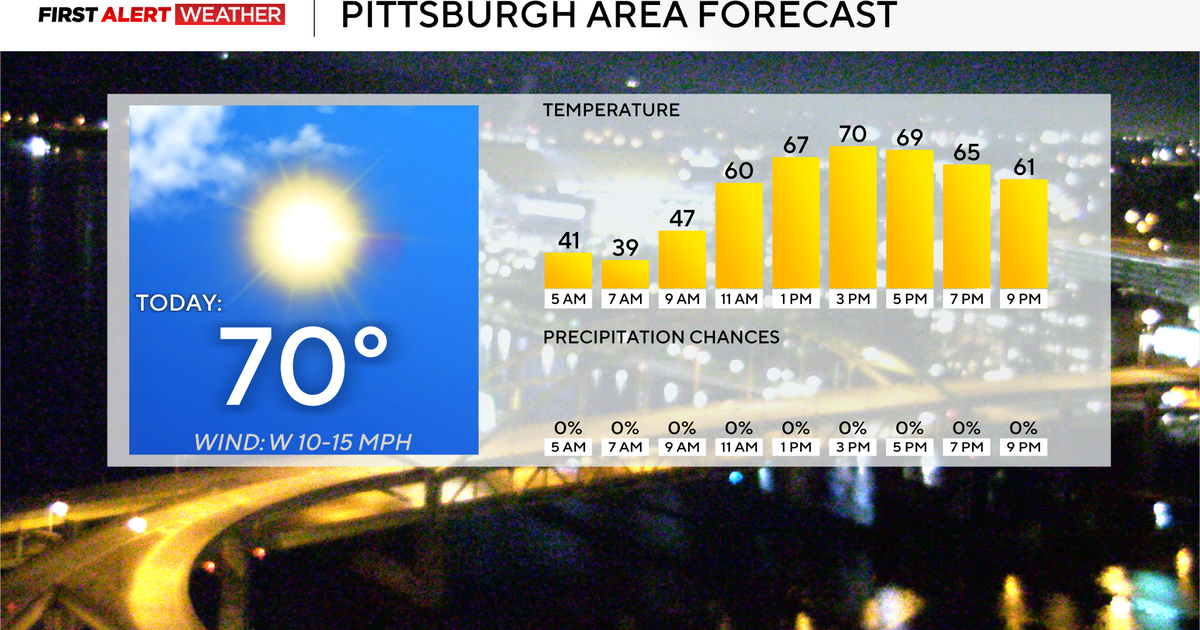 Today will mark 10 straight days without rain for the Pittsburgh area
October 26, 2026 / 7:51 AM EDT / CBS Pittsburgh Today will mark the 10th straight day in the Pittsburgh region with no measurable rain. Any alert days ahead? Nope. Aware: This month will be the sunniest month in…
-
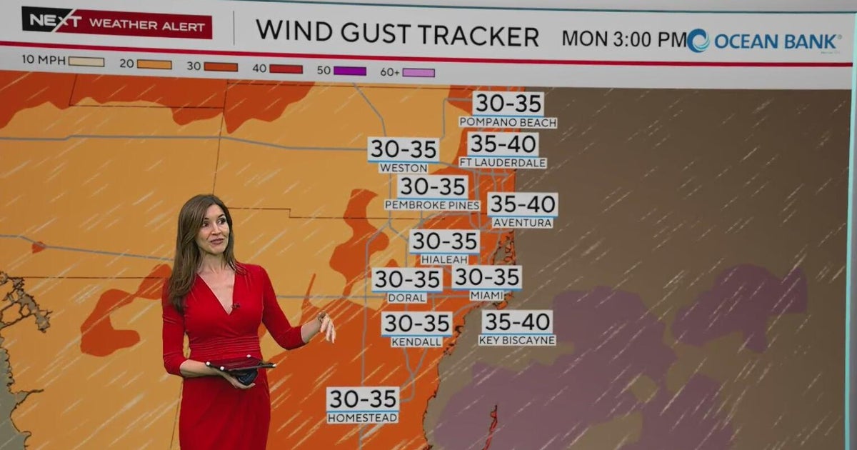 NEXT Weather Alert in effect across South Florida due to king tides, strong winds, heavy downpours
A CBS News Miami NEXT Weather Alert is in effect across South Florida through at least Tuesday due to the combination of king tides, strong onshore winds and heavy downpours. CBS News Miami NEXT Weather meteorologist…
-
 Widespread rain in Minnesota Monday; milder air returns Tuesday
Updated on: October 26, 2026 / 6:42 AM CDT / CBS Minnesota Minnesota will see widespread rain Monday, with the heaviest amounts across the western and central parts of the state. Some areas could see more than an inch…
Air quality
Acceptable. Unusually sensitive people should consider limiting prolonged outdoor exertion.
Forecast
- MonModerate
- TueModerate
- WedModerate
St. Louis (Metro-east), IL reporting area · 1 hr ago. Data from AirNow (EPA and its state, local and tribal partners); preliminary and subject to change.
Sun & moon
Almanac
MonthlySt Louis Area, records since 1874. Normals 1991–2020. Data from NOAA's Regional Climate Centers (ACIS).
Nearby
- St. Louis 13 km
- O'Fallon 42 km
- Saint Charles 23 km
- Saint Peters 35 km
- Florissant 10 km
- Chesterfield 32 km
- Belleville 32 km
- Oakville 31 km
- Wildwood 42 km
- Wentzville 55 km
- University City 12 km
- Ballwin 32 km
Forecasters' discussion
From the National Weather Service office in LSX, issued 4 hrs ago
Key Messages
- Seasonably warm temperatures with mostly dry conditions will continue through Friday.
- Chances of light rain return this weekend, but a widespread significant (0.50+") rain is not likely.
Short Term
Issued at 249 AM CDT Mon Oct 26 2026
GOES-19 nighttime microphysics satellite imagery shows thickening cirrus clouds moving from southwest to northeast toward the Mississippi Valley. This increase in high-level cloud cover has limited the nocturnal temperature drop slightly overnight, with current readings on average about 3-5 degrees warmer than 24 hours prior. Increasing and thickening high clouds are forecast through the morning hours, before some clearing moves into western sections of the CWA during the afternoon. Due to the aforementioned clouds, high temperatures today are not expected to be as warm as Sunday, with readings topping out mostly in the mid 70s. There may be a few spots that get into the upper 70s though in central Missouri if the clearing works its way in a bit sooner than forecast.
A midlevel shortwave trough is forecast to move slowly out of the south-central Plains and across the mid-Mississippi Valley late tonight through Tuesday evening. The main impact with this feature should be a notable increase in midlevel clouds, which should lead to slightly cooler temperatures (low to mid 70s) on Tuesday. A few spotty sprinkles cannot be ruled out, but the mid/upper level forcing for ascent is not that strong and there is a very deep (15+ kft AGL) layer of dry air to overcome.
Long Term
Issued at 249 AM CDT Mon Oct 26 2026
(Tuesday Night - Friday)
The pattern remains largely stagnant through the end of the work week with our region sitting beneath quasi-zonal flow aloft. A weak cold front is forecast to approach parts of northeast Missouri late Wednesday night before stalling out and lifting back north as a warm front later in the week. There is a low chance (20-30%) of rain showers and possibly a thunderstorm or two in the vicinity of this cold front, mainly across northeast Missouri and west-central Illinois.
Temperatures are forecast to moderate through Thursday, with most locations getting back into the low 80s to the southeast of the cold front. At least slightly cooler highs (upper 70s to near 80 degrees) are expected on Friday, mainly due to increasing mid/high level clouds.
(Friday Night - Sunday)
Ensemble guidance is in reasonably good agreement that another midlevel shortwave trough will move across the south-central Plains into the mid-Mississippi Valley this weekend. There remains some subtle timing differences, but the shortwave looks somewhat reminiscent of the one working its way across the region early this week. The shortwave itself is not particularly strong or organized, and gradually weakens with time as it gets sheared out as it moves into more confluent flow aloft. The best chances (30-50%) of light rain showers are on Saturday afternoon/night as a wing of relatively modest low-level moisture convergence moves from southwest to northeast. At this point in time, the rain looks to stay on the light side with plenty of dry time this weekend. The chances of a widespread, significant (0.50+") rain looks very low. The latest LREF probabilities for 0.50+" through this weekend are only in the 10-25% range from north to south, and have been dropping over the past 24-36 hours.
Aviation
Issued at 522 AM CDT Mon Oct 26 2026
A brief period of fog may continue to impact KSUS over the next few hours. Otherwise, dry/VFR conditions with light and variable winds are expected through late tonight.
Forecasts, observations and alerts in the United States come from the National Weather Service (NOAA); radar from NOAA's Multi-Radar Multi-Sensor system; satellite imagery from NASA's Global Imagery Browse Services (GIBS) and NOAA's GOES satellites; the map from the U.S. Geological Survey's National Map; air quality from AirNow (EPA and its partners); hurricane information from the National Hurricane Center; climate normals and records from NOAA's Regional Climate Centers (ACIS). Forecasts outside the United States and the UV index: MET Norway (CC BY 4.0); observations outside the U.S.: airport reports via NOAA's Aviation Weather Center. Place names: GeoNames (CC BY 4.0). Data are copied on a schedule and may lag the sources; for warnings that affect your safety, follow your local National Weather Service office and emergency officials. Weather news is drawn from the 4Search index and reflects what the press published. Terms of use. How to use Weather