Install
Nisswa, MN Weather
Current conditions
Forecast for this hour (no station report in the last two hours)
Forecast
10-day-
Saturday
A chance of rain showers. Partly sunny, with a high near 66. Southwest wind 15 to 20 mph, with gusts as high as 30 mph.
-
Saturday Night
A chance of rain showers. Mostly cloudy, with a low around 44. West wind 5 to 10 mph, with gusts as high as 25 mph.
-
Sunday
A slight chance of rain showers. Mostly sunny, with a high near 54. Northwest wind 5 to 10 mph, with gusts as high as 20 mph.
National Weather Service forecast updated 4 days ago.
Hourly
Hourly forecast- Now62°24%
- 1 PM63°45%
- 2 PM64°45%
- 3 PM65°45%
- 4 PM64°45%
- 5 PM63°45%
- 6 PM62°45%
- 7 PM60°34%
- 8 PM57°34%
- 9 PM55°34%
- 10 PM53°34%
- 11 PM52°34%
- Sun12 AM51°34%
- 1 AM50°21%
- 2 AM48°21%
- 3 AM47°21%
- 4 AM46°21%
- 5 AM45°21%
- 6 AM45°21%
- 7 AM45°17%
- 8 AM45°17%
- 9 AM46°17%
- 10 AM48°17%
- 11 AM49°17%
10-day forecast
Details- TueOct 20Sunny45°66°
- WedOct 21Sunny43°67°
- ThuOct 22Sunny51°69°
- FriOct 23Chance Rain Showers36%55°64°
- TodayOct 24Chance Rain Showers45%44°66°
- SunOct 25Slight Chance Rain Showers21%36°54°
- MonOct 26Mostly Sunny then Slight Chance Rain Showers15%33°49°
- TueOct 27Sunny33°46°
- WedOct 28Sunny37°49°
- ThuOct 29Partly cloudy37°42°
Days after the National Weather Service's seven are MET Norway's outlook, a computer model with no forecaster's review.
Radar
Full mapWeather news in Minnesota
More weather news-
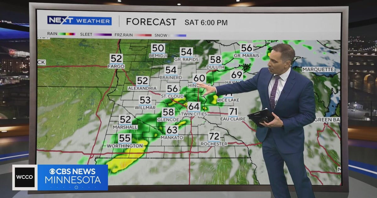 Minnesota weather to feature warm temps Saturday before cooldown | Oct. 23, 2026
CBS News Minnesota is a local news organization that is part of CBS News and Stations. Also referred to as WCCO-TV and channel 4, CBS News Minnesota offers local breaking news, weather coverage and investigative…
-
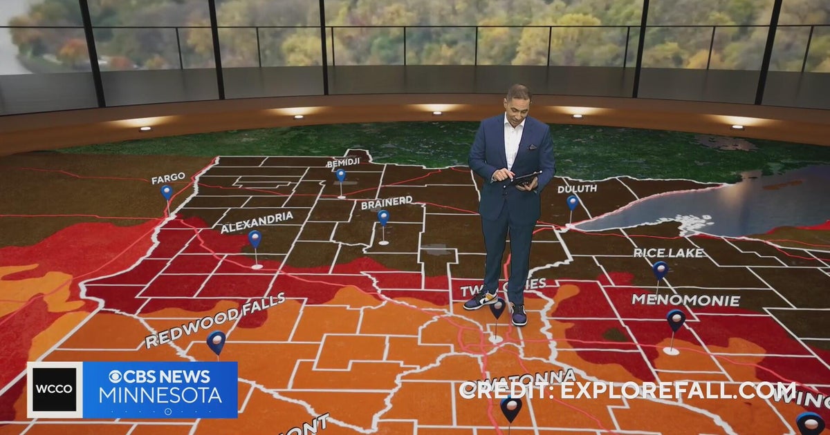 Minnesota weather: one last warm day, then a damp, cool change | Oct. 23, 2026
CBS News Minnesota is a local news organization that is part of CBS News and Stations. Also referred to as WCCO-TV and channel 4, CBS News Minnesota offers local breaking news, weather coverage and investigative…
-
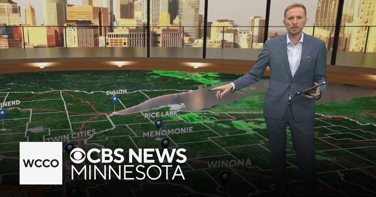 Another round of wind and showers Saturday in Minnesota | Oct. 24, 2026
CBS News Bay Area Morning Edition Weekend 6am WBZ This Morning 8am CBS News Chicago Saturday 8am CBS Colorado Mornings Weekend CBS News Los Angeles Weekend 6am CBS News Miami This Morning 9am WCCO News Saturday Morning…
-
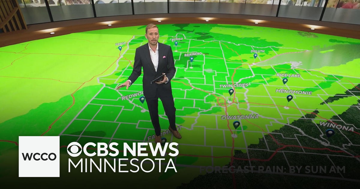 Minnesota's weather is about to pivot back to fall | Oct. 23, 2026
CBS News Minnesota is a local news organization that is part of CBS News and Stations. Also referred to as WCCO-TV and channel 4, CBS News Minnesota offers local breaking news, weather coverage and investigative…
-
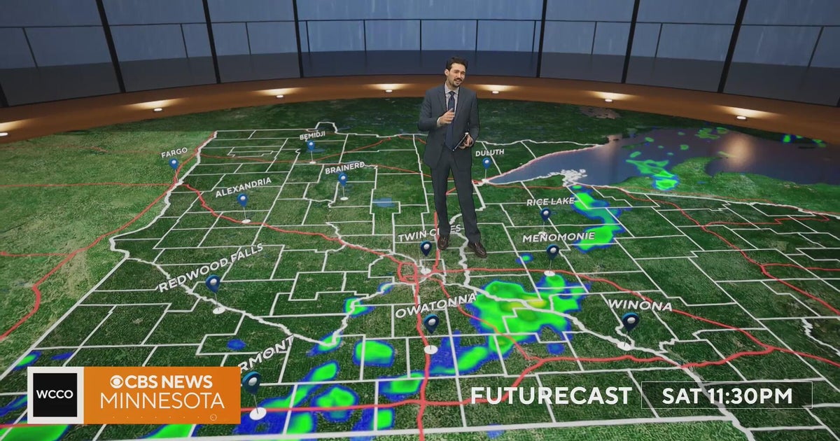 Minnesota weather turns cooler after a Saturday cold front brings light showers | Oct. 23, 2026
Rain chances improve Saturday afternoon and evening, with amounts under a tenth of an inch and gusts near 30 mph. Highs reach the 70s ahead of the front, then fall to the mid 50s Sunday, WCCO meteorologist Joseph Dames…
-
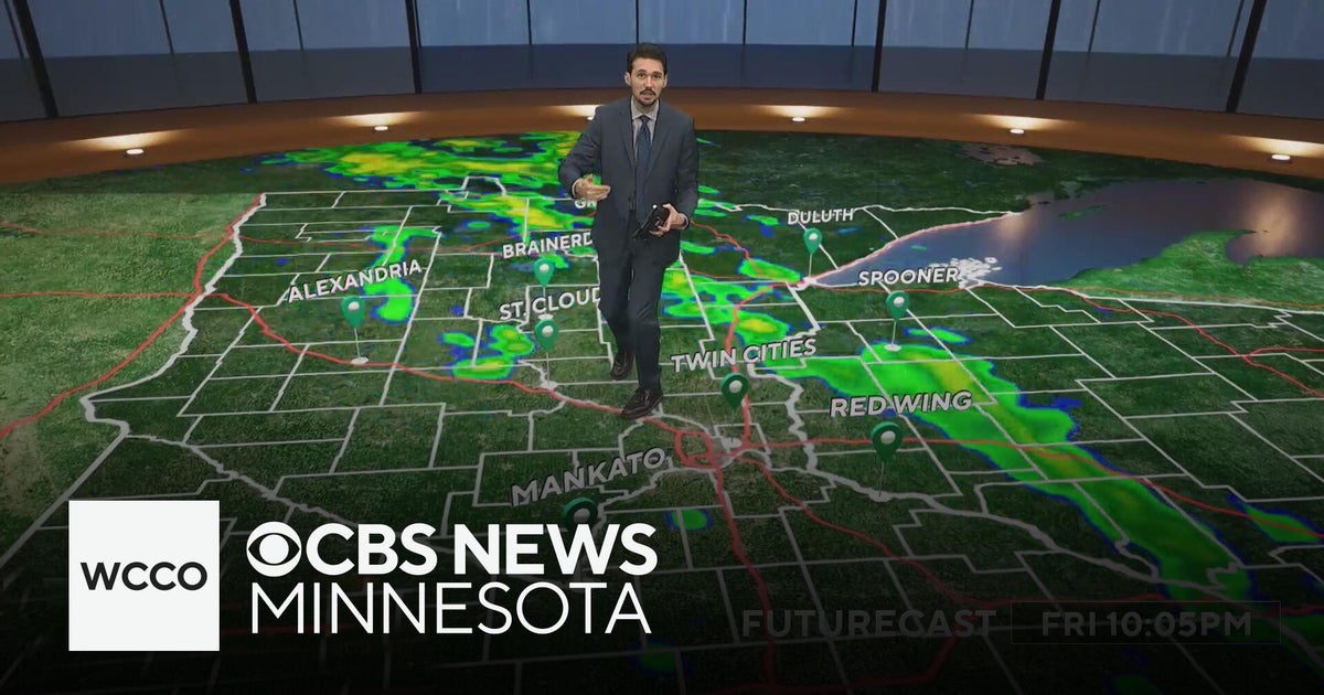 Last taste of mild fall weather in Minnesota | Oct. 23, 2026
CBS News Minnesota is a local news organization that is part of CBS News and Stations. Also referred to as WCCO-TV and channel 4, CBS News Minnesota offers local breaking news, weather coverage and investigative…
-
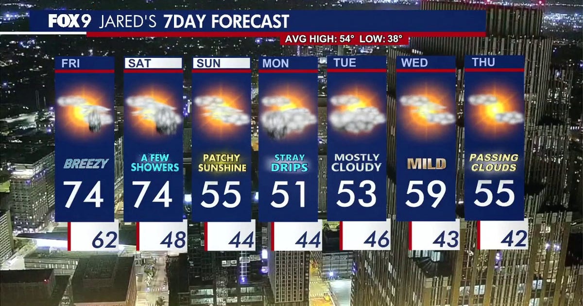 Minnesota weather: Breezy and warm Friday with small rain chances later
Friday is staying warm with small rain chances later in the afternoon. FOX 9 meteorologist Jared Piepenburg has the full forecast. MINNEAPOLIS (FOX 9) - Friday is off to a mild and quiet start before a warm and breezy…
-
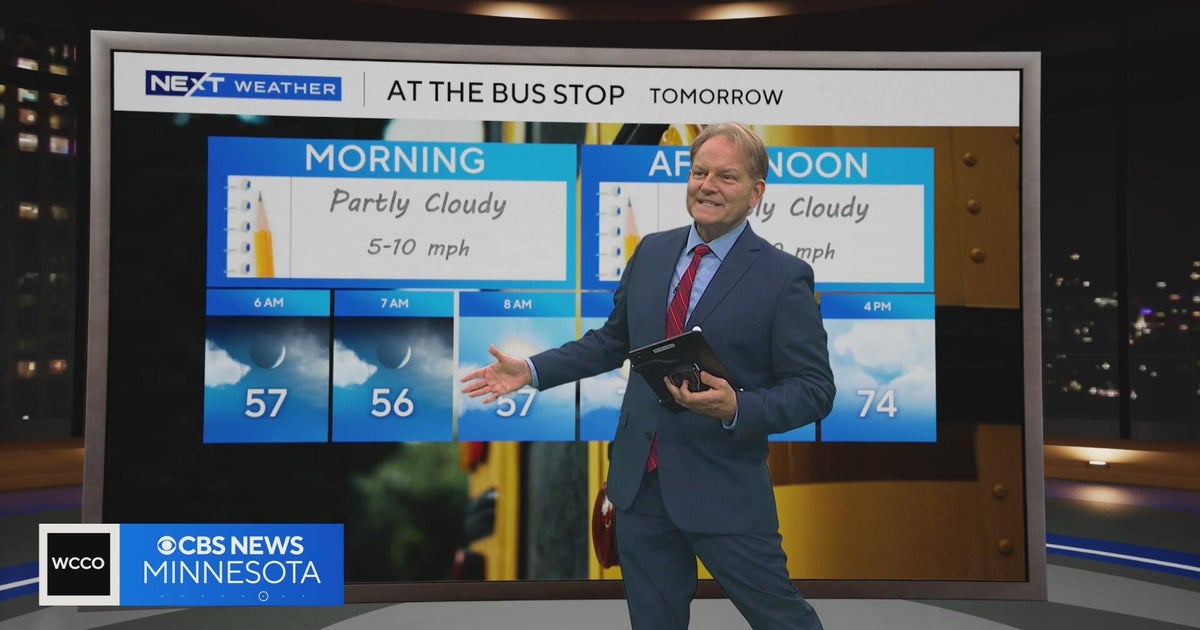 Minnesota sees chances for rain and more seasonable temps soon | Next Weather 10 p.m. Oct. 22, 2026
CBS News Minnesota is a local news organization that is part of CBS News and Stations. Also referred to as WCCO-TV and channel 4, CBS News Minnesota offers local breaking news, weather coverage and investigative…
-
 Minnesota gets 3 more days in the 70s, then a cold front cuts the weekend in half | Oct. 22, 2026
Thursday and likely Friday and Saturday all reach the mid 70s, then a cold front moves through Saturday evening and night, dropping highs into the 50s Sunday and the lower 50s Monday through Wednesday, WCCO…
-
 Amazing fall weather in Minnesota | Oct. 22, 2026
CBS News Baltimore 8am CBS News Boston 8am CBS News Chicago 7am CBS News Colorado This Morning 6am CBS News Los Angeles Mornings 5am CBS News Miami 8am CBS News New York 8am CBS News Texas 7am
Air quality
Acceptable. Unusually sensitive people should consider limiting prolonged outdoor exertion.
Forecast
- SatGood (39)
- SunGood
- MonGood
Central Minnesota, MN reporting area · 1 hr ago. Data from AirNow (EPA and its state, local and tribal partners); preliminary and subject to change.
Sun & moon
Almanac
MonthlyPine River Dam, records since 1896. Normals 1991–2020. Data from NOAA's Regional Climate Centers (ACIS).
Nearby
- Brainerd 19 km
- Baxter 20 km
- Staples 43 km
- Breezy Point 9 km
- Crosby 26 km
- Pequot Lakes 9 km
- Crosslake 20 km
- Aitkin 44 km
Forecasters' discussion
From the National Weather Service office in DLH, issued 5 hrs ago
Key Messages
- Showers and isolated thunderstorms are expected today. Rainfall totals generally less than a quarter of an inch, but locally higher amounts possible.
- Colder weather moves in Sunday into Monday.
- An active weather pattern will bring several rain chances next week and possibly a little snow Tuesday morning.
Update
Issued at 258 AM CDT Sat Oct 24 2026
Showers are passing through tonight, and they will continue up the North Shore and Northwest Wisconsin through this morning. A cold front and upper-level trough aloft will trigger a line of showers and possibly some embedded non-severe thunderstorms through today. Potential instability is not much...maybe a few hundred J/kg, and any storms should be elevated. Strong storms are not expected. Rainfall amounts will likely be less than a quarter of an inch, but locally higher amounts are possible with any thunderstorms.
On Sunday, dry weather is still in the forecast with RH values falling into the 25-35% range. Winds are not expected to be exceptionally strong with gusts to around 15 mph for most places, except to around 20 mph in the Arrowhead. Fire weather conditions may be slightly elevated.
All other aspects of the forecast remain relatively unchanged with this update. Please see the previous discussion for more information.
Discussion
Issued at 217 PM CDT Fri Oct 23 2026
Fog lingers in areas near Lake Superior this afternoon. Dense This fog is expected to clear as a warm front makes its way northeast. Temperatures for the rest of the day will push into the upper 60s and 70s inland, though the shoreline will stay slightly cooler under the fog and cloud cover. A warm front will move through today, shifting winds to the south to southwest and increasing gusts to up to 30 mph tonight. Rain showers will also follow the warm front in the late afternoon and overnight hours. Most will see rain accumulations of less then 0.1".
Saturday, the associated low pressure system tracking east will also bring a cold front west to east across our area. This boundary will provide another round of light rain showers and perhaps an isolated rumble of thunder. Strong southerly flow continues ahead of the front will allow highs to climb into the 60s and lower 70s once again, marking our last warm day for the foreseeable future. Rain chances will quickly taper off from west to east Saturday night.
A much cooler and more seasonable air mass settles in on Sunday behind the departing cold front. Highs will only reach the 40s and 50s under mostly sunny skies as surface high pressure builds in over the area. RHs dip back down into the 25-35% range Sunday, but with lower winds, no fire weather concerns are anticipated. The cooler air mass will allow Sunday night temperatures to drop below freezing for most inland locations.
The extended forecast for Monday through Thursday features a return to an active weather pattern. An upper level low is forecast to move east out of the central Rockies early next week, bringing widespread precipitation chances to the region from Monday into Wednesday. With the cooler air mass firmly in place, some snow could mix in on the northern fringes of the system, though this is currently expected to be minor conversational snow with small accumulations, if any. High temperatures will largely remain in the 40s and 50s through Thursday with overnight lows near or below freezing.
Aviation
Issued at 645 AM CDT Sat Oct 24 2026
VFR ceilings this morning. Expect LLWS to continue for another 3 to 5 hours with continuing warm air advection. Then, as winds gradually shift more westerly ahead of a cold front, LLWS is expected to dissipate. An area of showers is expected to develop with the cold front. Weak instability could produce a few rumbles of thunder, and ceilings may fall to MVFR/IFR briefly as showers pass through. Expect breezy winds through the day, then decreasing gradually and becoming light as winds switch to northwest this evening behind the cold front.
Forecasts, observations and alerts in the United States come from the National Weather Service (NOAA); radar from NOAA's Multi-Radar Multi-Sensor system; satellite imagery from NASA's Global Imagery Browse Services (GIBS) and NOAA's GOES satellites; the map from the U.S. Geological Survey's National Map; air quality from AirNow (EPA and its partners); hurricane information from the National Hurricane Center; climate normals and records from NOAA's Regional Climate Centers (ACIS). Forecasts outside the United States and the UV index: MET Norway (CC BY 4.0); observations outside the U.S.: airport reports via NOAA's Aviation Weather Center. Place names: GeoNames (CC BY 4.0). Data are copied on a schedule and may lag the sources; for warnings that affect your safety, follow your local National Weather Service office and emergency officials. Weather news is drawn from the 4Search index and reflects what the press published. Terms of use.