Install
Lino Lakes, MN Weather
Current conditions
Observed at Minneapolis / Blaine · 30 min ago
Forecast
10-day-
Friday Night
Mostly cloudy, with a low around 59. South southeast wind around 15 mph, with gusts as high as 30 mph.
-
Saturday
A chance of rain showers after 7am. Mostly cloudy. High near 72, with temperatures falling to around 68 in the afternoon. South southwest wind 10 to 15 mph, with gusts as high as 30 mph. Chance of precipitation is 40%.
-
Saturday Night
A chance of rain showers. Mostly cloudy, with a low around 47. West northwest wind 5 to 10 mph. Chance of precipitation is 40%.
National Weather Service forecast updated 2 days ago.
Hourly
Hourly forecast- Now62°
- 3 AM62°
- 4 AM61°
- 5 AM61°
- 6 AM60°
- 7 AM60°19%
- 8 AM61°19%
- 9 AM63°19%
- 10 AM64°19%
- 11 AM66°19%
- 12 PM68°19%
- 1 PM70°38%
- 2 PM70°38%
- 3 PM70°38%
- 4 PM70°38%
- 5 PM68°38%
- 6 PM65°38%
- 7 PM65°35%
- 8 PM62°35%
- 9 PM60°35%
- 10 PM58°35%
- 11 PM56°35%
- Sun12 AM55°35%
- 1 AM54°20%
Daily forecast
Details- WedOct 21Sunny45°71°
- ThuOct 22Sunny53°73°
- FriOct 23Mostly Sunny10%59°72°
- TodayOct 24Chance Rain Showers38%47°72°
- SunOct 25Slight Chance Rain Showers then Partly Sunny29%39°55°
- MonOct 26Chance Rain Showers29%36°51°
- TueOct 27Slight Chance Rain Showers16%37°51°
- WedOct 28Sunny31°51°
- ThuOct 29Partly cloudy36°54°
Days after the National Weather Service's seven are MET Norway's outlook, a computer model with no forecaster's review.
Radar
Full mapWeather news near Lino Lakes
More weather news- Minneapolis Weather Stays Sunny Before Weekend Showers
Tuesday stays sunny with a high near 67 and a south-southeast breeze of 5 to 10 mph. Wednesday and Thursday are forecast to have highs in the mid to upper 60s under mostly sunny skies, giving residents a warm window for…
-
 Warming trend in Minnesota continues, as rain holds off
CBS News Minnesota is a local news organization that is part of CBS News and Stations. Also referred to as WCCO-TV and channel 4, CBS News Minnesota offers local breaking news, weather coverage and investigative…
-
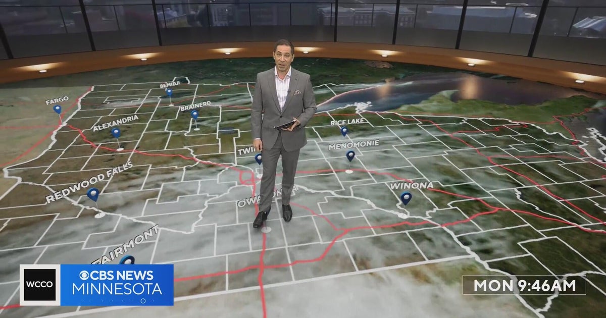 Minnesota’s warm, dry streak continues, with temperatures nearing 80 by Thursday | Oct. 19, 2026
A ridge of high pressure keeps the jet stream and cold air to the north, WCCO’s meteorologist says. Highs reach nearly 70 in the Twin Cities Wednesday, the mid 70s Thursday and close to 80 in parts of south central…
-
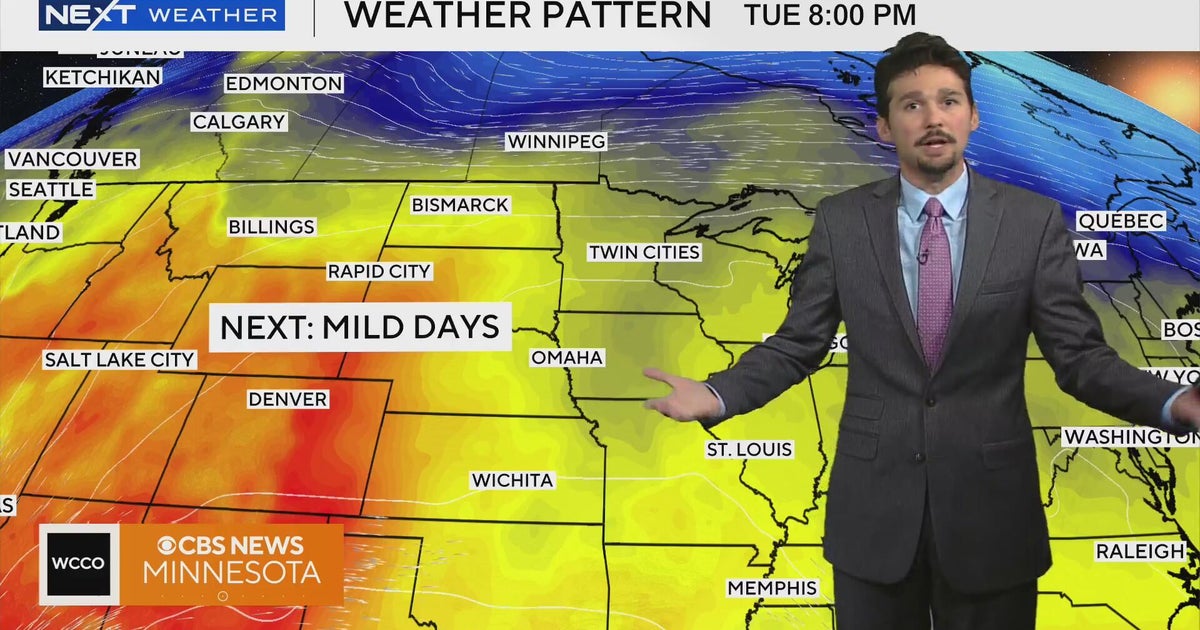 No cold air in sight for next week in Minnesota weather | Oct. 19, 2026
A west-to-east flow is keeping colder air to the north, WCCO meteorologist Joseph Dames says, and warmth building through the Rockies should push temperatures above average toward the end of the week. Cooler air may not…
-
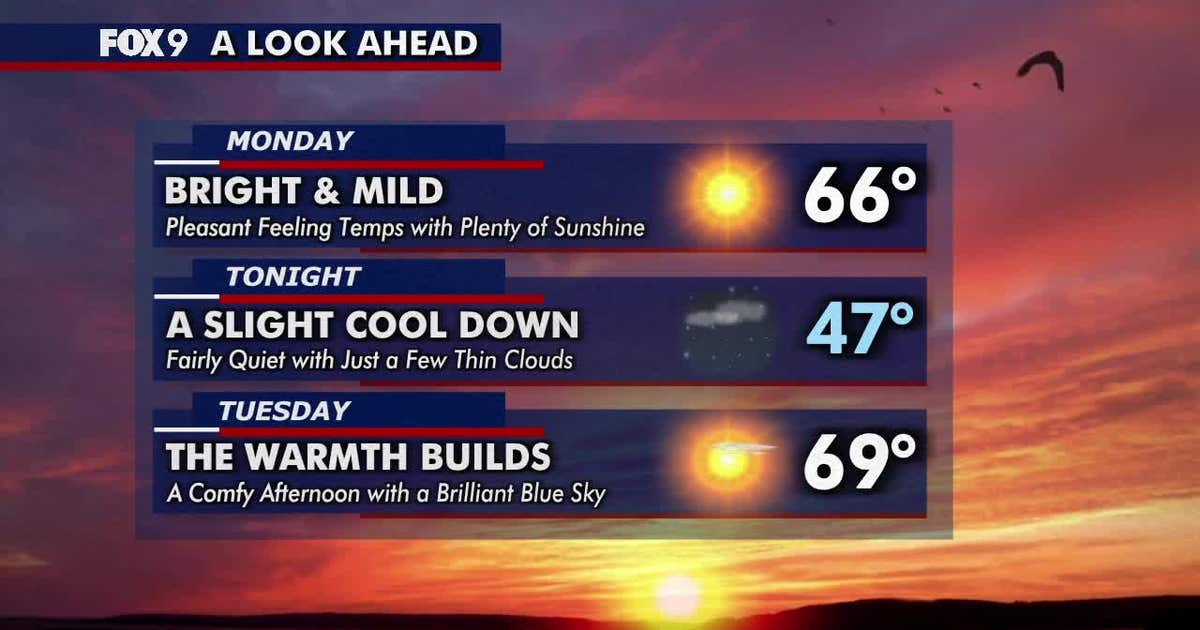 Minnesota weather: Sunny and mild Monday before warmer 70s return
Monday brings plenty of sunshine and mild temperatures in the 60s. Warmer weather arrives Tuesday, followed by widespread highs in the 70s on Wednesday and continuing through much of the week. FOX 9 meteorologist Keith…
-
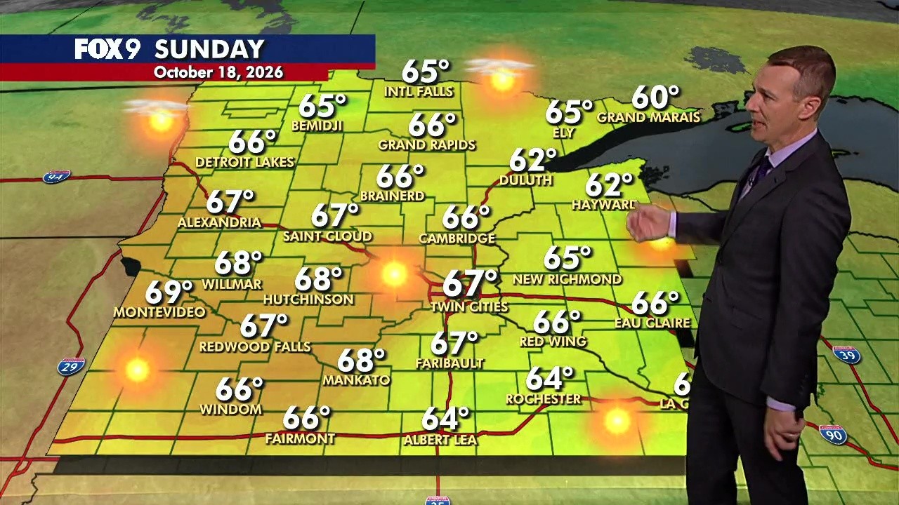 MN weather: Warmer and breezy Sunday
FOX 9 Minneapolis-St. Paul Minnesota gets a warmer Sunday with mostly sunny skies and highs generally reaching the mid-to-upper 60s, with a possible 70-degree reading.
-
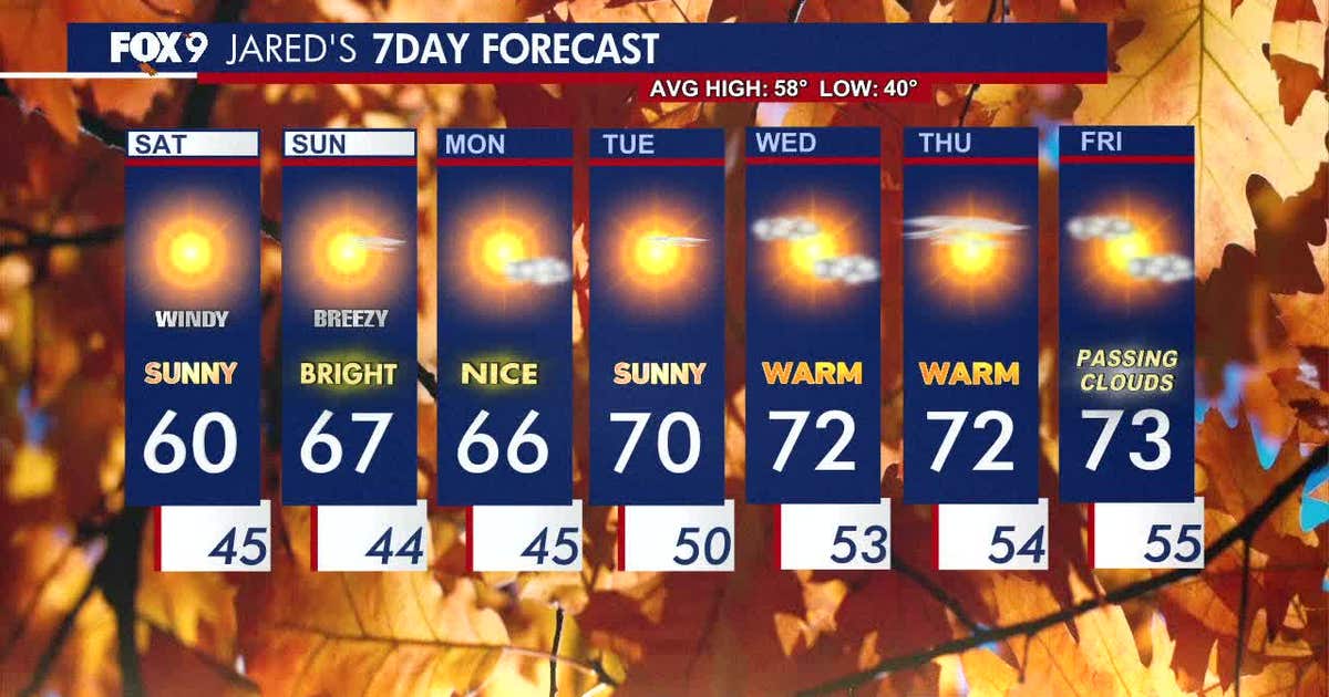 Minnesota weather: Cool and crisp start to Saturday with bright skies ahead
A cool start Saturday gives way to a warmer, mostly dry run across Minnesota. FOX 9's Jared Piepenburg has the full forecast. MINNEAPOLIS (FOX 9) - Saturday is off to a cool start with bright skies and a southwest…
-
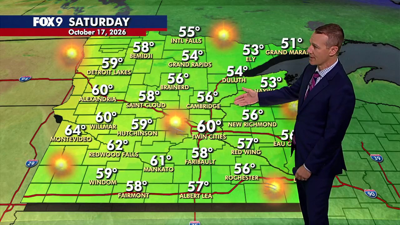 MN weather: Bright and crisp Saturday after a cool start
FOX 9 Minneapolis-St. Paul A cool start Saturday gives way to a warmer, mostly dry run across Minnesota. FOX 9's Jared Piepenburg has the full forecast.
-
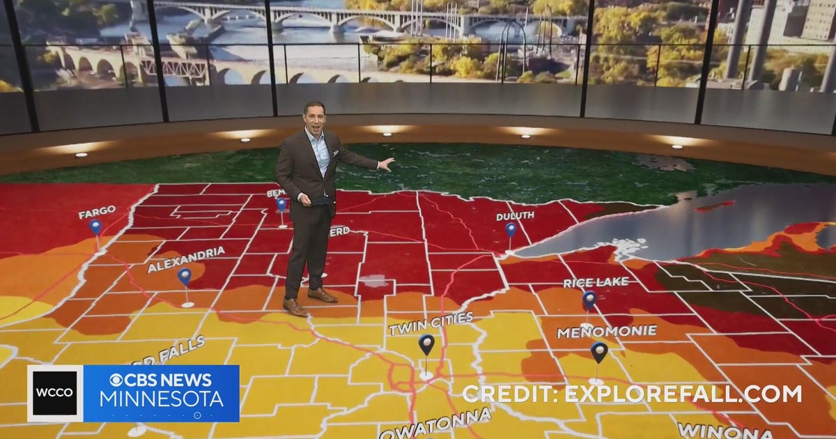 Peak fall color is here in Minnesota, but Friday’s wind has stripped many leaves | Oct. 16, 2026
CBS News Peak fall color is here in Minnesota, but Friday’s wind has stripped many leaves | Oct. 16, 2026 Minnesota clinic offering claims help, health services to veterans Why a Hopkins grocery store says it's at risk…
-
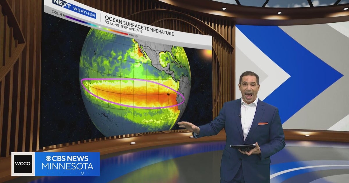 NOAA’s winter outlook favors a warmer-than-average Minnesota winter as a historic El Niño builds
CBS News NOAA’s winter outlook favors a warmer-than-average Minnesota winter as a historic El Niño builds Meet Tali, a 2½-month-old husky mix and the last of her litter, soon to be up for adoption Meet Michelle…
Air quality
Acceptable. Unusually sensitive people should consider limiting prolonged outdoor exertion.
Forecast
- SatGood (39)
- SunGood
- MonGood
Northern Twin Cities Metro, MN reporting area · 1 hr ago. Data from AirNow (EPA and its state, local and tribal partners); preliminary and subject to change.
Sun & moon
Almanac
MonthlySt. Paul Downtown Airport, records since 1872. Normals 1991–2020. Data from NOAA's Regional Climate Centers (ACIS).
Nearby
- Minneapolis 24 km
- Saint Paul 24 km
- Bloomington 39 km
- Brooklyn Park 22 km
- Plymouth 33 km
- Maple Grove 30 km
- Woodbury 28 km
- Eagan 40 km
- Eden Prairie 45 km
- West Coon Rapids 20 km
- Coon Rapids 16 km
- Blaine 11 km
Forecasters' discussion
From the National Weather Service office in MPX, issued 2 hrs ago
Key Messages
- One more very warm day Saturday, then temperatures retreat back to near normal.
- Multiple chances for rain from this afternoon through Wednesday.
Discussion
Issued at 147 PM CDT Fri Oct 23 2026
A band of showers from western to south central MN continues to progress eastward this afternoon at about 20 kts. There have been a few isolated thunderstorms and brief heavy downpours embedded within the band, especially during the late morning and midday. Intensity will continue waning as the afternoon progresses and chances are low it will reach WI. South winds have been gusty today and temperatures have once again reached the 70s ahead of the band of rain where sun has been prevalent.
A cold front over Montana today will propagate east tonight and reach the Upper Midwest Saturday. A warm and somewhat moist airmass will keep lows quite mild tonight, likely remaining in the low 60s. Temperatures will warm quickly ahead of the front which is expected to be passing through western MN mid to late morning. Highs across southern/eastern MN and WI should reach the mid to possibly upper 70s before tumbling behind the front. Another band of showers will develop along the front throughout the day, then weaken and scatter by evening across southern MN and WI. A few showers may linger through Sunday.
The front will stall across the mid MS Valley Sunday, then lift back to the north Monday and Tuesday as an upper low over the desert Southwest finally ejects northeast across the Plains. This compact system will bring rain to the central Plains Sunday night and the Upper Midwest Monday into early Tuesday. QPF is pretty impressive along the track of the low from Nebraska to eastern SD and western MN where amounts may exceed 1-1.5 inches.
Another system may follow quickly on the heels of the early week system Tuesday night and Wednesday. There is still quite a bit of model spread after Tuesday, leading to continuing chances of showers and low confidence. Ridging will try to build back late week and temperatures may trend back above normal for Halloween weekend.
Aviation
Issued at 1148 PM CDT Fri Oct 23 2026
Once again the main concerns for the period will be periods of -SHRA mainly along the cold front arriving midway through, alongside breezy winds to start with winds expected to shift from 160-180 towards 240-270 and eventually 300-330 behind the cold front. Generally even with -SHRA we should remain mainly VFR with a few periods of MVFR mainly due to visibility, with the -SHRA remaining weak and CIGS dropping to around 050. The shower chances and whether to handle with prob30/TEMPO/prevailing will continue to be modified as we move through the next few TAF periods.
KMSP...No significant changes from the 00z TAF. Main addition was adding some clouds on the tail end of the period. Mostly VFR with small pockets of MVFR possible with -SHRA from roughly 22-02z.
/OUTLOOK FOR KMSP/ SUN...VFR, chc -SHRA/MVFR. Wind N 5kts. MON...-RA/MVFR likely, chc IFR. Wind NE 5-10kts. TUE...-SHRA/MVFR. Wind E 5-10kts.
Mpx Watches
MN...None. WI...None.
Forecasts, observations and alerts in the United States come from the National Weather Service (NOAA); radar from NOAA's Multi-Radar Multi-Sensor system; satellite imagery from NASA's Global Imagery Browse Services (GIBS) and NOAA's GOES satellites; the map from the U.S. Geological Survey's National Map; air quality from AirNow (EPA and its partners); hurricane information from the National Hurricane Center; climate normals and records from NOAA's Regional Climate Centers (ACIS). Forecasts outside the United States and the UV index: MET Norway (CC BY 4.0); observations outside the U.S.: airport reports via NOAA's Aviation Weather Center. Place names: GeoNames (CC BY 4.0). Data are copied on a schedule and may lag the sources; for warnings that affect your safety, follow your local National Weather Service office and emergency officials. Weather news is drawn from the 4Search index and reflects what the press published. Terms of use.