Install
Elko New Market, MN Weather
Current conditions
Observed at Minneapolis, Airlake Airport · 1 hr ago
Forecast
10-day-
Monday
A chance of rain showers. Mostly cloudy, with a high near 50. Northeast wind 5 to 10 mph. Chance of precipitation is 40%.
-
Monday Night
A chance of rain showers. Mostly cloudy, with a low around 41. East northeast wind around 5 mph. Chance of precipitation is 30%.
-
Tuesday
A chance of rain showers. Mostly cloudy, with a high near 53. East southeast wind 5 to 10 mph. Chance of precipitation is 30%.
National Weather Service forecast updated 3 days ago.
Hourly
Hourly forecast- Now45°32%
- 7 AM45°44%
- 8 AM45°44%
- 9 AM46°44%
- 10 AM46°44%
- 11 AM47°44%
- 12 PM47°44%
- 1 PM48°33%
- 2 PM49°33%
- 3 PM50°33%
- 4 PM50°33%
- 5 PM50°33%
- 6 PM49°33%
- 7 PM48°30%
- 8 PM47°30%
- 9 PM45°30%
- 10 PM44°30%
- 11 PM43°30%
- Tue12 AM43°30%
- 1 AM43°29%
- 2 AM43°29%
- 3 AM42°29%
- 4 AM42°29%
- 5 AM42°29%
10-day forecast
Details- TonightOct 22Mostly Clear56°
- FriOct 23Mostly Sunny then Slight Chance Rain Showers19%60°73°
- SatOct 24Partly Sunny then Chance Rain Showers25%48°75°
- SunOct 25Mostly Cloudy32%43°56°
- TodayOct 26Chance Rain Showers44%41°50°
- TueOct 27Chance Rain Showers29%44°53°
- WedOct 28Chance Rain Showers33%42°58°
- ThuOct 29Partly Sunny14%55°
- FriOct 30Sunny31°44°
- SatOct 31Cloudy39°58°
Days after the National Weather Service's seven are MET Norway's outlook, a computer model with no forecaster's review.
Radar
Full mapWeather news in Minnesota
More weather news-
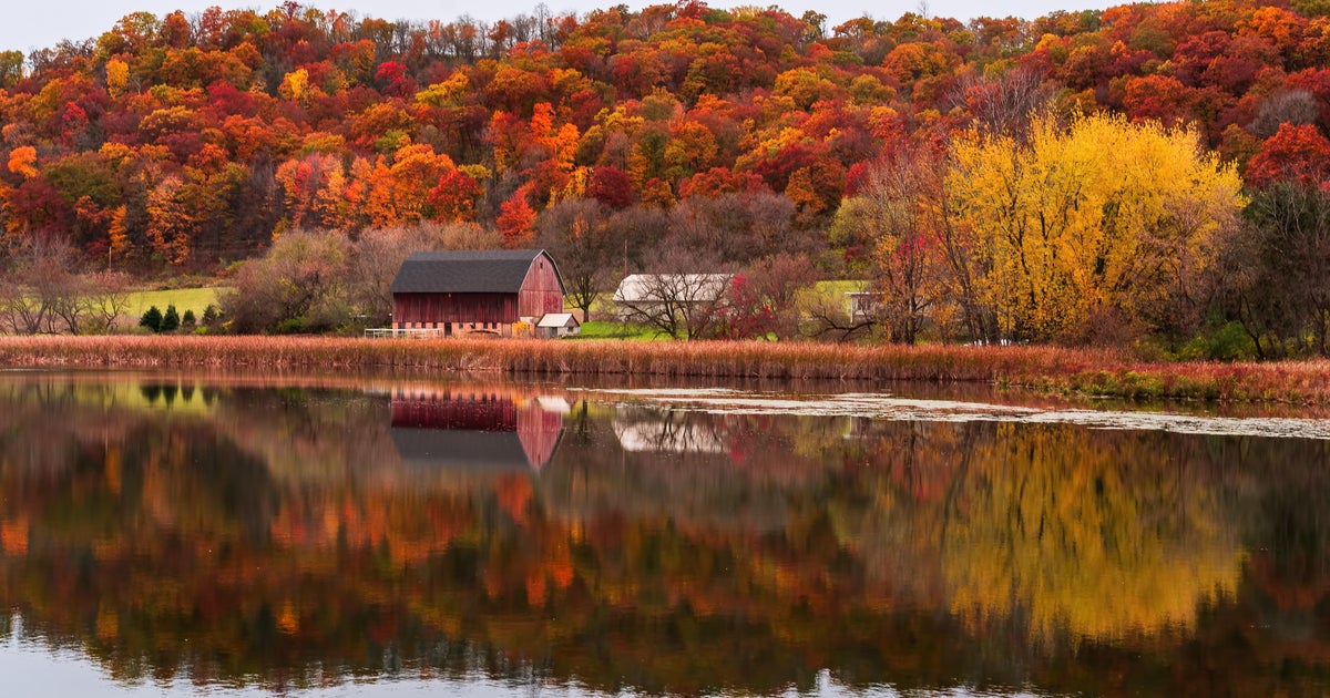 Cloudy Sunday with scattered showers as cooler air returns to Minnesota
October 25, 2026 / 12:39 PM CDT / CBS Minnesota A cold front has brought some cooler, more seasonal air to Minnesota. There will be lots of clouds Sunday, keeping highs in the mid-50s. There could be a few showers in…
-
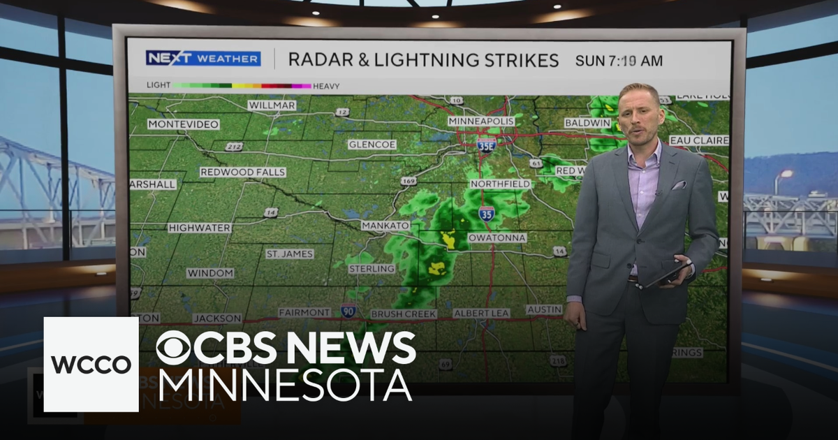 Cooler air returns to Minnesota, along with scattered showers | Oct. 25, 2026
CBS News Minnesota is a local news organization that is part of CBS News and Stations. Also referred to as WCCO-TV and channel 4, CBS News Minnesota offers local breaking news, weather coverage and investigative…
-
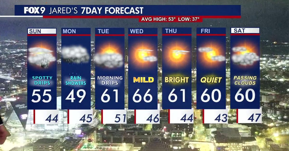 Minnesota weather: Cloudy skies and cooler air ahead after overnight rain
Expect a cool and cloudy Sunday with scattered, passing showers later in the evening. FOX 9 meteorologist Jared Piepenburg has the full forecast. MINNEAPOLIS (FOX 9) - Cooler air, clouds and scattered rain are set to…
-
 When Does Daylight Saving Time End in Minnesota?
I like bright sunny summer days, so the transition to fall is always a downer for me. The part I like the least is how short the days get. You've probably already noticed the sun going down earlier each day, and it…
-
 Another round of wind and showers Saturday in Minnesota | Oct. 24, 2026
CBS News Bay Area Morning Edition Weekend 6am WBZ This Morning 8am CBS News Chicago Saturday 8am CBS Colorado Mornings Weekend CBS News Los Angeles Weekend 6am CBS News Miami This Morning 9am WCCO News Saturday Morning…
-
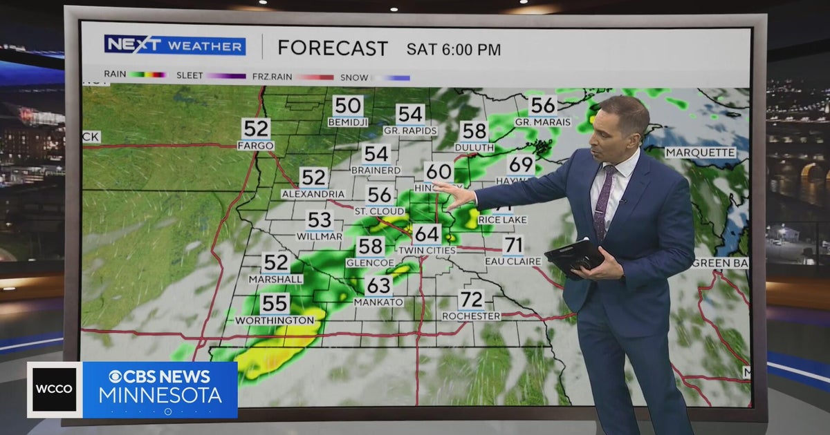 Minnesota weather to feature warm temps Saturday before cooldown | Oct. 23, 2026
CBS News Minnesota is a local news organization that is part of CBS News and Stations. Also referred to as WCCO-TV and channel 4, CBS News Minnesota offers local breaking news, weather coverage and investigative…
-
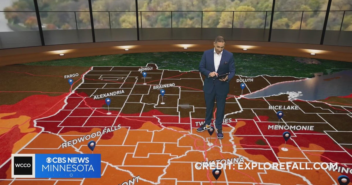 Minnesota weather: one last warm day, then a damp, cool change | Oct. 23, 2026
CBS News Minnesota is a local news organization that is part of CBS News and Stations. Also referred to as WCCO-TV and channel 4, CBS News Minnesota offers local breaking news, weather coverage and investigative…
-
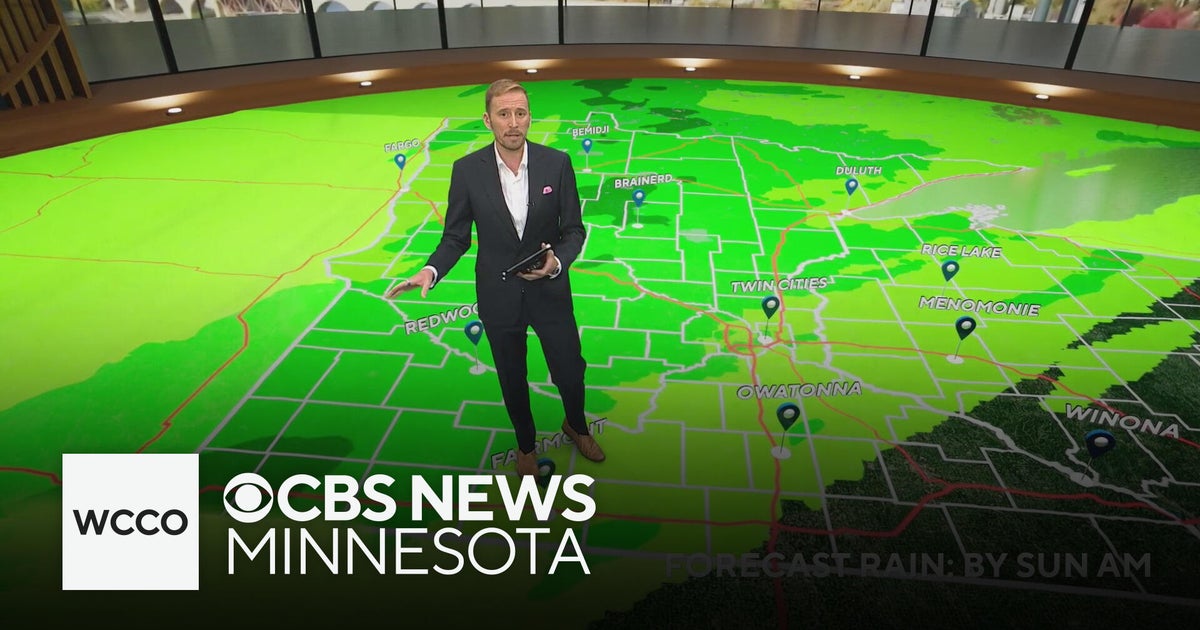 Minnesota's weather is about to pivot back to fall | Oct. 23, 2026
CBS News Minnesota is a local news organization that is part of CBS News and Stations. Also referred to as WCCO-TV and channel 4, CBS News Minnesota offers local breaking news, weather coverage and investigative…
-
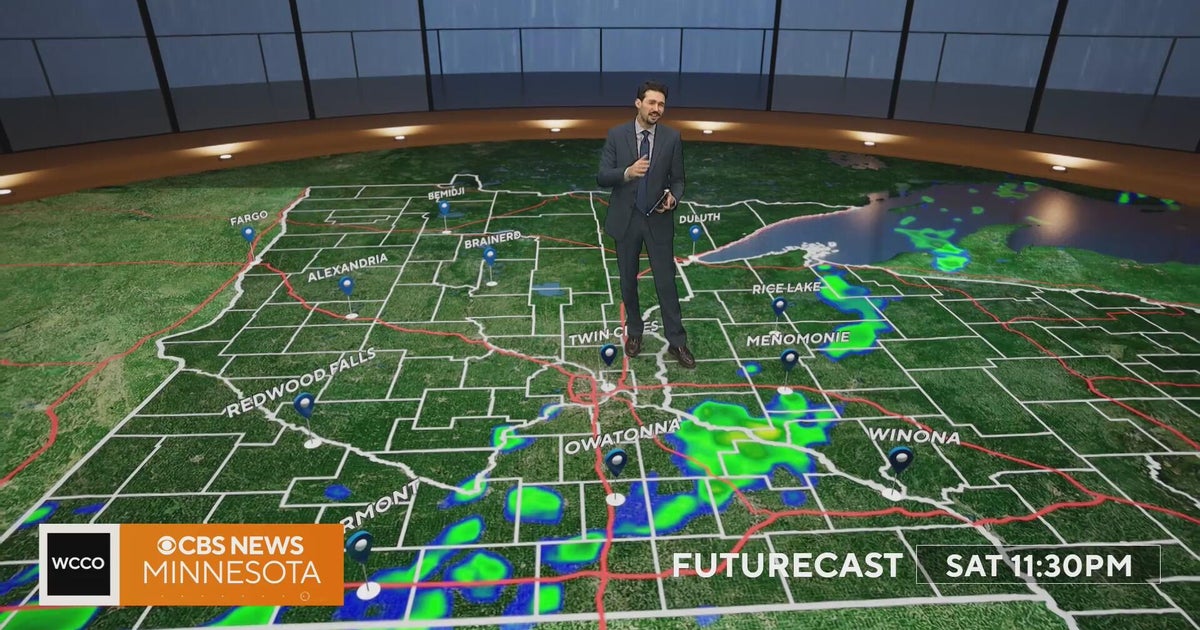 Minnesota weather turns cooler after a Saturday cold front brings light showers | Oct. 23, 2026
Rain chances improve Saturday afternoon and evening, with amounts under a tenth of an inch and gusts near 30 mph. Highs reach the 70s ahead of the front, then fall to the mid 50s Sunday, WCCO meteorologist Joseph Dames…
-
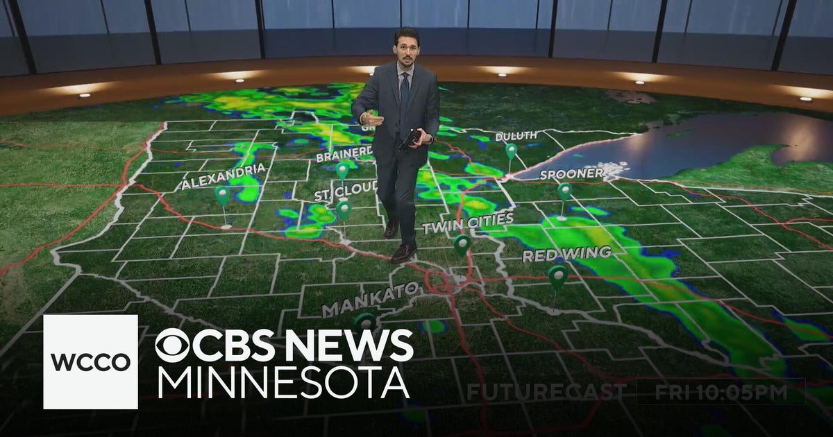 Last taste of mild fall weather in Minnesota | Oct. 23, 2026
CBS News Minnesota is a local news organization that is part of CBS News and Stations. Also referred to as WCCO-TV and channel 4, CBS News Minnesota offers local breaking news, weather coverage and investigative…
Air quality
Air quality is satisfactory, and air pollution poses little or no risk.
Forecast
- MonGood
- TueGood
- WedGood
Southern Twin Cities Metro, MN reporting area · 1 hr ago. Data from AirNow (EPA and its state, local and tribal partners); preliminary and subject to change.
Sun & moon
Almanac
MonthlyJordan 1ssw, records since 1949. Normals 1991–2020. Data from NOAA's Regional Climate Centers (ACIS).
Nearby
- Minneapolis 46 km
- Saint Paul 46 km
- Bloomington 31 km
- Brooklyn Park 59 km
- Plymouth 51 km
- Maple Grove 57 km
- Woodbury 49 km
- Eagan 29 km
- Eden Prairie 34 km
- Burnsville 23 km
- Lakeville 12 km
- Minnetonka 41 km
Forecasters' discussion
From the National Weather Service office in MPX, issued 3 hrs ago
Key Messages
- Widespread rain today, with the heaviest amounts expected across western and central MN through tonight.
- Tracking the return of mild October air (60s) for the rest of the work week and upcoming weekend.
Discussion
Issued at 230 AM CDT Mon Oct 26 2026
Soggy Start to the Week...It's a cool and dreary start to the work week across the Upper Midwest. 2 AM MPX radar imagery captured a slow-moving batch of showers across central MN and another area of showers moving east of the MN River between Redwood Falls and Mankato. Precipitation rates remain light with this activity and a slight decrease in coverage over the coming hours is likely for at least central MN as an embedded wave supporting this round of precipitation drifts east into central WI. The national radar displays rain showers and a few thunderstorms extending from the northern Great Plains all the way to portions of NM, TX, & OK. Precipitation can be seen lifting north along a baroclinic zone that has setup between an upper-low pivoting northeast of the Four Corners region and a strong ridge over the eastern half of the CONUS. Aforementioned baroclinic gradient serves as the "track" for widespread precipitation as the upper-low lifts north across NE and the Dakotas later today. A broad precipitation shield, supported by isentropic ascent, anomalous PWATs, and a strengthening mid-level temperature gradient will spread north with time from mid-morning onward. Rainfall rates will gradually increase with the approach of an associated surface low, along with a stronger punch of omega forcing. It's expected that the heaviest rates won't move into the forecast area until later this afternoon, starting across southwestern MN and expanding northeastward. Rain will continue into tonight prior to diminishing by daybreak Tuesday as the precipitation shield exits to the north. Cloud cover, persistent rain, and light northeasterly flow will really limit warming and result in widespread highs in the 40s. Locations near I-90 and farther east into western WI have the best chance of warming into the lower 50s.
Rainfall Expectations...As discussed by yesterday's dayshift, there was a slight eastward shift in the heaviest rainfall footprint, which brings the potential for 1"+ amounts a bit farther east into portions of central and western MN (consensus heaviest rainfall swath extends from Sioux Falls to Redwood Falls to St. Cloud). Despite the shift, the corridor will still be relatively narrow and amounts will drop off to the east of this line. Latest precipitation probabilities for exceeding a half inch of rain are: 80-90% at Madison, Redwood Falls, Alexandria & St. Cloud, 50-60% at Mankato & across the Twin Cities Metro and less than 20% at Red Wing, & Eau Claire. Latest hi-res blends (REFS/HREF) advertise a notable QPF gradient across the Twin Cities Metro (from northwest to southeast).
Rest of the Week/Upcoming Weekend...Rain ends by/just after daybreak on Tuesday and focus will turn towards the next upper-low set to advance across the northern CONUS within broad southwesterly flow aloft. Majority of the precipitation associated with this feature will remain well to the north and west of the forecast area. However, the advection of a warmer air mass in advance of the feature will bring a notably warmer day with highs ranging from the mid-50s across west central MN to the mid 60s across eastern MN and western WI. WAA continues into Wednesday, which should yield the warmest day of the work week with highs in the upper 60s to lower 70s. Guidance is coming into better agreement with the handling of a cold frontal passage later Wednesday into Thursday. The potentially warmer pre-frontal air mass will feature a narrow plume of instability supportive of showers and scattered thunderstorms Wednesday evening. The front will sag to the south of the forecast area on Thursday, allowing for a dry and slightly cooler day. Forecast confidence decreases Friday onward as an active western split-flow regime sends a series of waves towards the central portion of the country. Over the past few days we've talked about Friday as potentially being a warm day, but the latest trends in the guidance have muddied the waters somewhat owing to significant timing disparities between large scale features. With this in mind, I like that the NBM has pulled back slightly, while still running above normal with highs in the lower 60s Friday through the upcoming weekend. Nearly all members of global ensembles and machine learning counterparts feature measurable precipitation during the upcoming weekend -- once again, it's a matter of timing given the evolution of the upper features. We'll continue to roll with chance PoPs on Halloween given the ensemble trends, but will need a few days to have a better handle on timing and coverage.
Mpx Watches
MN...None. WI...None.
Forecasts, observations and alerts in the United States come from the National Weather Service (NOAA); radar from NOAA's Multi-Radar Multi-Sensor system; satellite imagery from NASA's Global Imagery Browse Services (GIBS) and NOAA's GOES satellites; the map from the U.S. Geological Survey's National Map; air quality from AirNow (EPA and its partners); hurricane information from the National Hurricane Center; climate normals and records from NOAA's Regional Climate Centers (ACIS). Forecasts outside the United States and the UV index: MET Norway (CC BY 4.0); observations outside the U.S.: airport reports via NOAA's Aviation Weather Center. Place names: GeoNames (CC BY 4.0). Data are copied on a schedule and may lag the sources; for warnings that affect your safety, follow your local National Weather Service office and emergency officials. Weather news is drawn from the 4Search index and reflects what the press published. Terms of use. How to use Weather