Install
East Bethel, MN Weather
Current conditions
Forecast for this hour (no station report in the last two hours)
Forecast
10-day-
Today
Rain likely. Cloudy, with a high near 48. Northeast wind 5 to 10 mph. Chance of precipitation is 70%. New rainfall amounts between a tenth and quarter of an inch possible.
-
Tonight
Rain. Cloudy. Low around 40, with temperatures rising to around 43 overnight. East wind 10 to 15 mph. Chance of precipitation is 90%. New rainfall amounts between three quarters and one inch possible.
-
Tuesday
Rain likely before 11am. Mostly cloudy, with a high near 60. South southeast wind 10 to 15 mph. Chance of precipitation is 70%. New rainfall amounts between a quarter and half of an inch possible.
National Weather Service forecast updated 7 hrs ago.
Hourly
Hourly forecast- Now46°46%
- 3 PM47°54%
- 4 PM47°61%
- 5 PM47°70%
- 6 PM47°79%
- 7 PM44°84%
- 8 PM41°88%
- 9 PM41°91%
- 10 PM41°94%
- 11 PM40°88%
- Tue12 AM41°82%
- 1 AM41°80%
- 2 AM41°88%
- 3 AM41°89%
- 4 AM42°87%
- 5 AM43°69%
- 6 AM43°58%
- 7 AM43°68%
- 8 AM43°53%
- 9 AM45°33%
- 10 AM48°25%
- 11 AM51°
- 12 PM53°
- 1 PM55°
10-day forecast
Details- TodayOct 26Light Rain Likely94%40°48°
- TueOct 27Rain Likely then Mostly Cloudy68%46°60°
- WedOct 28Rain Showers Likely75%45°67°
- ThuOct 29Sunny11%40°62°
- FriOct 30Slight Chance Rain Showers47%45°61°
- SatOct 31Chance Rain Showers54%47°62°
- SunNov 1Chance Rain Showers28%44°62°
- MonNov 2Heavy rain2.56 in47°58°
- TueNov 3Sunny39°52°
- WedNov 4Mostly sunny39°54°
Days after the National Weather Service's seven are MET Norway's outlook, a computer model with no forecaster's review.
Radar
Full mapWeather news in Minnesota
More weather news-
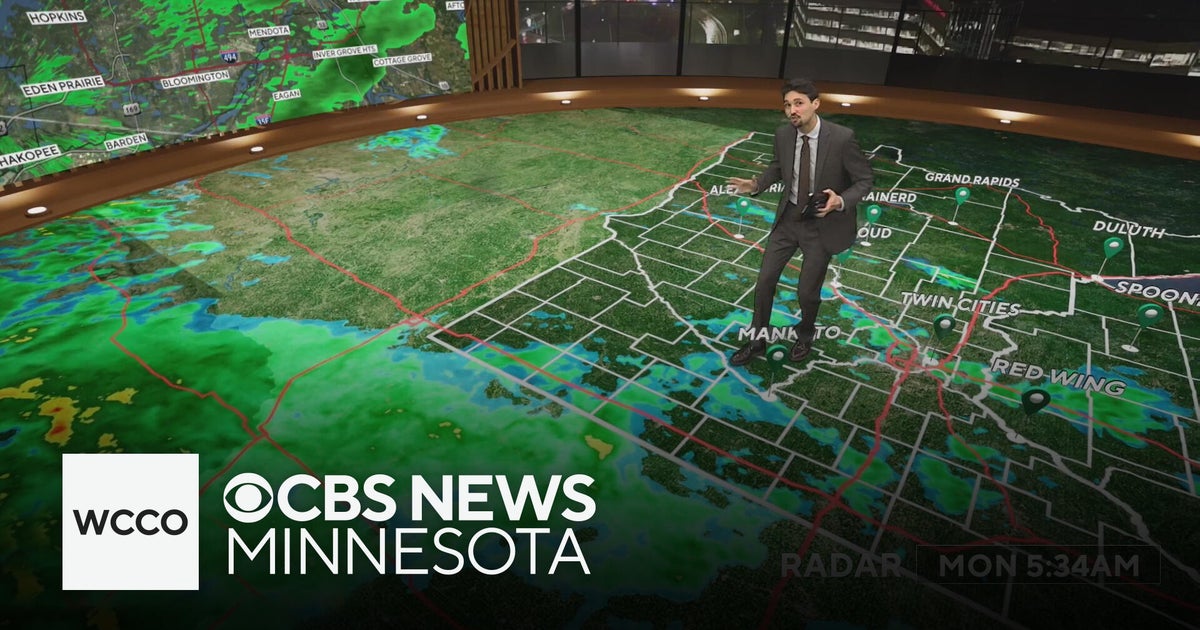 Widespread rainy weather in Minnesota | Oct. 26, 2026
CBS News Minnesota is a local news organization that is part of CBS News and Stations. Also referred to as WCCO-TV and channel 4, CBS News Minnesota offers local breaking news, weather coverage and investigative…
-
 Widespread rain in Minnesota Monday; milder air returns Tuesday
Updated on: October 26, 2026 / 6:42 AM CDT / CBS Minnesota Minnesota will see widespread rain Monday, with the heaviest amounts across the western and central parts of the state. Some areas could see more than an inch…
-
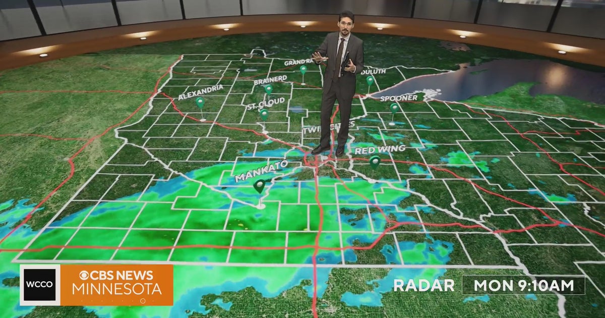 Minnesota weather veers toward soaking rain Monday, with some areas topping an inch | Oct. 26, 2026
Widespread rain moves through, with the heaviest amounts in western and central Minnesota, and highs only in the 40s. Rain exits early Tuesday, then skies gradually clear and highs rebound into the 50s and 60s, WCCO…
-
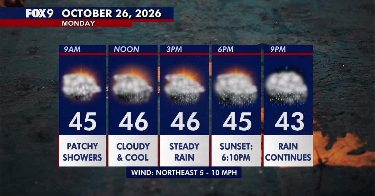 Minnesota weather: Wet, cloudy and cool Monday
Monday stays cloudy and chilly, with scattered morning showers turning into steadier afternoon rain across much of Minnesota. Temperatures remain mainly in the 40s before rain clears Tuesday and warmer weather returns…
-
 Cloudy Sunday with scattered showers as cooler air returns to Minnesota
October 25, 2026 / 12:39 PM CDT / CBS Minnesota A cold front has brought some cooler, more seasonal air to Minnesota. There will be lots of clouds Sunday, keeping highs in the mid-50s. There could be a few showers in…
-
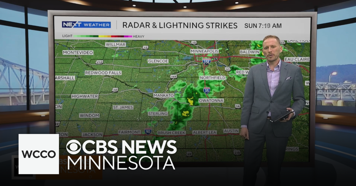 Cooler air returns to Minnesota, along with scattered showers | Oct. 25, 2026
CBS News Minnesota is a local news organization that is part of CBS News and Stations. Also referred to as WCCO-TV and channel 4, CBS News Minnesota offers local breaking news, weather coverage and investigative…
-
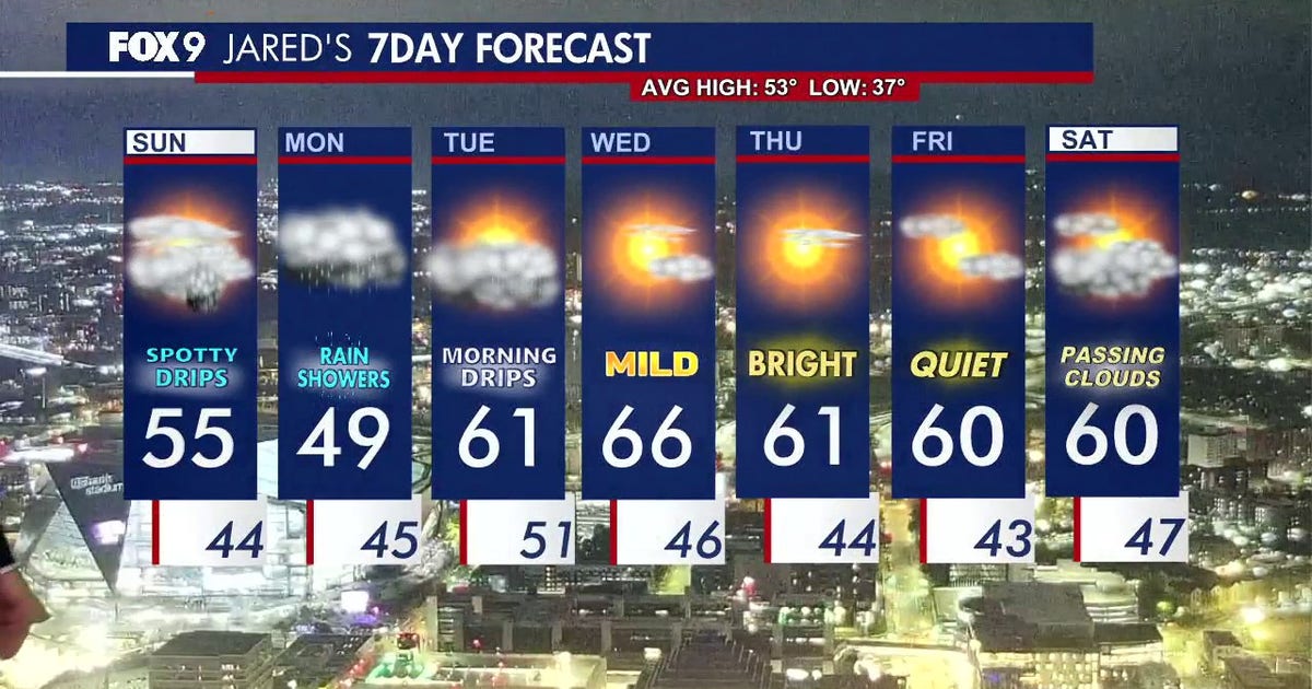 Minnesota weather: Cloudy skies and cooler air ahead after overnight rain
Expect a cool and cloudy Sunday with scattered, passing showers later in the evening. FOX 9 meteorologist Jared Piepenburg has the full forecast. MINNEAPOLIS (FOX 9) - Cooler air, clouds and scattered rain are set to…
-
 When Does Daylight Saving Time End in Minnesota?
I like bright sunny summer days, so the transition to fall is always a downer for me. The part I like the least is how short the days get. You've probably already noticed the sun going down earlier each day, and it…
-
 Another round of wind and showers Saturday in Minnesota | Oct. 24, 2026
CBS News Bay Area Morning Edition Weekend 6am WBZ This Morning 8am CBS News Chicago Saturday 8am CBS Colorado Mornings Weekend CBS News Los Angeles Weekend 6am CBS News Miami This Morning 9am WCCO News Saturday Morning…
-
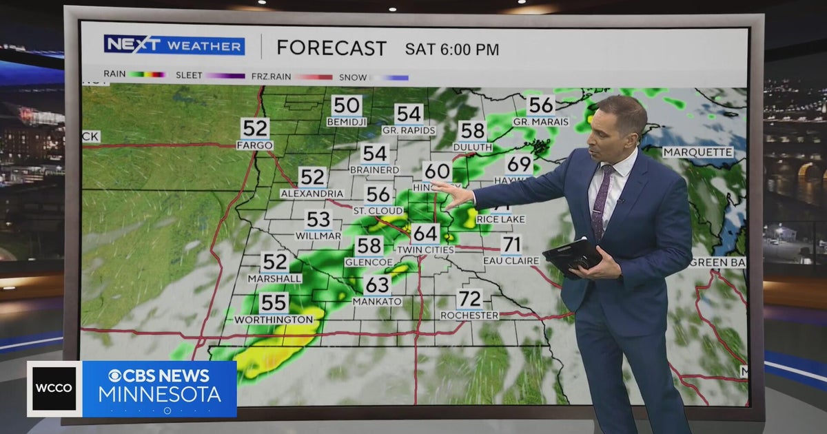 Minnesota weather to feature warm temps Saturday before cooldown | Oct. 23, 2026
CBS News Minnesota is a local news organization that is part of CBS News and Stations. Also referred to as WCCO-TV and channel 4, CBS News Minnesota offers local breaking news, weather coverage and investigative…
Air quality
Air quality is satisfactory, and air pollution poses little or no risk.
Forecast
- MonGood (4)
- TueGood (11)
- WedModerate
Northern Twin Cities Metro, MN reporting area · 1 hr ago. Data from AirNow (EPA and its state, local and tribal partners); preliminary and subject to change.
Sun & moon
Almanac
MonthlyCambridge, records since 1893. Normals 1991–2020. Data from NOAA's Regional Climate Centers (ACIS).
Nearby
- Minneapolis 38 km
- Saint Paul 43 km
- Bloomington 54 km
- Brooklyn Park 28 km
- Plymouth 40 km
- Maple Grove 34 km
- Woodbury 48 km
- Eagan 57 km
- Eden Prairie 56 km
- West Coon Rapids 21 km
- Coon Rapids 23 km
- Blaine 18 km
Forecasters' discussion
From the National Weather Service office in MPX, issued 53 min ago
Key Messages
- High confidence rain continues today and returns on Wednesday, lower confidence rain chances this weekend.
- After a cooler day today, warmer air returns for the rest of the week with some low 70s possible on Wednesday.
Discussion
Issued at 153 PM CDT Mon Oct 26 2026
Today and Tomorrow... Rain continues to fall across much of southern Minnesota and western Wisconsin this afternoon. This area of stratiform rain will gradually shift to the north this afternoon into the evening. Some more isolated to scattered rain showers could come together south of this main area of rain this evening into tonight. This is all driven by a shortwave off to our west. The PVA induced synoptic lift combined with warm and moist southerly flow at 850 mb has given us a solid rain setup. This flow has driven precipitable water values up above the 90th percentile both in observed climatology based on the 12Z MPX sounding this morning and the NAEFS analysis. In addition, all this saturation has also kept us in cloud cover. These clouds will persist well into tomorrow. This cloud cover has helped to keep temperatures low today with highs struggling to get out of the 40s. On the other side, temperatures will not fall much tonight due to these same clouds. Temperatures tonight will also be buoyed by some WAA. As the primary forcing shifts north some rain chances will continue across central Minnesota into tomorrow morning. Tomorrow looks to be warmer as WAA occurs with highs in the 50s to some lower 60s south of I-94 and east of I-35.
Wednesday to Thursday... The early week WAA will continue as we move into Wednesday. This will set Wednesday up to be the warmest day of the week. Highs generally in the 60s, but lower 70s are also likely (most likely across southern MN and western WI). This warm up won't last long as a cold front will move through late Wednesday. This cold frontal passage will also be the driver for our next round of rain. This should be a quicker round of rain as it will be forced by this front rather than today's broader scale forcing. This means by Thursday morning rain chances will be falling off quickly and some of the lingering PoPs are more based on some timing differences within ensemble guidance. With the warmer airmass ahead of the front there could be enough instability for some thunderstorms on Wednesday ahead of the frontal passage. The modest instability will make it unlikely for deep convection and therefore severe storms to occur. Looking towards Thursday's temperatures, this post-frontal airmass will be cooler than Wednesday. Due to high pressure clearing the skies though, temperatures will still be above normal with high temperatures in the mid 50s to mid 60s on Thursday.
Friday into the weekend... Friday looks fairly similar to Thursday with the exception of the clouds starting to return late as the next system starts to move in from the west. Still a fair amount of spread in how this system plays out this weekend, so NBM PoPs remain broad and low. In general, when comparing the global ensemble systems southern Minnesota has the highest chance with more membership giving rain chances than locations to the north. As we move into the middle of this week there should be more convergence in the various members of the ensembles for us to gain more confidence in where this round of rain will occur. The overall movement of this system though does look to bring back the southerly flow and above normal temperatures look to continue through the weekend. Looking farther ahead into long range GEFS guidance it could be well into November before MSP Airport, the Twin Cities official climate site, falls below freezing. The record latest freezing temperature is November 18th from 2016, so still a while to go. GEFS means though show that it could be close to or after this record when MSP finally falls below freezing.
Aviation
Issued at 1205 PM CDT Mon Oct 26 2026
A stratiform rain shield will continue to overspread southern MN and west-central WI this afternoon. Conditions will fall at least MVFR from southwest to northeast later this afternoon into this evening as visibilities drop due to increasing rainfall rates and cigs fall. IFR is expected across western and central MN tonight as the surface low moves overhead. Farther to the south and east, an improvement in cigs is expected overnight as a dry slot moves in along with more showery activity. Rain will taper off from west to east early Tuesday morning. However, a further reduction in cigs is likely with pooling low-level moisture on the backside of the system. LIFR is most likely in western and central MN for at least a couple of hours after sunrise. East-northeasterly winds will slowly turn clockwise to southeasterly during the TAF period. Speeds of 5-10 knots will also slowly increase with sustained values reaching 10-12 knots and gusts nearing 20 knots Tuesday morning.
KMSP...Steadier rain and MVFR should begin near 20z with conditions falling to IFR from 00-07z. The dry slot and -SHRA should allow for improvement back to MVFR after 07z with -SHRA ending by 12z. East-northeast winds will be near 10 knots through this afternoon. Winds slowly turn clockwise to southerly by tomorrow afternoon with gusts nearing 20 knots.
/OUTLOOK FOR KMSP/ WED...Chc -SHRA/MVFR. Wind S 5-10kts. THU...VFR. Wind NW 5-10kts. FRI...VFR. Chc -SHRA late. Wind E 5-10kts.
Mpx Watches
MN...None. WI...None.
Forecasts, observations and alerts in the United States come from the National Weather Service (NOAA); radar from NOAA's Multi-Radar Multi-Sensor system; satellite imagery from NASA's Global Imagery Browse Services (GIBS) and NOAA's GOES satellites; the map from the U.S. Geological Survey's National Map; air quality from AirNow (EPA and its partners); hurricane information from the National Hurricane Center; climate normals and records from NOAA's Regional Climate Centers (ACIS). Forecasts outside the United States and the UV index: MET Norway (CC BY 4.0); observations outside the U.S.: airport reports via NOAA's Aviation Weather Center. Place names: GeoNames (CC BY 4.0). Data are copied on a schedule and may lag the sources; for warnings that affect your safety, follow your local National Weather Service office and emergency officials. Weather news is drawn from the 4Search index and reflects what the press published. Terms of use. How to use Weather