Install
Auburn Hills, MI Weather
Current conditions
Observed at Pontiac, Oakland County International Airport · 40 min ago
Forecast
10-day-
Sunday
Patchy fog before 9am. Mostly sunny, with a high near 68.
-
Sunday Night
Patchy fog after 2am. Mostly cloudy, with a low around 48.
-
Monday
Patchy fog before 9am. Partly sunny, with a high near 64.
National Weather Service forecast updated 2 days ago.
Hourly
Hourly forecast- Now61°
- 1 PM64°
- 2 PM66°
- 3 PM67°
- 4 PM68°
- 5 PM67°
- 6 PM64°
- 7 PM61°
- 8 PM60°
- 9 PM57°
- 10 PM55°
- 11 PM53°
- Mon12 AM52°
- 1 AM51°
- 2 AM51°
- 3 AM50°
- 4 AM50°
- 5 AM50°
- 6 AM49°
- 7 AM48°
- 8 AM48°
- 9 AM50°
- 10 AM54°
- 11 AM57°
10-day forecast
Details- ThuOct 22Sunny44°67°
- FriOct 23Widespread Fog then Mostly Sunny42°64°
- SatOct 24Patchy Fog then Sunny44°65°
- TodayOct 25Patchy Fog then Mostly Sunny48°68°
- MonOct 26Patchy Fog then Partly Sunny42°64°
- TueOct 27Partly Sunny40°58°
- WedOct 28Partly Sunny15%45°61°
- ThuOct 29Showers0.14 in41°56°
- FriOct 30Partly cloudy35°49°
- SatOct 31Sunny34°50°
Days after the National Weather Service's seven are MET Norway's outlook, a computer model with no forecaster's review.
Radar
Full mapWeather news near Auburn Hills
More weather news-
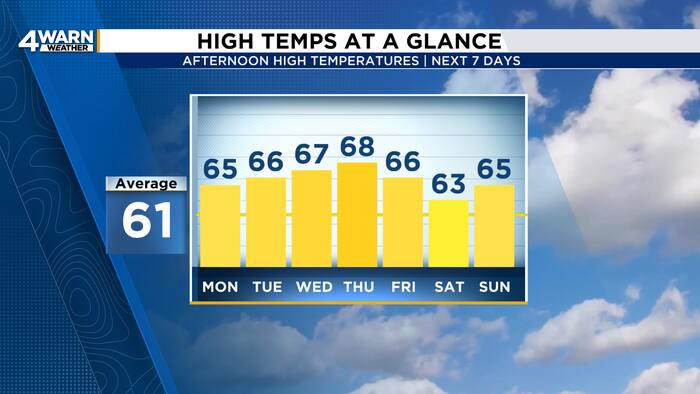 More sunshine and warmer temperatures across Metro Detroit this week
4Warn Weather - Southeast Michigan has a beautiful stretch of Fall weather this week! High pressure will keep skies mainly clear as temperatures gradually warm into the midweek. Skies are clear this evening with winds…
-
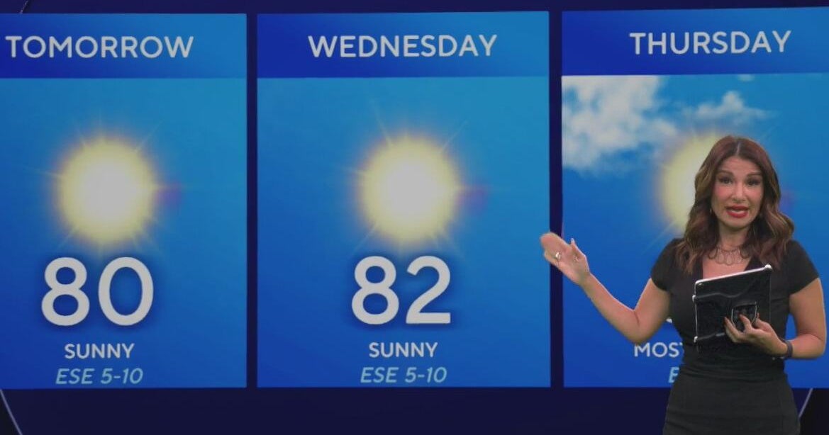 Beautiful stretch of weather continues across North Texas
The Takeout with Major Garrett CBS News Chicago 4pm CBS News Detroit 5pm CBS News Miami 5pm The 4 from WCCO News CBS News New York 5pm CBS News Philadelphia 5pm CBS News Texas at 4pm
-
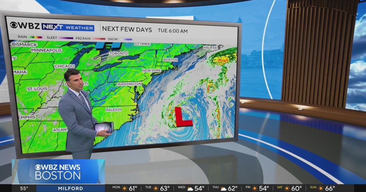 Next Weather: WBZ evening forecast for October 19, 2026
The Takeout with Major Garrett CBS News Chicago 4pm CBS News Detroit 5pm CBS News Miami 5pm The 4 from WCCO News CBS News New York 5pm CBS News Philadelphia 5pm CBS News Texas at 4pm
-
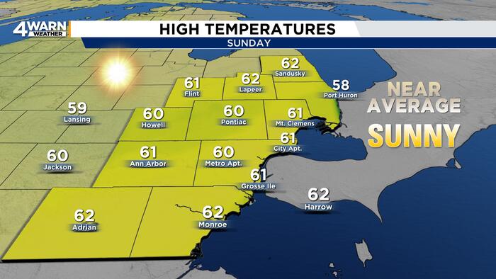 Marathon stretch of sunshine in Metro Detroit with warmer temps
4Warn Weather — Runners and spectators at the Detroit Free Press Marathon had a chilly start to Sunday’s race, but sunshine and a gradual warmup will make for a more comfortable afternoon. Metro Detroit started the…
- Sunny Sunday In Detroit Kicks Off Rare Dry, Mild Week Ahead
The National Weather Service in Detroit/Pontiac expects southwest winds of 6 to 12 mph Sunday, with gusts reaching 22 mph, according to the National Weather Service. Rain is not expected, making for comfortable…
-
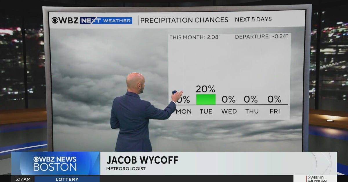 Next Weather: WBZ morning forecast for Oct. 19, 2026
CBS News Bay Area Evening Edition 11pm WBZ This Morning 5am CBS News Detroit 5am CBS News Los Angeles Weekend 11pm CBS News Miami 5am CBS News New York This Morning CBS News Philadelphia 5am KDKA-TV Morning News 5am…
-
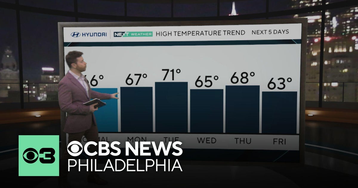 Sunny and dry stretch of weather in Philadelphia area
CBS News Colorado 10pm Sunday CBS News Detroit Weekend 11pm CBS News Los Angeles Weekend 9pm CBS News Philadelphia Weekend 11pm KDKA News Weekend 11pm CBS News Texas Weekend 10pm
-
 Next Weather: WBZ Update
CBS News Colorado 10pm Sunday CBS News Detroit Weekend 11pm CBS News Los Angeles Weekend 9pm CBS News Philadelphia Weekend 11pm KDKA News Weekend 11pm CBS News Texas Weekend 10pm
-
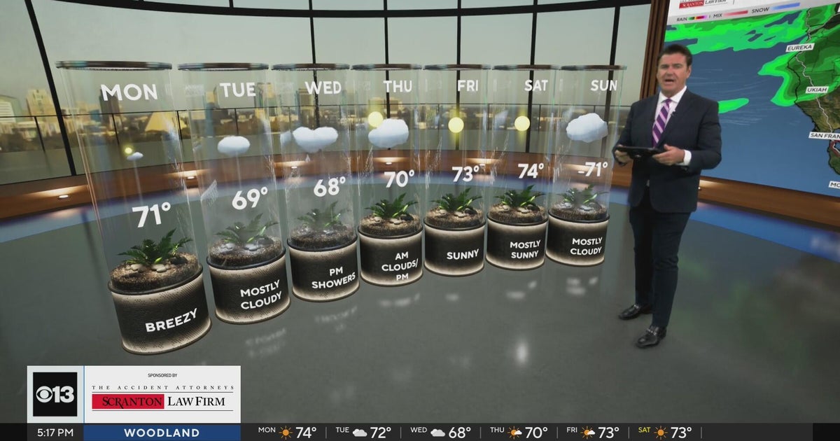 Sunday evening Northern California weather forecast - October 18, 2026
CBS News Bay Area Evening Edition Weekend 5pm CBS News Detroit Weekend 6:30pm CBS News Miami 6:30pm CBS Philadelphia at 6:30pm What's in Season with Michael Marks CBS News Texas 5:30pm
-
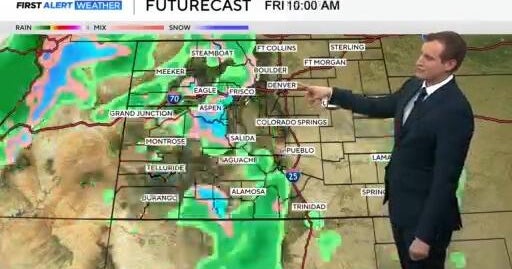 Tracking a mild and dry stretch in Denver with rain and snow in the mountains
CBS News Bay Area Evening Edition Weekend 5pm CBS News Detroit Weekend 6:30pm CBS News Miami 6:30pm CBS Philadelphia at 6:30pm What's in Season with Michael Marks CBS News Texas 5:30pm
Air quality
Acceptable. Unusually sensitive people should consider limiting prolonged outdoor exertion.
Forecast
- SunModerate
- MonModerate
Southeast, MI reporting area · 1 hr ago. Data from AirNow (EPA and its state, local and tribal partners); preliminary and subject to change.
Sun & moon
Almanac
MonthlyPontiac Wwtp, records since 1894. Normals 1991–2020. Data from NOAA's Regional Climate Centers (ACIS).
Nearby
- Detroit 42 km
- Windsor 47 km
- Warren 28 km
- Sterling Heights 21 km
- Clinton Township 28 km
- Flint 52 km
- Dearborn 41 km
- Livonia 37 km
- Canton 47 km
- Troy 11 km
- Westland 43 km
- Farmington Hills 25 km
Forecasters' discussion
From the National Weather Service office in DTX, issued 7 hrs ago
Key Messages
- A Dense Fog Advisory is in effect until 10 AM for SE Michigan, except for the Tri Cities and northern Thumb.
- There is potential for more dense fog Monday morning with similar late morning dissipation timing.
- High temperatures increase to around 70 today before a dry cold front drops readings back into the upper 50s to low 60s Monday and Tuesday.
- Dry weather continues through the middle of next week.
Dtw Threshold Probabilities
* High for cigs/vsby below 200 ft and/or 1/2SM this morning.
Prev Discussion
Issued at 352 AM EDT Sun Oct 25 2026
DISCUSSION...
High pressure centered on the mid Atlantic coast extends back across the Ohio valley while remaining the primary weather influence in SE Mi today. As has been the case the last few mornings, fog is once again a factor leading up to sunrise with a slightly different footprint each night depending on boundary layer wind direction. The SE component this morning has a plume augmented by Lake Erie and St Clair moisture moving inland leading up to forecast issuance time. Hi-res model wind guidance indicates continued veering of the boundary layer flow that favors a shift toward the north and east during the early morning. The Dense Fog Advisory factors this in although with a chance for additional refinement on areal coverage based on observations leading up to sunrise.
Conditions otherwise exhibit thickening mid and high clouds moving in ahead of the Midwest frontal system. The leading low to mid level moisture axis is also producing pockets of radar returns from NW Lower Mi back into southern WI. Model depictions of theta-e advection are modest over top of dry air below 700 mb leaving little more than virga indications through the day. High temperatures near 70 are the weather highlight, averaging 10 to 15 degrees above normal for late October.
The surface cold front is slightly more productive as it enters northern Lower Mi this evening with the chance for a sprinkle grazing Saginaw Bay and northern Thumb by sunrise Monday. Even that tends to fade as the low level frontal zone settles farther south from mid level short wave and upper level jet support that is well north in Canada. The system lacks moisture but does carry in enough cooler air to drop temperatures back down toward more typical late October readings in the upper 50s and lower 60s Monday afternoon and lows in the mid 30s to around 40 by Tuesday morning.
The mid to late week period is set for resumption of above normal temperatures as low pressure organizes across the Plains and central Canada. The early week Great Lakes front stalls in the Ohio valley and is then pulled back north across the area by the Plains to Midwest low pressure system. Solutions among the 25/00Z models are once again lean on QPF due to limited forcing this far east along the warm front. Prospects for rain look better along the trailing cold front expected in Lower Mi late Thursday into Friday.
Dtx Watches
MI...Dense Fog Advisory until 10 AM EDT this morning for MIZ055-060>063- 068>070-075-076-082-083.
Lake Huron...None. Lake St Clair...None. Michigan waters of Lake Erie...None.
Forecasts, observations and alerts in the United States come from the National Weather Service (NOAA); radar from NOAA's Multi-Radar Multi-Sensor system; satellite imagery from NASA's Global Imagery Browse Services (GIBS) and NOAA's GOES satellites; the map from the U.S. Geological Survey's National Map; air quality from AirNow (EPA and its partners); hurricane information from the National Hurricane Center; climate normals and records from NOAA's Regional Climate Centers (ACIS). Forecasts outside the United States and the UV index: MET Norway (CC BY 4.0); observations outside the U.S.: airport reports via NOAA's Aviation Weather Center. Place names: GeoNames (CC BY 4.0). Data are copied on a schedule and may lag the sources; for warnings that affect your safety, follow your local National Weather Service office and emergency officials. Weather news is drawn from the 4Search index and reflects what the press published. Terms of use. How to use Weather