Install
Mayo, MD Weather
Current conditions
Observed at Annapolis, United States Naval Academy · 1 hr ago
Forecast
10-day-
Today
Sunny, with a high near 63. North wind around 13 mph.
-
Tonight
Mostly clear, with a low around 46. North wind around 10 mph.
-
Thursday
Sunny, with a high near 64. Northwest wind around 12 mph.
National Weather Service forecast updated 2 hrs ago.
Hourly
Hourly forecast- Now55°
- 1 PM58°
- 2 PM60°
- 3 PM61°
- 4 PM62°
- 5 PM63°
- 6 PM61°
- 7 PM58°
- 8 PM57°
- 9 PM55°
- 10 PM54°
- 11 PM53°
- Thu12 AM52°
- 1 AM51°
- 2 AM50°
- 3 AM49°
- 4 AM48°
- 5 AM47°
- 6 AM47°
- 7 AM46°
- 8 AM47°
- 9 AM49°
- 10 AM53°
- 11 AM56°
10-day forecast
Details- TodayOct 21Sunny46°63°
- ThuOct 22Sunny49°64°
- FriOct 23Sunny45°58°
- SatOct 24Sunny45°57°
- SunOct 25Sunny47°61°
- MonOct 26Sunny51°66°
- TueOct 27Mostly Sunny51°64°
- WedOct 28Light rain0.04 in53°67°
- ThuOct 29Partly cloudy54°69°
- FriOct 30Cloudy53°71°
Days after the National Weather Service's seven are MET Norway's outlook, a computer model with no forecaster's review.
Radar
Full mapWeather news near Mayo
More weather news-
 Met Éireann issue weather warning for counties including Mayo
The yellow rain warning will come into effect from 7:00 pm on Thursday, October 22, until 8:00 am on Friday, October 23. Met Ãireann issue weather warning for counties including Mayo The yellow rain warning will come…
- Minneapolis Weather Stays Sunny Before Weekend Showers
Tuesday stays sunny with a high near 67 and a south-southeast breeze of 5 to 10 mph. Wednesday and Thursday are forecast to have highs in the mid to upper 60s under mostly sunny skies, giving residents a warm window for…
-
 Trudy strengthens to a hurricane as system nears Mexico’s coast with major storm expected
Trudy has intensified into a Category 1 hurricane as it approaches the Pacific coast of Mexico. Trudy was located about 300 miles (480 kilometers) southwest of Acapulco, Mexico, with maximum sustained winds of 75 mph…
- A brief cool down, then a long spell of warm weather
KTTC ROCHESTER, Minn. (KTTC) – Fall can bring a broad range of weather conditions to our region. This month has been no exception. After three days of mid-summer heat with record-high temperatures in the mid-80s, we’re…
- Status yellow rain warning issued for five counties overnight
A status yellow weather warning is in place for five counties overnight and into Thursday morning, with the possibility of localised flooding Met Éireann has said. Heavy spells of rain are expected in Donegal, Galway…
-
 Galway storm LIVE as 76km winds recorded as west under 12 hour weather warning
Heavy winds are set to hit Galway today as a Met Eireann Yellow Rain Warning is in place from 6pm. It is the second warning that Met Eireann have issued for the northwest as three counties are currently experiencing a…
-
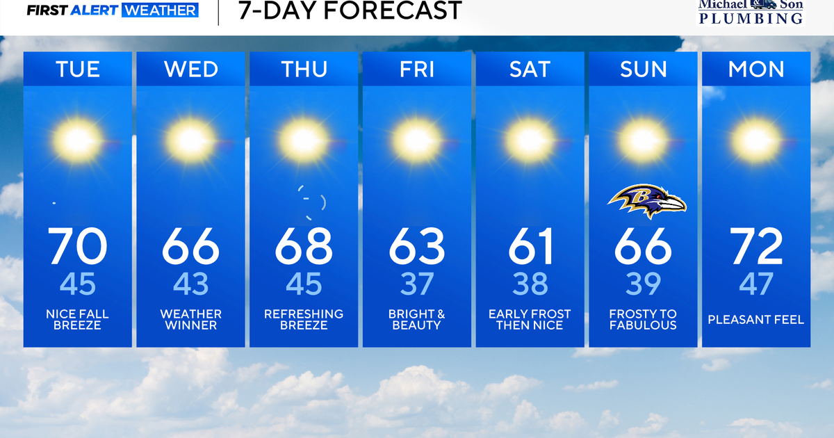 Nor'easter offshore keeps Maryland crisp, cool, and comfortable
Updated on: October 20, 2026 / 8:28 AM EDT / CBS Baltimore An atmospheric 'traffic jam' will keep Maryland in an exceptional fall weather pattern. Sunshine, crisp, and comfortably cool temperatures will continue through…
-
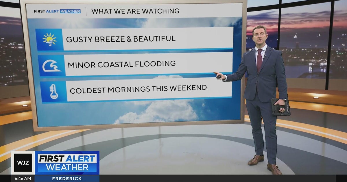 Beautiful stretch of weather in Maryland this week
CBS News Beautiful stretch of weather in Maryland this week Baltimore police investigate reported shooting along Belair Road Cool, nice, breezy weather continues in Maryland 1 killed in triple shooting near NW Baltimore…
-
 Fall weather is finally here in Maryland. But will it stay?
Maryland will continue to see cooler temperatures, complementing the beginning of changing leaves, wearing sweaters and Halloween festivities as the state enters autumn. "We finally have kind of seen a full transition…
-
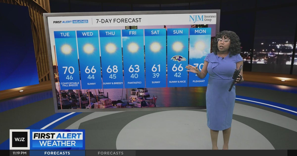 Cool, nice, breezy weather continues in Maryland
CBS News Cool, nice, breezy weather continues in Maryland 1 killed in triple shooting near NW Baltimore gas station Ravens will try to bounce back after disappointing loss in Cleveland | Purple Connection Baltimore…
Air quality
Air quality is satisfactory, and air pollution poses little or no risk.
Forecast
- WedGood (28)
- ThuGood (33)
- FriGood (33)
Metro Baltimore, MD reporting area · 1 hr ago. Data from AirNow (EPA and its state, local and tribal partners); preliminary and subject to change.
Sun & moon
Nearby
- Washington 45 km
- Baltimore 46 km
- Alexandria 47 km
- Columbia 48 km
- Silver Spring 46 km
- Waldorf 47 km
- Glen Burnie 32 km
- Ellicott City 49 km
- Dundalk 40 km
- Bowie 20 km
- Downtown DC 44 km
- Wheaton 50 km
Forecasters' discussion
From the National Weather Service office in LWX, issued 3 hrs ago
What Has Changed
Coastal Flood Advisories issued through Thursday afternoon for an extended period of minor tidal flooding.
Key Messages
- 1) Dry conditions and seasonable temperatures are expected through early next week.
Discussion
KEY MESSAGE 1...Dry conditions and seasonable temperatures are expected through early next week.
Surface high pressure continues to build north of the forecast area through the end of the week, yielding dry conditions, seasonal temperatures, and limited cloud cover. High temperatures will be in the 60s to near 70s each day with overnight lows in the 30s to mid 40s.
High pressure will build southward out of southeastern Canada and eastern Great Lakes region Saturday through Tuesday. Dry conditions are expected each day. There could be some areas of frost Saturday morning. Temperatures will start out chilly Saturday with highs 5 to 7 degrees below average and highs generally in the upper 50s to lower 60s. By Sunday, temperatures will be more seasonable. Monday will encounter highs approaching or reaching the 70 degree mark. By Tuesday, temperatures may be knocked down to seasonable once again. Highs in the middle 60s.
Aviation
VFR conditions continue as surface high pressure builds overhead and dry conditions persist. Winds remain primarily out of the north today before shifting to northwesterly on Thursday. On Friday, winds shift to northeasterly. Terminals located near the I-95 corridor will gust around 15 knots each afternoon. Otherwise, terminals can expect light northerly winds, no precipitation, and VFR conditions.
VFR conditions Saturday through Sunday night. Winds light and variable through the period.
Forecasts, observations and alerts in the United States come from the National Weather Service (NOAA); radar from NOAA's Multi-Radar Multi-Sensor system; satellite imagery from NASA's Global Imagery Browse Services (GIBS) and NOAA's GOES satellites; the map from the U.S. Geological Survey's National Map; air quality from AirNow (EPA and its partners); hurricane information from the National Hurricane Center; climate normals and records from NOAA's Regional Climate Centers (ACIS). Forecasts outside the United States and the UV index: MET Norway (CC BY 4.0); observations outside the U.S.: airport reports via NOAA's Aviation Weather Center. Place names: GeoNames (CC BY 4.0). Data are copied on a schedule and may lag the sources; for warnings that affect your safety, follow your local National Weather Service office and emergency officials. Weather news is drawn from the 4Search index and reflects what the press published. Terms of use.