Install
Beverly Cove, MA Weather
Current conditions
Observed at Beverly, Beverly Municipal Airport · 54 min ago
Forecast
10-day-
Saturday
Patchy frost before 9am. Sunny, with a high near 56. West wind around 5 mph.
-
Saturday Night
Patchy frost after 2am. Clear, with a low around 34. West wind around 3 mph.
-
Sunday
Patchy frost before 8am. Sunny, with a high near 60. Southwest wind around 5 mph.
National Weather Service forecast updated 1 day ago.
Hourly
Hourly forecast- Now38°
- 10 AM43°
- 11 AM48°
- 12 PM52°
- 1 PM55°
- 2 PM56°
- 3 PM56°
- 4 PM55°
- 5 PM53°
- 6 PM51°
- 7 PM48°
- 8 PM46°
- 9 PM45°
- 10 PM43°
- 11 PM42°
- Sun12 AM40°
- 1 AM38°
- 2 AM36°
- 3 AM34°
- 4 AM34°
- 5 AM34°
- 6 AM34°
- 7 AM36°
- 8 AM40°
Daily forecast
Details- FriOct 23Sunny34°54°
- TodayOct 24Patchy Frost then Sunny34°56°
- SunOct 25Patchy Frost then Sunny40°60°
- MonOct 26Sunny42°65°
- TueOct 27Sunny35°52°
- WedOct 28Sunny37°52°
- ThuOct 29Mostly Sunny43°57°
- FriOct 30Partly cloudy48°69°
- SatOct 31Sunny42°57°
Days after the National Weather Service's seven are MET Norway's outlook, a computer model with no forecaster's review.
Radar
Full mapWeather news near Beverly Cove
More weather news- Blustery Boston Braces for Frosty Weekend After Wind-Whipped Thursday
Boston is waking up to a brisk Thursday, with temperatures near 47 degrees early and north winds already making it feel cooler. The city should stay mostly dry as skies turn partly sunny, with an afternoon high near 60…
-
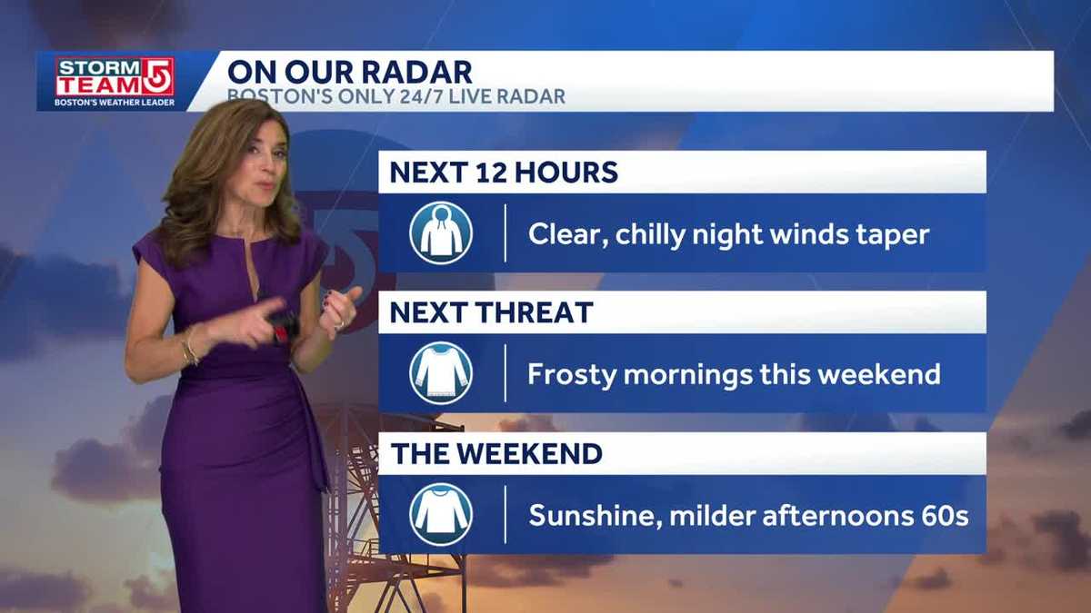 Video: Chilly weekend, warmer Monday
Less wind and cooler temperatures are expected Friday across the Boston area and Massachusetts. A chilly Saturday morning gives way to a milder Sunday afternoon. Monday turns warm with mostly sunny skies Tuesday. A spot…
-
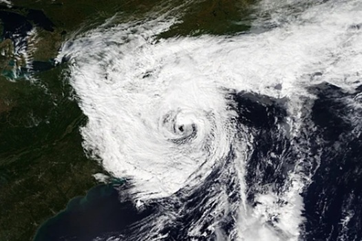 Deadly nor’easter dumps several inches of rain, strong winds in Massachusetts, Rhode Island and we aren’t done
A deadly slow-moving September nor’easter dumped several inches of rain on Fall River and the rest of southeastern Massachusetts over the weekend, according to the National Weather Service in Boston/Norton, while the…
-
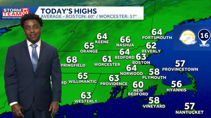 Video: Warmth peaks next week after chilly Friday
Thursday starts with AM clouds and breezy conditions across the Boston area, with temperatures above normal. Friday is pleasant but cooler, then Saturday starts chilly. Sunday turns milder, with warming continuing into…
-
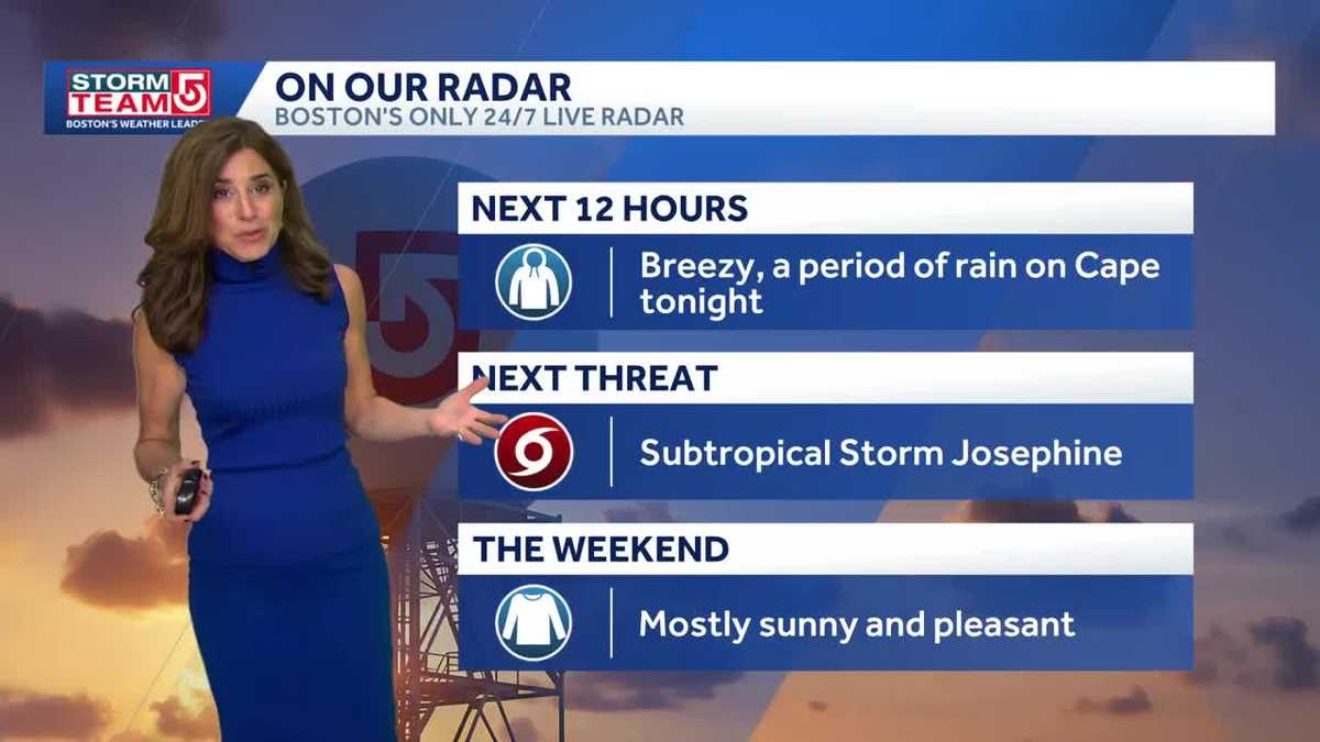 Video: Fall chill arrives this weekend
Thursday brings morning clouds and breezy conditions across the Boston area and Massachusetts. Pleasant weather arrives Friday before a chilly Saturday morning. Sunday turns milder in the afternoon, followed by warmer…
- Boston Weather Turns Windy Before Warmer Weekend
Boston is waking to a chilly, breezy Tuesday, with temperatures around 45 degrees early and sunshine helping the city climb to near 59. Northeast winds, gusting as high as 29 mph, will make the day feel sharper than the…
-
 Dangerous Storm and Gale Warnings Issued for New York, Massachusetts, and the Rest of New England
The nor’easter’s strongest winds are shifting north, with Storm Warnings for waters south of New England, Gale Warnings for Massachusetts and Rhode Island waters, and coastal flooding on Long Island. The storm stays…
-
 Tropical Storm Vance has formed in the Pacific Ocean
Vance was located about 520 miles south of Acapulco, Mexico, on Wednesday afternoon. The center of the cyclone was at sea and posed no threat to land. Vance was located about 520 miles south of Acapulco, Mexico. Maximum…
-
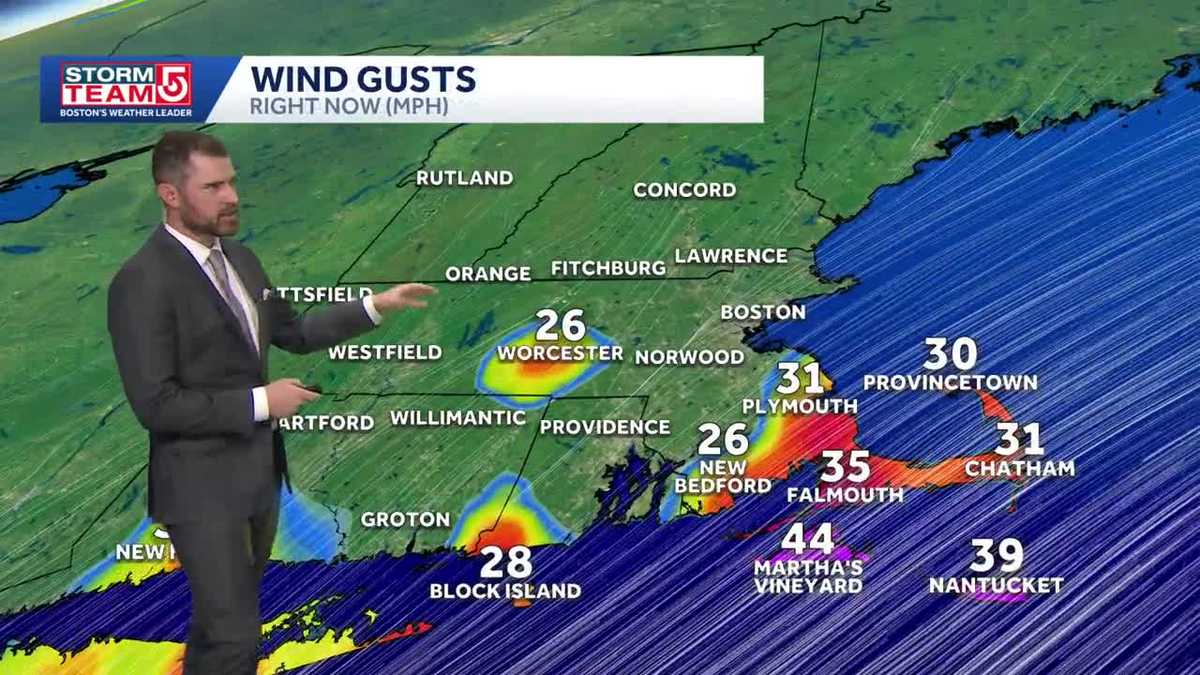 Video: Gusty, cooler Wednesday
Wednesday is impact weather with gusty winds and much cooler air across Massachusetts, with a chance for rain on the Cape this afternoon. StormTeam 5 tools: Radar | Map Room | Alerts | Futurecast Thursday brings some…
-
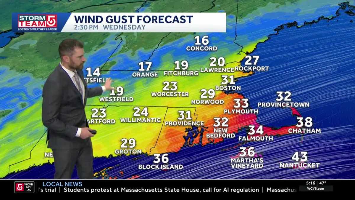 Video: Wednesday clouds, milder weather
Wednesday brings more clouds, especially around the Cape in the afternoon, with Thursday turning breezy and partly cloudy. StormTeam 5 tools: Radar | Map Room | Alerts | Futurecast The weekend starts cool Saturday…
Air quality
Air quality is satisfactory, and air pollution poses little or no risk.
Forecast
- SatGood
- SunGood
- MonGood
Essex, MA reporting area · 1 hr ago. Data from AirNow (EPA and its state, local and tribal partners); preliminary and subject to change.
Sun & moon
Almanac
MonthlyBoston Area, records since 1872. Normals 1991–2020. Data from NOAA's Regional Climate Centers (ACIS).
Nearby
- Boston 27 km
- Lowell 39 km
- Cambridge 29 km
- Dorchester 34 km
- Brockton 54 km
- Quincy 36 km
- Lynn 12 km
- Newton 38 km
- Nashua 55 km
- Somerville 27 km
- Lawrence 31 km
- Framingham 55 km
Forecasters' discussion
From the National Weather Service office in BOX, issued 7 hrs ago
What Has Changed
No meaningful changes to the forecast, with an extended stretch of quiet and dry weather ahead.
Key Messages
- Prolonged stretch of dry weather across southern New England. Moderating afternoon temperatures this weekend, though chilly mornings will bring widespread frost away from the immediate coast.
Discussion
KEY MESSAGE 1...Prolonged stretch of dry weather across southern New England. Moderating afternoon temperatures this weekend, though chilly mornings will bring widespread frost away from the immediate coast.
If the forecast discussion starts sounding like a broken record over the next several days, you can thank strong high pressure for that! An extended stretch of dry weather is expected, with some day-to-day variability in temperatures, but otherwise not much excitement on the horizon. In fact, global ensembles paint a rather parched picture for southern New England, with cumulative probabilities of measurable precipitation (0.01 inches or greater) generally less than 10 percent through much of next week.
An expansive area of surface high pressure, around 1035 mb, remains anchored across the region this weekend, with some guidance suggesting pressures could approach 1040 mb Saturday night. This will promote plenty of sunshine, light winds, and generally quiet conditions. Temperatures at 925 mb warm to +6C to +9C this afternoon, supporting highs in the upper 50s to lower 60s. If this were a few weeks earlier, with a higher sun angle, we'd likely be talking about highs in the middle to upper 60s. But here we are, nearing the end of October! Temperatures aloft continue to moderate Sunday and Monday, with 925 mb temperatures approaching +10C Sunday and +13C Monday. This should support highs in the lower to middle 60s Sunday, with some locations potentially reaching 70F Monday.
Overnight temperatures, however, are a different story. Clear skies and light to calm winds beneath strong high pressure will promote efficient radiational cooling. Opted to trend overnight lows below NBM guidance, which typically runs too warm in these setups. Saturday and Sunday mornings, and to some extent Monday morning, will be quite cold, with lows in the 20s to lower 30s and widespread frost away from the immediate coast and urban heat islands. Be sure to protect those mums and Halloween pumpkins! One interesting feature of this setup will be the potential for significant temperature differences between sheltered valleys and higher elevations. With clear skies and light winds promoting strong radiational cooling, colder air will settle into the valleys, while some elevated locations may remain several degrees warmer within the nocturnal temperature inversion.
Looking ahead, a moisture-starved cold front approaches from the north-northwest late Monday night into early Tuesday. However, persistent high pressure and dry air will likely limit the front to little more than some additional cloud cover and a cooler air mass. Highs return to the 50s Tuesday and Wednesday before potentially rebounding into the 60s Thursday and Friday. Overnight temperatures should trend closer to seasonable levels, although confidence is lower given uncertainty surrounding cloud cover and winds, both of which could limit radiational cooling. Fingers crossed this dry pattern holds just a little longer and gives us a dry All Hallows' Eve!
Aviation
Forecaster Confidence Levels...
Low - less than 30 percent. Moderate - 30 to 60 percent. High - greater than 60 percent.
06Z TAF Update:
Today through Sunday...High confidence in flight categories, moderate confidence in wind direction and speed.
High pressure brings dry weather and clear skies, with VFR conditions prevailing through the period. Wind direction and speed are a bit more challenging given the weakly forced environment. Winds around 2 kft are generally NW to N near 10 kt, though daytime heating and temperature differences between land and water may allow a weak sea breeze to develop along the coast. Confidence in sea- breeze development remains low. Regardless of direction, surface winds should remain light, generally 4 to 8 kt. Tonight, winds become calm to light and variable, generally less than 3 kt. More of the same is expected Sunday, with winds around 2 kft shifting to the west at 5 to 10 kt, while surface winds remain light, generally 4 to 8 kt.
KBOS Terminal...High confidence in flight categories, moderate confidence in prevailing winds, but low confidence in sea-breeze development.
Forecasts, observations and alerts in the United States come from the National Weather Service (NOAA); radar from NOAA's Multi-Radar Multi-Sensor system; satellite imagery from NASA's Global Imagery Browse Services (GIBS) and NOAA's GOES satellites; the map from the U.S. Geological Survey's National Map; air quality from AirNow (EPA and its partners); hurricane information from the National Hurricane Center; climate normals and records from NOAA's Regional Climate Centers (ACIS). Forecasts outside the United States and the UV index: MET Norway (CC BY 4.0); observations outside the U.S.: airport reports via NOAA's Aviation Weather Center. Place names: GeoNames (CC BY 4.0). Data are copied on a schedule and may lag the sources; for warnings that affect your safety, follow your local National Weather Service office and emergency officials. Weather news is drawn from the 4Search index and reflects what the press published. Terms of use.