Install
Amesbury, MA Weather
Current conditions
Observed at Lawrence Municipal Airport · 1 hr ago
Forecast
10-day-
Overnight
Partly cloudy, with a low around 40. North wind around 5 mph.
-
Tuesday
Sunny, with a high near 60. Northeast wind 6 to 13 mph, with gusts as high as 24 mph.
-
Tuesday Night
Mostly clear, with a low around 41. Northeast wind around 8 mph.
National Weather Service forecast updated 1 hr ago.
Hourly
Hourly forecast- Now41°
- 4 AM41°
- 5 AM40°
- 6 AM41°
- 7 AM40°
- 8 AM43°
- 9 AM47°
- 10 AM52°
- 11 AM56°
- 12 PM57°
- 1 PM59°
- 2 PM60°
- 3 PM59°
- 4 PM60°
- 5 PM60°
- 6 PM55°
- 7 PM53°
- 8 PM52°
- 9 PM49°
- 10 PM48°
- 11 PM48°
- Wed12 AM47°
- 1 AM46°
- 2 AM45°
10-day forecast
Details- TonightOct 19Partly Cloudy40°
- TodayOct 20Sunny41°60°
- WedOct 21Partly Sunny39°52°
- ThuOct 22Mostly Sunny37°61°
- FriOct 23Sunny34°51°
- SatOct 24Sunny37°55°
- SunOct 25Sunny41°61°
- MonOct 26Mostly Sunny65°
- TueOct 27Light rain0.05 in45°54°
- WedOct 28Cloudy41°49°
Days after the National Weather Service's seven are MET Norway's outlook, a computer model with no forecaster's review.
Radar
Full mapWeather news in Massachusetts
More weather news-
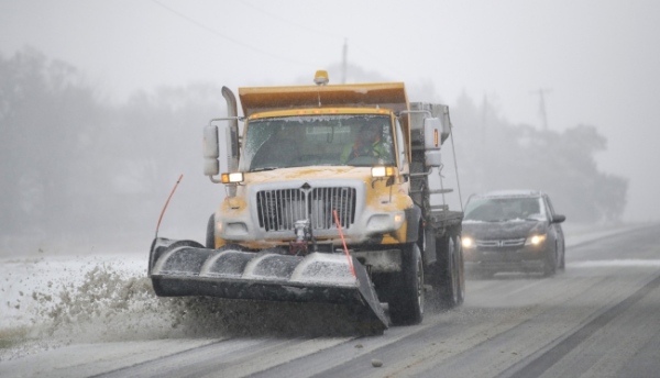 NOAA Outlook predicts wet winter for Massachusetts, Rhode Island, Connecticut, southern states
Fall River Reporter Winter Outlook has been released and it shows how El Nino will likely influence the upcoming winter months (December 2026 to February 2027), with warmer-than-average temperatures expected across the…
-
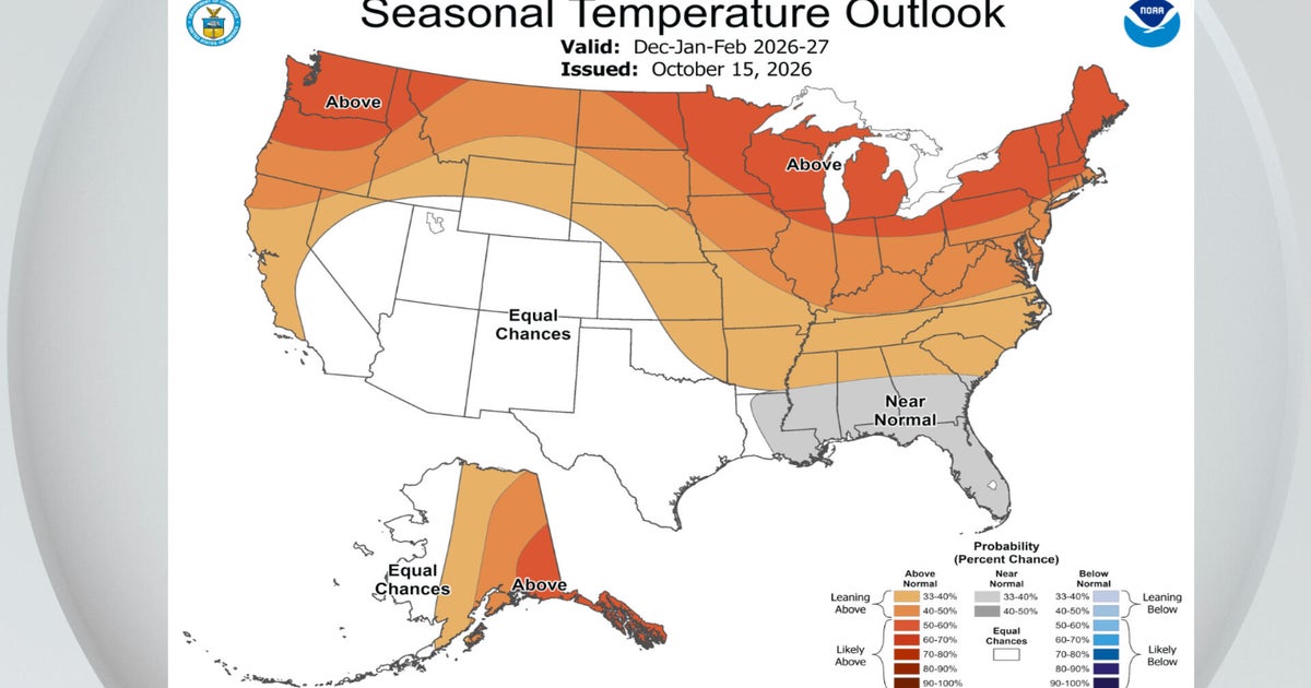 El Niño a major factor in NOAA's winter outlook. Maps show how it could affect Massachusetts.
October 15, 2026 / 1:30 PM EDT / CBS Boston NOAA's National Weather Service announced its winter outlook for the United States Thursday and there were no big surprises for Massachusetts. El Niño is ruling the roost. As…
-
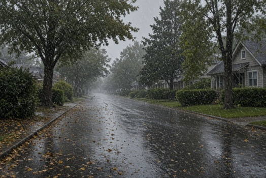 Parts of Massachusetts, Rhode Island, Connecticut to see up to 1+” of rain, strong winds, temps near freezing
Massachusetts, Rhode Island, and Connecticut are expected to see heavy rains, strong winds, and in some areas, temperatures near freezing. According to the National Weather Service, a low-pressure system is expected to…
-
 Rain and wind could disrupt your weekend plans in Massachusetts. See forecast
Rain showers, gusty winds, and temperatures dipping into the 40s and 30s could put a damper on outdoor weekend plans across Massachusetts. A low-pressure system is expected to bring rain Friday, Oct. 16, into early…
-
 Massachusetts futurecast: Big weather-maker is headed our way
DEDHAM, Mass. — A significant forecast change is coming, with a Weather Alert in effect Friday and Saturday as rain, stronger winds, and much colder air move into New England. Rain will be the biggest concern as the…
Air quality
Air quality is satisfactory, and air pollution poses little or no risk.
Forecast
- TueGood
Coastal Rockingham County, NH reporting area · 1 hr ago. Data from AirNow (EPA and its state, local and tribal partners); preliminary and subject to change.
Sun & moon
Nearby
Forecasters' discussion
From the National Weather Service office in BOX, issued 7 hrs ago
What Has Changed
No significant changes.
Key Messages
- Dry and seasonable through Tue night with gusty NE winds developing along the coast. Lows tonight and Tue night mainly in the 30s and 40s, with afternoon highs Tue in the upper 50s-middle 60s.
- Chances for rainfall towards coastal areas Wednesday into Thursday due to an offshore nor'easter well to our south. Main impacts from this system will be marine-based: rough seas, beach erosion, and strong winds.
Discussion
KEY MESSAGE 1...Dry and seasonable through Tue night with gusty NE winds developing along the coast. Lows tonight and Tue night mainly in the 30s and 40s, with afternoon highs Tue in the upper 50s-middle 60s.
Dry and seasonable weather continues through Tue night. Large high pressure across eastern Canada coupled with low pressure off the North Carolina coast will result in an increasing pressure gradient. This will result in a N-NE winds increasing Tue into Tue night along the coastal plain. Northeast wind gusts of 20-30 mph are expected to develop along the I-95 corridor with 30-40 mph wind gusts for the Cape and Islands. In fact, Nantucket may see a few gusts on the order of 45+ mph and approach marginal Wind Advisory criteria.
We expect dry weather to prevail through Tue night outside the low risk for a few showers reaching Nantucket. We may see some low clouds at times develop towards the southeast New England coast, but the greater risk for eastern MA/RI may wait until very late Tue night.
Low temps tonight and Tue night will be mainly in the 30s and 40s. The mildest lows will be across the Cape/Islands, where gusty NE winds will hold overnight low temps in the middle 40s to the lower 50s. High temperatures on Tuesday will be in the upper 50s to the middle 60s. The warmest of those highs will be across the interior with the coolest temps will be towards the Cape and Islands given the marine influence.
KEY MESSAGE 2...Chances for rainfall towards coastal areas Wednesday into Thursday due to an offshore nor'easter well to our south. Main impacts from this system will be marine-based: rough seas, beach erosion, and strong winds.
Confidence remains high that an offshore nor'easter will remain mainly south of our region. The questions are: how close does it approach southern New England? And how quickly will it move past us?
Aviation
Forecaster Confidence Levels...
Low - less than 30 percent. Moderate - 30 to 60 percent. High - greater than 60 percent.
Through Tuesday Night...High confidence.
Mainly VFR conditions continue through Tue, but some brief MVFR cigs may flirt with the Cape/Islands at times. Spotty MVFR bases already present this evening, but not thinking these CIGS will hold long. Handled with a TEMPO for now at KACK. Appears a greater risk for low clouds/MVFR cigs to overspread eastern MA/RI very late Tue night.
KBOS Terminal...High confidence in TAF.
KBDL Terminal...High confidence in TAF.
Forecasts, observations and alerts in the United States come from the National Weather Service (NOAA); radar from NOAA's Multi-Radar Multi-Sensor system; satellite imagery from NASA's Global Imagery Browse Services (GIBS) and NOAA's GOES satellites; the map from the U.S. Geological Survey's National Map; air quality from AirNow (EPA and its partners); hurricane information from the National Hurricane Center; climate normals and records from NOAA's Regional Climate Centers (ACIS). Forecasts outside the United States and the UV index: MET Norway (CC BY 4.0); observations outside the U.S.: airport reports via NOAA's Aviation Weather Center. Place names: GeoNames (CC BY 4.0). Data are copied on a schedule and may lag the sources; for warnings that affect your safety, follow your local National Weather Service office and emergency officials. Weather news is drawn from the 4Search index and reflects what the press published. Terms of use.