Install
Winnsboro, LA Weather
Current conditions
Forecast for this hour (no station report in the last two hours)
Forecast
10-day-
Overnight
Partly cloudy, with a low around 48. East northeast wind around 5 mph.
-
Tuesday
Sunny. High near 81, with temperatures falling to around 77 in the afternoon. East northeast wind 5 to 10 mph.
-
Tuesday Night
Mostly clear, with a low around 47. Northeast wind 0 to 5 mph.
National Weather Service forecast updated 3 hrs ago.
Hourly
Hourly forecast- Now53°
- 4 AM52°
- 5 AM51°
- 6 AM50°
- 7 AM49°
- 8 AM51°
- 9 AM56°
- 10 AM64°
- 11 AM68°
- 12 PM71°
- 1 PM75°
- 2 PM76°
- 3 PM77°
- 4 PM79°
- 5 PM77°
- 6 PM75°
- 7 PM70°
- 8 PM63°
- 9 PM60°
- 10 PM58°
- 11 PM57°
- Wed12 AM56°
- 1 AM54°
- 2 AM53°
10-day forecast
Details- TonightOct 19Partly Cloudy48°
- TodayOct 20Sunny47°81°
- WedOct 21Sunny49°84°
- ThuOct 22Sunny49°85°
- FriOct 23Sunny50°84°
- SatOct 24Sunny52°84°
- SunOct 25Sunny50°82°
- MonOct 26Mostly Sunny82°
- TueOct 27Sunny52°79°
- WedOct 28Sunny56°74°
Days after the National Weather Service's seven are MET Norway's outlook, a computer model with no forecaster's review.
Radar
Full mapWeather news in Louisiana
More weather news-
 First Alert Forecast: Comfortable Warmth Continues Across Southwest Louisiana
LAKE CHARLES, La. (KPLC) -After a beautiful fall weekend with morning lows in the 40s and 50s and afternoon highs in the 70s, Southwest Louisiana is warming up slightly — but no major heat is in sight. Monday was a…
-
 Dry, sunny stretch locked in across Southeast Louisiana
NEW ORLEANS (WVUE) - Dry air and sunshine are locked in for the New Orleans area this afternoon. A light breeze will keep conditions comfortable across the metro, and no rain is on the way. Highs will warm back into the…
-
 Winds hold tight for Saturday’s last day of “Louisiana Severe Weather Awareness Week”
NEW ORLEANS (WGNO) – As the Louisiana Severe Weather Awareness Week wraps up, southeast Louisiana along with southern Mississippi continue to feel the “windy situation” and cooler temperatures through Saturday evening…
-
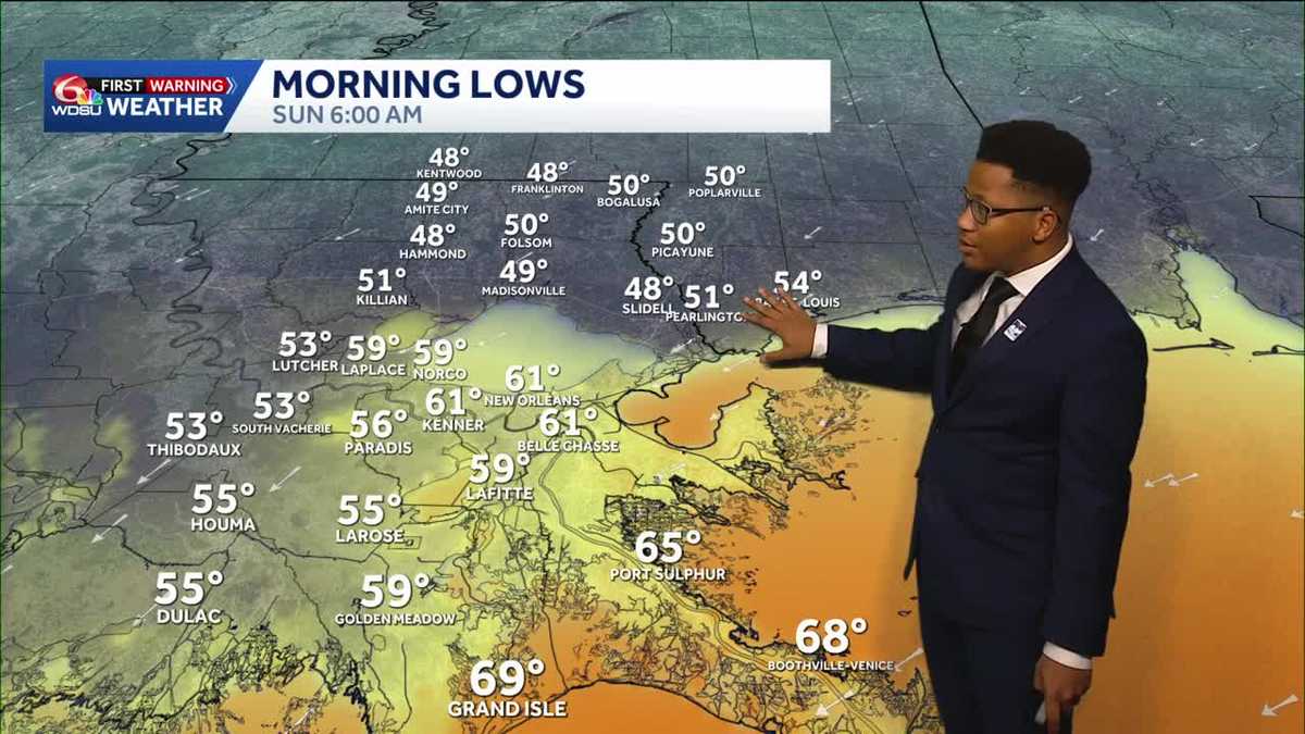 Chilly mornings return to Southeast Louisiana and Coastal Mississippi's weather forecast
Thanks to Friday's cold front, cooler air continues to move into the Deep South, including Southeast Louisiana and Coastal Mississippi. Temperatures across the Northshore Sunday morning will fall to the upper 40s and…
-
 What an El Niño winter is likely to look like for Louisiana
NEW ORLEANS (WVUE) - El Niño is setting the stage for a winter that will look very different depending on where you live across the United States. The National Oceanic and Atmospheric Administration’s winter outlook…
-
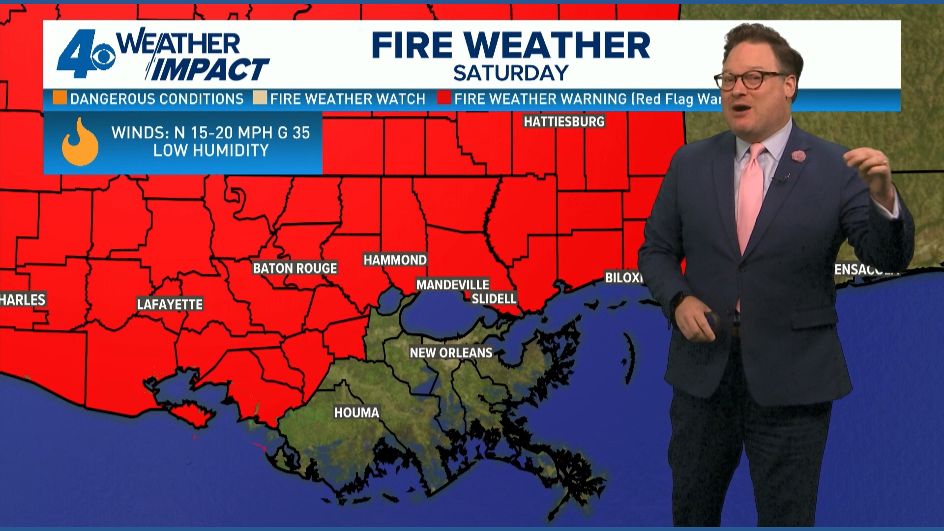 Red Flag Warning issued for parts of southeast Louisiana, southern Mississippi ahead of dry conditions
The National Weather Service has issued a Red Flag Warning for parts of southeast Louisiana and all of southern Mississippi on Friday. The warning is in effect from 9 a.m. until 8 p.m. on Saturday as forecasters say a…
-
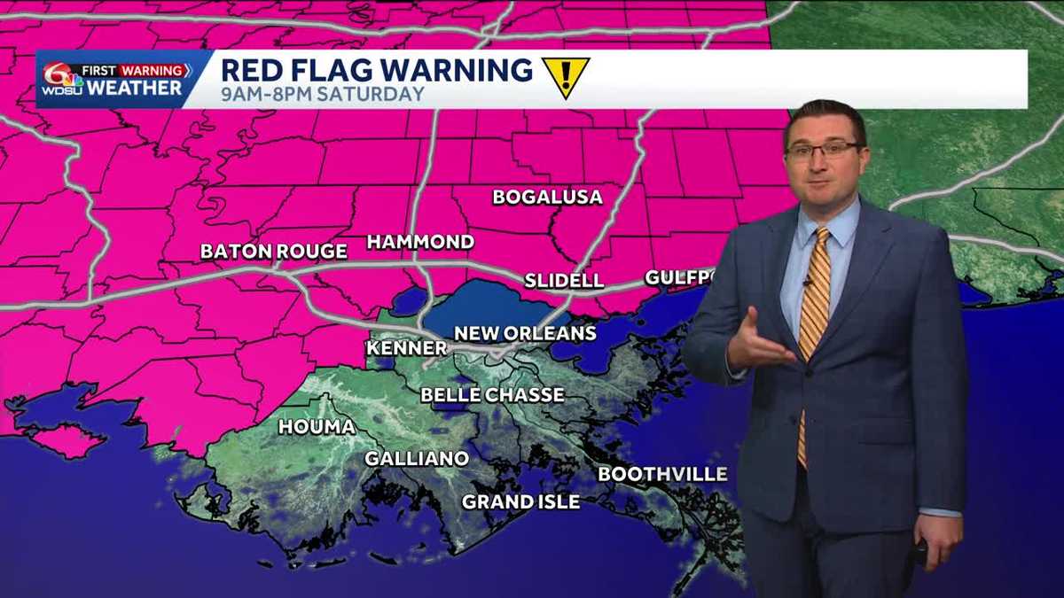 Cool, windy, and dry weather behind the cold front in Louisiana this weekend
A big change in the weather pattern is expected A strong cold front is currently moving through the region now and will bring much cooler, drier, and windier conditions with it. A Wind Advisory is in effect for all…
-
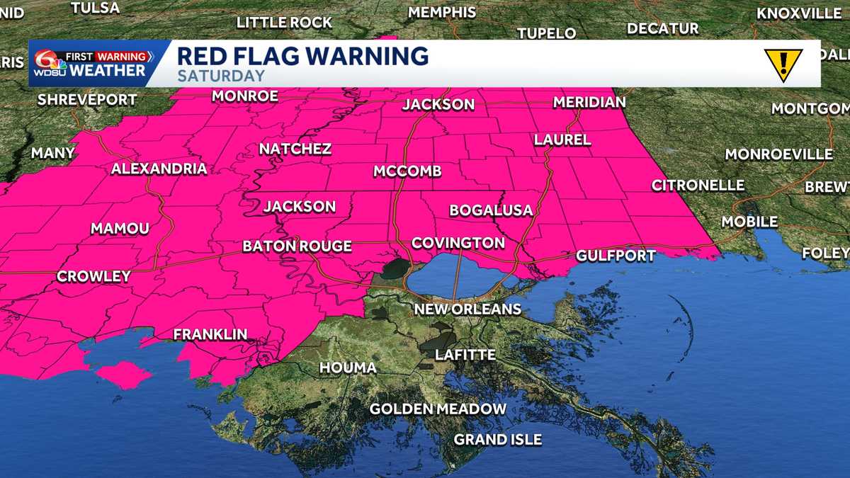 Impact Day Friday & Saturday: Red Flag Warning & Wind Advisory stretches across Southeast Louisiana
Red Flag Warning: Southeast Louisiana and Southern Mississippi Saturday The National Weather Service in New Orleans has issued a Red Flag Warning for all of southern Mississippi and parts of southeast Louisiana on…
-
 Locals ready for much-anticipated cold front to move into Southeast Louisiana
NEW ORLEANS (WVUE) - A cold front forecasted for greater New Orleans is expected to deliver the region a taste of fall. What is considered fall in New Orleans may not quite the definition of fall in other parts of the…
-
 Strong cold front bringing big temperature drop across Louisiana
WAFB Strong cold front bringing big temperature drop across Louisiana Fall chill arrives this weekend as fire weather concerns remain high
Air quality
Air quality is satisfactory, and air pollution poses little or no risk.
Forecast
- TueGood (44)
- WedGood (46)
Monroe, LA reporting area · 1 hr ago. Data from AirNow (EPA and its state, local and tribal partners); preliminary and subject to change.
Sun & moon
Nearby
- Monroe 54 km
- West Monroe 56 km
- Claiborne 59 km
- Tallulah 57 km
- Monticello 57 km
- Swartz 51 km
- Brownsville 54 km
- Rayville 35 km
- Bawcomville 54 km
- Richwood 47 km
- Delhi 39 km
Forecasters' discussion
From the National Weather Service office in JAN, issued 2 hrs ago
Key Messages
- A limited fire danger threat continues this week.
Discussion
Issued at 137 PM CDT Mon Oct 19 2026
Through Tuesday: Temperatures will show a slow warming trend but continued dry conditions with cooler than normal morning lows and warmer than normal afternoon highs are still expected in the short term. Surface ridging from the northeast will continue across the region resulting in a northeast to east wind and keeping the Gulf closed through the period. Ridging aloft will remain over the region as well. Together these features will result in decent radiational cooling again tonight and near full insolation again Tuesday. The result will be critically low afternoon minimum relative humidity maintaining fire danger concerns. /22/
Tuesday Night through Monday...
Upper ridging aloft from the west will help keep weather conditions quiet across our CWA Tuesday night. Sky cover will be generally clear across much of our area heading into the overnight period, with low to mid cumulus clouds across portions of southwest MS and portions of northeast LA pushing from the northwest to the southeast. Expect nighttime lows to dip into the upper 40s/lower 50s areawide. Wednesday will remain quiet under clear skies. Look for afternoon highs on Wednesday to peak in the low to mid 80s. Dry and quiet conditions are expected Wednesday night with lows once again in the upper 40s/lower 50s.
The rest of the extended period will remain quiet thanks upper ridging aloft. The overall dry airmass will remain across the region through the remainder of this week with dewpoints mixing into the 40s and 50s each afternoon. Temperatures will continue to steadily warm each day. This warming will be felt more with daytime highs, than with overnight lows. Lows through the period will generally range from the upper 30s to low 50s. Meanwhile highs on Friday will range from the upper 70s to middle 80s. By Saturday, most of the area will see highs peak in the lower 80s to around 90s across much of our area. Portions of east MS and northeast MS will see highs peak in the upper 70s by the weekend.
These increasing high temperatures in this dry air mass will result in afternoon minimum relative humidity values falling to critically low values, i.e. generally into the 20-30% range. This, coupled with the extremely dry soil conditions across the area will continue to promote at least a "Limited" threat for dangerous fire conditions across the forecast area through the period. Please continue to monitor the latest forecast and outlook through the week, as some categorical adjustment could be made to portions of, if not all of, the forecast area. Quiet and dry weather will persist across the area heading into the new work week. /CR/
Aviation
(06Z TAFS) Issued at 1237 AM CDT Tue Oct 20 2026
VFR flight conditions with light, northeast winds will prevail through the period. /SW/
Preliminary Point Temps
Jackson 83 50 85 50 / 0 0 0 0 Meridian 80 48 81 47 / 0 0 0 0 Vicksburg 83 48 84 49 / 0 0 0 0 Hattiesburg 84 47 86 49 / 0 0 0 0 Natchez 82 49 85 49 / 0 0 0 0 Greenville 80 50 81 52 / 0 0 0 0 Greenwood 81 48 82 47 / 0 0 0 0
Forecasts, observations and alerts in the United States come from the National Weather Service (NOAA); radar from NOAA's Multi-Radar Multi-Sensor system; satellite imagery from NASA's Global Imagery Browse Services (GIBS) and NOAA's GOES satellites; the map from the U.S. Geological Survey's National Map; air quality from AirNow (EPA and its partners); hurricane information from the National Hurricane Center; climate normals and records from NOAA's Regional Climate Centers (ACIS). Forecasts outside the United States and the UV index: MET Norway (CC BY 4.0); observations outside the U.S.: airport reports via NOAA's Aviation Weather Center. Place names: GeoNames (CC BY 4.0). Data are copied on a schedule and may lag the sources; for warnings that affect your safety, follow your local National Weather Service office and emergency officials. Weather news is drawn from the 4Search index and reflects what the press published. Terms of use.