Install
Grand Bayou Mobile Home Park, LA Weather
Current conditions
Forecast for this hour (no station report in the last two hours)
Forecast
10-day-
Tonight
Mostly clear, with a low around 59. East wind 0 to 5 mph.
-
Tuesday
Sunny. High near 81, with temperatures falling to around 76 in the afternoon. Northeast wind around 5 mph.
-
Tuesday Night
Partly cloudy, with a low around 59. East wind 0 to 5 mph.
National Weather Service forecast updated 5 hrs ago.
Hourly
Hourly forecast- Now61°
- 4 AM61°
- 5 AM60°
- 6 AM60°
- 7 AM60°
- 8 AM64°
- 9 AM68°
- 10 AM73°
- 11 AM76°
- 12 PM78°
- 1 PM79°
- 2 PM79°
- 3 PM79°
- 4 PM78°
- 5 PM76°
- 6 PM72°
- 7 PM69°
- 8 PM67°
- 9 PM66°
- 10 PM65°
- 11 PM64°
- Wed12 AM63°
- 1 AM63°
- 2 AM62°
10-day forecast
Details- TonightOct 26Mostly Clear59°
- TodayOct 27Sunny59°81°
- WedOct 28Sunny57°82°
- ThuOct 29Sunny61°81°
- FriOct 30Mostly Sunny15%65°82°
- SatOct 31Chance Showers And Thunderstorms39%67°83°
- SunNov 1Mostly Sunny10%65°85°
- MonNov 2Mostly Sunny85°
- TueNov 3Rain1.09 in65°83°
- WedNov 4Sunny0.20 in59°74°
Days after the National Weather Service's seven are MET Norway's outlook, a computer model with no forecaster's review.
Radar
Full mapWeather news in Louisiana
More weather news-
 What El Niño could mean for November weather in Southeast Louisiana and Southern Mississippi
NEW ORLEANS (WVUE) - November is a transition month - a time when summer’s heat finally loosens its grip and winter’s chill begins to creep in. But with El Niño in the picture, history suggests the month could bring…
-
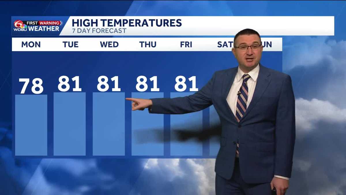 Cloudy skies but with no rain today across southeast Louisiana
Conditions will stay dry and quiet through at least the work week Skies will remain partly to mostly cloudy through today with high temperatures in the upper 70s to low 80s in the afternoon. Less clouds tomorrow with…
-
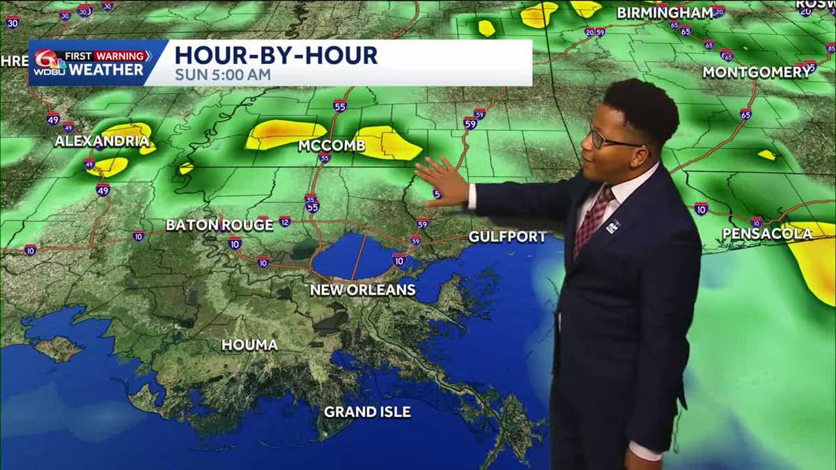 Louisiana's Halloween Forecast: Wet weather possible next weekend
Rain potential returns Halloween night, breaking a nearly month-long dry streak The prolonged period of dry weather across the region will continue through the workweek before a potential shift in the pattern arrives…
-
 New weather warnings as third storm set to hit Scotland
Two new weather warnings have been issued as a third storm in a matter of days is set to batter Scotland. It comes as thousands of homes across the country remain without power in the aftermath of Storm Boelo. A yellow…
- Louisiana's weather: Drought, Halloween, and Saints in Paris Forecast
From football to parade plans, the weather cooperates! Expect a sunny Sunday with cooler temperatures after sunset Today marks the 20th day with no rain at the New Orleans Airport, representing ongoing drought…
-
 Newcastle-Upon-Tyne
Right now, the tide in Newcastle-Upon-Tyne is Rising Right now, the tide in Newcastle-Upon-Tyne is Tidal information supplied by the UK Hydrographic Office, external ... Right now, the tide in Newcastle-Upon-Tyne is…
-
 Fresh warnings issued as strong winds and heavy rain forecast after two storms
Fresh weather warnings have been issued as strong winds and heavy rain are on the way after two storms battered Britain. Yellow wind warnings will be in place for western areas of the UK on Monday and Tuesday as gales…
- London set for 10 days of dry weather after storms wreak havoc
London is set for a period of dry weather, after two named storms caused havoc over the weekend. Storm Austen was swiftly followed by Storm Boelo, with thousands across the south of England left without power as 80mph…
-
 Stunning photos capture October's Hunter's Moon around the world
A good view for the passengers of this plane flying over San Francisco Bay in California, US The October full Moon lit up skies around the world this weekend. Full Moons throughout the year have traditionally been given…
-
 Vance no longer a hurricane but still threatens Mexico’s Pacific coast as a tropical storm
MIAMI — A gradually weakening Tropical Storm Vance churned Sunday off Mexico’s southwest Pacific coast but still threatened heavy rains and flash flooding in several western states of the country. Vance, a former…
Air quality
Air quality is satisfactory, and air pollution poses little or no risk.
Forecast
- TueModerate (55)
- WedModerate (58)
Thibodaux, LA reporting area · 1 hr ago. Data from AirNow (EPA and its state, local and tribal partners); preliminary and subject to change.
Sun & moon
Almanac
MonthlyThibodaux 4 Se, records since 1893. Normals 1991–2020. Data from NOAA's Regional Climate Centers (ACIS).
Nearby
- Kenner 52 km
- Houma 35 km
- Laplace 34 km
- Prairieville 48 km
- Bayou Cane 32 km
- Shenandoah 59 km
- Thibodaux 13 km
- Bayou Boeuf 18 km
- River Ridge 54 km
- Luling 40 km
- Morgan City 48 km
- Destrehan 41 km
Forecasters' discussion
From the National Weather Service office in LIX, issued 3 hrs ago
Key Messages
Updated at 1017 PM CDT Mon Oct 26 2026
- Elevated fire danger will continue through at least Thursday. The ongoing drought conditions and dry fuels combined with low humidity and light to moderate winds will lead to potential for some fire spread. Residents should obey all burn bans in place and exercise extreme caution with any open flames outdoors even in areas that do not currently have burn bans in place.
- Although winds will ease today into early Wednesday, wind speeds are expected rise once again over most of the coastal waters causing additional small craft advisories later this week.
Short Term
(Now through Friday night) Issued at 1017 PM CDT Mon Oct 26 2026
October will come to and end and things will change in the weather department. This looks to be right on que as a system gets organized by Friday over TX and moves NE bringing some sh/ts over our area eventually. We will speak more to that in the extended. The short term is where this will all come together to bring the rain to the area. What will eventually occur will include Tropical Storm Vance in the eastPAC near Mexico. First, this tropical system is already getting some upper shear, but this will dramatically increase over the coming days to the point that it gets ripped to shreds(not a met term). The upper winds at about 130W over the central Pacific will reach the west coast of Mexico around the Baha area and the little tropical storm will be no match for this. These strong winds will also cause a buckel(short wave) in the long wave trough that will move into TX by Thu into Fri. The moisture from Vance will be transported in this flow and brought NEward. Models are currently all over the place with this since we don't have a good sample of all the features that will eventually cause this to occur. But the overall picture is undoubtfully in tact in that there will be a sfc low form from the long wave trough and short wave interaction and this low will kick out to the NE. The moisture will not be lacking at any level as we move into Fri night as the system is still over TX but is moving this way. Winds will also begin to rise once again by Wed as a sfc low near FL interacts with the large high to its north. Easterly to NE winds will remain, but will rise a bit by Wed and Thu. This is not normally an issue, but we are moving into a king tide cycle(adds to high tide levels and takes away at low tide levels during a spring tide cycle), so this could cause some minor coastal flooding possibly starting as early as Wed night into Thu at high tide times. Quick general explanation, spring tides occur twice a month and is when the sun, earth and moon are in alignment. A king tide is a spring tide but with the additional component of when the moons orbit brings it closest to earth, which only occur 3 to 4 times a year.
Long Term
(Saturday through Monday night) Issued at 1017 PM CDT Mon Oct 26 2026
Going into Halloween weekend overall the pattern looks to be slightly wetter to start the period. Aloft an H5 trough/vort will be moving over the region. This feature along with a weak surface trough along the I10 corridor and some added moisture from what is currently TS Vance in the Eastern Pacific will help generate showers and a few thunderstorms across the region. Globals are not in agreement in terms of QPF with GFS having the higher signal over the ECMWF. That said, ECM is not dry so we will keep middle of the road POPs in for Saturday through early Sunday before the upper trough lifts out of the region.
Going into Monday things look to dry out with a bit more zonal flow aloft. That said, looking upstream a broader and more robust upper level low develops over the high plains east of the Rockies. Impacts locally would likely be felt just beyond the scope of this period, but we will end the period watching what looks to be a strong cold front moving into the region early to midweek next week with additional POPs and a likely cool down behind. Speaking of temps, this week will remain steady with most locations warming into the lower to mid 80s during the afternoon. As more surface moisture returns to the region, expect temperatures overnight to be a little warmer with the region only dropping into the 60s this weekend and early next week. (Frye)
Aviation
(06Z TAFS) Issued at 1017 PM CDT Mon Oct 26 2026
VFR through this cycle.
Forecasts, observations and alerts in the United States come from the National Weather Service (NOAA); radar from NOAA's Multi-Radar Multi-Sensor system; satellite imagery from NASA's Global Imagery Browse Services (GIBS) and NOAA's GOES satellites; the map from the U.S. Geological Survey's National Map; air quality from AirNow (EPA and its partners); hurricane information from the National Hurricane Center; climate normals and records from NOAA's Regional Climate Centers (ACIS). Forecasts outside the United States and the UV index: MET Norway (CC BY 4.0); observations outside the U.S.: airport reports via NOAA's Aviation Weather Center. Place names: GeoNames (CC BY 4.0). Data are copied on a schedule and may lag the sources; for warnings that affect your safety, follow your local National Weather Service office and emergency officials. Weather news is drawn from the 4Search index and reflects what the press published. Terms of use. How to use Weather