Install
Louisa, KY Weather
Current conditions
Forecast for this hour (no station report in the last two hours)
Forecast
10-day-
Tonight
Clear, with a low around 41. East wind 0 to 3 mph.
-
Saturday
Patchy fog between 8am and 9am. Sunny, with a high near 71. Southeast wind around 2 mph.
-
Saturday Night
Clear, with a low around 40. East wind around 1 mph.
National Weather Service forecast updated 6 hrs ago.
Hourly
Hourly forecast- Now65°
- 7 PM60°
- 8 PM54°
- 9 PM50°
- 10 PM49°
- 11 PM48°
- Sat12 AM47°
- 1 AM46°
- 2 AM45°
- 3 AM44°
- 4 AM43°
- 5 AM42°
- 6 AM42°
- 7 AM42°
- 8 AM42°
- 9 AM44°
- 10 AM50°
- 11 AM58°
- 12 PM64°
- 1 PM68°
- 2 PM70°
- 3 PM70°
- 4 PM71°
- 5 PM70°
10-day forecast
Details- TodayOct 23Sunny41°69°
- SatOct 24Patchy Fog then Sunny40°71°
- SunOct 25Sunny38°71°
- MonOct 26Sunny42°73°
- TueOct 27Mostly Sunny45°72°
- WedOct 28Partly Sunny44°73°
- ThuOct 29Mostly Sunny45°74°
- FriOct 30Cloudy46°65°
- SatOct 31Sunny39°58°
- SunNov 1Cloudy37°68°
Days after the National Weather Service's seven are MET Norway's outlook, a computer model with no forecaster's review.
Radar
Full mapWeather news near Louisa
More weather news-
 October 18th Overnight Forecast
cbs19news.com : Freeze Warning from MON 1:00 AM EDT until MON 9:00 AM EDT Headline: Freeze Warning from MON 1:00 AM EDT until MON 9:00 AM EDT October 18th Overnight Forecast - 4-year-old dies after dog attack in Louisa…
-
 Bay Area gets weather whiplash with first rain of the season expected this week
The Bay Bridge and buildings during rainy weather as seen from Treasure Island in San Francisco on Nov. 17, 2025. Days after hot and dry weather led to red flag warnings in the North Bay, the Bay Area is forecast to get…
-
 More rain possible this week
LAS VEGAS (FOX5) — After a cloudy start to our Sunday, skies cleared nicely by the afternoon. We will enjoy sunny skies to start the work week with our high forecast to be in the low 80’s. Changes are on the way as a…
-
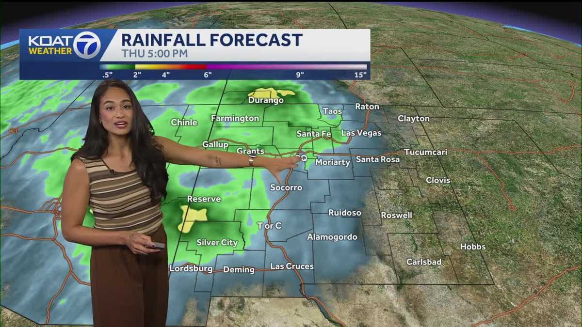 Another cold night then rain chances return Sunday
KOAT Another cold night then rain chances return Sunday Tropical moisture returns next week with potential for heavy rain and flood threats Not as cold tonight into Sunday morning, but you still need to layer up as you…
-
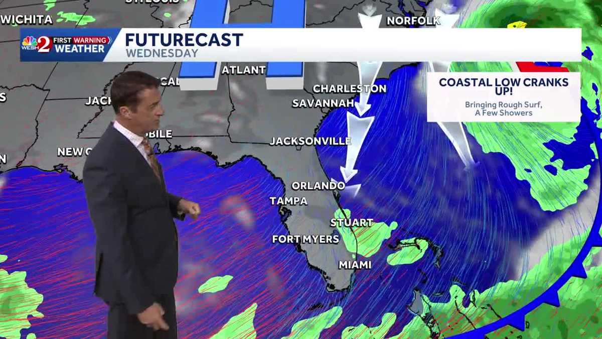 Windy and cooler weather conditions tonight through Sunday with rough surf into next week! 10.17.2026
WESH Windy and cooler weather conditions tonight through Sunday with rough surf into next week! 10.17.2026 Chief meteorologist Tony Mainolfi has Central Florida's updated forecast. Zacharia makes first statement since…
-
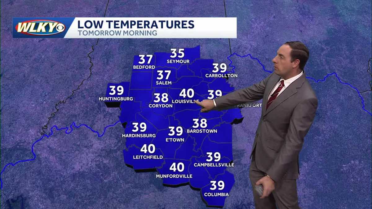 Clear and chilly tonight with a frost advisory
WLKY Clear and chilly tonight with a frost advisory WLKY meteorologist Eric Zernich's Saturday evening forecast Zacharia makes first statement since leaving job as White House press secretary 'I'm not a chicken': Senior…
-
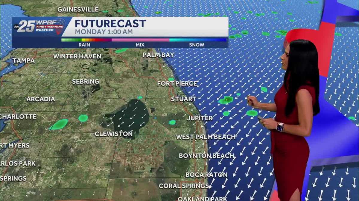 Strong winds expected Sunday; poor beach conditions
WPBF Strong winds expected Sunday; poor beach conditions THE POTENTIAL FOR FLOODING CONTINUES ACROSS THE TREASURE COAST AND SOUTH FLORIDA. HERES A LOOK AT AN ACTIVE RADAR WHERE WEVE ALREADY HADMULTIPLE FLOOD ADVISORIES…
-
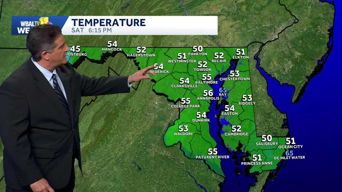 Frost is possible Saturday night in Maryland
Frost is possible tonight WBAL-TV Frost is possible Saturday night in Maryland Frost is possible tonight Good idea to cover or bring in any plants that are sensitive to the cold tonight. Frost is possible in areas away…
-
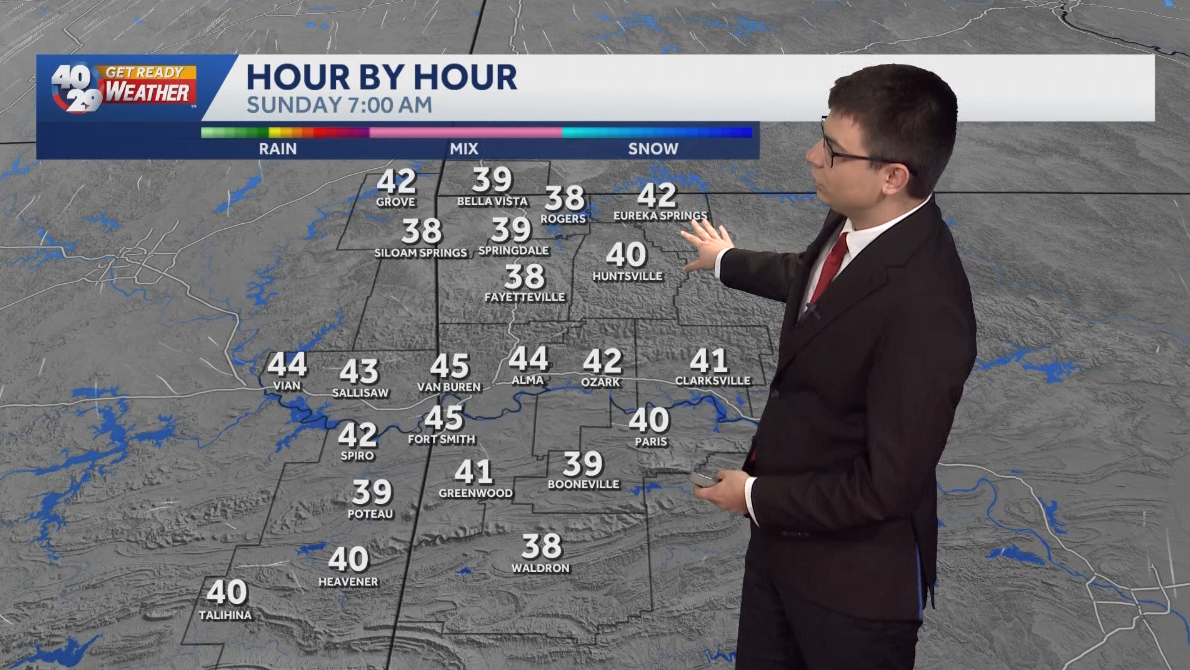 Staying cool on Sunday morning with warmer weather on the way
Some of us may see frost on Sunday morning, mainly in Northwest Arkansas. High temperatures on Sunday afternoon will be a touch warmer than today, reaching the upper 60s to low 70s. Temperatures will gradually warm…
-
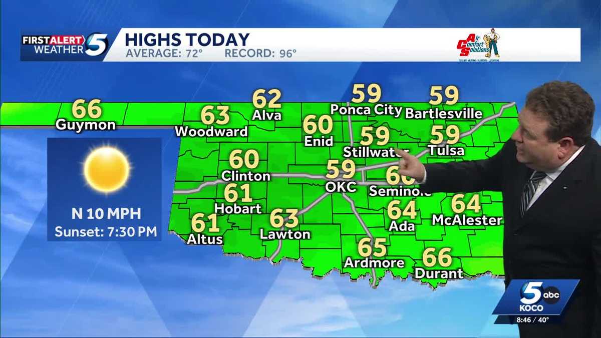 FORECAST: Cold start to weekend in Oklahoma
KOCO 5 Meteorologist Steve Carano shows you the cold start and the high temperatures Oklahoma will see on Saturday. >> Go to the KOCO weather page | Get KOCO on the Go | Subscribe to KOCO 5's YouTube channel | Sign up…
Air quality
Air quality is satisfactory, and air pollution poses little or no risk.
Huntington, WV reporting area · 1 hr ago. Data from AirNow (EPA and its state, local and tribal partners); preliminary and subject to change.
Sun & moon
Almanac
MonthlyHuntington Area, records since 1891. Normals 1991–2020. Data from NOAA's Regional Climate Centers (ACIS).
Nearby
- Meads 34 km
- Huntington 37 km
- Ashland 41 km
- Ironton 47 km
- Flatwoods 46 km
- Pea Ridge 42 km
- Westwood 41 km
- Paintsville 38 km
- Barboursville 42 km
- Grayson 39 km
- South Point 34 km
- Prestonsburg 52 km
Forecasters' discussion
From the National Weather Service office in RLX, issued 5 hrs ago
What Has Changed
No changes have been made to ongoing and quiet forecast.
Key Messages
1) Dry weather and morning river fog continues to be expected over the next 7 days, with patchy frost possible each morning through Monday.
Discussion
KEY MESSAGE 1...
The mid/upper-level pattern remains relatively unchanged from yesterday, with the apex of the subtropical ridge now shifting into the Upper Midwest. The Omega Block situated across the Lower 48 is still intact, but it will begin to collapse over the weekend as an amplified, neutrally-tilting trough digs eastward into the Desert Southwest. As this occurs, the core of the subtropical ridge will continue to gradually shift eastward and over the Deep South. This will keep the CWA dry, with warmer high temperatures to follow as geopotential height tendencies rise. Persistence forecasting has been applied to Saturday and beyond, with the crystal clear sky at night allowing for excellent radiational cooling and the development of typical river valley fog. Patchy frost can be expected across the higher terrain each morning through Monday, and the stagnant airmass will maintain calm-to-gentle winds.
Aviation
VFR will prevail through late tonight, with river valley fog returning towards sunrise Saturday. Fog will clear by 24/14-15Z, with VFR thereafter. Winds will remain light next 24+ hours.
FORECAST CONFIDENCE: High.
ALTERNATE SCENARIOS: The coverage and extent of fog tonight may vary from the forecast.
EXPERIMENTAL TABLE OF FLIGHT CATEGORY OBJECTIVELY SHOWS CONSISTENCY OF WFO FORECAST TO AVAILABLE MODEL INFORMATION: H = HIGH: TAF CONSISTENT WITH ALL MODELS OR ALL BUT ONE MODEL. M = MEDIUM: TAF HAS VARYING LEVEL OF CONSISTENCY WITH MODELS. L = LOW: TAF INCONSISTENT WITH ALL MODELS OR ALL BUT ONE MODEL.
UTC 1HRLY 17 18 19 20 21 22 23 00 01 02 03 04 EDT 1HRLY 13 14 15 16 17 18 19 20 21 22 23 00 CRW CONSISTENCY H H H H H H H H H H H H HTS CONSISTENCY H H H H H H H H H H H H BKW CONSISTENCY H H H H H H H H H H H H EKN CONSISTENCY H H H H H H H H H H H H PKB CONSISTENCY H H H H H H H H H H H H CKB CONSISTENCY H H H H H H H H H H H H
AFTER 18Z SATURDAY... SIGWX NIL until further notice besides morning river valley fog.
Forecasts, observations and alerts in the United States come from the National Weather Service (NOAA); radar from NOAA's Multi-Radar Multi-Sensor system; satellite imagery from NASA's Global Imagery Browse Services (GIBS) and NOAA's GOES satellites; the map from the U.S. Geological Survey's National Map; air quality from AirNow (EPA and its partners); hurricane information from the National Hurricane Center; climate normals and records from NOAA's Regional Climate Centers (ACIS). Forecasts outside the United States and the UV index: MET Norway (CC BY 4.0); observations outside the U.S.: airport reports via NOAA's Aviation Weather Center. Place names: GeoNames (CC BY 4.0). Data are copied on a schedule and may lag the sources; for warnings that affect your safety, follow your local National Weather Service office and emergency officials. Weather news is drawn from the 4Search index and reflects what the press published. Terms of use.