Install
Hazard, KY Weather
Current conditions
Observed at Jackson, Carroll Airport · 23 min ago
Forecast
10-day-
Overnight
Areas of fog. Clear. Low around 37, with temperatures rising to around 39 overnight. Wind around 0 mph.
-
Wednesday
Areas of fog before 7am, then areas of fog and patchy frost between 7am and 10am. Sunny. High near 70, with temperatures falling to around 68 in the afternoon. North wind around 2 mph.
-
Wednesday Night
Patchy fog between 3am and 4am. Clear. Low around 41, with temperatures rising to around 42 overnight. North northeast wind around 1 mph.
National Weather Service forecast updated 2 hrs ago.
Hourly
Hourly forecast- Now42°
- 2 AM41°
- 3 AM41°
- 4 AM40°
- 5 AM39°
- 6 AM38°
- 7 AM37°
- 8 AM37°
- 9 AM40°
- 10 AM47°
- 11 AM55°
- 12 PM61°
- 1 PM66°
- 2 PM69°
- 3 PM70°
- 4 PM69°
- 5 PM68°
- 6 PM64°
- 7 PM57°
- 8 PM53°
- 9 PM49°
- 10 PM47°
- 11 PM45°
- Thu12 AM45°
10-day forecast
Details- TonightOct 20Areas Of Fog37°
- TodayOct 21Areas Of Fog then Sunny41°70°
- ThuOct 22Areas Of Fog then Sunny40°67°
- FriOct 23Patchy Fog then Sunny43°68°
- SatOct 24Sunny42°71°
- SunOct 25Sunny44°72°
- MonOct 26Mostly Sunny48°72°
- TueOct 27Mostly Sunny68°
- WedOct 28Cloudy50°69°
- ThuOct 29Cloudy46°58°
Days after the National Weather Service's seven are MET Norway's outlook, a computer model with no forecaster's review.
Radar
Full mapWeather news near Hazard
More weather news- Orlando Weather Forecast Gusty Winds Showers And Coastal Hazards
Orlando is waking up to cloudy skies and a breezy Monday, with temperatures near 64 degrees before sunrise and a high near 80. Passing showers are possible through early afternoon before the sky turns partly sunny…
-
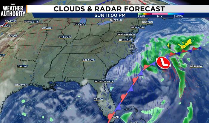 Northeasterly flow brings coastal hazards including tidal flooding
JACKSONVILLE, Fla. – A strong area of low pressure will continue to usher in cooler temperatures and windy conditions. The rest of the day will feature a cloudy sky along the coast, more sunshine away from the coast…
-
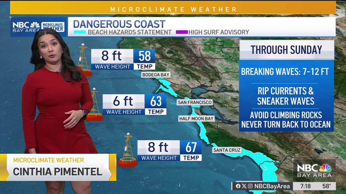 Bay Area Forecast: Beach hazards, cooling trend begins
NBC Bay Area Bay Area Forecast: Beach hazards, cooling trend begins
-
 Cool Fall-Like Temperatures Expected This Week
A low-pressure system is expected to reach the coast by Tuesday evening, bringing rain to Southern California • 1 hour ago Southern Californians will finally get a break from heat waves, with cooler, fall-like…
-
 San Diego's Weather Forecast for October 19, 2026: Cooling off with rain mid to late this week
A Beach Hazards Statement has been extended until 11pm Tuesday for waves of 3 to 8 feet and strong rip currents. A cold Pacific storm will bring a slight chance of sprinkles to a stray shower over the mountains by…
-
 Rain, possible thunderstorms forecast for Kern River Valley; snow expected in high Sierra
Rain and cooler temperatures are expected in the Kern River Valley Wednesday and Thursday as a storm moves through the region. Snow is forecast at higher elevations of the Sierra Nevada, where travel could become…
-
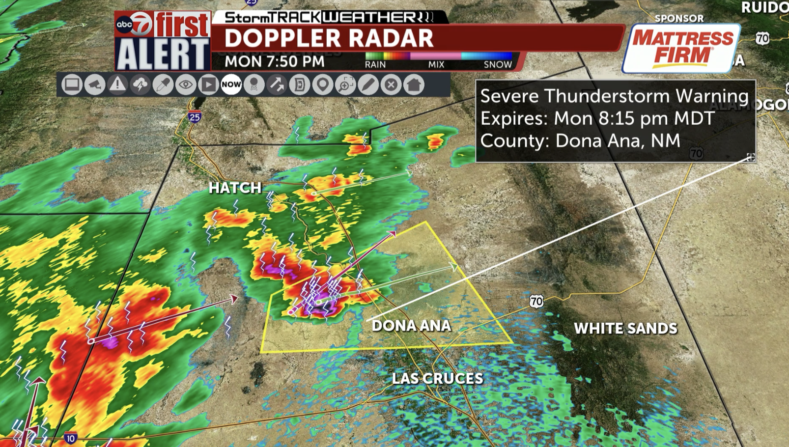 ABC-7 FIRST ALERT: Severe Thunderstorm Warning for Central Dona Ana County including Dona Ana and Radium Springs until 8:15 PM; 60 mph winds and quarter-sized hail are possible
KVIA The National Weather Service has issued a Severe Thunderstorm Warning for Dona Ana County including Dona Ana and Radium Springs until 8:15 PM. The main hazards are 60 mph winds and quarter-sized hail! Jump to…
- Super Typhoon Champi enters PAR, prompts Signal No. 1 in five areas — PAGASA
Super Typhoon Champi has entered the Philippine Area of Responsibility (PAR), prompting the hoisting of storm signal No. 1 over five areas in Luzon, with potentially life-threatening winds, according to the Philippine…
-
 First Alert Weather: Lovely Afternoons and Cool Nights Continue This Week
First Alert Weather: Skies Remain Clear Until Slight Change Expected for This Weekend WCJB GAINESVILLE, Fla. (WCJB) - Last week’s front left us with cool and dry Fall weather! But we may have a chance of showers in the…
-
 Slow-moving nor'easter to spread gusty winds, coastal flooding to Northeast this week
A slow-moving storm traveling northward along the East Coast this week will pack strong winds and some rain around its core. As the center of the storm gradually migrates from off the coast of the Carolinas on Monday to…
Air quality
Air quality is satisfactory, and air pollution poses little or no risk.
Hazard, KY reporting area · 1 hr ago. Data from AirNow (EPA and its state, local and tribal partners); preliminary and subject to change.
Sun & moon
Almanac
MonthlyQuicksand, records since 1925. Normals 1991–2020. Data from NOAA's Regional Climate Centers (ACIS).
Nearby
- Big Stone Gap 57 km
- Prestonsburg 59 km
- Jackson 38 km
- Cumberland 35 km
- Jenkins 51 km
- Whitesburg 36 km
Forecasters' discussion
From the National Weather Service office in JKL, issued 2 hrs ago
Key Messages
- Dry weather with mainly clear skies, mild days, and chilly nights will persist into early next week.
- Light, patchy frost may develop overnight and again late Wednesday night in sheltered valleys away from lakes, rivers, and larger creeks.
Update
Issued at 1103 PM EDT TUE OCT 20 2026
Ridge temperatures are running notably milder than valleys (about a 15 deg F spread currently), and based on MOS guidance and obs from last night, have raised the min temp forecast for ridges just a bit.
Long Term
(Thursday through Tuesday) Issued at 158 PM EDT TUE OCT 20 2026
Tranquil weather looks to continue through the long term period, and with a fairly stagnant pattern in place, weather will change very little from day to day. Aloft, a closed low will initially be located off the coast of the Northeast, with midlevel troughing over the eastern US; meanwhile, a strong and expansive ridge will sit over the central CONUS. Over the course of the period, this trough will gradually break down, allowing the ridge to expand eastward closer to our area, though eastern Kentucky still looks to be under the influence of ridging through early next week. Thus, at the surface, models are in good agreement that high pressure will dominate, keeping weather uneventful through the forecast period. With such a dry air mass in place, even clouds will be hard to come by through Saturday. Thus, expect plenty of sunshine and high temperatures near average in the upper 60s and low 70s. Each night, clear skies and a weak pressure gradient will favor the development of ridge valley temperatures splits, accompanied by typical valley fog. MOS guidance suggests that lows will fall into the upper 30s in sheltered valleys and the low 40s in most other locations, and this seems reasonable given this pattern.
By early next week, a few clouds do look to return, associated with increasing atmospheric moisture as the ridge expands eastward and midlevel flow shifts from northerly to westerly. North of the area, a trough will attempt to dig into the Midwest; however, our persistent ridge will prevent this trough from pushing into our area, even as it flattens a bit. At the surface, an area of low pressure associated with this trough will translate east into Quebec, with a cold front extending through the Great Lakes region. However, given the upper level pattern and persistent surface high pressure, this front is not expected to make it into Kentucky by the end of the period. Model spread does increase by Tuesday, with some disagreement regarding how quickly the ridge breaks down. Even so, the most favored outcome at this time is yet another pleasant fall day, with PoPs only peaking in the very low single digits.
Aviation
(For the 00Z TAFS through 00Z Wednesday evening) ISSUED AT 722 PM EDT TUE OCT 20 2026
Fog will bring IFR or worse conditions in many valley locations overnight and early Wednesday, but it is not forecast to affect TAF sites. Otherwise, VFR conditions with clear skies and light winds will prevail.
Forecasts, observations and alerts in the United States come from the National Weather Service (NOAA); radar from NOAA's Multi-Radar Multi-Sensor system; satellite imagery from NASA's Global Imagery Browse Services (GIBS) and NOAA's GOES satellites; the map from the U.S. Geological Survey's National Map; air quality from AirNow (EPA and its partners); hurricane information from the National Hurricane Center; climate normals and records from NOAA's Regional Climate Centers (ACIS). Forecasts outside the United States and the UV index: MET Norway (CC BY 4.0); observations outside the U.S.: airport reports via NOAA's Aviation Weather Center. Place names: GeoNames (CC BY 4.0). Data are copied on a schedule and may lag the sources; for warnings that affect your safety, follow your local National Weather Service office and emergency officials. Weather news is drawn from the 4Search index and reflects what the press published. Terms of use.