Install
Russell, KS Weather
Current conditions
Observed at Russell, Russell Municipal Airport · 1 hr ago
Forecast
10-day-
Sunday Night
A chance of rain showers before 7pm, then a chance of showers and thunderstorms. Mostly cloudy, with a low around 54. Chance of precipitation is 40%.
-
Monday
Rain showers likely. Mostly cloudy, with a high near 65. Chance of precipitation is 70%.
-
Monday Night
A chance of rain showers. Mostly cloudy, with a low around 48. Chance of precipitation is 50%.
National Weather Service forecast updated 3 days ago.
Hourly
Hourly forecast- Now58°43%
- 3 AM57°43%
- 4 AM56°43%
- 5 AM55°43%
- 6 AM54°43%
- 7 AM54°66%
- 8 AM55°66%
- 9 AM57°66%
- 10 AM58°66%
- 11 AM60°66%
- 12 PM62°66%
- 1 PM64°53%
- 2 PM64°53%
- 3 PM63°53%
- 4 PM62°53%
- 5 PM61°53%
- 6 PM60°53%
- 7 PM59°36%
- 8 PM57°36%
- 9 PM56°36%
- 10 PM54°36%
- 11 PM53°36%
- Tue12 AM53°36%
- 1 AM52°40%
10-day forecast
Details- TonightOct 22Partly Cloudy59°
- FriOct 23Mostly Sunny60°78°
- SatOct 24Partly Sunny53°77°
- SunOct 25Chance Rain Showers43%54°72°
- TodayOct 26Rain Showers Likely66%48°65°
- TueOct 27Chance Rain Showers40%48°61°
- WedOct 28Slight Chance Rain Showers then Mostly Sunny16%46°65°
- ThuOct 29Mostly Sunny64°
- FriOct 30Partly cloudy38°61°
- SatOct 31Cloudy45°65°
Days after the National Weather Service's seven are MET Norway's outlook, a computer model with no forecaster's review.
Radar
Full mapWeather news near Russell
More weather news-
 First Hard Freeze and Frost Warnings Threaten Kansas and Southeast Nebraska
The Sunflower State Radio Network First Hard Freeze and Frost Warnings Threaten Kansas and Southeast Nebraska The first widespread autumn freeze is knocking on the door. The National Weather Service has issued a cascade…
-
 Your News Now Friday Morning Forecast: October 16, 2026
WLIO Cloudy, cold, and a bit drizzly to start off our Friday and that isn’t going to change any time soon as we expect even more rain into the evening. Temperatures will stay on the cooler side through the weekend with…
-
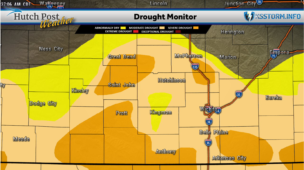 Kansas heat continues as south-central rainfall deficit persists
Kansas recorded temperatures 14 degrees above normal during the week ending Oct. 13, while rainfall fell well short of average, according to the latest Kansas Climate Report and Drought Update. South-central Kansas was…
-
 Temperatures to hit 22C before dropping with overnight frost forecast at weekend
Temperatures could hit 22C in parts of the country before dropping with overnight rural frost forecast at the weekend, the Met Office has said. Unseasonably warm temperatures in the early 20s are forecast on Thursday…
-
 Ardmore woman makes her debut on the OKC Thunder team
Headline: Flood Watch until THU 1:00 PM CDT Headline: Severe Thunderstorm Watch until WED 11:00 PM CDT Bulletin: SEVERE THUNDERSTORM WATCH 685 REMAINS IN EFFECT UNTIL 1100 PM CDT FOR THE FOLLOWING LOCATIONS OK…
- Your News Now Wednesday Morning Forecast: October 14, 2026
Starting off our Wednesday on a sunny note, but that won’t be the case forever as clouds will start rolling into our area through the afternoon. We should manage to stay dry today but storms could hit West Central Ohio…
-
 Brits brace for heavy rain and 70mph gales as remnants of Hurricane Isaias to batter UK this week
BRITS are bracing as the remnants of Hurricane Isaias are set to bring downpours and 70mph gales this week. The Atlantic hurricane hit the US last Friday and a powerful jet stream has whisked its leftovers across the…
- Your News Now Tuesday Morning Forecast: October 13, 2026
WLIO Another and warm day as we head through the work week but it won’t stay like that forever - we’re expecting showers and a cool down over the next few days. Things should be quite cold for the weekend, even a chance…
-
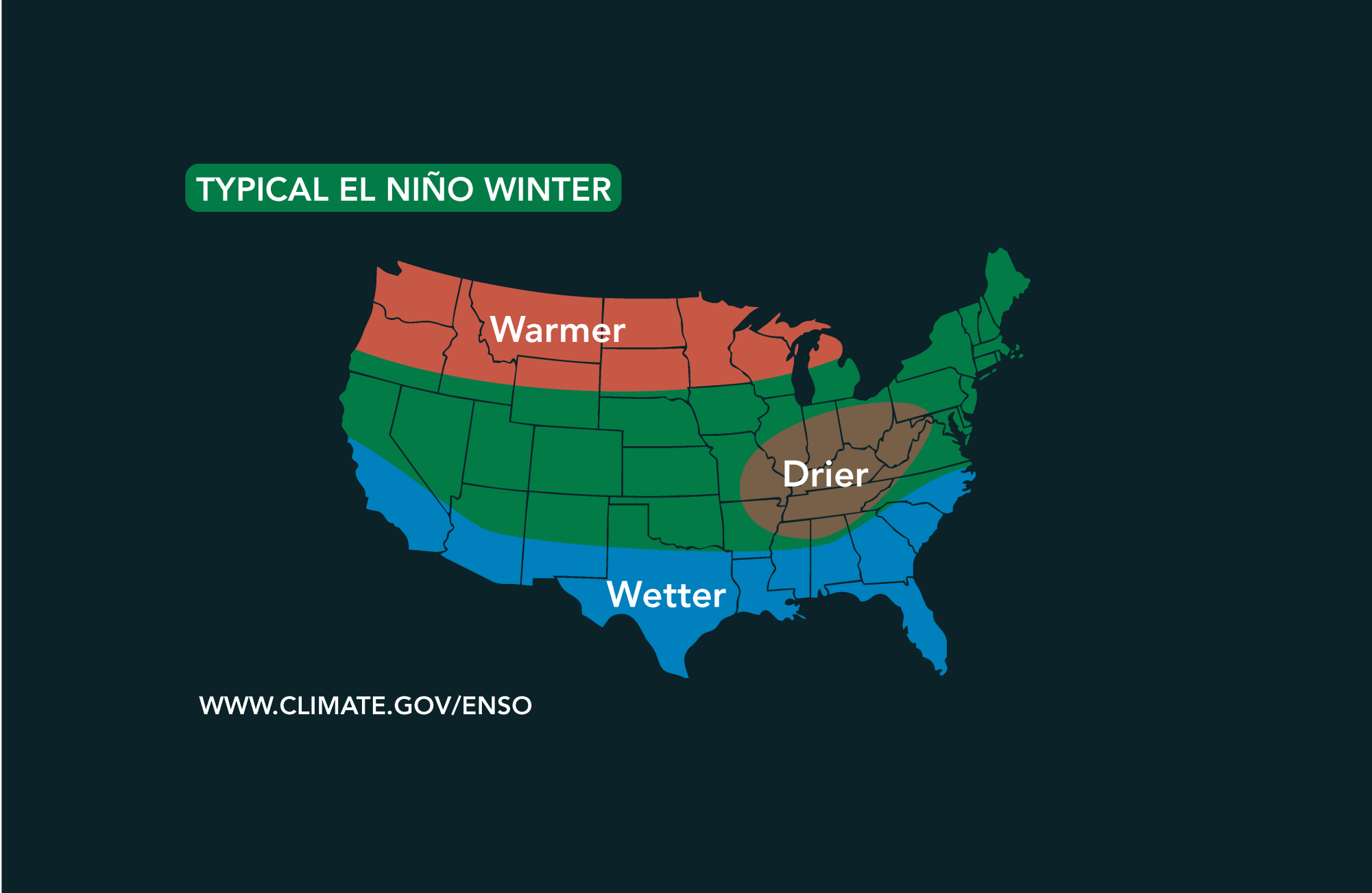 Potential El Niño to affect Kansas agriculture
Student critically injured after falling 70 feet in effort to avoid incoming vehicle • 2338 views College of Arts and Sciences to face future budget cuts • 2090 views K-State President Richard Linton to leave Wildcats…
-
 #Drought news October 22, 2026: Improvements occurred across portions of #Kansas, #Nebraska, #Colorado, #Wyoming, #Utah, #Arizona and #NewMexico
Drought news October 22, 2026: Improvements occurred across portions of #Kansas, #Nebraska, #Colorado, #Wyoming, #Utah, #Arizona and #NewMexico coyotegulch.blog Click on a thumbnail graphic to view a gallery of drought…
Air quality
Air quality is satisfactory, and air pollution poses little or no risk.
Cedar Bluff, KS reporting area · 1 hr ago. Data from AirNow (EPA and its state, local and tribal partners); preliminary and subject to change.
Sun & moon
Almanac
MonthlyRussell Municipal Ap, records since 1949. Normals 1991–2020. Data from NOAA's Regional Climate Centers (ACIS).
Nearby
- Hays 40 km
- Great Bend 60 km
- Ellsworth 58 km
- Hoisington 43 km
Forecasters' discussion
From the National Weather Service office in ICT, issued 3 hrs ago
Key Messages
- Above average temperatures are forecast through the upcoming week.
- Rain chances possible late this afternoon through Monday in central KS with chances increasing in south-central Monday night through Tuesday morning.
- Additional rain chances likely late week into next weekend.
Discussion
Issued at 223 PM CDT Sun Oct 25 2026
An upper level trough is currently over the Central Great Basin and Southwest US with upper ridging over the Middle and Lower Mississippi Valley and into the Ohio and Tennessee Valley. An upper low is digging off the coast of the Pacific Northwest. At the surface, a front extends from the Great Lakes through central Iowa and into central Kansas. Scattered showers are ongoing in western Kansas in an area of 850-700mb WAA. This activity will continue to move north-northeast late this afternoon through tonight, affecting central KS. Precipitable water values in this airmass are up to 1.25", leading to effective rain showers. Thunderstorms look to be unlikely as guidance suggests instability values generally under 150 J/kg, though a few claps of thunder cannot be ruled out. Minimal impacts are expected with up to 0.5 inches possible mainly in Russell and Barton counties.
By Monday morning, the upper trough over the Central Great Basin will propagate into the Central Rockies and then into the Central Plains by late Monday afternoon. This will keep rain chances possible in central KS from Monday morning through the afternoon with chances increasing in south-central KS Monday night into Tuesday morning especially as another weak shortwave trough lifts north from Texas. Severe weather is not anticipated with any of this activity given the lack of instability. For temperatures, highs will continue to be above normal with readings in the lower 70s in central KS to the upper 70s in southeast KS on Monday afternoon. For Tuesday afternoon, highs in the lower 70s are expected across the area.
By mid week, well above normal temperatures will return with highs in the upper 70s to near 80 from Wednesday to Friday. Lows are forecast to be in the upper 50s to lower 60s on Wednesday and Thursday night. Additional rain chances may be possible on Wednesday night and Thursday night as 700mb WAA persists across the area. Rain chances will increase areawide on Friday and into the weekend as another upper wave slides across the region. Stay tuned as we continue to refine this forecast.
Aviation
Issued at 1128 PM CDT Sun Oct 25 2026
Low clouds and poor visibilities will affect KRSL site for a few hours during the overnight period. Otherwise a slow moving cold front will sag a little further south across central Kansas tonight with light northerly winds. The winds will switch back around to the south during the day as the front lifts back north on Monday. Rest of the region will see VFR conditions with light south winds and only some high clouds floating overhead.
Ict Watches
None.
Forecasts, observations and alerts in the United States come from the National Weather Service (NOAA); radar from NOAA's Multi-Radar Multi-Sensor system; satellite imagery from NASA's Global Imagery Browse Services (GIBS) and NOAA's GOES satellites; the map from the U.S. Geological Survey's National Map; air quality from AirNow (EPA and its partners); hurricane information from the National Hurricane Center; climate normals and records from NOAA's Regional Climate Centers (ACIS). Forecasts outside the United States and the UV index: MET Norway (CC BY 4.0); observations outside the U.S.: airport reports via NOAA's Aviation Weather Center. Place names: GeoNames (CC BY 4.0). Data are copied on a schedule and may lag the sources; for warnings that affect your safety, follow your local National Weather Service office and emergency officials. Weather news is drawn from the 4Search index and reflects what the press published. Terms of use. How to use Weather