Install
Mitchell, IN Weather
Current conditions
Observed at Daviess County Airport · 53 min ago
Forecast
10-day-
This Afternoon
Sunny, with a high near 70. Northeast wind around 3 mph.
-
Tonight
Clear. Low around 42, with temperatures rising to around 44 overnight. Northeast wind around 2 mph.
-
Wednesday
Sunny, with a high near 71. North northeast wind around 2 mph.
National Weather Service forecast updated 2 hrs ago.
Hourly
Hourly forecast- Now67°
- 3 PM68°
- 4 PM70°
- 5 PM70°
- 6 PM68°
- 7 PM65°
- 8 PM61°
- 9 PM56°
- 10 PM54°
- 11 PM52°
- Wed12 AM51°
- 1 AM48°
- 2 AM48°
- 3 AM46°
- 4 AM46°
- 5 AM44°
- 6 AM43°
- 7 AM42°
- 8 AM42°
- 9 AM44°
- 10 AM50°
- 11 AM57°
- 12 PM62°
- 1 PM66°
10-day forecast
Details- TodayOct 20Sunny42°70°
- WedOct 21Sunny43°71°
- ThuOct 22Sunny44°71°
- FriOct 23Sunny43°69°
- SatOct 24Sunny44°70°
- SunOct 25Mostly Sunny46°73°
- MonOct 26Mostly Sunny47°71°
- TueOct 27Cloudy51°65°
- WedOct 28Cloudy49°64°
- ThuOct 29Cloudy47°63°
Days after the National Weather Service's seven are MET Norway's outlook, a computer model with no forecaster's review.
Radar
Full mapWeather news near Mitchell
More weather news-
 First Snow of the Season Falls on Blue Ridge Parkway, Mt. Mitchell
Snow returned to the High Country’s highest elevations Saturday, Oct. 17, with the first flakes of the season falling along the Blue Ridge Parkway and on Mt. Mitchell. Andrea Crouch shot video Saturday morning, Oct. 17…
-
 WATCH: Snow spotted in Yancey County, North Carolina
Forty- to thirty-degree temperatures are expected across the Carolinas. YANCEY COUNTY, N.C. (FOX Carolina) - Officials with the National Weather Service said snow has been spotted in North Carolina. A video provided by…
-
 Freeze Warning Issued for Watauga, Ashe and Avery Counties Late Saturday Night Into Sunday Morning
A Freeze Warning is in effect from 1 AM to 9 AM Sunday, Oct. 18, for Watauga, Ashe and Avery counties, with lows as low as the upper 20s to lower 30s expected. The National Weather Service says frost and freeze…
-
 First freeze of fall expected in western North Carolina mountains Sunday morning
A Frost Advisory is in effect Sunday morning from 1 AM to 9 AM for the southern NC mountains, eastern foothills, Upstate SC, and NE Georgia. A Freeze Warning is in effect Sunday morning from 1 AM to 9 AM for counties…
-
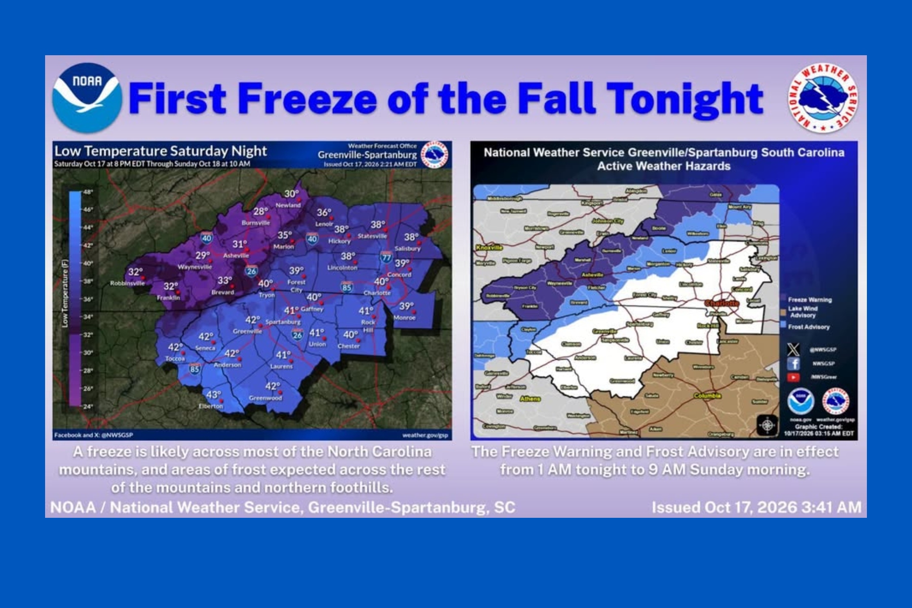 First snow falls in NC mountains as freeze warning looms
Mount Mitchell sees snow as temperatures plunge across Western North Carolina ASHEVILLE, N.C. (828newsNOW) — Fall colors are still hanging on in the North Carolina mountains, but winter made an early appearance Saturday…
-
 October 17th Morning Weather Update
cbs19news.com : Freeze Warning from SUN 1:00 AM EDT until SUN 9:00 AM EDT Headline: Freeze Warning from SUN 1:00 AM EDT until SUN 9:00 AM EDT October 17th Morning Weather Update - 15 vintage dishes that made my family’s…
-
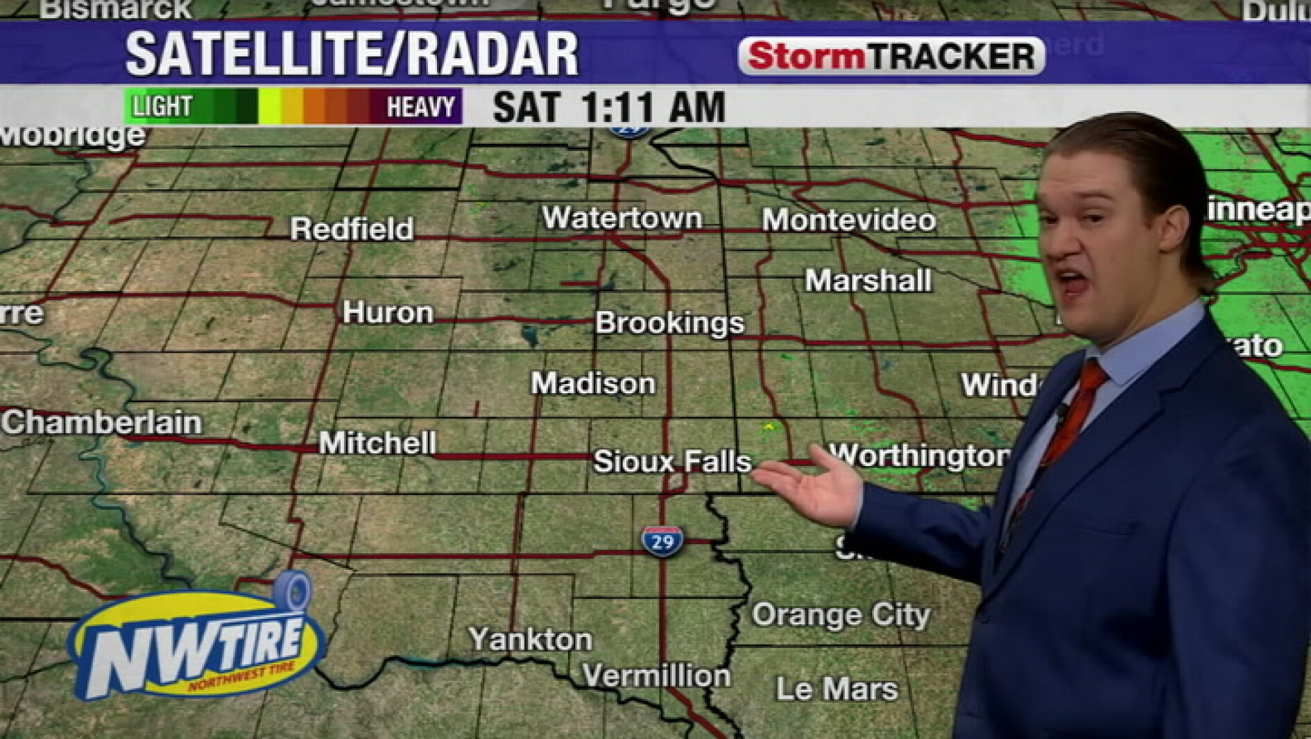 Chilly this morning with clear skies around the Sioux Falls area
Mitchell Daily Republic
-
 Maritime weather forecast for Oct. 16
CTV News Maritime weather forecast for Oct. 16 Kalin Mitchell shares the Maritime weather forecast for Oct. 16.
- Freeze warning in place for Western North Carolina for Sunday
At 1:21 a.m. on Saturday, the NWS Greenville-Spartanburg SC released a freeze warning valid for Sunday between 1 a.m. and 9 a.m. The warning is for Northern Jackson and Southern Jackson as well as Avery, Madison…
-
 Maritimers swap rain jackets for sweaters this weekend
CTV News Maritimers swap rain jackets for sweaters this weekend CTV meteorologist Kalin Mitchell goes over a rainy and gusty Friday night for New Brunswick, Nova Scotia, and Prince Edward Island.
Air quality
Air quality is satisfactory, and air pollution poses little or no risk.
Bloomington, IN reporting area · 1 hr ago. Data from AirNow (EPA and its state, local and tribal partners); preliminary and subject to change.
Sun & moon
Nearby
- Bloomington 48 km
- Seymour 56 km
- Jasper 55 km
- Bedford 14 km
- Ellettsville 57 km
- Salem 35 km
- Austin 58 km
- Paoli 20 km
- Smithville-Sanders 36 km
- Brownstown 41 km
- Loogootee 39 km
- Bloomfield 52 km
Forecasters' discussion
From the National Weather Service office in IND, issued 4 hrs ago
Key Messages
- Dry yet pleasant fall weather will prevail through this weekend
- Light winds and partly/mostly clear skies will oversee near to slightly above normal temperatures
Forecast Update
Issued at 954 AM EDT Tue Oct 20 2026
Expect quiet weather today as surface high pressure remains in control across the region. Predominately easterly surface flow will result in negligible thermal advection, keeping temperatures almost identical to yesterday. Look for highs in the upper 60s to lower 70s under mostly sunny skies. Latest satellite imagery does depicts some high clouds pushing through central Indiana this morning from a subtle impulse aloft. These clouds will continue moving eastward with sunny skies expected later today.
Ind Watches
None.
Forecasts, observations and alerts in the United States come from the National Weather Service (NOAA); radar from NOAA's Multi-Radar Multi-Sensor system; satellite imagery from NASA's Global Imagery Browse Services (GIBS) and NOAA's GOES satellites; the map from the U.S. Geological Survey's National Map; air quality from AirNow (EPA and its partners); hurricane information from the National Hurricane Center; climate normals and records from NOAA's Regional Climate Centers (ACIS). Forecasts outside the United States and the UV index: MET Norway (CC BY 4.0); observations outside the U.S.: airport reports via NOAA's Aviation Weather Center. Place names: GeoNames (CC BY 4.0). Data are copied on a schedule and may lag the sources; for warnings that affect your safety, follow your local National Weather Service office and emergency officials. Weather news is drawn from the 4Search index and reflects what the press published. Terms of use.