Install
Garrett, IN Weather
Current conditions
Forecast for this hour (no station report in the last two hours)
Forecast
10-day-
This Afternoon
Sunny, with a high near 69. North wind around 5 mph.
-
Tonight
Clear, with a low around 43. Northeast wind around 0 mph.
-
Friday
Patchy fog between 7am and 10am. Mostly sunny, with a high near 68. East wind 0 to 5 mph.
National Weather Service forecast updated 1 hr ago.
Hourly
Hourly forecast- Now69°
- 5 PM69°
- 6 PM67°
- 7 PM63°
- 8 PM59°
- 9 PM53°
- 10 PM51°
- 11 PM50°
- Fri12 AM48°
- 1 AM47°
- 2 AM47°
- 3 AM46°
- 4 AM45°
- 5 AM44°
- 6 AM44°
- 7 AM43°
- 8 AM43°
- 9 AM45°
- 10 AM52°
- 11 AM57°
- 12 PM61°
- 1 PM63°
- 2 PM66°
- 3 PM67°
10-day forecast
Details- TodayOct 22Sunny43°69°
- FriOct 23Patchy Fog then Mostly Sunny44°68°
- SatOct 24Sunny43°68°
- SunOct 25Mostly Sunny46°71°
- MonOct 26Partly Sunny45°70°
- TueOct 27Partly Sunny43°63°
- WedOct 28Partly Sunny12%45°64°
- ThuOct 29Rain0.07 in44°59°
- FriOct 30Partly cloudy34°49°
- SatOct 31Sunny31°54°
Days after the National Weather Service's seven are MET Norway's outlook, a computer model with no forecaster's review.
Radar
Full mapWeather news near Garrett
More weather news-
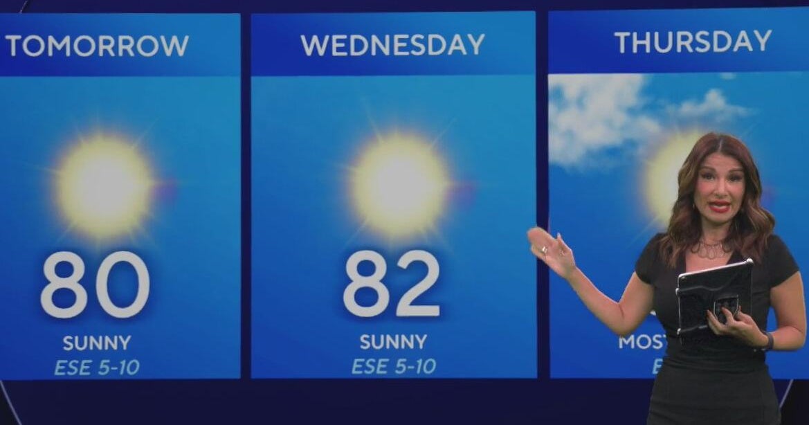 Beautiful stretch of weather continues across North Texas
The Takeout with Major Garrett CBS News Chicago 4pm CBS News Detroit 5pm CBS News Miami 5pm The 4 from WCCO News CBS News New York 5pm CBS News Philadelphia 5pm CBS News Texas at 4pm
-
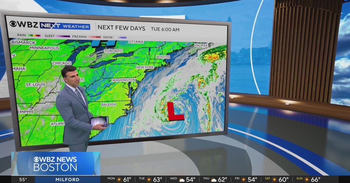 Next Weather: WBZ evening forecast for October 19, 2026
The Takeout with Major Garrett CBS News Chicago 4pm CBS News Detroit 5pm CBS News Miami 5pm The 4 from WCCO News CBS News New York 5pm CBS News Philadelphia 5pm CBS News Texas at 4pm
-
 Dangerous Freeze Warnings for 38 Counties in Indiana as Temperatures Plummet
Freeze Warnings are in effect for 38 counties in Indiana from early Sunday morning, with lows as cold as 30 degrees expected. The warnings cover central, northern, east central and southeast Indiana. Three National…
-
 First Alert Forecast: Frost possible overnight into Sunday morning
WPTA | 21Alive | Fort Wayne, IN FORT WAYNE, Ind. (WPTA) - A freeze warning has been issued for the entirety of 21Country Saturday night into Sunday morning. Low temperatures near or just below freezing are expected as…
-
 First Alert Forecast: More Sunshine, Frost Potential Sunday
WPTA | 21Alive | Fort Wayne, IN FORT WAYNE, Ind. (WPTA) - An all-around gloomy Friday gives way to a crisp fall weekend across 21Country. In the wake of a low pressure system that brought overcast skies and wind gusts…
-
 Dangerous Freeze Watch for Parts of Indiana and Michigan as Temperatures Drop
A Freeze Watch is in effect for northern, east central and southeast Indiana from late Saturday night through Sunday morning, with lows as cold as 31 degrees possible. A Frost Advisory comes first, for parts of northern…
- First Alert Forecast: Wind continues overnight with rapidly dropping temperatures
WPTA | 21Alive | Fort Wayne, IN FORT WAYNE, Ind. (WPTA) - Tonight will be the most fall-like night of the season so far! Scattered lake-effect rain showers will come to an end by mid-evening, followed by clearing skies…
-
 10-16-26 PM Forecast with Chief Meteorologist Matt Leach
WPTA | 21Alive | Fort Wayne, IN 10-16-26 PM Forecast with Chief Meteorologist Matt Leach Michael Moranelli's Friday Morning Forecast | October 16, 2026 10-15-26 PM Forecast with Chief Meteorologist Matt Leach Michael…
-
 Severe thunderstorm watch issued for most of Maryland
A severe thunderstorm watch is in effect until 8 p.m. Friday for the Baltimore-Washington region, according to the National Weather Service. Damaging winds are the main threat, and a brief tornado is possible…
-
 Michael Moranelli's Friday Morning Forecast | October 16, 2026
WPTA | 21Alive | Fort Wayne, IN Michael Moranelli's Friday Morning Forecast | October 16, 2026 10-15-26 PM Forecast with Chief Meteorologist Matt Leach Michael Moranelli's Thursday Morning Forecast | October 15, 2026…
Air quality
Air quality is satisfactory, and air pollution poses little or no risk.
Forecast
- ThuModerate
- FriModerate
Fort Wayne, IN reporting area · 1 hr ago. Data from AirNow (EPA and its state, local and tribal partners); preliminary and subject to change.
Sun & moon
Almanac
MonthlyGarrett, records since 2005. Normals 1991–2020. Data from NOAA's Regional Climate Centers (ACIS).
Nearby
- Fort Wayne 24 km
- New Haven 33 km
- Auburn 7 km
- Sturgis 55 km
- Kendallville 15 km
- Columbia City 36 km
- Angola 34 km
- Bryan 51 km
- Huntertown 14 km
- Winona Lake 59 km
- Ligonier 40 km
- Montpelier 51 km
Forecasts, observations and alerts in the United States come from the National Weather Service (NOAA); radar from NOAA's Multi-Radar Multi-Sensor system; satellite imagery from NASA's Global Imagery Browse Services (GIBS) and NOAA's GOES satellites; the map from the U.S. Geological Survey's National Map; air quality from AirNow (EPA and its partners); hurricane information from the National Hurricane Center; climate normals and records from NOAA's Regional Climate Centers (ACIS). Forecasts outside the United States and the UV index: MET Norway (CC BY 4.0); observations outside the U.S.: airport reports via NOAA's Aviation Weather Center. Place names: GeoNames (CC BY 4.0). Data are copied on a schedule and may lag the sources; for warnings that affect your safety, follow your local National Weather Service office and emergency officials. Weather news is drawn from the 4Search index and reflects what the press published. Terms of use.