Install
Soda Springs, ID Weather
Current conditions
Forecast for this hour (no station report in the last two hours)
Forecast
10-day-
Sunday Night
Mostly clear, with a low around 27.
-
Monday
Sunny, with a high near 54.
-
Monday Night
A slight chance of rain after midnight. Partly cloudy, with a low around 28. Chance of precipitation is 20%.
National Weather Service forecast updated 3 days ago.
Hourly
Hourly forecast- Now46°
- 8 PM43°
- 9 PM40°
- 10 PM38°
- 11 PM36°
- Mon12 AM35°
- 1 AM33°
- 2 AM32°
- 3 AM31°
- 4 AM30°
- 5 AM30°
- 6 AM30°
- 7 AM30°
- 8 AM32°
- 9 AM34°
- 10 AM39°
- 11 AM44°
- 12 PM49°
- 1 PM52°
- 2 PM54°
- 3 PM54°
- 4 PM54°
- 5 PM53°
- 6 PM51°
10-day forecast
Details- TonightOct 22Slight Chance Showers And Thunderstorms then Showers And Thunderstorms100%37°
- FriOct 23Light Rain90%29°46°
- SatOct 24Mostly Sunny26°49°
- TodayOct 25Sunny27°52°
- MonOct 26Sunny24%28°54°
- TueOct 27Chance Light Rain28%26°50°
- WedOct 28Mostly Sunny28°50°
- ThuOct 29Mostly Sunny10%54°
- FriOct 30Sunny27°51°
- SatOct 31Partly cloudy32°53°
Days after the National Weather Service's seven are MET Norway's outlook, a computer model with no forecaster's review.
Radar
Full mapWeather news in Idaho
More weather news-
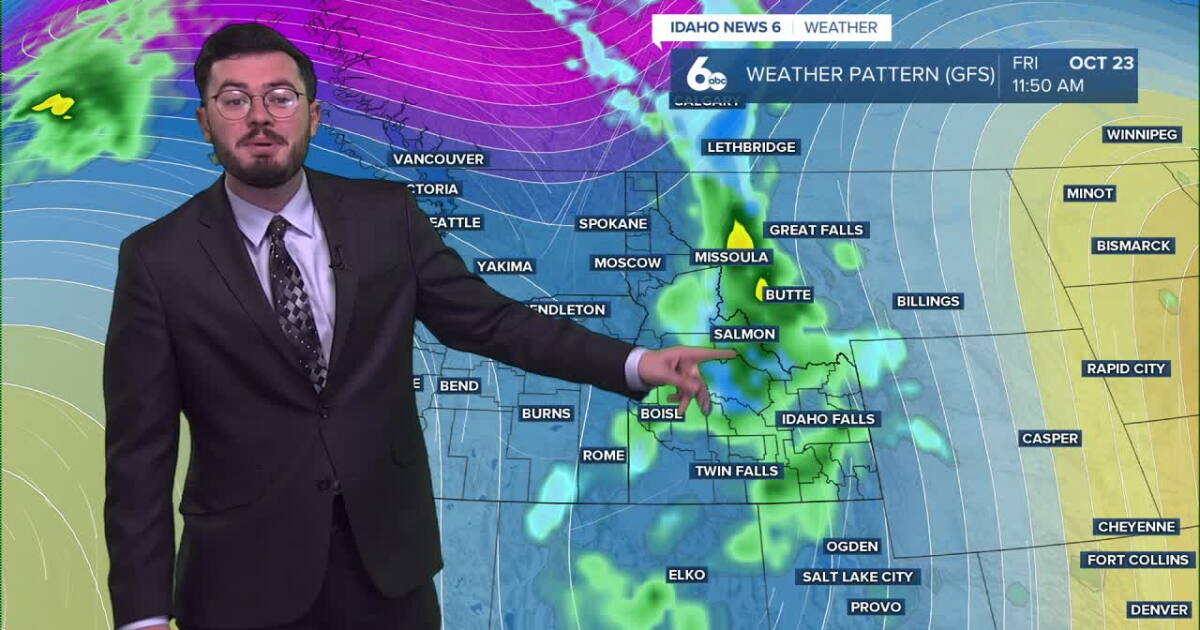 Nearly an inch of rain set to fall in parts of Idaho
After a dry spell in the gem state, showers and thunderstorms are set to roll in Thursday followed by a major cool down. Active weather is about to move into Idaho soon. Rain moving in from the south will bring nearly…
-
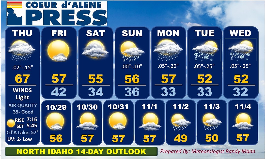 North Idaho 14-Day Weather Forecast
Coeur d'Alene Press North Idaho 14-Day Weather Forecast
-
 Soaking rain then a big cooldown for Idaho
Enjoy the mild temperatures while they last because a major change in our weather arrives Thursday. A storm system moving northeast from California and Nevada will pull moisture into Southwest Idaho overnight. A few…
-
 Gina Miller - Idaho Falls
KPVI There was a problem reporting this. Keep it Clean. Please avoid obscene, vulgar, lewd, racist or sexually-oriented language. Gina Miller - Idaho Falls Doug Iverson's Storm Tracker Forecast | Tuesday, October 20…
-
 Scott Dorval's Idaho News 6 Forecast - 10/20/26
KIVI-TV Scott Dorval's Idaho News 6 Forecast - 10/20/26
-
 Soaking rain on the way before a big temperature drop in Southwest Idaho
Enjoy Wednesday's warmth because a significant change in our weather arrives later this week. Wednesday stays mainly dry and unseasonably warm across the Treasure Valley, with Boise climbing to around 76 degrees. Clouds…
-
 Idaho Transportation Department prepares snowplows ahead of winter season
TWIN FALLS, Idaho (KMVT/KSVT) — Idaho Transportation Department crews are preparing snowplows before snow and ice cover roads this winter. Maintenance Foreman Chuck Sharp said crews check equipment and assemble plows…
-
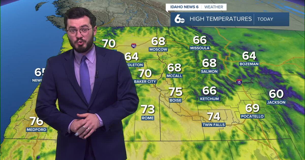 Thunderstorms expected to roll into Idaho soon
Idaho will continue to enjoy nice skies and above average temperatures but further in the week, storms are set to roll in. Clear and pretty mild weather is on the way for our Tuesday with temperatures peaking in the mid…
Air quality
Air quality is satisfactory, and air pollution poses little or no risk.
Forecast
- SunGood (30)
- MonGood (30)
- TueGood (30)
Pocatello, ID reporting area · 1 hr ago. Data from AirNow (EPA and its state, local and tribal partners); preliminary and subject to change.
Sun & moon
Nearby
- Conda 10 km
- Montpelier 45 km
Forecasters' discussion
From the National Weather Service office in PIH, issued 6 hrs ago
Key Messages
- Dry weather today, patchy fog overnight tonight.
- Next system arrives Monday night into Tuesday.
- Breezy conditions Monday into Tuesday.
Discussion
Issued at 118 PM MDT Sun Oct 25 2026
High pressure remains positioned over the region today, maintaining dry and quiet conditions into early Monday. Patchy fog developed early this morning and is expected to redevelop tonight into Monday morning under light winds and limited mixing. While locally dense fog occurred earlier today, high- resolution ensemble guidance indicates low confidence in widespread dense fog, with less than a 20% probability of visibilities dropping below 3 miles.
Attention quickly shifts to a fast-moving, relatively shallow Pacific trough dropping into the Pacific Northwest on Monday. Ahead of the boundary, breezy southwest-to-west winds will develop Monday afternoon before precipitation spreads into the central mountains late in the day. Showers will quickly expand across eastern Idaho Monday night as the front pushes through, accompanied by gusty winds. Peak gusts between 30 and 40 mph are anticipated across the Snake River Plain overnight, though winds are expected to remain below Wind Advisory thresholds. QPF guidance remains consistent with previous runs: lower elevations will generally see liquid amounts under 0.10", while mountain zones range from 0.20" to 0.30". The Eastern Magic Valley carries the highest likelihood (>85%) of staying dry, whereas high terrain along the Continental Divide and between I-15 and the Wyoming border has the highest chance (>65%) of exceeding 0.25" liquid. As colder air filters in behind the front, snow levels will fall to around 6,500 feet overnight, yielding 1 to 3 inches of accumulation across mountain passes and peaks, encompassing the vast majority of ensemble spread. While a few stray flakes or a brief rain/snow mix may reach valley floors after midnight, warm surface temperatures will prevent accumulation.
Although the primary shortwave exits rapidly Tuesday afternoon with most lower elevations drying out, eastern Idaho will remain under the influence of a broader trough aloft through midweek. This will support lingering showers across the higher terrain Tuesday afternoon and Wednesday.
Ensemble clusters remain in relatively good agreement regarding the timing and depth of the next Pacific system, despite differences in the shape of the trough along the West Coast. Ensemble means indicate this trough will deepen along the Pacific Northwest coast Thursday into Friday, spreading another round of widespread precipitation, falling temperatures, and high-elevation snow across the region to close the workweek. Given the mean troughing remaining anchored over coastal states, unsettled conditions and scattered shower potential could linger into the upcoming weekend. Precipitation amounts look light at this time. The caveat will be how far off the coast the trough digs, and how much dry southerly flow intrudes into the region before the trough can shift far enough inland.
Aviation
Issued at 1023 AM MDT Sun Oct 25 2026
Pockets of stratus and fog formed this morning with clear skies and little wind. We have seen some impacts at DIJ, PIH, and BYI. While a repeat is possible tonight, percentages are overall too low to include for tonight and tomorrow morning. This likely needs re-evaluating later today. We will see an increase in mid level clouds along and east of I-15 as low pressure lifts across Wyoming, but any chance of showers is minimal at the moment. At the same time, higher level clouds will continue to increase from the west. If we happen to see fog or stratus at any particular TAF site, we will likely see a repeat of IFR to VLIFR conditions.
Fire Weather
Issued at 105 AM MDT Sun Oct 25 2026
Dry weather is likely today. Another round of precipitation will arrive late Monday and Monday night. Gusty winds are likely on Monday.
Forecasts, observations and alerts in the United States come from the National Weather Service (NOAA); radar from NOAA's Multi-Radar Multi-Sensor system; satellite imagery from NASA's Global Imagery Browse Services (GIBS) and NOAA's GOES satellites; the map from the U.S. Geological Survey's National Map; air quality from AirNow (EPA and its partners); hurricane information from the National Hurricane Center; climate normals and records from NOAA's Regional Climate Centers (ACIS). Forecasts outside the United States and the UV index: MET Norway (CC BY 4.0); observations outside the U.S.: airport reports via NOAA's Aviation Weather Center. Place names: GeoNames (CC BY 4.0). Data are copied on a schedule and may lag the sources; for warnings that affect your safety, follow your local National Weather Service office and emergency officials. Weather news is drawn from the 4Search index and reflects what the press published. Terms of use. How to use Weather