Install
Perry, IA Weather
Current conditions
Observed at Perry Municipal Airport · 1 hr ago
Forecast
10-day-
Tonight
Partly cloudy. Low around 47, with temperatures rising to around 49 overnight. South southeast wind around 6 mph.
-
Wednesday
Mostly sunny, with a high near 75. South wind around 5 mph.
-
Wednesday Night
Mostly clear, with a low around 49. South wind around 2 mph.
National Weather Service forecast updated 19 hrs ago.
Hourly
Hourly forecast- Now52°
- 1 AM52°
- 2 AM50°
- 3 AM50°
- 4 AM49°
- 5 AM49°
- 6 AM47°
- 7 AM47°
- 8 AM47°
- 9 AM51°
- 10 AM58°
- 11 AM62°
- 12 PM67°
- 1 PM71°
- 2 PM72°
- 3 PM74°
- 4 PM75°
- 5 PM74°
- 6 PM71°
- 7 PM67°
- 8 PM61°
- 9 PM59°
- 10 PM57°
- 11 PM56°
10-day forecast
Details- TueOct 20Sunny47°72°
- TodayOct 21Mostly Sunny49°75°
- ThuOct 22Sunny53°77°
- FriOct 23Mostly Sunny57°73°
- SatOct 24Partly Sunny17%54°74°
- SunOct 25Partly Sunny16%49°69°
- MonOct 26Slight Chance Rain Showers19%43°63°
- TueOct 27Cloudy43°54°
- WedOct 28Cloudy43°54°
- ThuOct 29Sunny37°53°
Days after the National Weather Service's seven are MET Norway's outlook, a computer model with no forecaster's review.
Radar
Full mapWeather news near Perry
More weather news-
 Cooler temperatures, possible rain headed for Southern California
It’s time to grab those jackets and pull out the umbrellas because cooler temperatures and a chance of rain is on tap for Southern California by the middle of this week, forecasters say. The region could see widespread…
-
 Durham Region’s weather, highway closures and top stories on Oct. 19
Expect sunny skies this morning and closures on Highway 12, Highway 35, Highway 401, Highway 7, Highway 7/12 and Highway 7A Todayâs news, weather and traffic. Happy Monday morning Durham Region! Environment Canada is…
- Durham Region’s weather, highway closures and top stories on Oct. 18
Expect a mainly clear sky this morning and closures on Highway 12, Highway 35, Highway 401, Highway 7, Highway 7/12 and Highway 7A Todayâs news, weather and traffic. Happy Sunday morning Durham Region! Environment…
-
 Meteorologist Hunter Clouser’s Saturday Evening Forecast: October 17th, 2026
WLIO Lima, OH (WLIO) - We’ve got a Freeze Warning out for tomorrow morning as we will likely dip below freezing overnight across the region. But as the high moves out, warmer temperatures come through, but more frost…
-
 FIRST ALERT FORECAST: First frost and potential freeze overnight tonight
WYMT HAZARD, Ky. (WYMT) - The weather has settled down and it is a chilly Saturday for us. The first frost of the season is expected tonight with some even getting in on a light freeze! Lots of sunshine will be with us…
- How U can identify and protect yourself from Great Salt Lake dust storms
With over 50% of the lakebed exposed, researchers warn dust events are becoming more common, exposing Utahns along the Wasatch Front to dangerous airborne pollutants. We asked the professionals how Utahns can prepare…
-
 69 News at 6:00 - Severe thunderstorm watches and GIANT disruption
Mostly cloudy with scattered thunderstorms (some with damaging wind gust potential) through early evening, then brisk and drier as it turns much cooler the rest of the night. . headline: Severe Thunderstorm Warning…
-
 Presidential adviser says Ukraine is in talks to lift speed limit on military satellite network
Mostly cloudy with scattered thunderstorms (some with damaging wind gust potential) through early evening, then brisk and drier as it turns much cooler the rest of the night. . Bulletin: SEVERE THUNDERSTORM WATCH 686…
-
 Community leaders say foiled Illinois mass shooting was result of surge in anti-Hindu hate online
Mostly cloudy with scattered thunderstorms (some with damaging wind gust potential) through early evening, then brisk and drier as it turns much cooler the rest of the night. . Bulletin: SEVERE THUNDERSTORM WATCH 686…
-
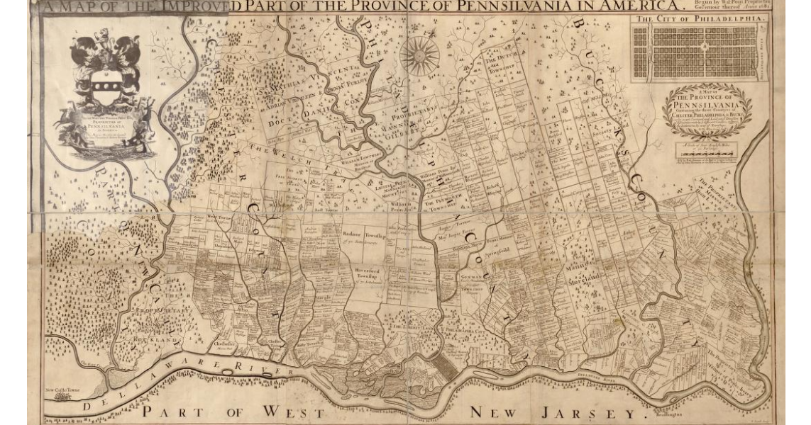 Early map of Pennsylvania from circa 1681
Mostly cloudy with some scattered evening showers; breezy and turning much cooler and less humid overnight. . Bulletin: SEVERE THUNDERSTORM WATCH 686 REMAINS VALID UNTIL 8 PM EDT THIS EVENING FOR THE FOLLOWING AREAS IN…
Air quality
Acceptable. Unusually sensitive people should consider limiting prolonged outdoor exertion.
Forecast
- WedModerate
- ThuModerate
Des Moines, IA reporting area · 1 hr ago. Data from AirNow (EPA and its state, local and tribal partners); preliminary and subject to change.
Sun & moon
Almanac
MonthlyPerry, records since 1900. Normals 1991–2020. Data from NOAA's Regional Climate Centers (ACIS).
Nearby
Forecasters' discussion
From the National Weather Service office in DMX, issued 2 hrs ago
Key Messages
- Seasonably warm temperatures and dry conditions prevail through mid-week. Patchy fog possible in the mornings.
- Breezy conditions develop Friday and Saturday, especially in northern and western Iowa. Rain chances return to the same areas Saturday.
Short Term
Issued at 112 PM CDT Tue Oct 20 2026
The weather in Iowa remains dry and seasonably warm as 500 mb ridging and surface high pressure maintains influence today. Sunny skies prevail through mid-day, although scattered high clouds will begin to spread up into southern Iowa this evening as a subtle shortwave propagates through the upper level ridging. This approaching wave will bring slightly tightened pressure gradients today, causing light to occasionally breezy winds around 10 to 15 mph with gusts up to 20 mph over northwestern Iowa. With the approaching wave, a few deterministic model solutions are depicting some light rain over northern Missouri/southern Iowa early Wednesday morning. However, despite the slightly better saturation in the mid- levels, the low- levels remain quite dry overnight. This will likely limit anything more than a rogue sprinkle from reaching the surface, and therefore the forecast remains dry overnight. By early Wednesday morning, some guidance is hinting at more isolated fog development, but probabilities for less than a mile are low around 30% or less in REFS guidance and only about 10% from the HREF, again favoring northern Iowa.
The status quo continues through Wednesday and Thursday, with warm, dry conditions during the day and efficient cooling during the overnight. NBM temperatures have generally been too muted with the magnitude of the diurnal curve during this pattern, being a few degrees too cold during the days, and too warm overnight. Therefore, have continued pushing temperatures toward the upper end of guidance during the days and lower end of guidance at night through Thursday. The end result is forecast highs in the mid 70s and about 10 to 15 degrees above normal for this time of year (Normal Max Temps: northern Iowa -58F, central Iowa - 61F, southern Iowa - 63F). Lows will generally be in the 40s to 50s, around 10 degrees higher than normal (Normal Min Temps: northern Iowa - 35F, central Iowa - 38F, southern Iowa - 42F). More fog potential is expected Wednesday night into Thursday morning as clear skies and light winds continue under the surface high.
Long Term
Issued at 112 PM CDT Tue Oct 20 2026
Later this week, a 500 mb trough will move into the pacific northwest, dislodging and merging with the west coast cutoff low currently blocking the overall pattern in the US. By Friday, this merged 500 mb trough will push into the western CONUS and attempt to shove the ridge off eastward. However, this ridge becomes sandwiched between the western trough and another southeastern US trough, placing Iowa right along the trough/ridge interaction. The net result for Iowa will be a southwest flow regime aloft, with some increasing moisture in both the low and mid-levels as a result. As energy ejects out of the trough and along the ridge this weekend, Iowa will see a few things result. First, tightened low-level pressure gradients will promote breezy conditions both Friday and Saturday. The breeziest conditions will be over the northern and western parts of the state both days, and could result in some slightly elevated fire weather concerns over far northwest Iowa.
Precipitation chances also make a return this weekend, as a cold front is pulled into the state by the surface low passing to our north. Iowa will be fairly well removed from the main synoptic forcing of the low, but ascent along the cold front combined with increased moisture through the column will provide some potential for rain Saturday into Sunday. Rain probabilities will be highest across northwestern Iowa nearer to the main moisture transport axis (~40% chance), with lower likelihood where drier conditions are present farther into central Iowa (10 to 20% chance). Southern and eastern Iowa generally remain dry until the boundary slowly pushes farther south and east into Sunday and Monday. Behind this boundary, temperatures become more seasonal in the low 50s to upper 60s, although exact temperatures will be dependent on how prominent of a cold push results.
Aviation
Issued at 1042 PM CDT Tue Oct 20 2026
VFR conditions are expected through the TAF period. Little change in expectations since last issuance. Patchy fog is possible in northern Iowa again Wednesday morning at KMCW, however potential is too low for inclusion at this time. Light wind from the south overnight will shift to from the southwest Wednesday afternoon.
Forecasts, observations and alerts in the United States come from the National Weather Service (NOAA); radar from NOAA's Multi-Radar Multi-Sensor system; satellite imagery from NASA's Global Imagery Browse Services (GIBS) and NOAA's GOES satellites; the map from the U.S. Geological Survey's National Map; air quality from AirNow (EPA and its partners); hurricane information from the National Hurricane Center; climate normals and records from NOAA's Regional Climate Centers (ACIS). Forecasts outside the United States and the UV index: MET Norway (CC BY 4.0); observations outside the U.S.: airport reports via NOAA's Aviation Weather Center. Place names: GeoNames (CC BY 4.0). Data are copied on a schedule and may lag the sources; for warnings that affect your safety, follow your local National Weather Service office and emergency officials. Weather news is drawn from the 4Search index and reflects what the press published. Terms of use.