Install
Le Mars, IA Weather
Current conditions
Forecast for this hour (no station report in the last two hours)
Forecast
10-day-
Saturday
A chance of rain showers after 1pm. Partly sunny. High near 72, with temperatures falling to around 66 in the afternoon. West southwest wind 10 to 15 mph, with gusts as high as 25 mph. Chance of precipitation is 30%.
-
Saturday Night
A chance of rain showers. Cloudy, with a low around 47. North wind 5 to 10 mph. Chance of precipitation is 30%.
-
Sunday
A chance of rain showers before 1pm. Mostly cloudy, with a high near 61. Northeast wind 5 to 10 mph. Chance of precipitation is 30%.
National Weather Service forecast updated 1 day ago.
Hourly
Hourly forecast- Now62°14%
- 7 AM61°
- 8 AM61°11%
- 9 AM63°
- 10 AM67°
- 11 AM68°
- 12 PM69°14%
- 1 PM69°16%
- 2 PM69°19%
- 3 PM70°27%
- 4 PM67°27%
- 5 PM66°19%
- 6 PM64°31%
- 7 PM59°26%
- 8 PM57°26%
- 9 PM56°26%
- 10 PM55°26%
- 11 PM54°26%
- Sun12 AM54°26%
- 1 AM53°30%
- 2 AM52°30%
- 3 AM51°30%
- 4 AM50°30%
- 5 AM49°30%
10-day forecast
Details- TonightOct 22Mostly Cloudy59°
- FriOct 23Chance Rain Showers16%61°77°
- TodayOct 24Partly Sunny then Chance Rain Showers31%47°72°
- SunOct 25Chance Rain Showers43%44°61°
- MonOct 26Rain Showers Likely56%45°58°
- TueOct 27Chance Rain Showers43%47°61°
- WedOct 28Chance Rain Showers32%44°64°
- ThuOct 29Partly Sunny then Slight Chance Rain Showers15%59°
- FriOct 30Cloudy36°47°
- SatOct 31Mostly sunny42°60°
Days after the National Weather Service's seven are MET Norway's outlook, a computer model with no forecaster's review.
Radar
Full mapWeather news near Le Mars
More weather news-
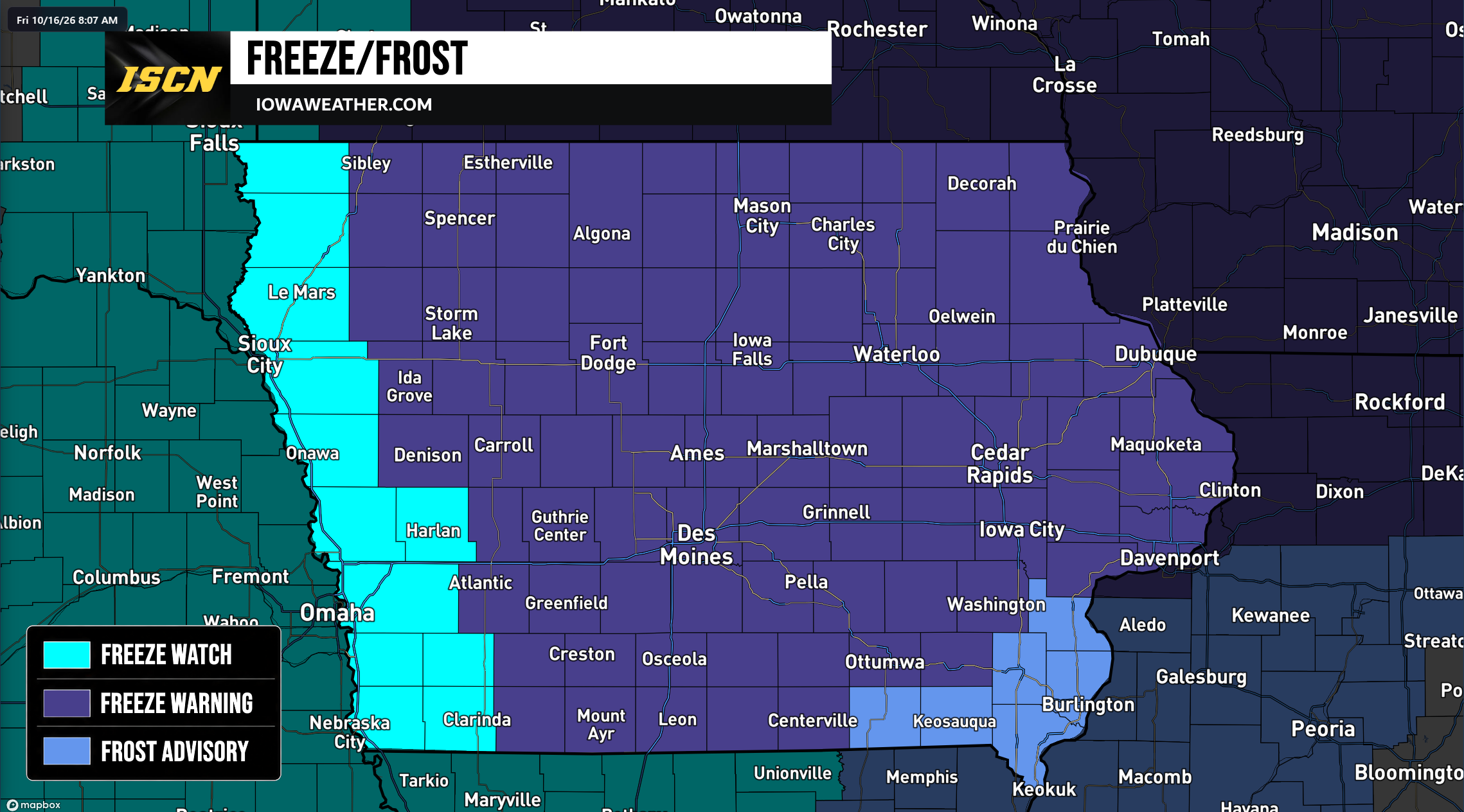 Widespread Freeze Warnings Issued Across Iowa as Temperatures Could Drop Into the 20s Saturday Morning
A widespread round of freezing temperatures is expected across Iowa early Saturday morning, prompting the National Weather Service to issue Freeze Warnings, Freeze Watches, and Frost Advisories for the entire state…
-
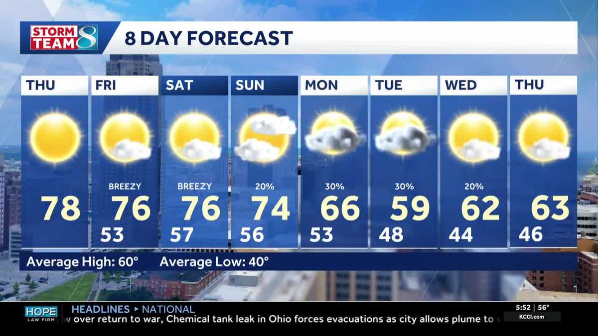 Iowa weather: Warm days continue into the weekend
We will continue to enjoy sunny weather for the rest of the week. Today is no exception, with highs in the mid- to upper-70s and south winds around 5 to 10 mph. A light layer may still be warranted for some of us, with…
-
 Corn and Soybean Harvest Behind Schedule in Iowa, First Frost of Season Seen
Corn and soybean harvest is behind schedule in Iowa. Ninety-eight percent of corn has reached maturity, which is even with the five-year average. Twenty-six percent of corn has been harvested, which is 24 percentage…
-
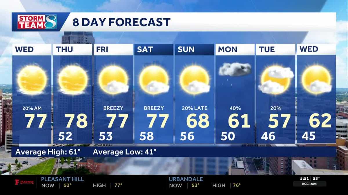 Iowa weather: Warm, dry conditions will come to an end next week
Clouds will linger a bit this morning, but most of the state will stay dry. Interactive Radar | Weather Alerts | Skycams There have been a few showers early this morning to the south and west, but the moisture is…
-
 Warm and dry weather pattern holds across Iowa
KWWL Unseasonably warm and dry conditions will continue tonight across Waterloo and much of Iowa. Patchy morning fog is possible, with a chance of rain returning this weekend.
-
 Thanksgiving weather predictions are out. What almanacs say for Iowa.
Iowa has finally been blessed with sunshine after September became the wettest month in 112 years. But will that sunshine last until Thanksgiving? Thanksgiving in 2026 falls on Thursday, Nov. 26. The holiday is always…
-
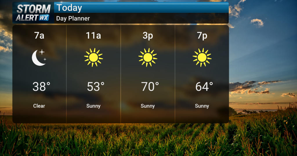 Sunny skies, warm temperatures across central Iowa today
Sunny skies are expected today across central and northern Iowa as warm conditions persist. High temperatures will reach the low 70s, with breezy conditions possible in northwest Iowa during the afternoon with gusts up…
-
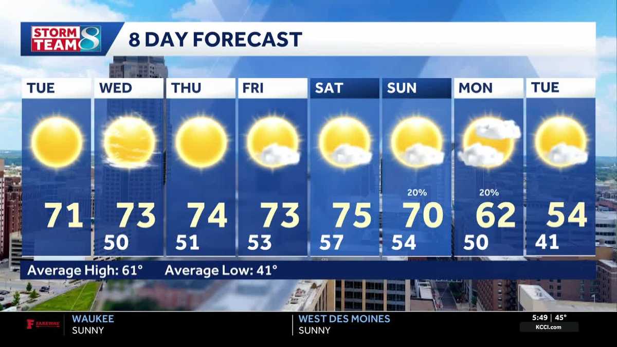 Iowa weather: 70s and sunshine continues
Another great day for outdoor plans is ahead for our Tuesday. High pressure is in place to our east, which will keep us dry all day. Our temperatures are still warmer than average, and we'll top out in the low 70s…
-
 Lane shift planned on Mount Vernon Drive in Iowa City
Drivers on Mount Vernon Drive in Iowa City should expect shifted lanes starting Tuesday, Oct. 20, weather permitting.The lane shift will affect the stretch betw ... Lane shift planned on Mount Vernon Drive in Iowa City…
-
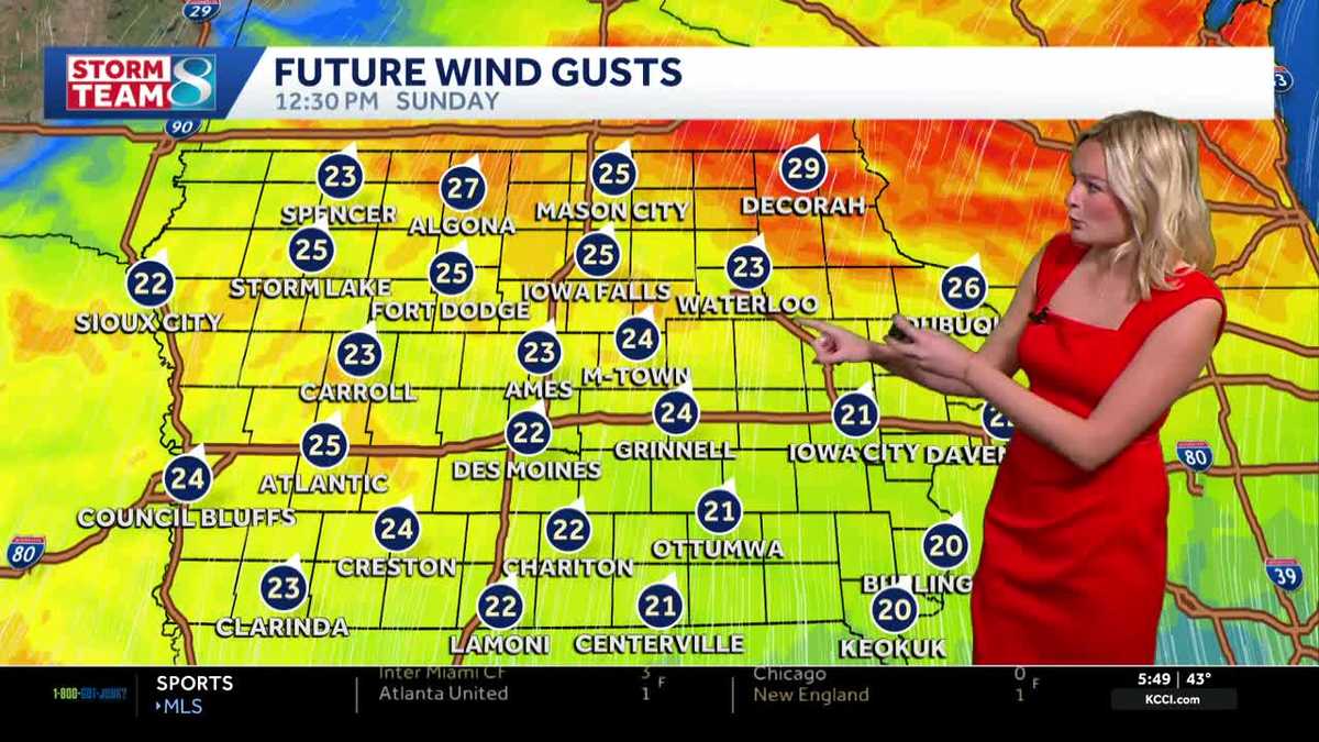 Iowa weather: Dry day before gradual warmup
It'll be a great day for outdoor plans with highs in the mid 60s and plenty of sunshine. High pressure to our east will keep our skies clear. It'll feel breezy with a wind out of the south gusting up to 25 mph at times…
Air quality
Air quality is satisfactory, and air pollution poses little or no risk.
Vermillion, SD reporting area · 1 hr ago. Data from AirNow (EPA and its state, local and tribal partners); preliminary and subject to change.
Sun & moon
Almanac
MonthlyLe Mars, records since 1896. Normals 1991–2020. Data from NOAA's Regional Climate Centers (ACIS).
Nearby
- Sioux City 38 km
- South Sioux City 41 km
- Sioux Center 32 km
- Orange City 25 km
- Sheldon 50 km
- Cherokee 50 km
- Sergeant Bluff 46 km
- Rock Valley 47 km
- North Sioux City 39 km
- Hawarden 34 km
- Dakota Dunes 43 km
- Hull 44 km
Forecasters' discussion
From the National Weather Service office in FSD, issued 3 hrs ago
Key Messages
- BREEZY WITH FALLING TEMPERATURES TODAY: A push of stronger winds arrives in south-central South Dakota near/just after sunrise. Gusts with this will increase to 35-40 mph for a brief period.
- COOLER WITH SCATTERED WEEKEND RAIN: A slow-moving front will bring increased clouds and occasional rain this weekend. Temperatures will be notably cooler (40s/50s) by Sunday.
- SIGNIFICANT RAINFALL LIKELY MONDAY-TUESDAY: A large multi-day system will bring widespread rain to start the new work week. Confidence in amounts over 1" through Tuesday morning remain high.
- ACTIVE WEATHER CONTINUES: A second fast moving system may bring rain chances back by Tuesday Night and Wednesday, with temperatures near seasonal normals.
Update
Issued at 253 AM CDT Sat Oct 24 2026
Scattered showers and very isolated thunderstorms are expected today as mid level moisture streams northward. This is in response to a strong north/south oriented jet that will increase through the day. Weak (300-500 J/kg CAPE) instability will bring the threat for a little lightning and very brief downpours. The better chances for this will be near and west of I-29. With the freezing level around 11 kft, even small hail is not expected. While most areas will only see lighter accumulations, some spotty locations could see 0.10" to 0.25".
While there will likely be a bit of a lull in showery activity from about mid afternoon into the early overnight hours, the next wave looks to move into central SD later tonight into Sunday. Low and mid level winds respond to this wave, increasing warm air advection and deepening moisture. Once again, the better chances appear to remain mostly west of I-29.
The area begins to lose saturation in the dgz on Sunday as this wave moves north through central SD. Saturation remains most persistent west of highway 81, with northwest IA seeing the largest struggle to saturate aloft. Some very weak elevated instability in northwest IA later Sunday afternoon may allow for a spotty shower or two.
Monday may end up cooler than forecast with low level cool air likely remaining locked in with rainfall occurring. Interesting to note that the Nam, while an outlier, would potentially bring a little mixed precipitation or snow to the Huron and Chamberlain areas Monday afternoon/evening. Most of the other data hangs on to slightly warmer temperatures, but not by a lot. Slightly warmer low level temperatures would also be supported by the exiting of the right entrance region of the northern jet and the increase of the southern jet during this time.
To put all of this into perspective, the latest Nam and RRFS total qpf through Tuesday morning places about 1-2.5" over south central into east central SD and while the EC ensemble, GEFS and Canadian ensemble are a bit more broad with their output, the location is very similar, if not a touch farther west. A fairly tight gradient from higher amounts to lower amounts will likely set up from about Vermillion to Windom. All in all this tracks fairly well with the mid level waves (700-500mb) over the next few days.
Discussion
Issued at 1218 PM CDT Fri Oct 23 2026
THIS AFTERNOON: Winds continue to increase early this afternoon with observed gusts between 30 and 45 mph. Temperatures continue to warm into the 70s, and potential for some highs in the 80s remain possible along and west of the James River valley. However, a persistent mid-upr cloud deck may limit the climb this afternoon. Out in western South Dakota, we're beginning to see the first signs of a frontal boundary forming that will gradually move eastward overnight. The fire danger remains very high this afternoon, especially for agricultural areas, please see separate discussion.
TONIGHT: An elongated upper trough stretching across the Rockies and into southern California will begin to stretch and split in two overnight. Northern energy tracking eastward across southern Canada will be strong enough to nudge the aforementioned surface boundary into the I-29 corridor by mid-mornign Saturday. Ahead of this boundary, convergence on a 40 knot LLJ and the arrival of a mid-lvl vorticity maxima should be enough to allow isolated to scattered showers to develop and and ahead of this boundary. MUCAPE may be as high as 300 J/KG after 3am, so have increased PotThunder to at least suggest isolated lightning strikes into mid-morning.
SATURDAY-SUNDAY: While northern stream energy moves eastward across Canada, a large upper trough will remain over the Four Corners region through the weekend. Overhead and closer to home, the aforementioned surface boundary will linger across the Tri-State area this weekend. This front, stacked on top by a low-lvl frontal zone, as well as somewhat persistent divergence from the right entrance region of an upper jet, will keep scattered rain chances and quite a bit of cloud cover through the area during the weekend. Now the degree of rain coverage is still up in the air, given somewhat diffuse and transient lift at times, but also some sub cloud dry air that could linger. So will continue to advertise a narrow stripe of low to mid-range PoPs that will fluctuate north and south with the movement of the low-lvl baroclinic zone.
Temperatures will be quite tricky on Saturday as the front bisecting the CWA could lead to a large temperature discrepancy from Huron to Storm Lake. 12Z guidance has trended downwards with highs slightly, so blended in short term guidance to account for trends the NBM may not have caught onto yet. There seems to be much more consistency in guidance that cooler air may sink further south behind the front for Sunday. With a persistent and cool northeast surface flow in the CWA, highs may struggle to break the 50s in portions of the CWA with the warmest highs near Highway 20.
MONDAY-TUESDAY: Slight discrepancies in medium range guidance on Thursday have resolved somewhat this morning. The large upper trough in the Four Corner begins to eject northeast late Sunday into Monday, and will begin to enhanced warm advection northward and increase the intensity of the low-lvl frontal zone through the CWA by Monday morning. We'll have to watch for any potential instability arrival, but fairly widespread moderate rain may begin to form Monday morning and gradually retreat northward as the upper trough enters the Plains.
Aviation
Issued at 1102 PM CDT Fri Oct 23 2026
Showers will increase in coverage through the morning hours on Saturday, with isolated thunderstorms possible. Any threat for thunder should end by the late morning hours, but scattered showers do look to continue at times through the end of the period. Some of the showers this morning will bring ceilings down to 2-3 kft, but otherwise VFR conditions are expected.
A cold front moves across the area today, which will turn winds to the northwest once it moves through. It will also bring a brief surge in wind gusts towards 35+ kts in south-central South Dakota immediately following the frontal passage near and just after sunrise.
Forecasts, observations and alerts in the United States come from the National Weather Service (NOAA); radar from NOAA's Multi-Radar Multi-Sensor system; satellite imagery from NASA's Global Imagery Browse Services (GIBS) and NOAA's GOES satellites; the map from the U.S. Geological Survey's National Map; air quality from AirNow (EPA and its partners); hurricane information from the National Hurricane Center; climate normals and records from NOAA's Regional Climate Centers (ACIS). Forecasts outside the United States and the UV index: MET Norway (CC BY 4.0); observations outside the U.S.: airport reports via NOAA's Aviation Weather Center. Place names: GeoNames (CC BY 4.0). Data are copied on a schedule and may lag the sources; for warnings that affect your safety, follow your local National Weather Service office and emergency officials. Weather news is drawn from the 4Search index and reflects what the press published. Terms of use.