Install
St. Marys, GA Weather
Current conditions
Forecast for this hour (no station report in the last two hours)
Forecast
10-day-
Sunday
A slight chance of rain showers after 5pm. Partly sunny. High near 72, with temperatures falling to around 71 in the afternoon. Northeast wind 17 to 23 mph, with gusts as high as 36 mph. Chance of precipitation is 20%. New rainfall amounts less than a tenth of an inch possible.
-
Sunday Night
A slight chance of rain showers before 8pm. Mostly cloudy. Low around 63, with temperatures rising to around 66 overnight. Northeast wind 16 to 22 mph, with gusts as high as 36 mph. Chance of precipitation is 20%. New rainfall amounts less than a tenth of an inch possible.
-
Monday
Mostly sunny. High near 74, with temperatures falling to around 72 in the afternoon. Northeast wind around 18 mph, with gusts as high as 26 mph.
National Weather Service forecast updated 12 hrs ago.
Hourly
Hourly forecast- Now71°
- 3 PM71°11%
- 4 PM71°14%
- 5 PM71°17%
- 6 PM71°16%
- 7 PM70°15%
- 8 PM68°13%
- 9 PM67°12%
- 10 PM67°10%
- 11 PM67°
- Mon12 AM67°
- 1 AM67°
- 2 AM67°
- 3 AM67°
- 4 AM66°
- 5 AM66°
- 6 AM65°
- 7 AM64°
- 8 AM63°
- 9 AM65°
- 10 AM68°
- 11 AM70°
- 12 PM71°
- 1 PM73°
10-day forecast
Details- TonightOct 24Partly Cloudy64°
- TodayOct 25Partly Sunny then Slight Chance Rain Showers17%63°72°
- MonOct 26Mostly Sunny62°74°
- TueOct 27Mostly Sunny62°76°
- WedOct 28Mostly Sunny25%66°76°
- ThuOct 29Chance Rain Showers35%64°74°
- FriOct 30Mostly Sunny14%64°75°
- SatOct 31Slight Chance Rain Showers18%76°
- SunNov 1Heavy showers0.33 in70°77°
- MonNov 2Cloudy0.02 in70°81°
Days after the National Weather Service's seven are MET Norway's outlook, a computer model with no forecaster's review.
Radar
Full mapWeather news near St. Marys
More weather news-
 Freeze Watch Upgraded to Warning for Almost All of Pennsylvania as Conditions Worsen
Freeze Warnings are now in effect for most of Pennsylvania from 1 a.m. to 9 a.m. EDT Sunday, with lows between 25 and 30 degrees expected in central Pennsylvania. The earlier Freeze Watches have been upgraded to…
-
 National Weather Service issues freeze warning
JC Post National Weather Service issues freeze warning - Including the cities of Manhattan, Washington, Greenleaf, Hiawatha, Herington, St. Marys, Linn, Sabetha, Bennington, Belleville, Hanover, Blue Rapids, Junction…
-
 WEATHER ALERT: Severe Thunderstorm Watch For Southern Maryland Until 8pm
SOUTHERN MARYLAND — The National Weather Service Baltimore/Washington has issued a Severe Thunderstorm Watch that includes Calvert, Charles and St. Mary’s counties through 8 p.m. Friday, Oct. 16. The Severe Thunderstorm…
-
 Fall weather is finally coming to Acadiana. And it’s bringing increased risk of fire danger.
After an extended stretch of above-normal temperatures, cooler fall weather is arriving in Acadiana this weekend. But gusty winds, low humidity and dry vegetation are raising concerns about fire danger. The National…
-
 Severe thunderstorm watch issued for most of Maryland
A severe thunderstorm watch is in effect until 8 p.m. Friday for the Baltimore-Washington region, according to the National Weather Service. Damaging winds are the main threat, and a brief tornado is possible…
-
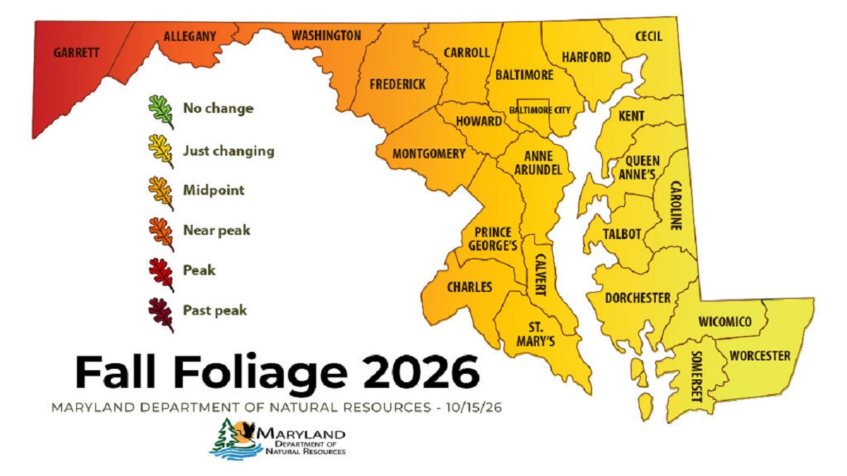 Western Maryland Peaks as Fall Color Spreads Across State
Leaf peepers looking for peak color this weekend will have to drive west. The Maryland Department of Natural Resources’ Oct. 15 fall foliage report shows Garrett County at peak and Allegany County close behind, while…
-
 Fall weather in full force across Georgia this weekend
CBS News Atlanta is a local news organization that is part of CBS News and Stations. Also referred to as WUPA and channel 69, CBS News Atlanta offers local breaking news, weather coverage and investigative reporting…
-
 North Georgia forecast: Sunny weekend, fall colors nearing peak
Atlanta starts Friday at 55 degrees, with temperatures expected to reach 72 by 4 p.m. Clear, dry weather will continue through the weekend, though breezy conditions should keep highs below 70 on Saturday and Sunday…
- Wind picks up this weekend with an eye on the tides for Coastal Georgia, Lowcountry
Friday is set to start off cool with lows in the 40s to around 50 degrees. A mild afternoon can be expected with highs in the 70s. Gusty winds arrive to start the weekend with gusts of 20-25+ mph expected, highest at…
-
 High fire danger in Cobb and much of Georgia Thursday
The National Weather Service issued a special weather statement for north and central Georgia for Thursday, Oct. 22. Weather reports can be packed with unfamiliar terms. Our plain-English guide to understanding weather…
Air quality
Forecast
- SunGood
- MonGood
- TueGood
Nassau County, FL reporting area. Data from AirNow (EPA and its state, local and tribal partners); preliminary and subject to change.
Sun & moon
Almanac
MonthlyFernandina Beach, records since 1892. Normals 1991–2020. Data from NOAA's Regional Climate Centers (ACIS).
Nearby
- Jacksonville 46 km
- Ponte Vedra Beach 57 km
- Jacksonville Beach 51 km
- Kingsland 16 km
- Brunswick 47 km
- Saint Simon Mills 51 km
- Atlantic Beach 46 km
- Saint Simons Island 50 km
- Fernandina Beach 10 km
- Yulee 12 km
- Country Club Estates 54 km
- Dock Junction 53 km
Forecasters' discussion
From the National Weather Service office in JAX, issued 2 hrs ago
Key Messages
For the latest NE FL and SE GA Daily Key Messages please visit: https:/www.weather.gov/media/jax/briefings/nws-jax-briefing.pdf
- Extended Duration of Coastal and Marine Hazards This Week. Coastal Flood Warning for Moderate to Locally Major Flooding around Times of High Tide Along the Atlantic Coast and Within the Intracoastal Waterway and the Entirety of the St. Johns River Basin extended through Tuesday and Wednesday. Wind Advisory for the Atlantic Coastal Counties extended through this Evening. Gale Warning for the Atlantic Waters extended through Monday Night. High Surf Advisory & High Risk for Rip Currents through most of this Week. Major Beach Erosion around Times of High Tide through most of this Week. Locally Heavy Rainfall Possible for Coastal Northeast FL
Near Term
Main Highlights: Through Tonight
- Moderate to Locally Major Coastal/Tidal Flooding Atlantic Coast, ICWW and St. Johns River
- Wind Advisory Atlantic Coast/St. Johns River gusts to 40 mph
- Locally heavy rainfall possible NE FL Coast/I-95 south of JAX
Sharp coastal troughing remains over the area with strong high pressure centered over the Mid-Atlantic states wedging down the eastern seaboard and weak Atlantic low pressure lingering to the southeast. Wind Advisory remains into this evening for the gusty north-northeasterly winds along the SE GA and NE FL coasts. Wind gusts could reach up to around 40 mph at times. Breezy conditions linger overnight with the continued tight pressure gradient. Waves of numerous coastal showers will shift onshore through the late afternoon and evening hours mainly for coastal NE FL counties and I- 95 corridor south of JAX. A few convergent bands may form along the NE FL coast bringing heavier downpours and localized flooding. If these bands coincide with the evening high tide cycle, this could exacerbate the already significant tidal flooding expected. Shower activity wanes overnight with a few coastal showers shifting onshore mainly south of St. Augustine. Meanwhile, a drier airmass (PWATs < 1 in) will keep inland SE GA and Suwannee Valley rain-free. Overnight lows will range from the mid 50s inland SE GA to the upper 60s along the NE FL coast.
Short Term
Main Highlights This Period:
- Coastal and Marine Hazards Continue, with Coastal Flood Warnings Remaining in Effect along the Atlantic Coast, Intracoastal Waterway and St. Johns River Basin. Moderate Tidal Flooding Will Continue Around Times of High Tide for these Locations.
- Wind Advisory Conditions are Likely to Continue through Monday Afternoon at Coastal Locations.
- Gale Warnings Continue for the Atlantic Waters through Monday Night.
- Dangerous and High Surf Conditions Continue, with High Surf Advisories and a High Risk for Deadly Rip Currents at All Area Beaches. Pounding Surf During High Tide Cycles Will Cause Major Beach Erosion.
A tight pressure gradient situated over the forecast area, between high pressure ridging to the north and a sharp coastal trough to the east and southeast, will act to keep wind speeds of 25 to 30 mph on Monday with wind gusts reaching upwards of 35+ mph, with coastal impacts carrying over through the beginning of the week as astronomical high tides continue. Rain showers moving onshore with the flow pattern will diminish by Tuesday as drier air following the flow pattern advects over the forecast area. High temperatures for the beginning of the week will rise into the upper 70s and lower 80s. Overnight low temperatures will drop down into the lower to mid 50s for southeast Georgia and will range between the upper 50s and lower to mid 60s for northeast Florida, with min temps in the upper 60s along the coast.
Long Term
Main Highlights This Period:
- Coastal and Marine Hazards Continue, with Moderate Tidal Flooding Likely During Times of High Tide Within the St. Johns River Basin. Minor to Moderate Tidal Flooding Will Continue for Much of the Upcoming Week Along the Atlantic Coast and Within the Intracoastal Waterway.
- Dangerous and High Surf Conditions Persist, with a High Risk for Deadly Rip Currents and Significant Beach Erosion Continuing at Area Beaches.
- Coastal Shower Coverage Increases along the I-95 Corridor as Northeasterly Winds Again Surge from late Wednesday through Friday.
Northeasterly flow will persist through the week into Friday which, along with coastal troughing and astronomical high tides, will result in a continuance of coastal and marine impacts through the week. Coastal troughing will sharpen after midweek resulting in increased moisture levels and higher chances for showers and storms along the coast and extending into northeast Florida through Friday and into Saturday and Sunday. Temperatures will trend near and slightly above average for the end of the week and through into the weekend.
Forecasts, observations and alerts in the United States come from the National Weather Service (NOAA); radar from NOAA's Multi-Radar Multi-Sensor system; satellite imagery from NASA's Global Imagery Browse Services (GIBS) and NOAA's GOES satellites; the map from the U.S. Geological Survey's National Map; air quality from AirNow (EPA and its partners); hurricane information from the National Hurricane Center; climate normals and records from NOAA's Regional Climate Centers (ACIS). Forecasts outside the United States and the UV index: MET Norway (CC BY 4.0); observations outside the U.S.: airport reports via NOAA's Aviation Weather Center. Place names: GeoNames (CC BY 4.0). Data are copied on a schedule and may lag the sources; for warnings that affect your safety, follow your local National Weather Service office and emergency officials. Weather news is drawn from the 4Search index and reflects what the press published. Terms of use. How to use Weather