Install
Holly Springs, GA Weather
Current conditions
Observed at Canton, Cherokee County Airport · 53 min ago
Forecast
10-day-
Monday
Sunny, with a high near 72. Northeast wind around 5 mph.
-
Monday Night
Partly cloudy, with a low around 45. Northeast wind 0 to 5 mph.
-
Tuesday
Sunny, with a high near 75. East wind 0 to 5 mph.
National Weather Service forecast updated 16 hrs ago.
Hourly
Hourly forecast- Now71°
- 6 PM69°
- 7 PM65°
- 8 PM59°
- 9 PM56°
- 10 PM54°
- 11 PM52°
- Tue12 AM50°
- 1 AM49°
- 2 AM49°
- 3 AM47°
- 4 AM46°
- 5 AM46°
- 6 AM45°
- 7 AM45°
- 8 AM45°
- 9 AM47°
- 10 AM54°
- 11 AM63°
- 12 PM68°
- 1 PM71°
- 2 PM73°
- 3 PM74°
- 4 PM75°
10-day forecast
Details- TonightOct 25Mostly Clear46°
- TodayOct 26Sunny45°72°
- TueOct 27Sunny47°75°
- WedOct 28Partly Sunny50°72°
- ThuOct 29Sunny51°75°
- FriOct 30Mostly Sunny54°77°
- SatOct 31Partly Sunny28%57°76°
- SunNov 1Chance Showers And Thunderstorms46%75°
- MonNov 2Cloudy59°71°
- TueNov 3Light rain0.03 in59°75°
Days after the National Weather Service's seven are MET Norway's outlook, a computer model with no forecaster's review.
Radar
Full mapWeather news in Georgia
More weather news-
 Hottest Mays in Georgia since 1895
Stacker compiled a ranking of the hottest Mays in Georgia since 1895 using data from the National Centers for Environmental Information. Rankings are based on the highest average temperature in each month. For each of…
-
 Winter weather preparedness checklist: Items to stock in your home, car
An ice storm warning and winter weather advisory are now in effect for north Georgia for this weekend’s winter storm. Significant ice accumulation is possible with the system. Combine the weight of the ice with gusty…
-
 Jamie Ertle’s First Alert Forecast for Oct. 25, 2026
In the mean time, dry conditions and slightly below normal temperatures will continue through early next week before gradually warming up by the end of the week, HALLOWEEN! Sunday: 76 and mostly sunny, NE winds 15-20…
-
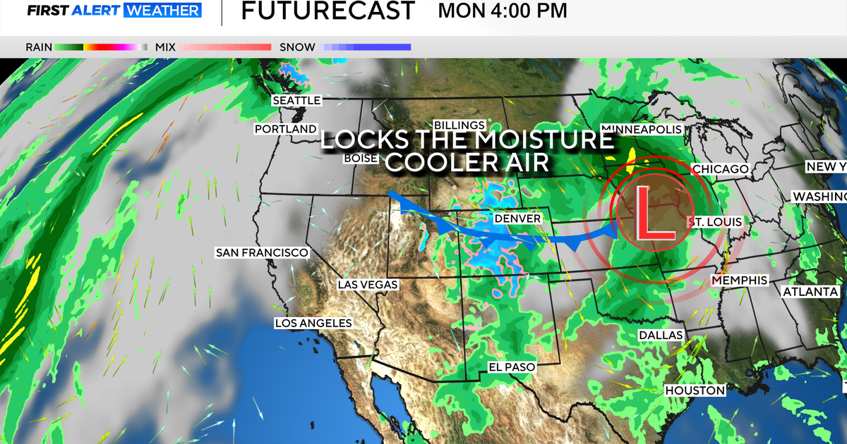 Colorado's dry week could end with a big storm bringing heavy rain and mountain snow
October 26, 2026 / 12:52 PM MDT / CBS Colorado Another storm is looming in Colorado's extended forecast, and we've seen this play out before. The script remains familiar: A surge of Pacific moisture moves into the…
-
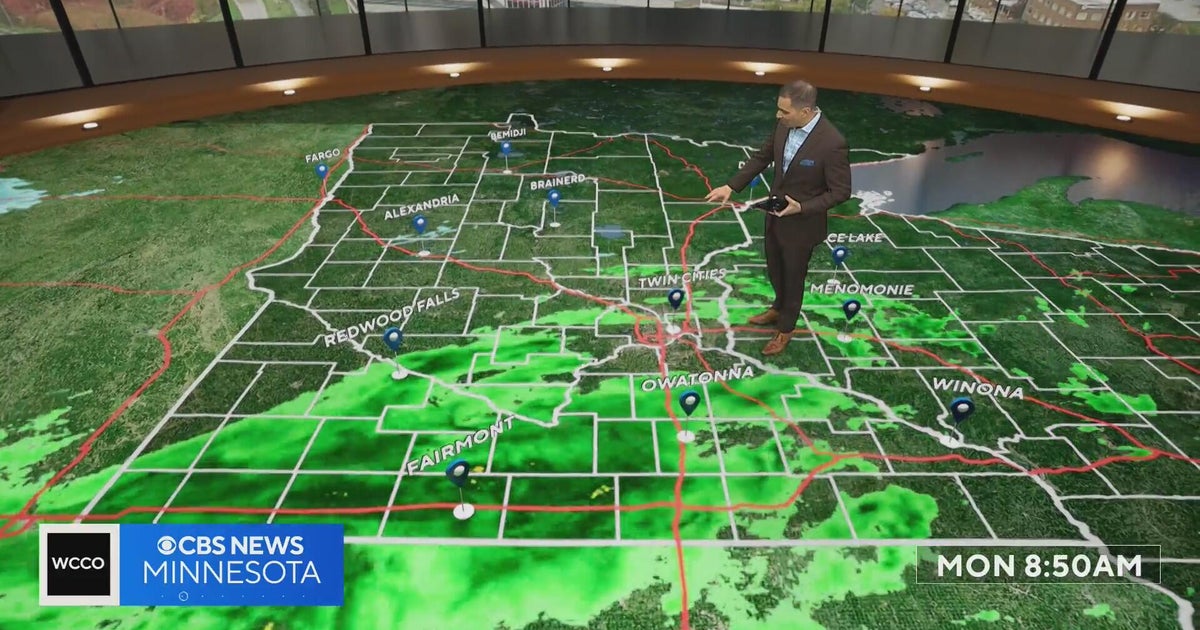 This October is on track to be one of the warmest on record in the Twin Cities | Oct. 26, 2026
CBS News Minnesota is a local news organization that is part of CBS News and Stations. Also referred to as WCCO-TV and channel 4, CBS News Minnesota offers local breaking news, weather coverage and investigative…
-
 Halloween eye safety dos and don’ts: Skip store-bought costume contacts, go easy on glitter
CBS News Minnesota is a local news organization that is part of CBS News and Stations. Also referred to as WCCO-TV and channel 4, CBS News Minnesota offers local breaking news, weather coverage and investigative…
-
 Eyeball olives and a marshmallow spiderweb: How to make a scary snack board
CBS News Minnesota is a local news organization that is part of CBS News and Stations. Also referred to as WCCO-TV and channel 4, CBS News Minnesota offers local breaking news, weather coverage and investigative…
-
 Get your flu shot now, as it may take about 2 weeks to take full effect
Scott Swanson, vice president of Cub Pharmacy, says flu season typically peaks in December and January, so a shot at the end of October protects you by mid-November, ahead of holiday gatherings. Walk-ins and…
-
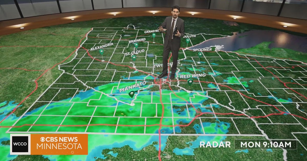 Minnesota weather veers toward soaking rain Monday, with some areas topping an inch | Oct. 26, 2026
Widespread rain moves through, with the heaviest amounts in western and central Minnesota, and highs only in the 40s. Rain exits early Tuesday, then skies gradually clear and highs rebound into the 50s and 60s, WCCO…
-
 Southern California's Halloween weekend seeing greater potential for rain
October 26, 2026 / 7:48 AM PDT / CBS LA Confidence is growing that Southern California's Halloween weekend will be wet, although it's unclear just how wet as of Monday. According to the National Weather Service, there's…
Air quality
Air quality is satisfactory, and air pollution poses little or no risk.
Forecast
- MonModerate (53)
- TueModerate (55)
Atlanta, GA reporting area · 1 hr ago. Data from AirNow (EPA and its state, local and tribal partners); preliminary and subject to change.
Sun & moon
Almanac
MonthlyAllatoona Dam 2, records since 1946. Normals 1991–2020. Data from NOAA's Regional Climate Centers (ACIS).
Nearby
- Atlanta 48 km
- Sandy Springs 30 km
- Roswell 21 km
- Johns Creek 32 km
- Alpharetta 22 km
- Marietta 25 km
- Smyrna 32 km
- Brookhaven 38 km
- Dunwoody 30 km
- Peachtree Corners 34 km
- Milton 19 km
- Mableton 40 km
Forecasters' discussion
From the National Weather Service office in FFC, issued 2 hrs ago
Key Messages
- Rain-free conditions will remain through the end of the work week.
- Near-seasonal temperatures expected with a slight warm up by the end of the week.
- Precipitation chances begin to increase as we get into next weekend.
Short Term
(This afternoon through Tuesday) Issued at 124 PM EDT Mon Oct 26 2026
Current satellite loop shows mostly clear conditions with some high clouds streaming across the region. Models continue to show a fairly strong high pressure ridge centered over Eastern TN keeping North and Central GA precipitation free. The ridge center is expected to move NE and recenter itself across the Mid-Atlantic states by Wed morning. This will keep us in E to NERLY flow through the week and keep things dry as well. This easterly flow is bringing in a bit of moisture return from the Atlantic but not enough for precip chances...just enough to keep keep RH values above critical fire danger thresholds.
Temps staying in the upper 60s to middle 70s through the short term with morning lows in the 40s to near 50 deg. May see some upper 30s across the NE GA mountains Tonight.
Long Term
(Wednesday morning through next Sunday) Issued at 124 PM EDT Mon Oct 26 2026
No major changes in the extended periods. For the first time in a while, we get to talk about the possibility of a small break in our weather pattern that brings some precipitation chances creeping into the forecast (just in time for Halloween, of course).
The work-week continues to look sunny and mild with daily high temperatures in the 70s and daily lows in the 40s and 50s. There will be some variations of a few degrees thanks to some moving pieces aloft on the periphery of the southeast, but the overall sensible weather won't feel much different day to day. Another potent trough diving across the northeast will bring yet another 1035 surface high over the northern Appalachians, bring another psuedo-wedge airmass diving down the Appalachians and into the CWA. This will reinforce the dry, Fall air in place on Wednesday and could even keep highs closer to 70 or even the upper 60s in some places. Weak surface high pressure settles over the area Thursday into Friday and will slowly warm a bit, bringing us into the mid to upper 70s (maybe touching a few 80s in central Georgia by Friday). This airmass is dry and never really accesses any moisture thanks to broad surface low that continues to churn just off the southeast coast, so no precip chances expected.
This all may begin to change a bit going into Saturday. The players will be another strong wave diving across the northern polar jet in the northeast, building southwesterly flow aloft across the south, and a series of shortwaves embedded within that flow. Unsurprisingly, uncertainty in the forecast is somewhat high, as the timing of each of these players may have big impacts on what we see. Of the ensemble members, the scenario which seems to deliver rain has a faster timing of an initial shortwave within that southwest flow that runs into another potential wedge/CAD across us, even if weak. This allow for some additional overrunning of moisture and isentropic lift within the broader lift provided by the weak shortwave that generates some shower potential. As of right now, the 15%-25% PoPs showing up Saturday afternoon into the evening seems in line with the number of models showing something like the above. The rest push better precip chances later due to short wave timing being slower, initial wave being even weaker, etc. Sadly, this means we can no longer say Halloween will for sure be dry, and instead we will need to watch things.
Aviation
(18Z TAFS) Issued at 1255 PM EDT Mon Oct 26 2026
Mostly clear skies with no precipitation or restrictions to VSBYs expected. E to NE winds in the 5-10kt range with speeds diminishing to 5kt or less overnight.
//ATL Confidence...18Z Update... Confidence high on all elements.
01
Forecasts, observations and alerts in the United States come from the National Weather Service (NOAA); radar from NOAA's Multi-Radar Multi-Sensor system; satellite imagery from NASA's Global Imagery Browse Services (GIBS) and NOAA's GOES satellites; the map from the U.S. Geological Survey's National Map; air quality from AirNow (EPA and its partners); hurricane information from the National Hurricane Center; climate normals and records from NOAA's Regional Climate Centers (ACIS). Forecasts outside the United States and the UV index: MET Norway (CC BY 4.0); observations outside the U.S.: airport reports via NOAA's Aviation Weather Center. Place names: GeoNames (CC BY 4.0). Data are copied on a schedule and may lag the sources; for warnings that affect your safety, follow your local National Weather Service office and emergency officials. Weather news is drawn from the 4Search index and reflects what the press published. Terms of use. How to use Weather